Overview
Kenai Peninsula Borough GIS Data – For CAD
Equator helps civil engineering, architecture and consulting firms with the tools to instantly find, process and download accurate LiDAR, contours, parcel data, building footprints, DEMs, point clouds and other GIS data for Kenai Peninsula Borough in an online web mapping portal.
Kenai Peninsula Borough GIS Data →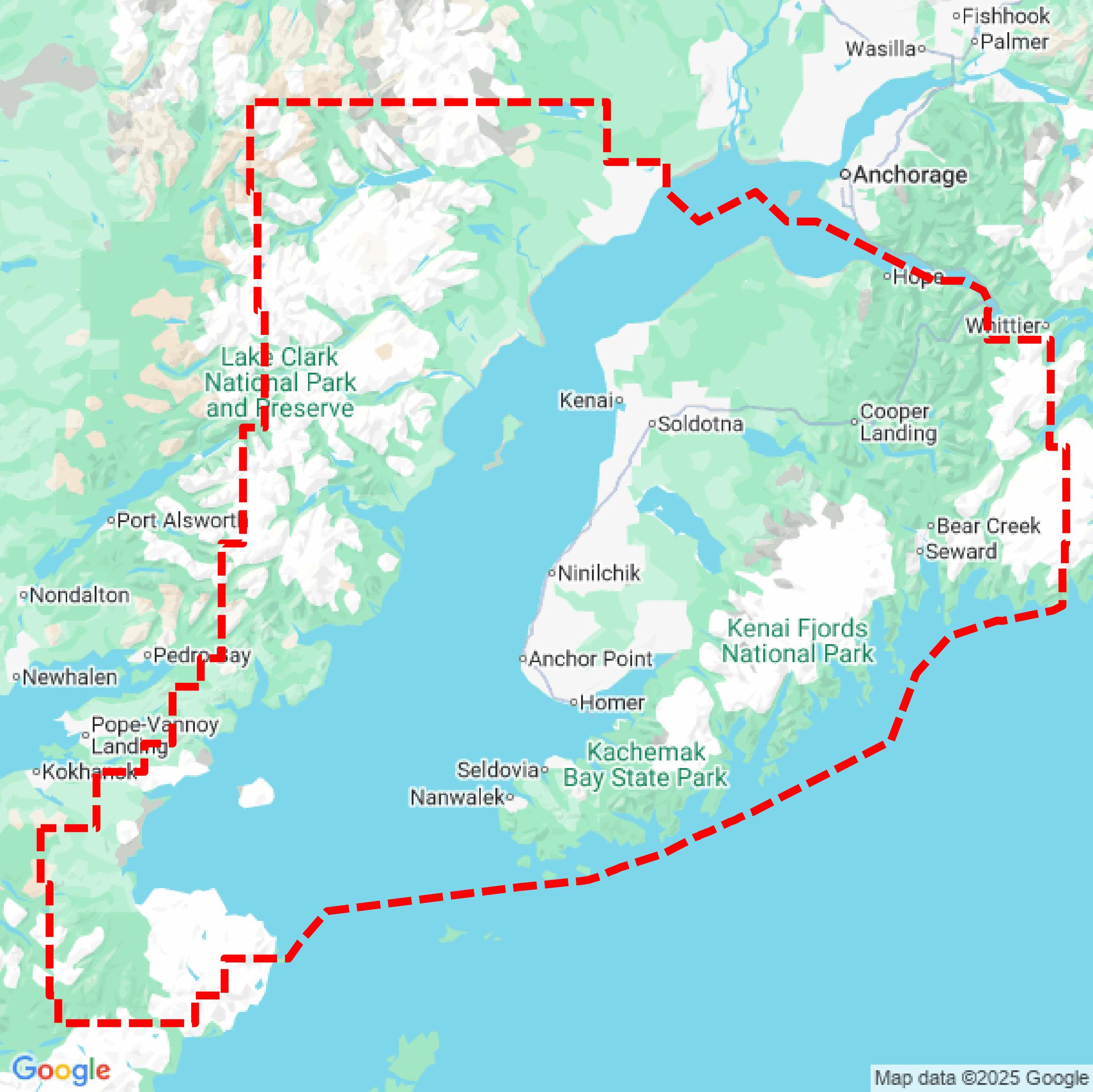

Data Available
Download GIS Data for Kenai Peninsula Borough
Parcels and Buildings
This image shows parcel and building data in Kenai Peninsula Borough created using GIS data in Equator.
Get Parcels and Buildings for Kenai Peninsula BoroughLiDAR
This image shows a LiDAR point cloud in Kenai Peninsula Borough created using GIS data in Equator.
Get LiDAR for Kenai Peninsula BoroughContours
This image shows a contour map in Kenai Peninsula Borough created using GIS data in Equator.
Get Contours for Kenai Peninsula BoroughFormats Available
Export Your Data Ready to Use in Multiple Formats
DWG
AutoCAD Drawing - Industry-standard CAD format
Supported Data:
Contour, Parcel, Building Outline
SHP
Shapefile - Standard GIS vector format
Supported Data:
Contour, Parcel, Building Outline
DXF
Drawing Exchange Format - Universal CAD interchange
Supported Data:
Contour, Building Outline
GeoJSON
Geographic JSON - Web-friendly spatial data format
Supported Data:
Contour, Parcel, Building Outline
LAZ
Compressed LAS - Efficient LiDAR point cloud format
Supported Data:
Point Cloud
SVG
Scalable Vector Graphics - Web vector format
Supported Data:
Contour, Building Outline
GPKG (Coming Soon)
GeoPackage - Modern OGC spatial database format
Supported Data:
Contour, Parcel, Building Outline
LandXML (Coming Soon)
Land XML - Civil engineering data exchange format
Supported Data:
Point Cloud
TIN (Coming Soon)
Triangulated Irregular Network - 3D surface model
Supported Data:
Point Cloud
XYZ (Coming Soon)
XYZ Point Cloud - Simple ASCII point cloud format
Supported Data:
Point Cloud
Background
GIS Data for Kenai Peninsula Borough
The Kenai Peninsula Borough GeoHub provides access to a variety of Geographic Information System (GIS) datasets, maps, and spatial data resources relevant to the borough. The portal includes authoritative data downloads, printable maps, and interactive applications such as the viewKPB tool, which features the latest data and utilities like Sales Tax Rate Lookup. Available content encompasses parcel data, zoning information, floodplain areas, flood depths, and various printable maps depicting assembly districts, city limits, local option zoning, and trails, supporting both governmental decision-making and community engagement.
Access Kenai Peninsula Borough GIS Data in Equator →Kenai Peninsula Borough Portal →Showcase
Sample GIS Data for Kenai Peninsula Borough
Parcels and Buildings
Parcel and building data in Kenai Peninsula Borough are used in a variety of fields including architecture, real estate, and urban planning.
Get Parcels and Buildings for Kenai Peninsula BoroughLiDAR
Point clouds (LiDAR) in Kenai Peninsula Borough can produce highly accurate 3D models of terrain, structures, and vegetation.
Get LiDAR for Kenai Peninsula BoroughContours
Contours in Kenai Peninsula Borough visualize 3D elevations on a 2D surface allowing you to better understand your site.
Get Contours for Kenai Peninsula Borough