Overview
St. Francis County GIS Data – For CAD
Equator helps civil engineering, architecture and consulting firms with the tools to instantly find, process and download accurate LiDAR, contours, parcel data, building footprints, DEMs, point clouds and other GIS data for St. Francis County in an online web mapping portal.
St. Francis County GIS Data →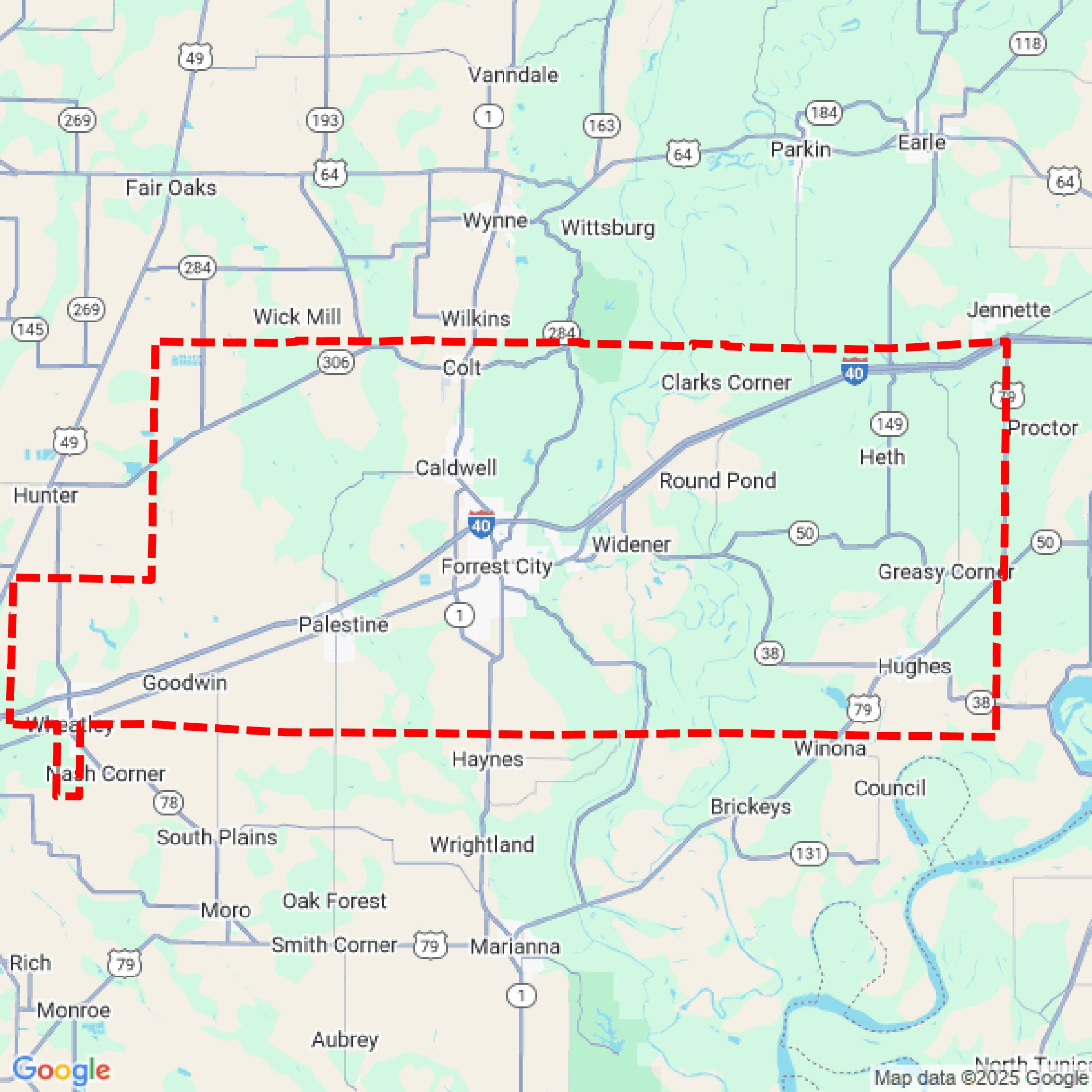

Data Available
Download GIS Data for St. Francis County
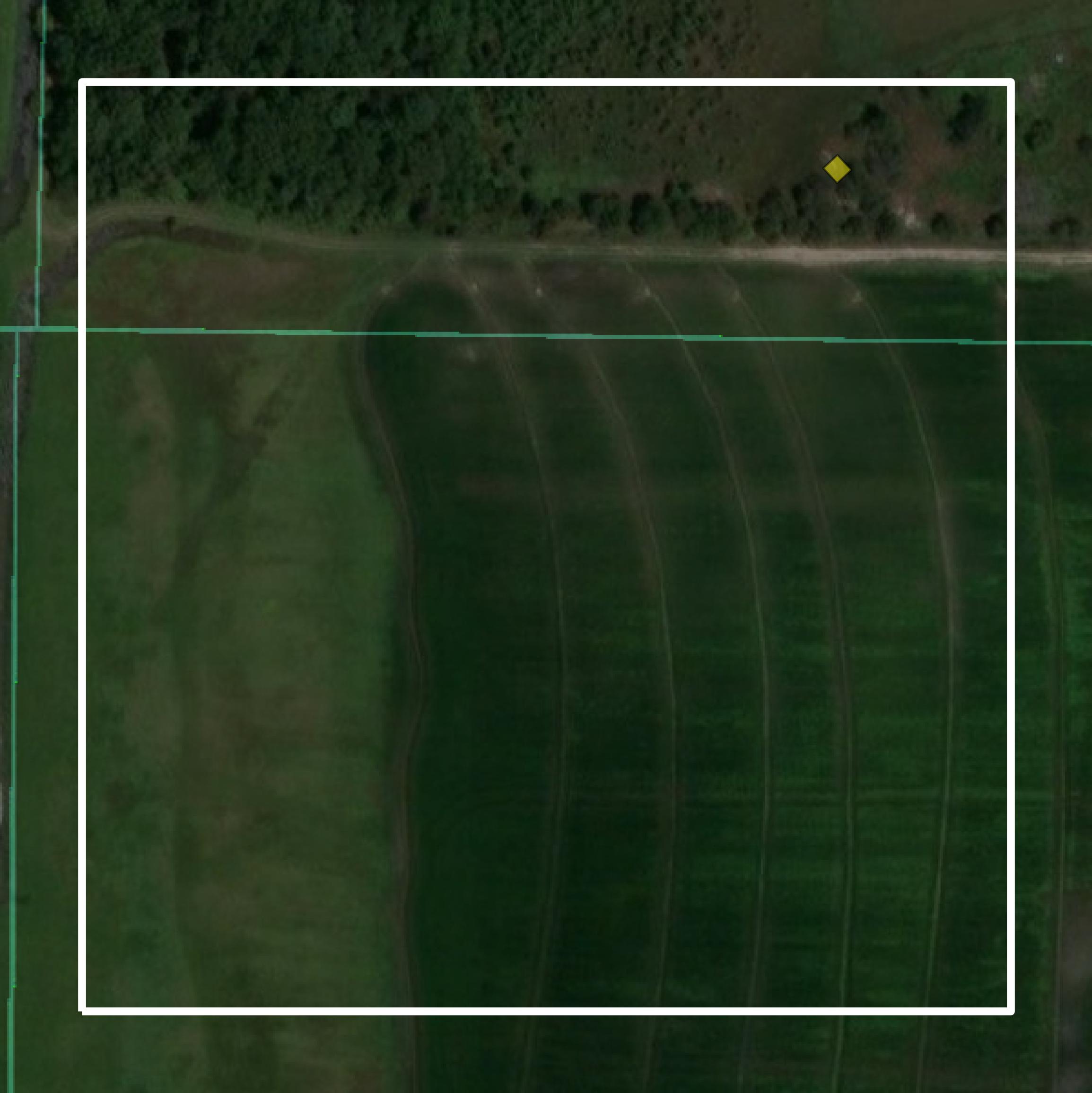
Parcels and Buildings
This image shows parcel and building data in St. Francis County created using GIS data in Equator.
Get Parcels and Buildings for St. Francis County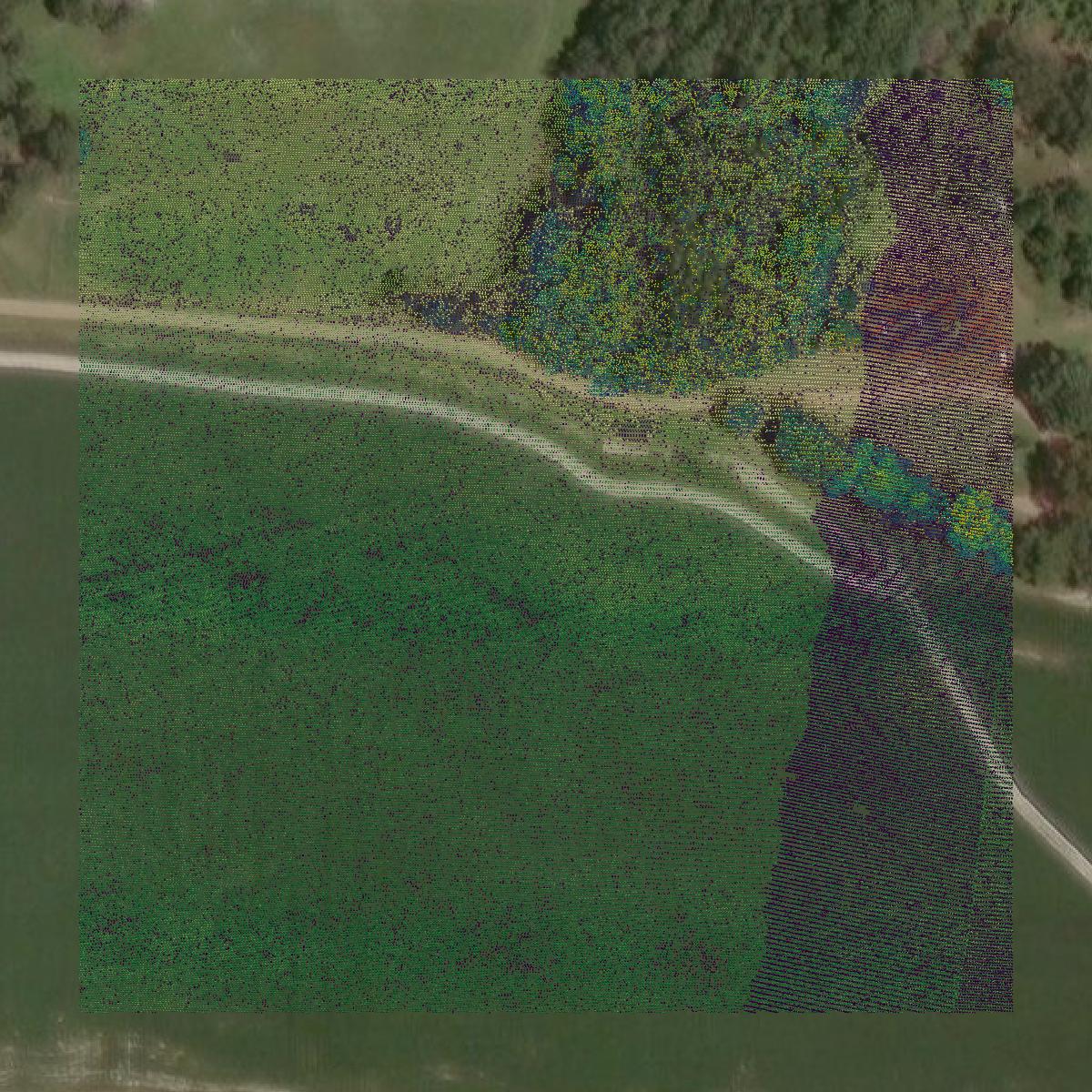
LiDAR
This image shows a LiDAR point cloud in St. Francis County created using GIS data in Equator.
Get LiDAR for St. Francis County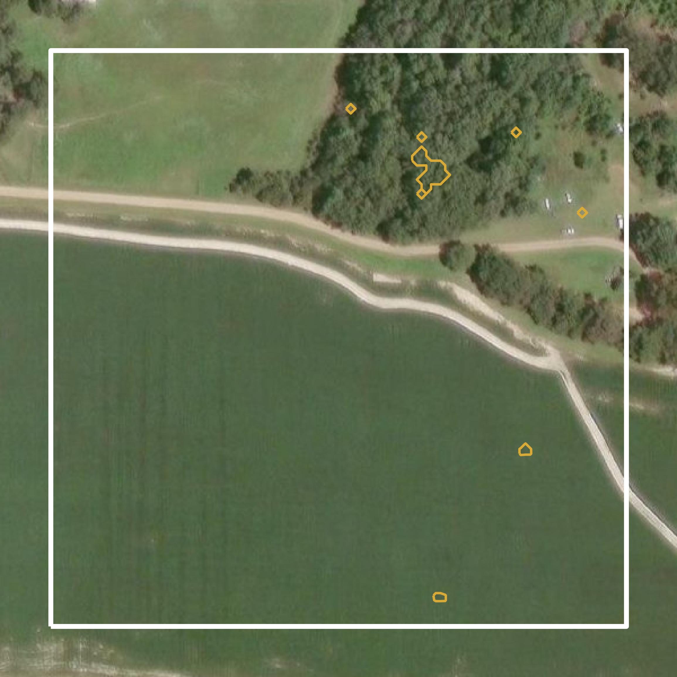
Contours
This image shows a contour map in St. Francis County created using GIS data in Equator.
Get Contours for St. Francis CountyBackground
GIS Data for St. Francis County
The official website for St. Francis County, Arkansas, provides access to various Geographic Information System (GIS) datasets and spatial data resources. Available content includes parcel data, zoning information, and aerial imagery, which serve to support land use planning and community development. The portal aims to enhance public access to geographic data, facilitating informed decision-making for residents, businesses, and government entities within the county.
Access St. Francis County GIS Data in Equator →St. Francis County Portal →Showcase
Sample GIS Data for St. Francis County
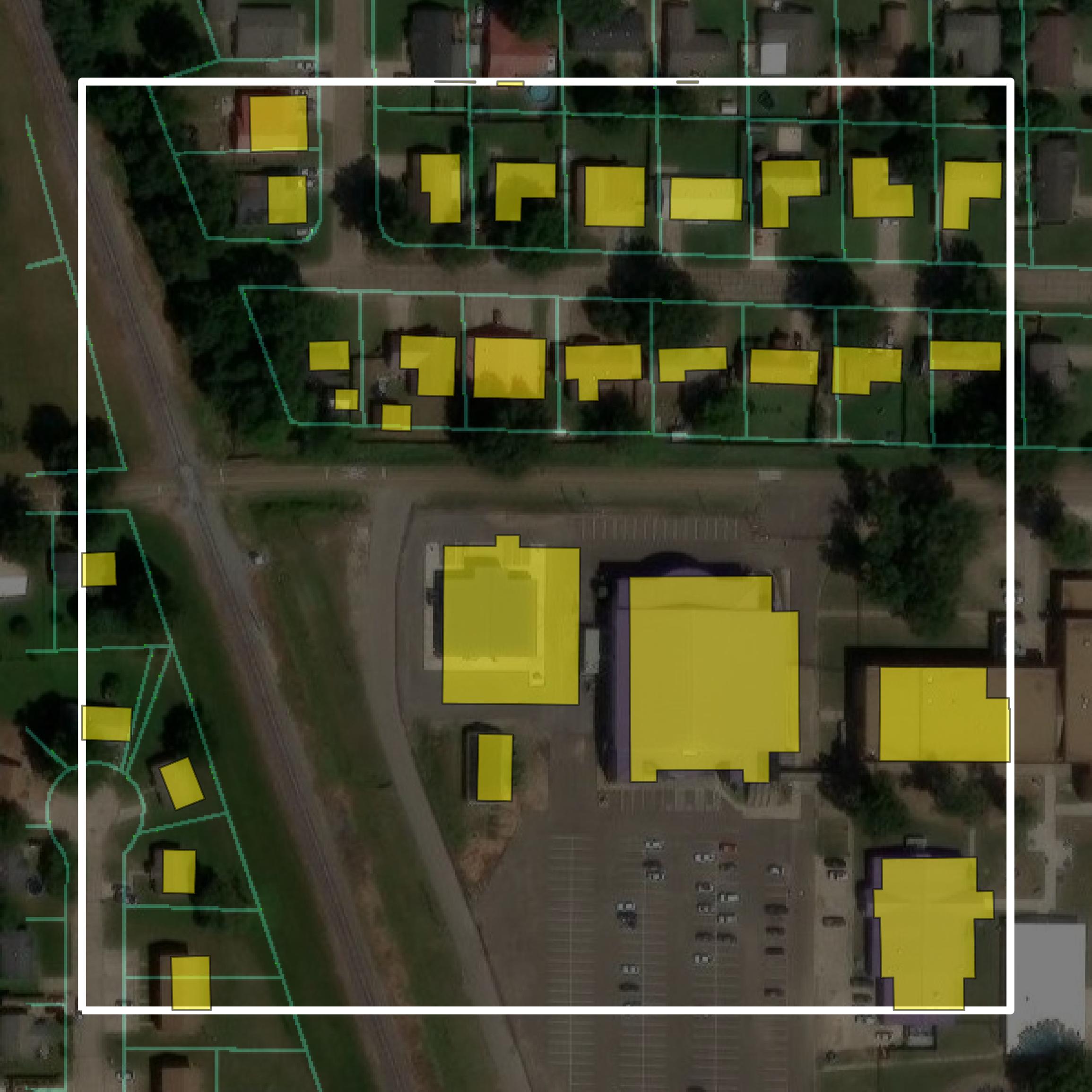
Parcels and Buildings
Parcel and building data in St. Francis County are used in a variety of fields including architecture, real estate, and urban planning.
Get Parcels and Buildings for St. Francis County
LiDAR
Point clouds (LiDAR) in St. Francis County can produce highly accurate 3D models of terrain, structures, and vegetation.
Get LiDAR for St. Francis County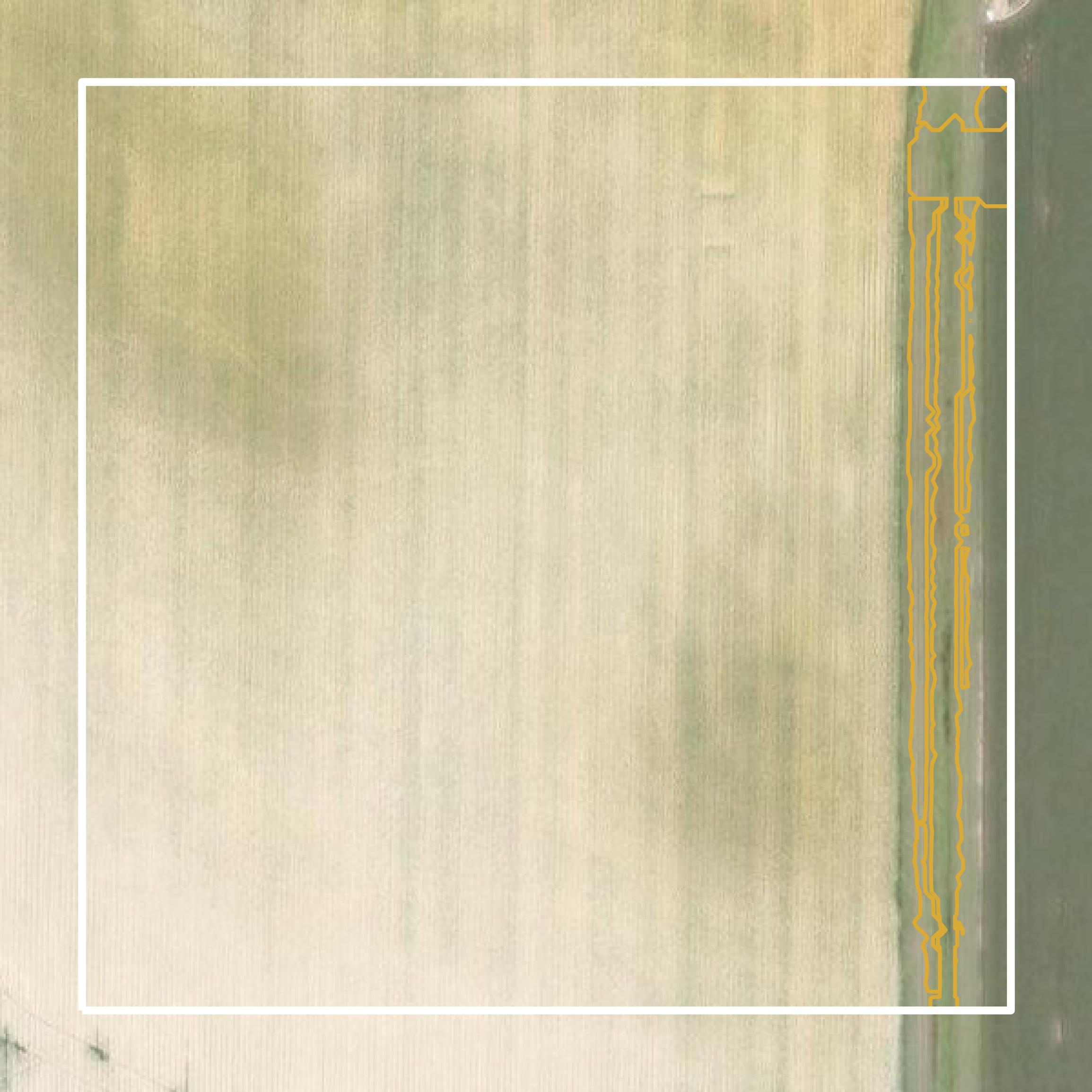
Contours
Contours in St. Francis County visualize 3D elevations on a 2D surface allowing you to better understand your site.
Get Contours for St. Francis County