Overview
Pinellas County GIS Data – For CAD
Equator helps civil engineering, architecture and consulting firms with the tools to instantly find, process and download accurate LiDAR, contours, parcel data, building footprints, DEMs, point clouds and other GIS data for Pinellas County in an online web mapping portal.
Pinellas County GIS Data →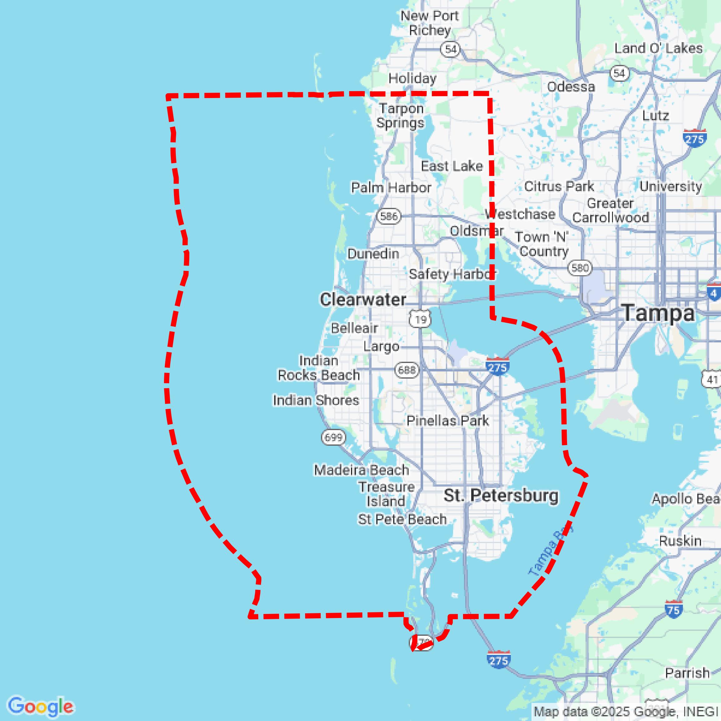

Data Available
Download GIS Data for Pinellas County
Parcels and Buildings
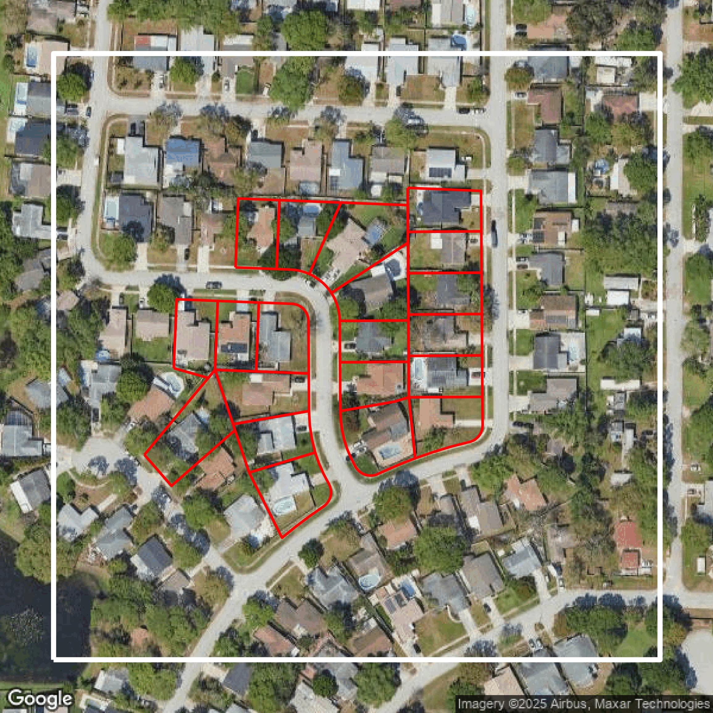
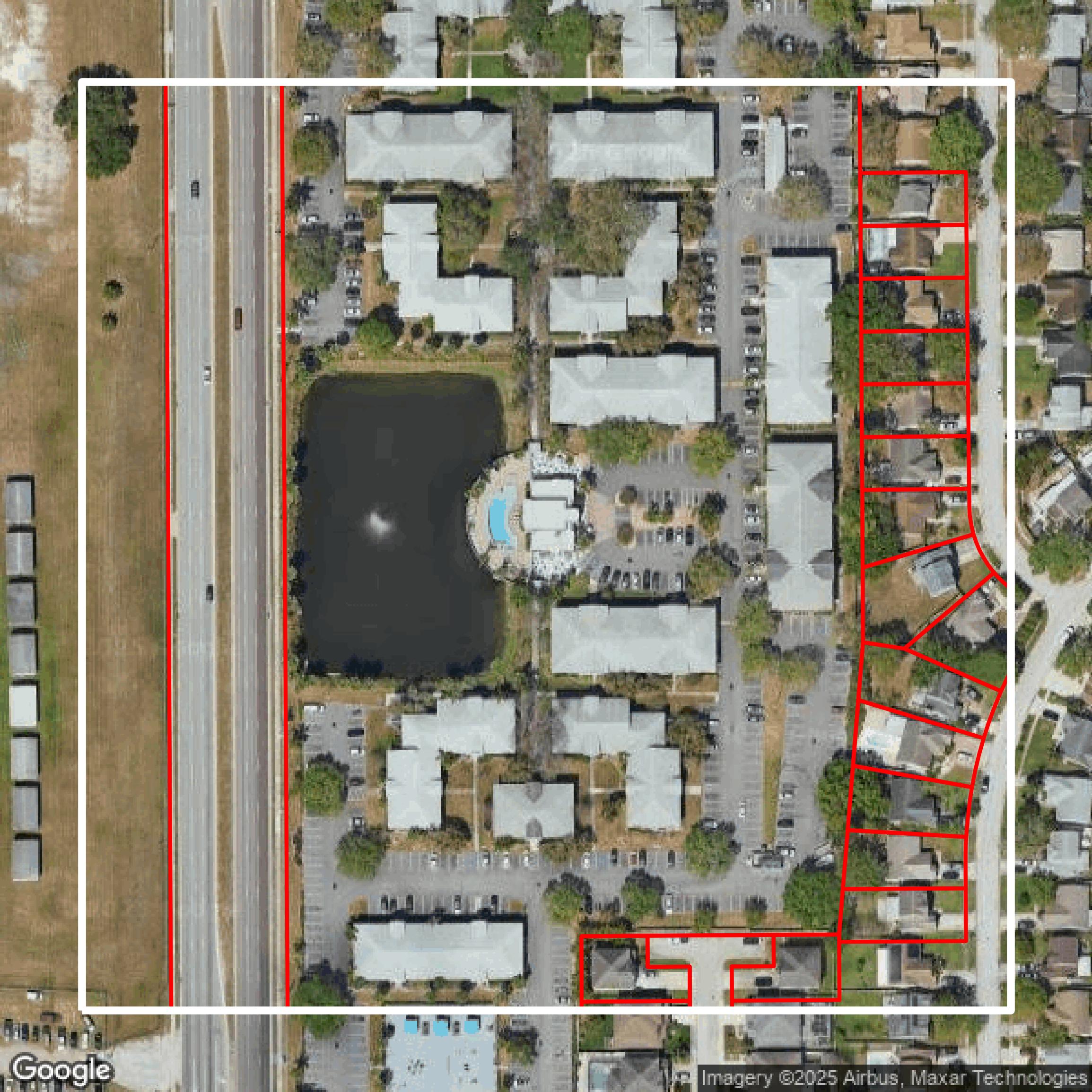
This image shows parcel and building data in Pinellas County created using GIS data in Equator.
Get Parcels and Buildings for Pinellas County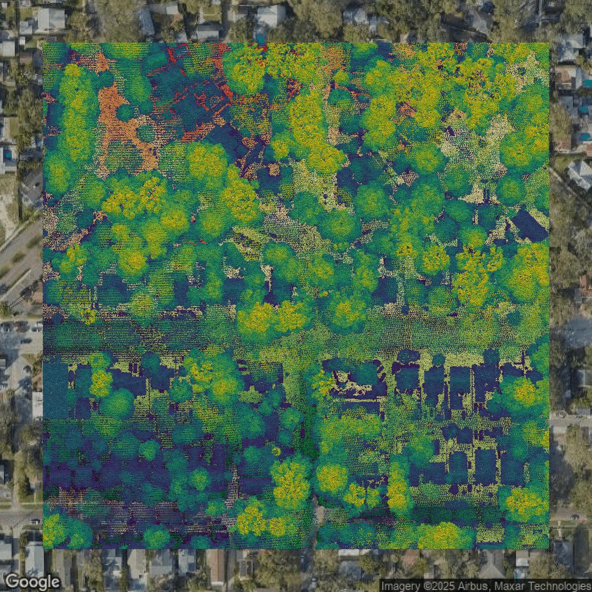
LiDAR
This image shows a LiDAR point cloud in Pinellas County created using GIS data in Equator.
Get LiDAR for Pinellas County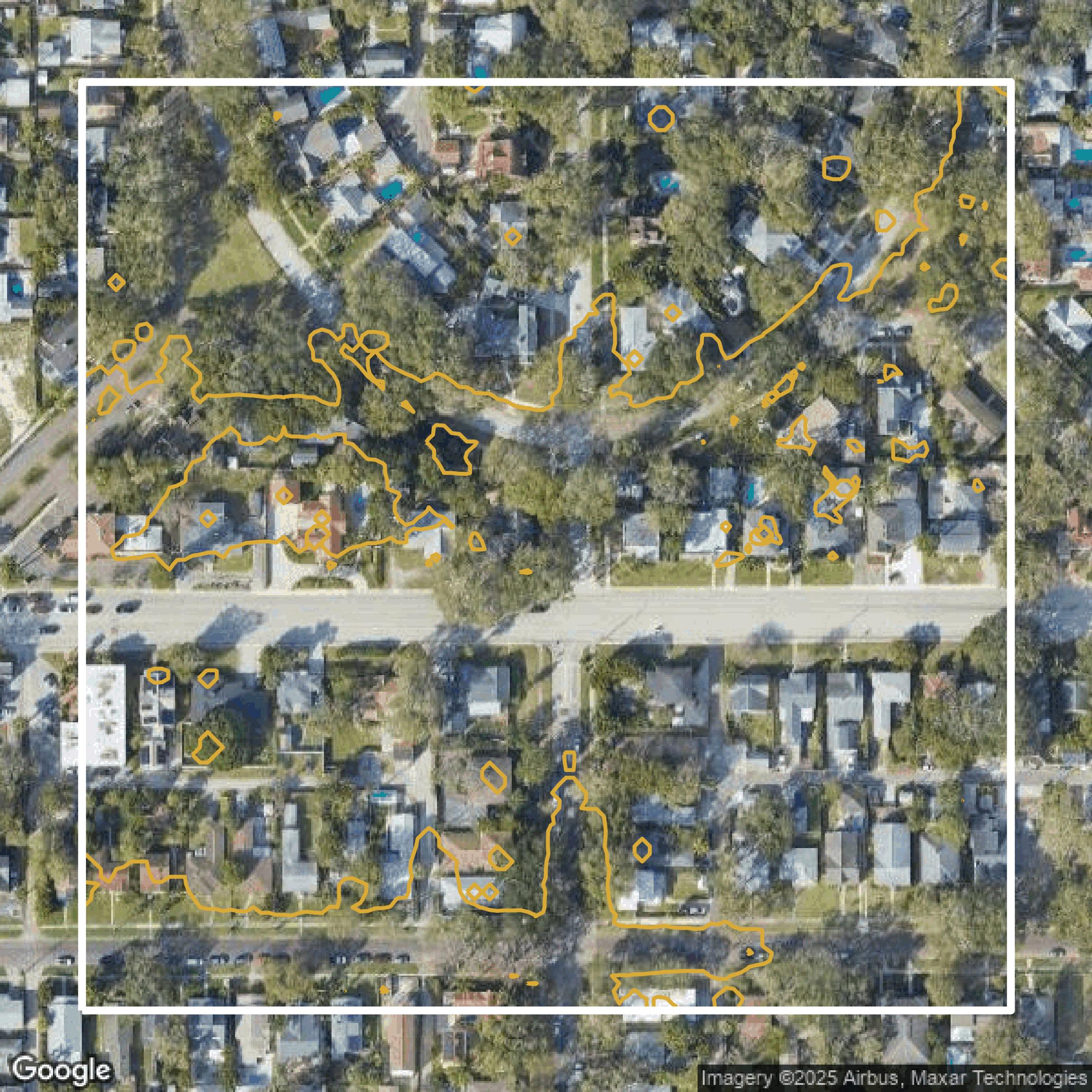
Contours
This image shows a contour map in Pinellas County created using GIS data in Equator.
Get Contours for Pinellas CountyFormats Available
Export Your Data Ready to Use in Multiple Formats
DWG
AutoCAD Drawing - Industry-standard CAD format
Supported Data:
Contour, Parcel, Building Outline
SHP
Shapefile - Standard GIS vector format
Supported Data:
Contour, Parcel, Building Outline
DXF
Drawing Exchange Format - Universal CAD interchange
Supported Data:
Contour, Building Outline
GeoJSON
Geographic JSON - Web-friendly spatial data format
Supported Data:
Contour, Parcel, Building Outline
LAZ
Compressed LAS - Efficient LiDAR point cloud format
Supported Data:
Point Cloud
SVG
Scalable Vector Graphics - Web vector format
Supported Data:
Contour, Building Outline
GPKG (Coming Soon)
GeoPackage - Modern OGC spatial database format
Supported Data:
Contour, Parcel, Building Outline
LandXML (Coming Soon)
Land XML - Civil engineering data exchange format
Supported Data:
Point Cloud
TIN (Coming Soon)
Triangulated Irregular Network - 3D surface model
Supported Data:
Point Cloud
XYZ (Coming Soon)
XYZ Point Cloud - Simple ASCII point cloud format
Supported Data:
Point Cloud
Background
GIS Data for Pinellas County
Pinellas County Enterprise GIS offers a comprehensive suite of user-friendly applications and rich data resources designed to empower citizens with detailed geographic information to better understand their community. Visitors can explore the **Pinellas County Public WebGIS**, featuring all publicly-available layers currently maintained in the county’s Enterprise GIS database, or use the **Pinellas County CrimeViewer** to access crime data reported by the Sheriff’s Office and municipal police departments. For emergency preparedness, the **Know Your Zone** app helps locate evacuation zones, while the **Storm Surge Protector** visualizes potential storm surge levels for properties. Property owners can access tax and assessment details via the **Tax Parcel Viewer**, and those concerned about flooding can utilize the extensive **Flood Map Service Center**, which aggregates data from local, state, and federal sources. Additionally, users can delve into aerial imagery through the **AIRS - Aerial Retrieval System**, featuring current and historic aerial photos, and the **PAIRS - Historic Aerials** tool, offering a downloadable archive of historic imagery. The platform encourages community engagement by making GIS information accessible, transparent, and actionable, fostering collaboration to improve the quality and safety of Pinellas County.
Access Pinellas County GIS Data in Equator →Pinellas County Portal →Showcase
Sample GIS Data for Pinellas County
Parcels and Buildings
Parcel and building data in Pinellas County are used in a variety of fields including architecture, real estate, and urban planning.
Get Parcels and Buildings for Pinellas County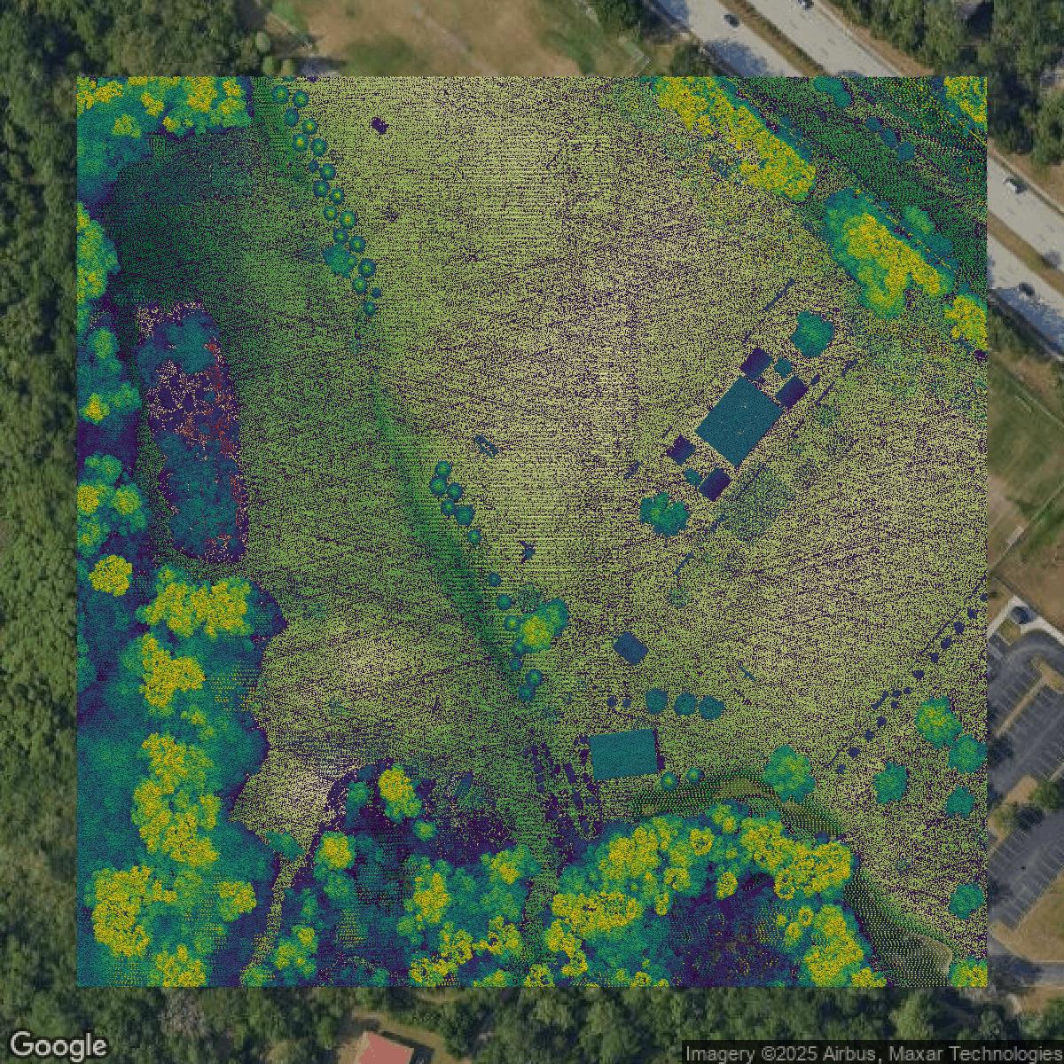
LiDAR
Point clouds (LiDAR) in Pinellas County can produce highly accurate 3D models of terrain, structures, and vegetation.
Get LiDAR for Pinellas County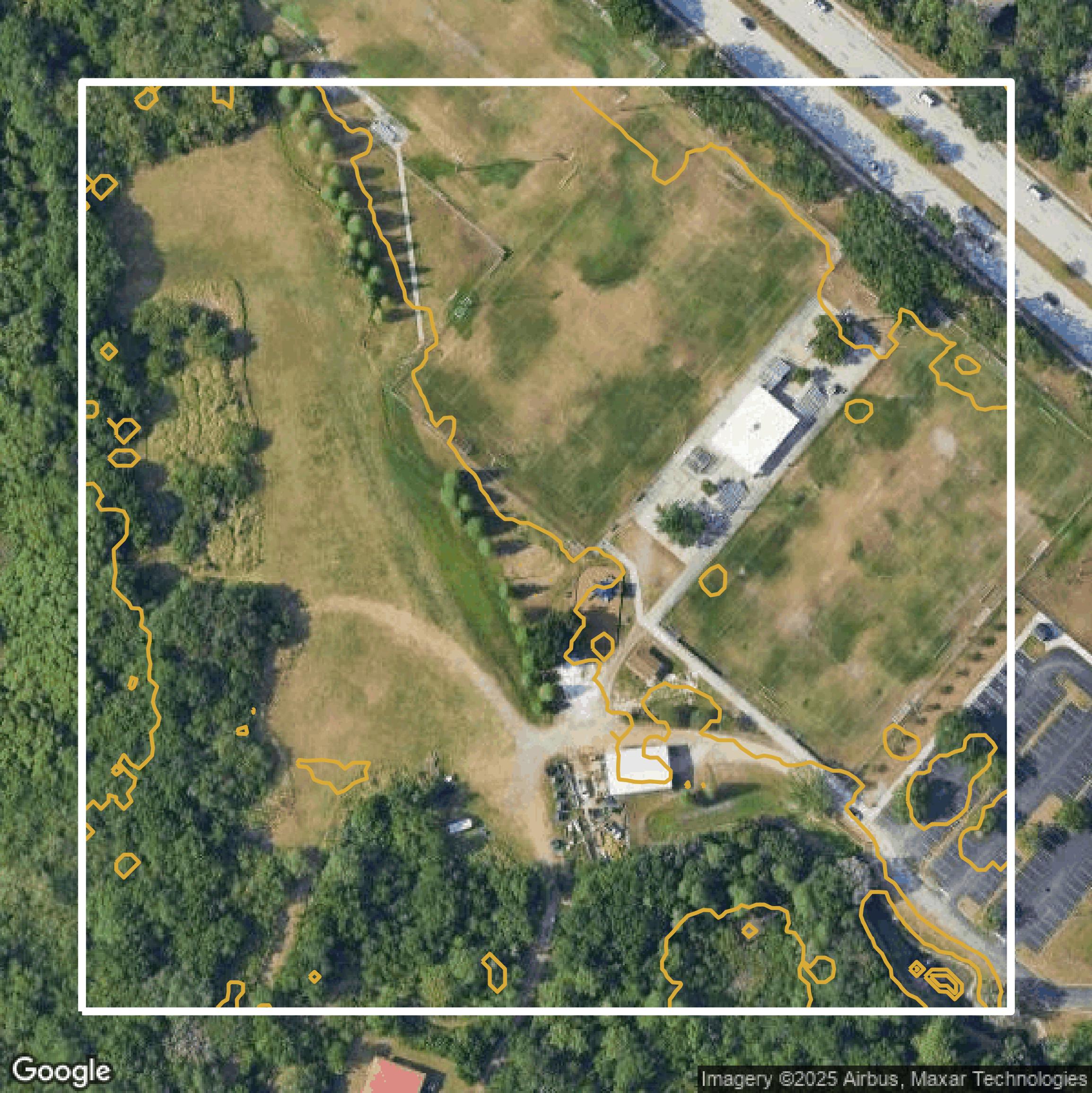
Contours
Contours in Pinellas County visualize 3D elevations on a 2D surface allowing you to better understand your site.
Get Contours for Pinellas County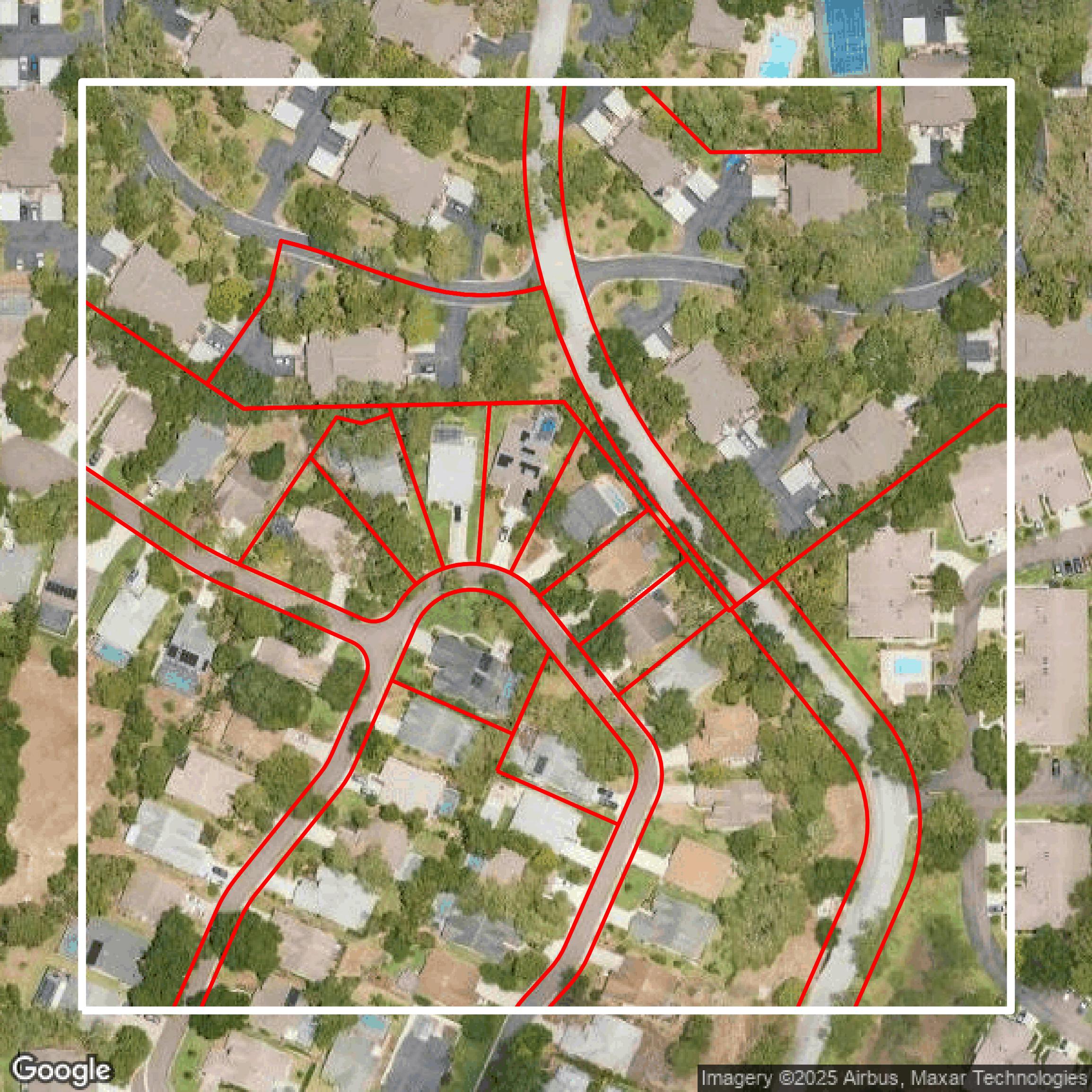
Parcels and Buildings
Accessing Pinellas County parcel and building data on Equator gives you access to coverage across the US.
Get Parcels and Buildings for Pinellas County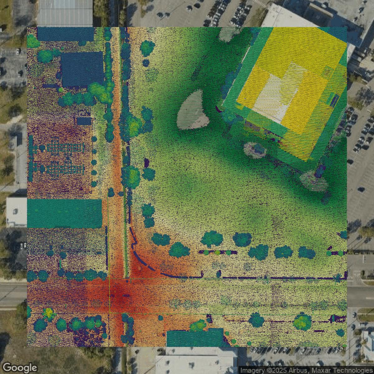
LiDAR
Pinellas County LiDAR uses include land surveying, analyzing crop health, or even archaeological studies.
Get LiDAR for Pinellas County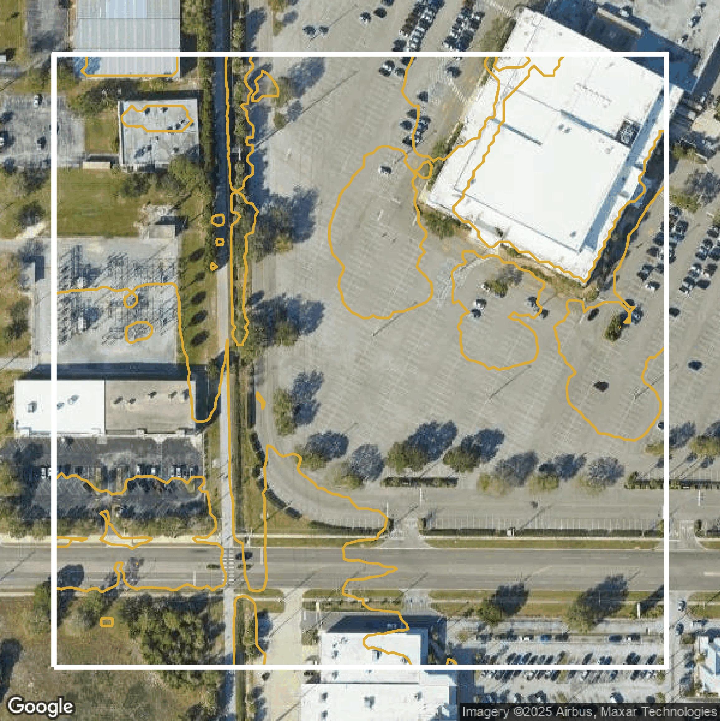
Contours
Pinellas County contours can be used for construction & engineering, environmental science, and more.
Get Contours for Pinellas County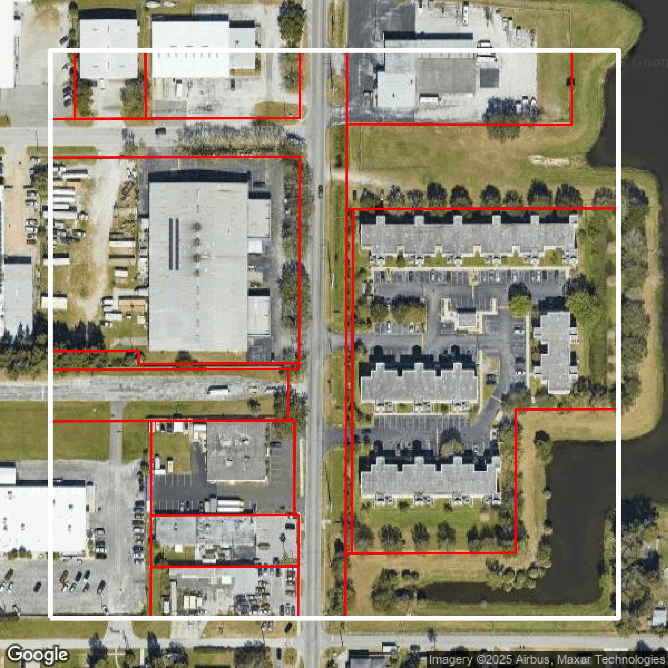
Parcels and Buildings
Dozens of fields are contained within each Pinellas County parcel and building data, including zoning, owners, and year built.
Get Parcels and Buildings for Pinellas CountyLiDAR
Equator turns Pinellas County LiDAR point clouds into various lidar-derived data sets, including DEMs.
Get LiDAR for Pinellas CountyContours
Pinellas County contours on Equator are produced from LiDAR coverage, allowing for high precision
Get Contours for Pinellas County