Overview
Township Of Elizabethtown-Kitley GIS Data – For CAD
Equator helps civil engineering, architecture and consulting firms with the tools to instantly find, process and download accurate LiDAR, contours, parcel data, building footprints, DEMs, point clouds and other GIS data for Township Of Elizabethtown-Kitley in an online web mapping portal.
Township Of Elizabethtown-Kitley GIS Data →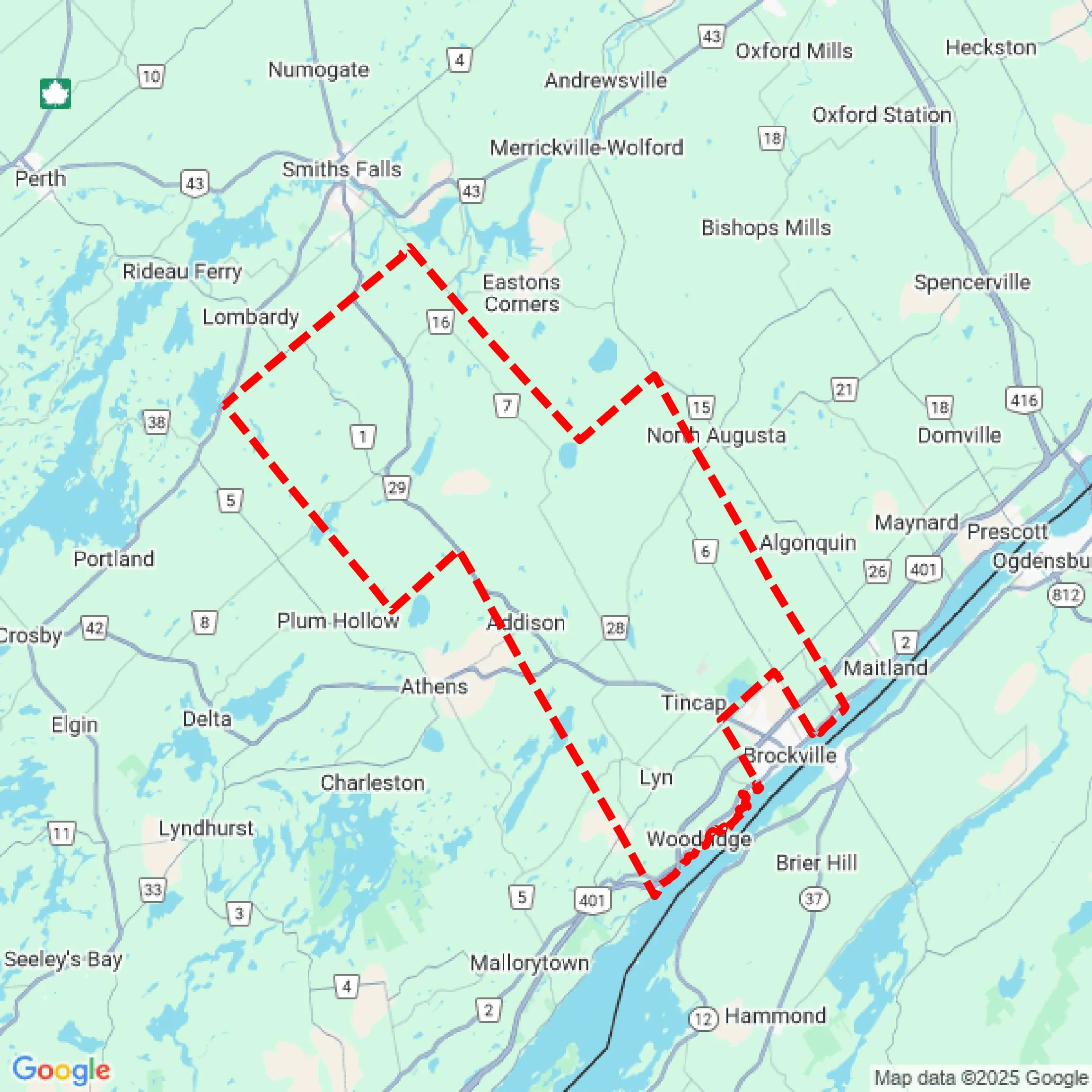

Featured GIS Data Layers
Download GIS Data for Township Of Elizabethtown-Kitley
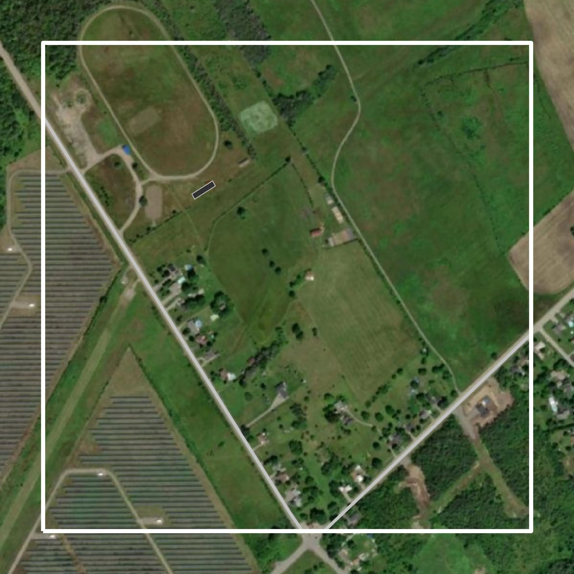
Parcels
This image shows infrastructure and land use patterns in Gwinnett County, supporting urban planning, transportation analysis, and smart city projects.
Get Parcels for Township Of Elizabethtown-Kitley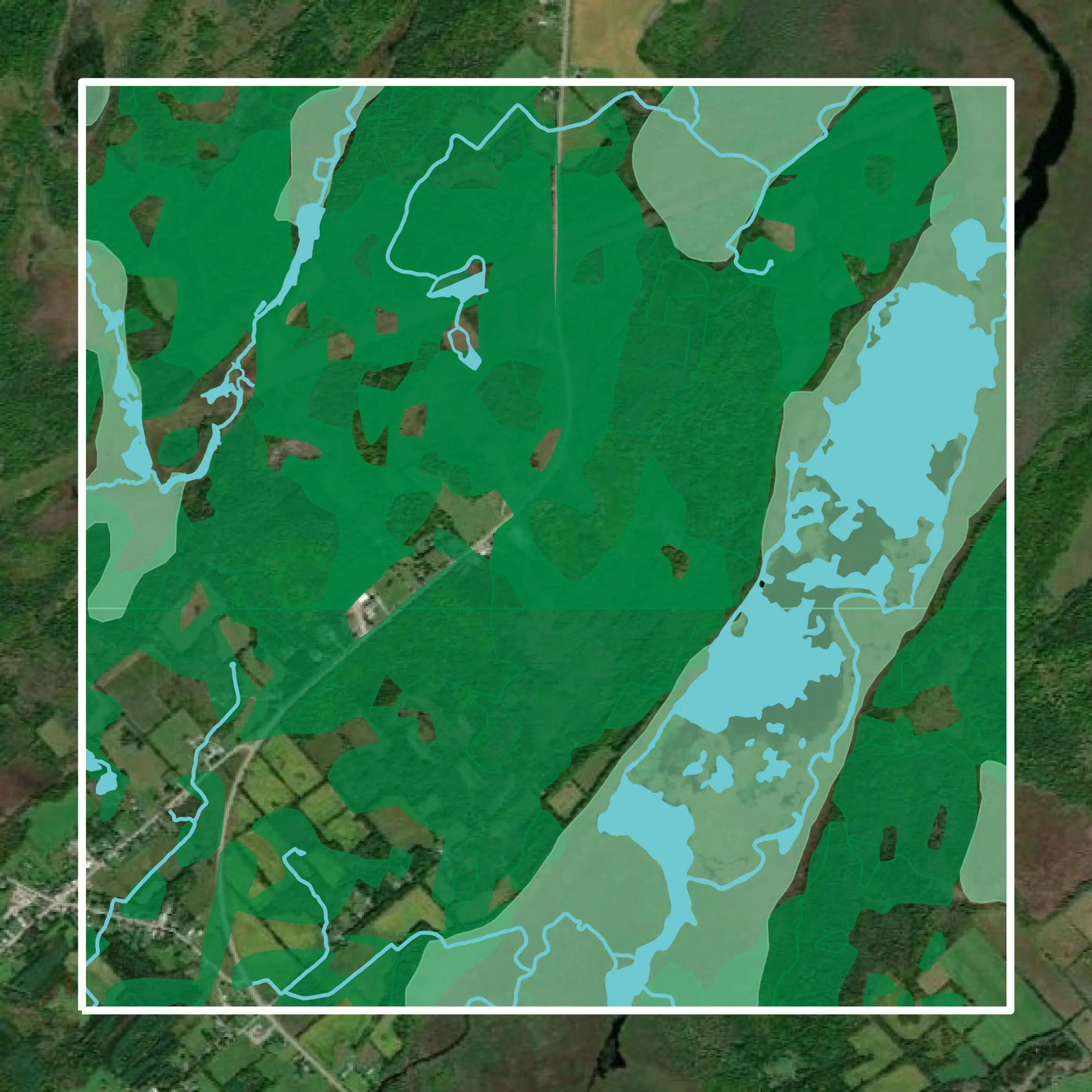
Water Courses
This image shows environmental features in Gwinnett County, aiding ecological management, watershed studies, and green infrastructure planning.
Get Water Courses for Township Of Elizabethtown-Kitley
Parcels
The data informs Traffic Impact Assessments, Urban Growth Studies, and Municipal Infrastructure Plans to optimize connectivity and zoning.
Get Parcels for Township Of Elizabethtown-Kitley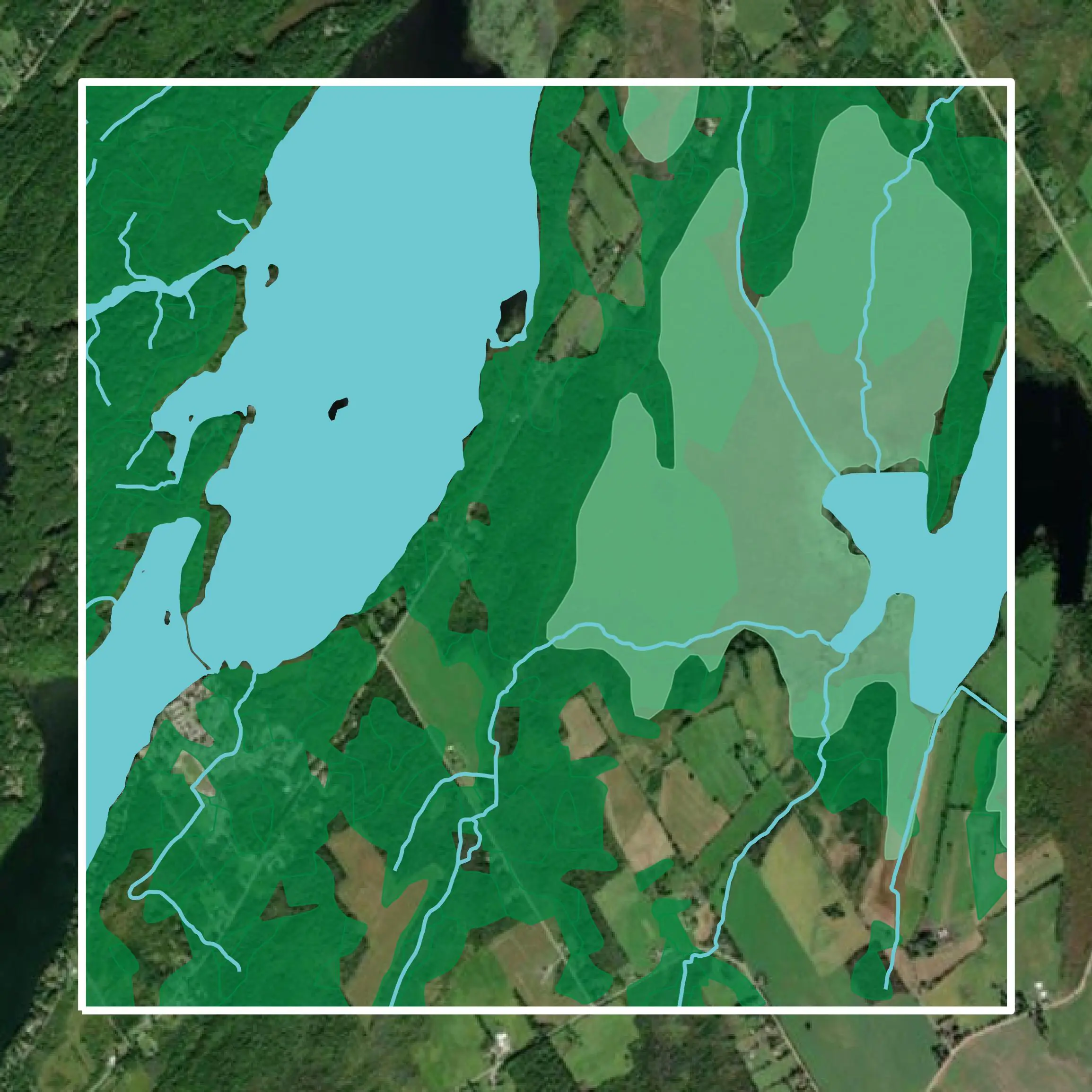
Water Courses
The data supports Environmental Impact Assessments, Flood Risk Analyses, and Biodiversity Monitoring Reports to guide sustainable development.
Get Water Courses for Township Of Elizabethtown-KitleyFormats Available
Export Your Data Ready to Use in Multiple Formats
DWG
AutoCAD Drawing - Industry-standard CAD format
Supported Data:
Contour, Parcel, Building Outline
SHP
Shapefile - Standard GIS vector format
Supported Data:
Contour, Parcel, Building Outline
DXF
Drawing Exchange Format - Universal CAD interchange
Supported Data:
Contour, Building Outline
GeoJSON
Geographic JSON - Web-friendly spatial data format
Supported Data:
Contour, Parcel, Building Outline
LAZ
Compressed LAS - Efficient LiDAR point cloud format
Supported Data:
Point Cloud
SVG
Scalable Vector Graphics - Web vector format
Supported Data:
Contour, Building Outline
GPKG
GeoPackage - Modern OGC spatial database format
Supported Data:
Contour, Parcel, Building Outline
LandXML (Coming Soon)
Land XML - Civil engineering data exchange format
Supported Data:
Point Cloud
TIN (Coming Soon)
Triangulated Irregular Network - 3D surface model
Supported Data:
Point Cloud
XYZ (Coming Soon)
XYZ Point Cloud - Simple ASCII point cloud format
Supported Data:
Point Cloud