Overview
Kauai County GIS Data - For CAD
Equator helps civil engineering, architecture and consulting firms with the tools to instantly find, process and download accurate LiDAR, contours, parcel data, building footprints, DEMs, point clouds and other GIS data for Kauai County in an online web mapping portal.
Kauai County GIS Data ->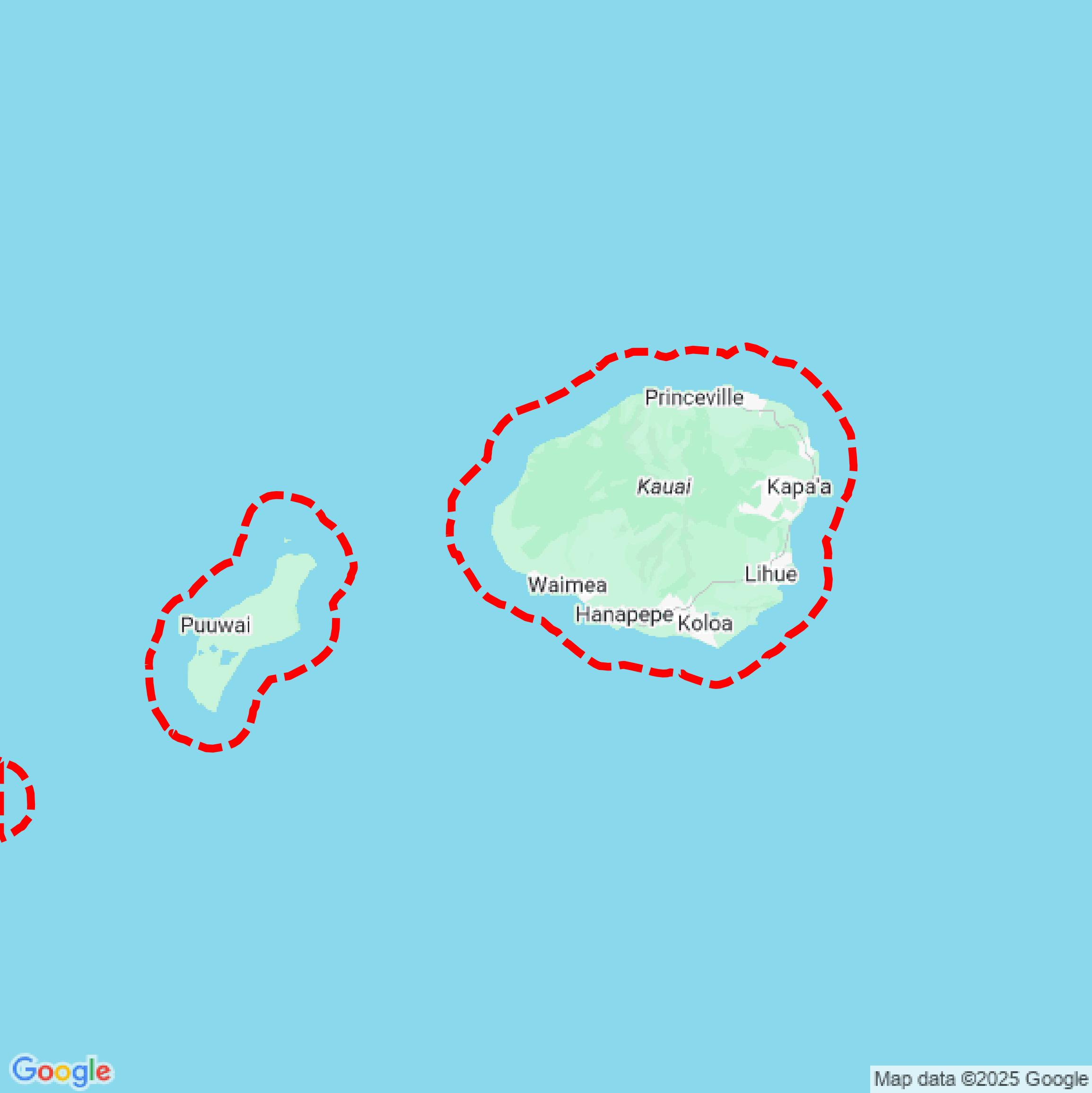

Data Available
Download GIS Data for Kauai County

Parcels and Buildings
This image shows parcel and building data in Kauai County created using GIS data in Equator.
Formats Available
Export Your Data Ready to Use in Multiple Formats
DWG
AutoCAD Drawing - Industry-standard CAD format
Supported Data:
Contour, Parcel, Building Outline
SHP
Shapefile - Standard GIS vector format
Supported Data:
Contour, Parcel, Building Outline
DXF
Drawing Exchange Format - Universal CAD interchange
Supported Data:
Contour, Building Outline
GeoJSON
Geographic JSON - Web-friendly spatial data format
Supported Data:
Contour, Parcel, Building Outline
LAZ
Compressed LAS - Efficient LiDAR point cloud format
Supported Data:
Point Cloud
SVG
Scalable Vector Graphics - Web vector format
Supported Data:
Contour, Building Outline
GPKG
GeoPackage - Modern OGC spatial database format
Supported Data:
Contour, Parcel, Building Outline
LandXML (Coming Soon)
Land XML - Civil engineering data exchange format
Supported Data:
Point Cloud
TIN (Coming Soon)
Triangulated Irregular Network - 3D surface model
Supported Data:
Point Cloud
XYZ (Coming Soon)
XYZ Point Cloud - Simple ASCII point cloud format
Supported Data:
Point Cloud
Background
GIS Data for Kauai County
The Kauai County Open Data Hub provides a comprehensive collection of GIS datasets, maps, and spatial data resources relevant to Kauai County, Hawaii. The portal includes various types of content such as parcel data, zoning information, aerial imagery, and public works project maps, including road resurfacing and bridge status. Users can explore interactive maps related to community interests, such as flood hazard assessments, water quality advisories, and native Hawaiian land information. The site aims to enhance public understanding and accessibility of geospatial data while encouraging community contributions to its dataset offerings.
Access Kauai County GIS Data in Equator →Kauai County Portal →Showcase
Sample GIS Data for Kauai County

Parcels and Buildings
Parcel and building data in Kauai County are used in a variety of fields including architecture, real estate, and urban planning.