Overview
Marion County GIS Data – For CAD
Equator helps civil engineering, architecture and consulting firms with the tools to instantly find, process and download accurate LiDAR, contours, parcel data, building footprints, DEMs, point clouds and other GIS data for Marion County in an online web mapping portal.
Marion County GIS Data →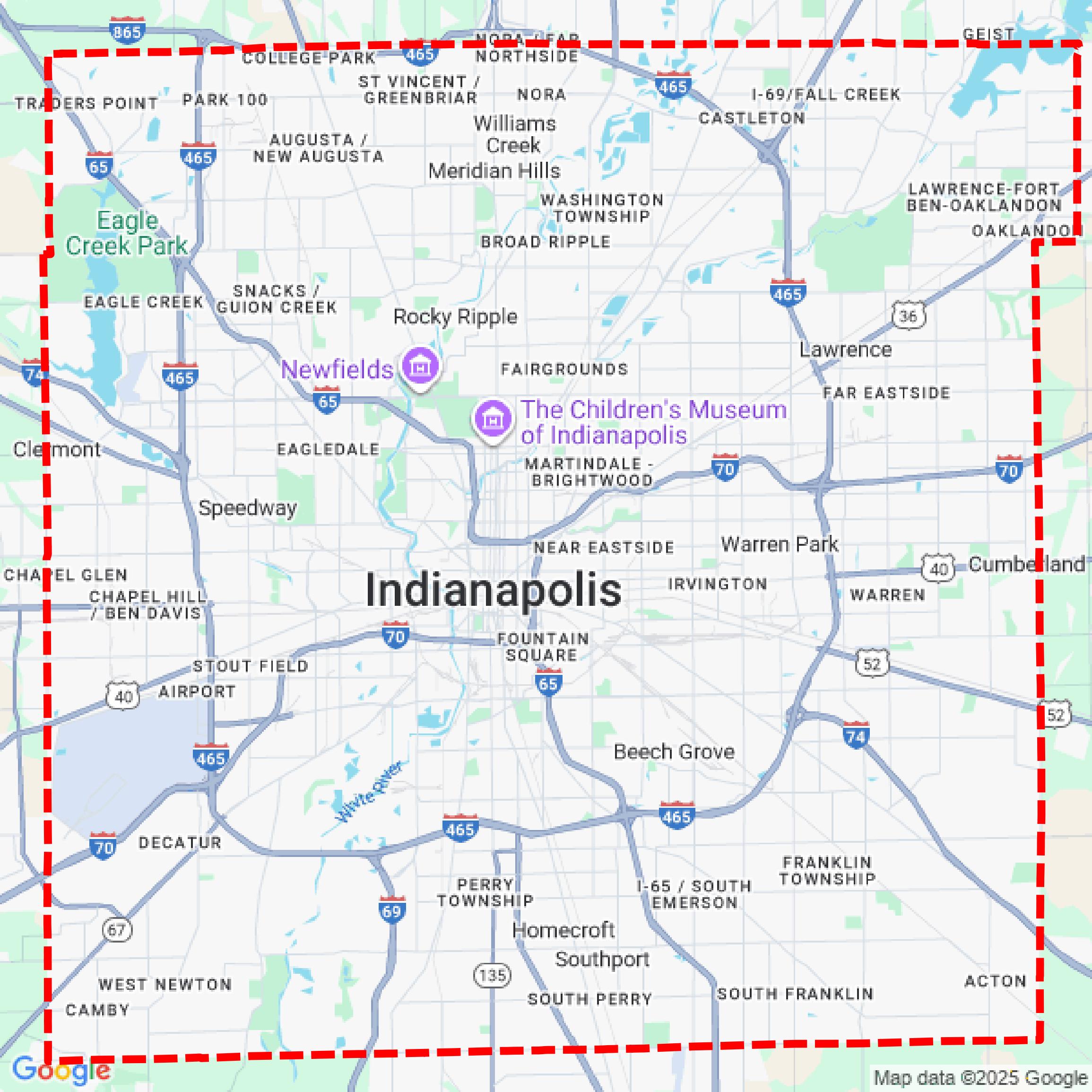

Data Available
Download GIS Data for Marion County
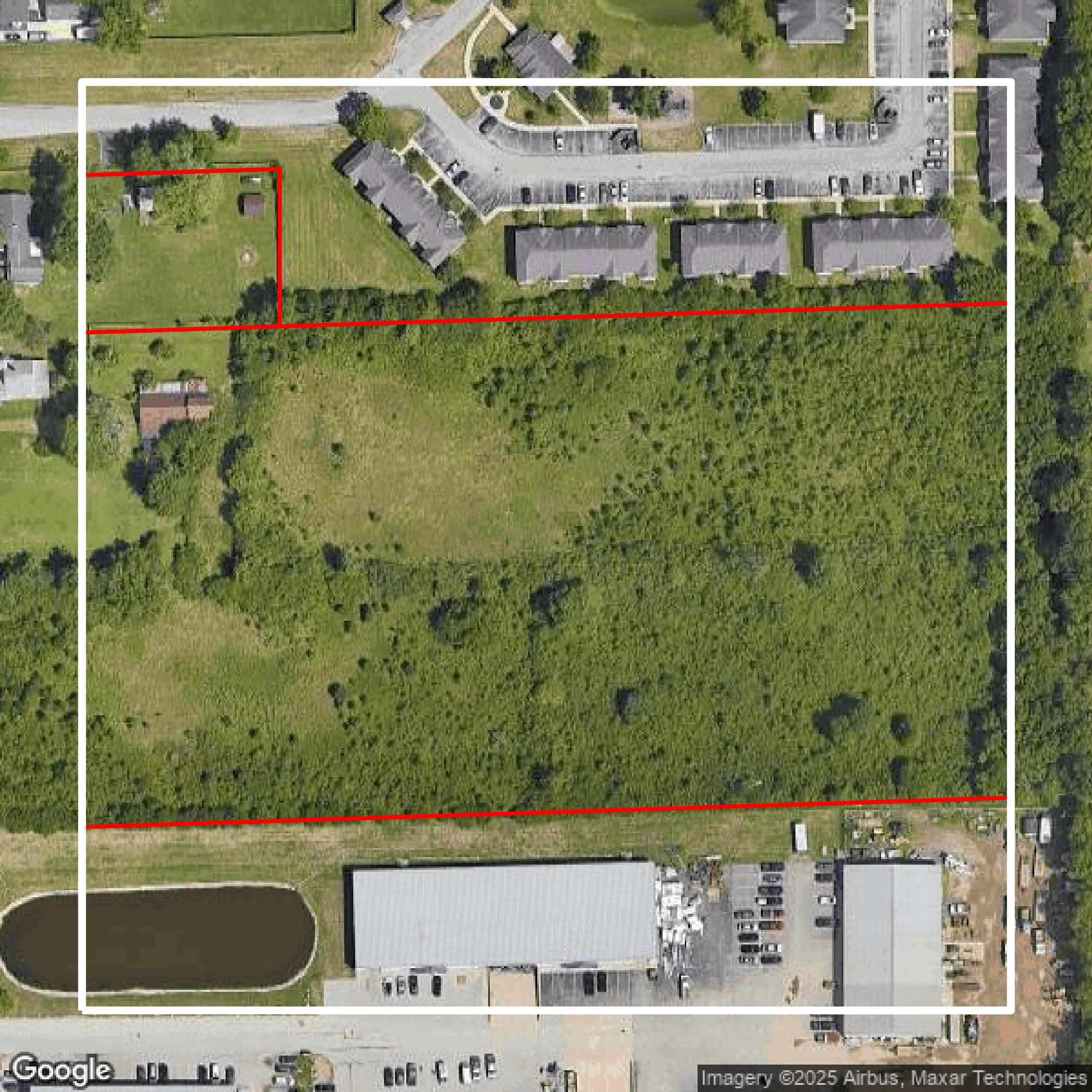
Parcels and Buildings
This image shows parcel and building data in Marion County created using GIS data in Equator.
Get Parcels and Buildings for Marion County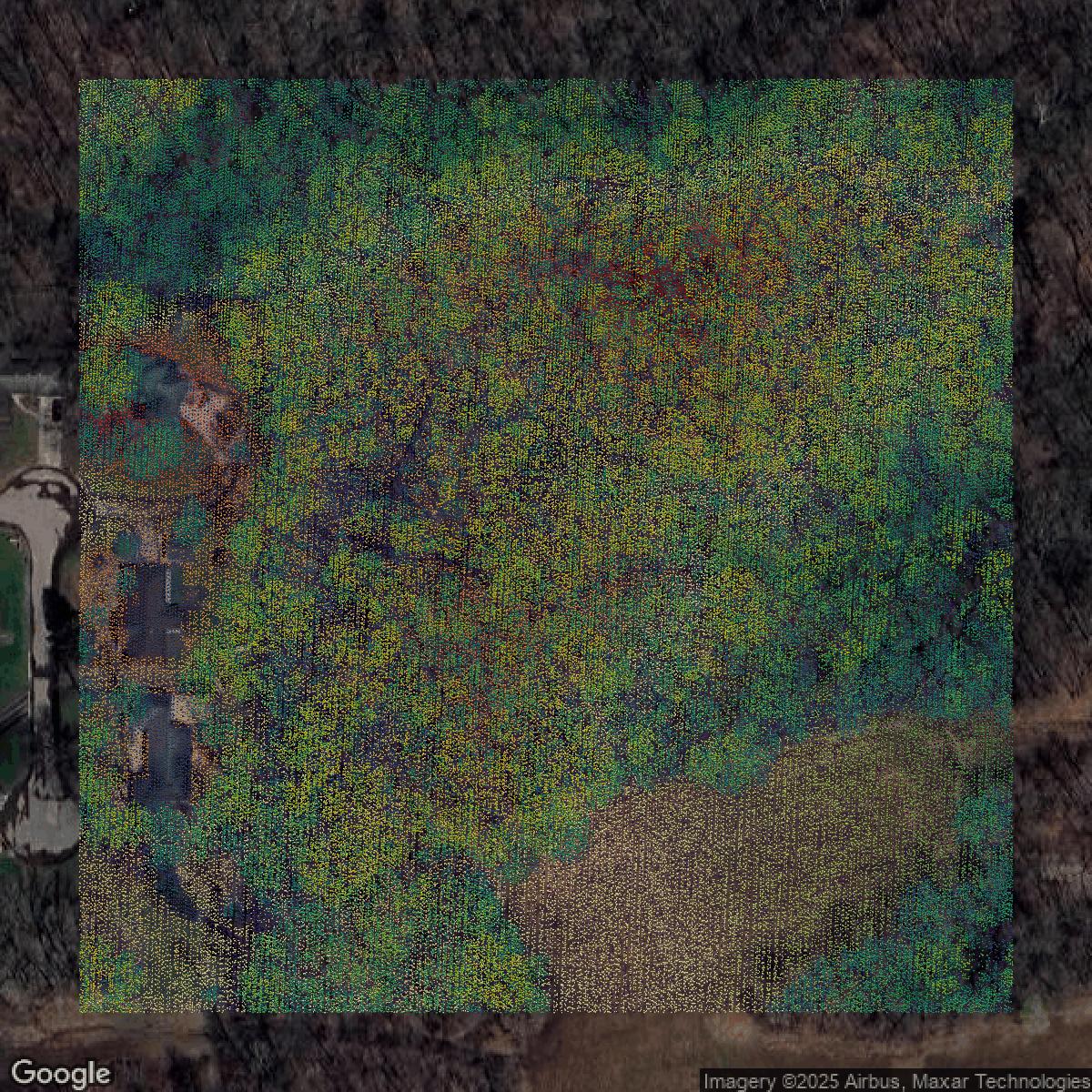
LiDAR
This image shows a LiDAR point cloud in Marion County created using GIS data in Equator.
Get LiDAR for Marion County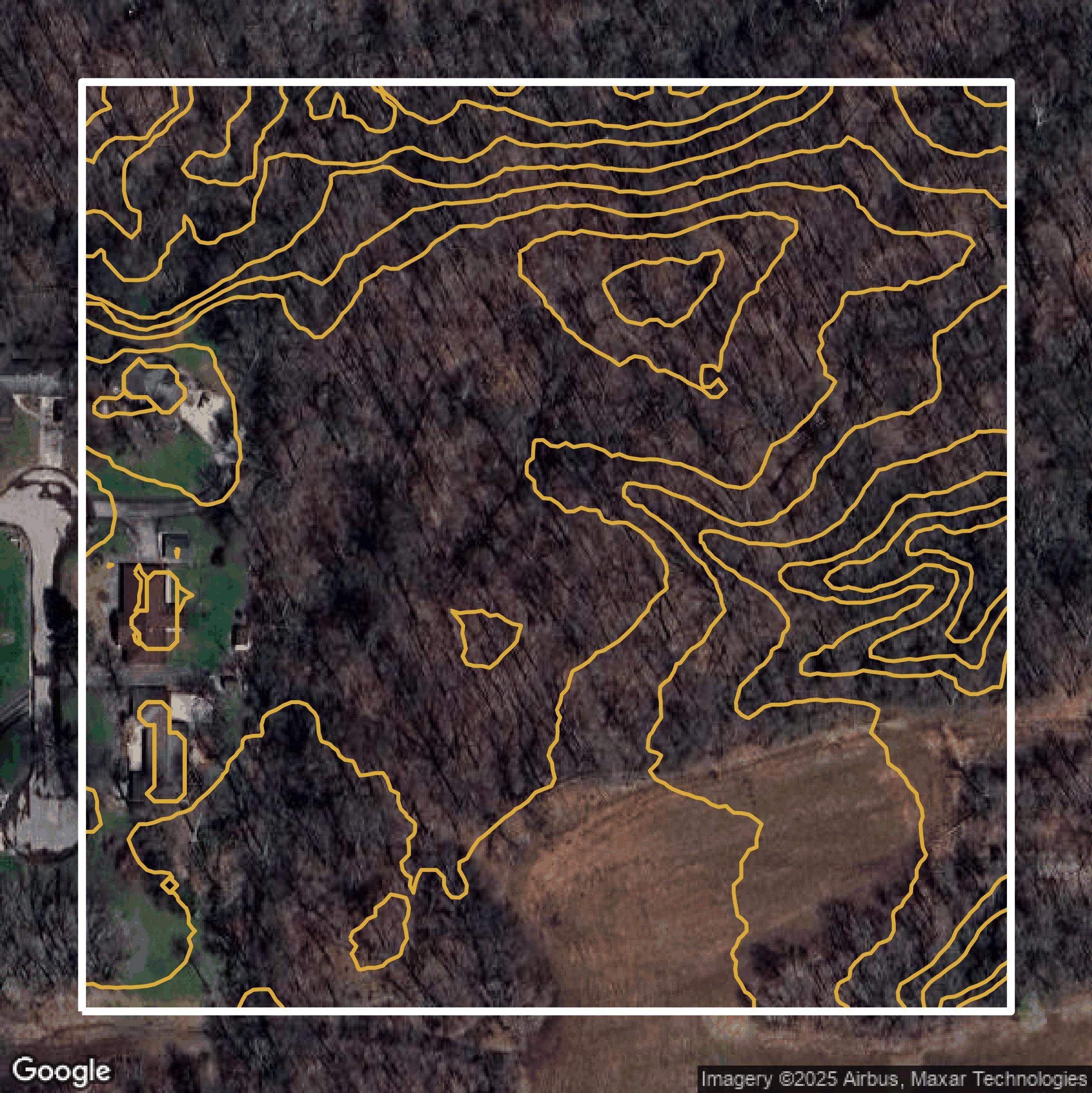
Contours
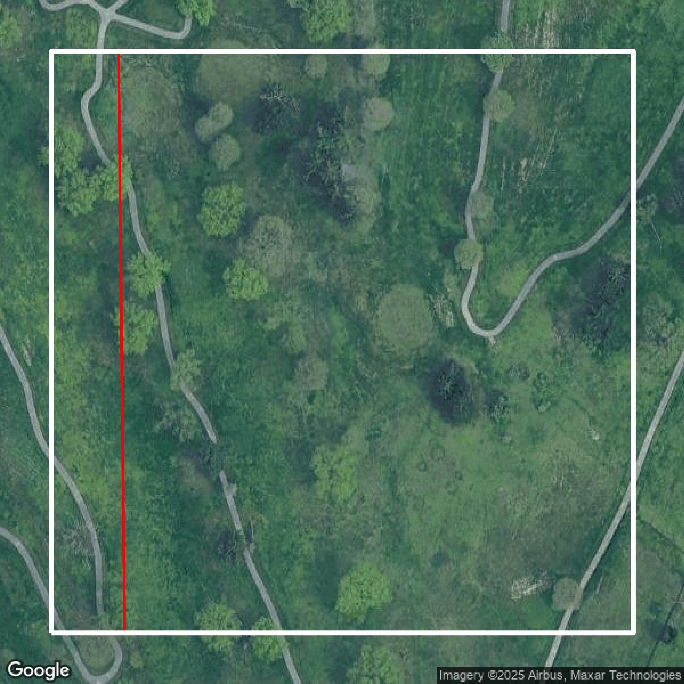
This image shows a contour map in Marion County created using GIS data in Equator.
Get Contours for Marion CountyFormats Available
Export Your Data Ready to Use in Multiple Formats
DWG
AutoCAD Drawing - Industry-standard CAD format
Supported Data:
Contour, Parcel, Building Outline
SHP
Shapefile - Standard GIS vector format
Supported Data:
Contour, Parcel, Building Outline
DXF
Drawing Exchange Format - Universal CAD interchange
Supported Data:
Contour, Building Outline
GeoJSON
Geographic JSON - Web-friendly spatial data format
Supported Data:
Contour, Parcel, Building Outline
LAZ
Compressed LAS - Efficient LiDAR point cloud format
Supported Data:
Point Cloud
SVG
Scalable Vector Graphics - Web vector format
Supported Data:
Contour, Building Outline
GPKG (Coming Soon)
GeoPackage - Modern OGC spatial database format
Supported Data:
Contour, Parcel, Building Outline
LandXML (Coming Soon)
Land XML - Civil engineering data exchange format
Supported Data:
Point Cloud
TIN (Coming Soon)
Triangulated Irregular Network - 3D surface model
Supported Data:
Point Cloud
XYZ (Coming Soon)
XYZ Point Cloud - Simple ASCII point cloud format
Supported Data:
Point Cloud
Background
GIS Data for Marion County
The IndyGIS Applications website (https://maps.indy.gov/) offers a comprehensive suite of GIS mapping tools and data sets designed to enhance public access to geographic and civic information for Indianapolis and Marion County. Visitors can explore the interactive **MapIndy** general online mapping application, request and track municipal services via **RequestIndy**, and view detailed property information through **Property Report Cards**. For zoning inquiries, the **Indy Zoning Browser** provides property-specific zoning data, while the **Stormwater Impervious Areas** tool reveals stormwater billing and surface imperviousness. Public safety is supported by the **Mapping Application for Public Safety (MAPS)** offering law enforcement incident reports, and residents can track snow removal in real time with the **Indy Snow Force Viewer**. Neighborhood insights are available through **My Neighborhood**, and community engagement is promoted through the **Registered Organizations** search and registration tool. Survey control points can be found using the **Indy Surveyor Viewer**, and property opportunities such as tax sales and surplus real estate are accessible via the **Tax Sale Viewer** and **Surplus Properties Viewer** respectively. Additional resources include voting information through the **Voting Information Portal**, comprehensive city and county planning data on **PlanIndy**, locating small claims courts and fire stations with the **Small Claims Court Finder** and **IFD Battalions Stations**, and viewing historical election results through the **Election Results** application. For developers and data enthusiasts, the site connects to the **Open Data Portal** for raw data downloads. This extensive collection of tools and data sets makes IndyGIS Applications an essential gateway for residents, businesses, and government stakeholders seeking detailed spatial and civic data.
Access Marion County GIS Data in Equator →Marion County Portal →Showcase
Sample GIS Data for Marion County
Parcels and Buildings
Parcel and building data in Marion County are used in a variety of fields including architecture, real estate, and urban planning.
Get Parcels and Buildings for Marion County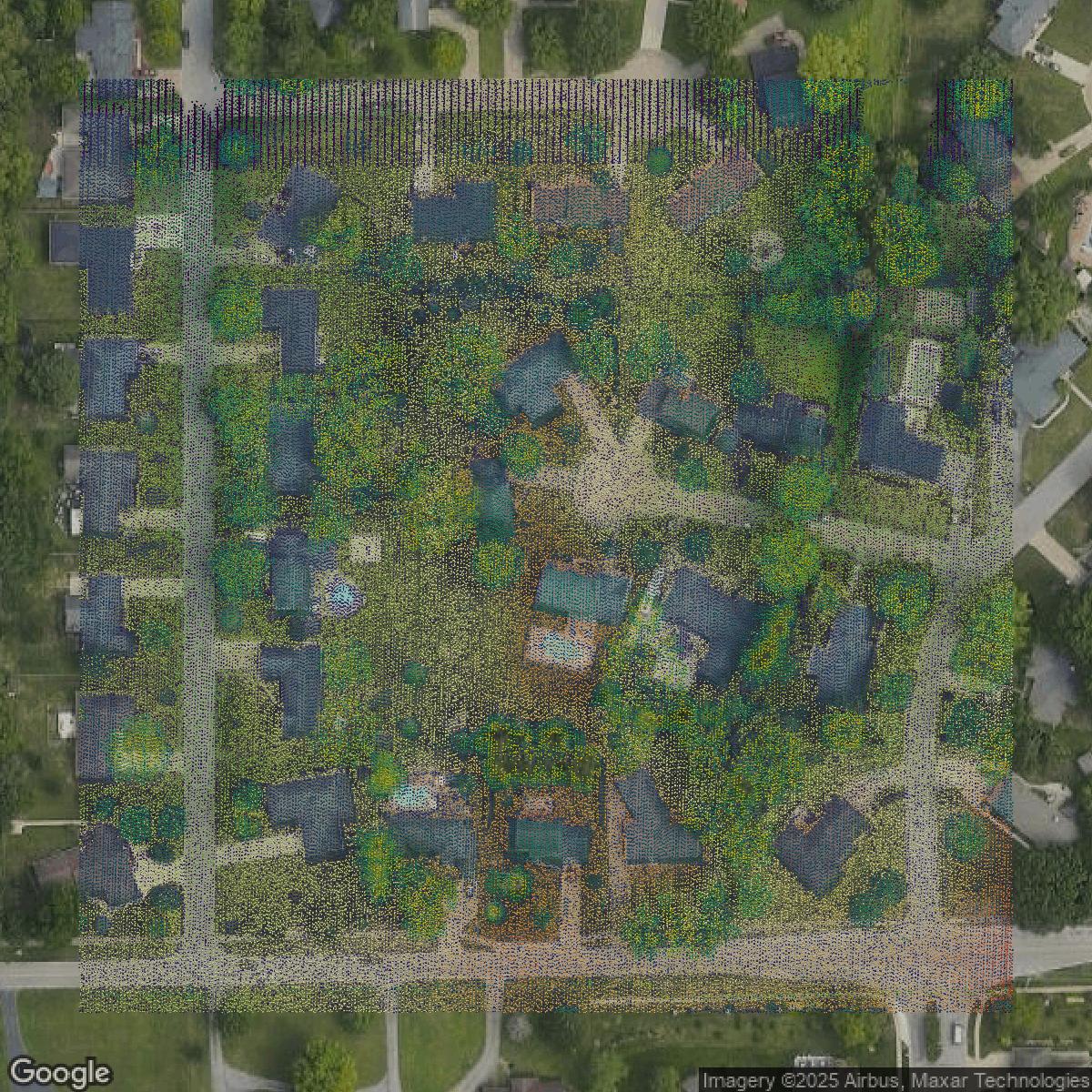
LiDAR
Point clouds (LiDAR) in Marion County can produce highly accurate 3D models of terrain, structures, and vegetation.
Get LiDAR for Marion County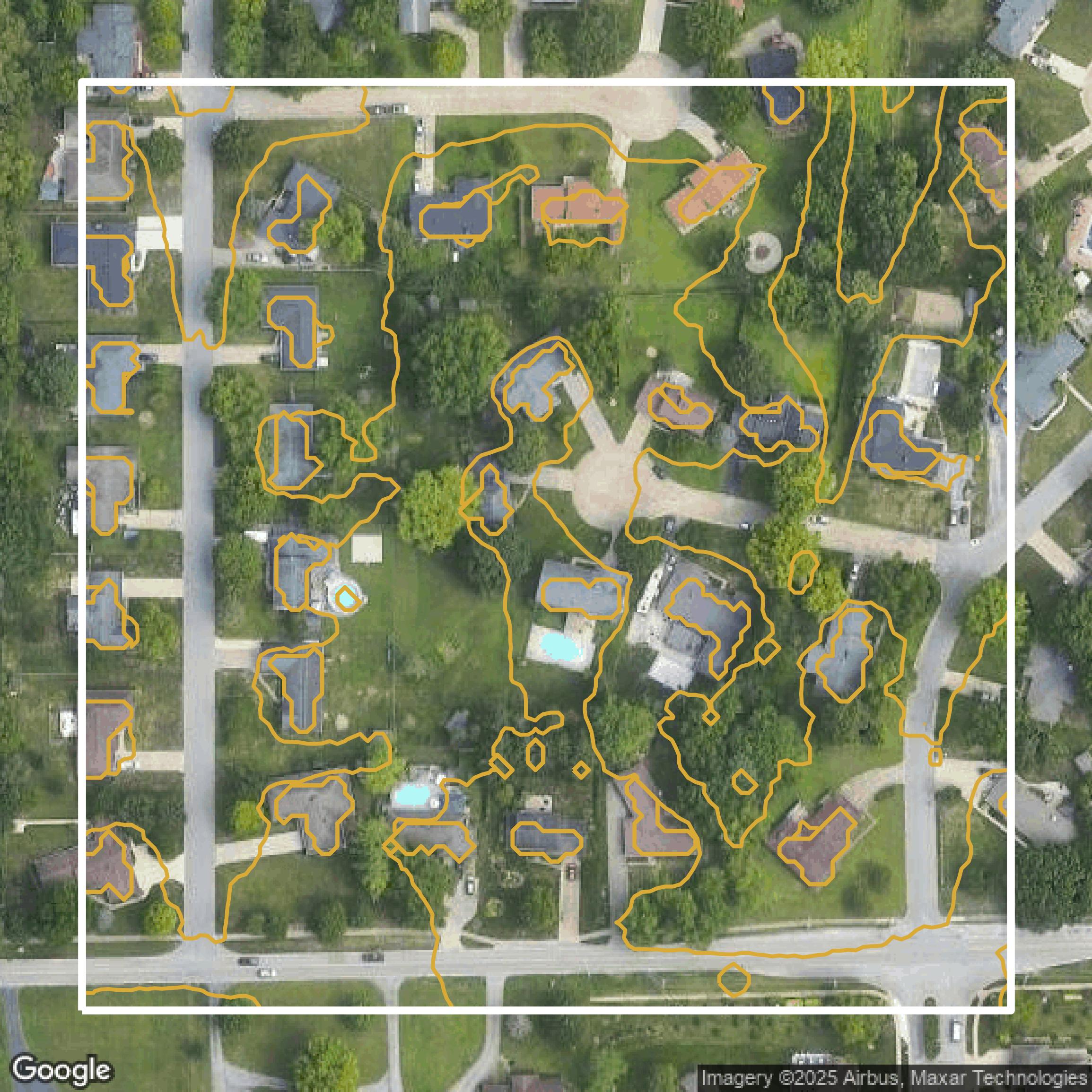
Contours
Contours in Marion County visualize 3D elevations on a 2D surface allowing you to better understand your site.
Get Contours for Marion County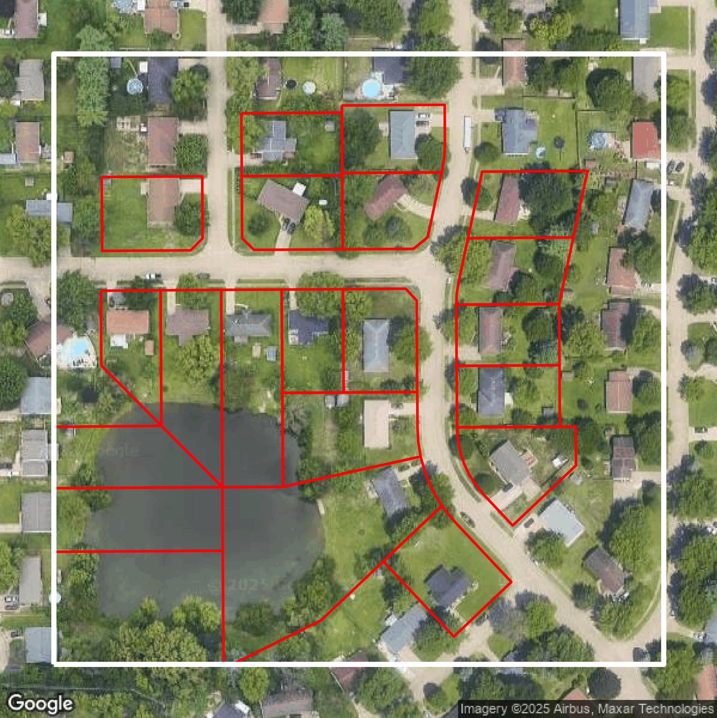
Parcels and Buildings
Accessing Marion County parcel and building data on Equator gives you access to coverage across the US.
Get Parcels and Buildings for Marion County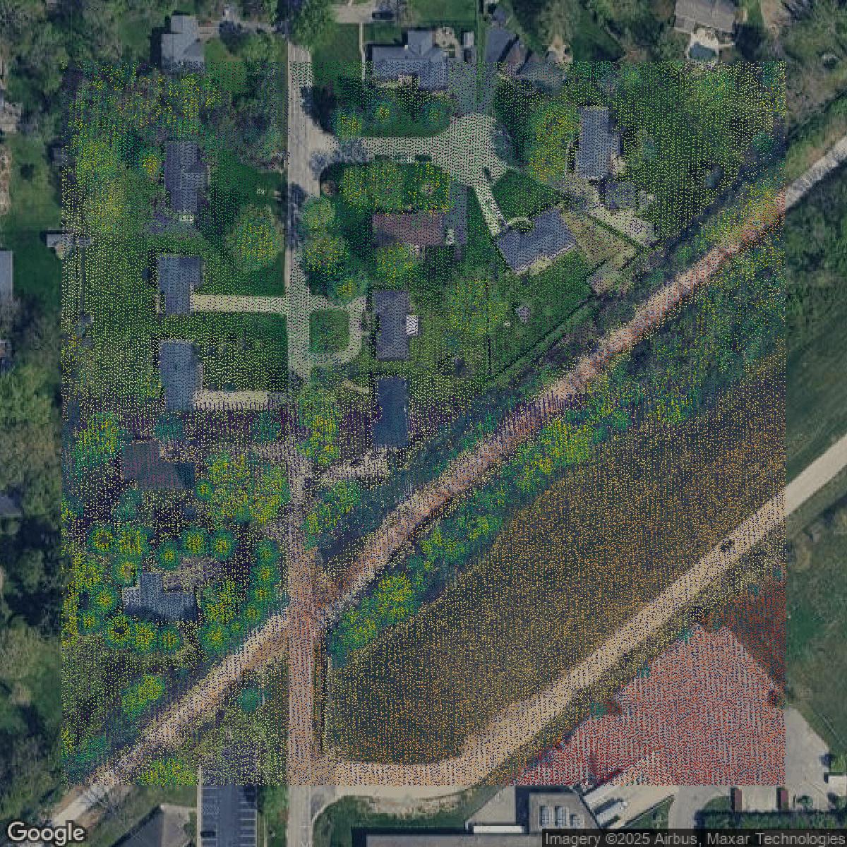
LiDAR
Marion County LiDAR uses include land surveying, analyzing crop health, or even archaeological studies.
Get LiDAR for Marion County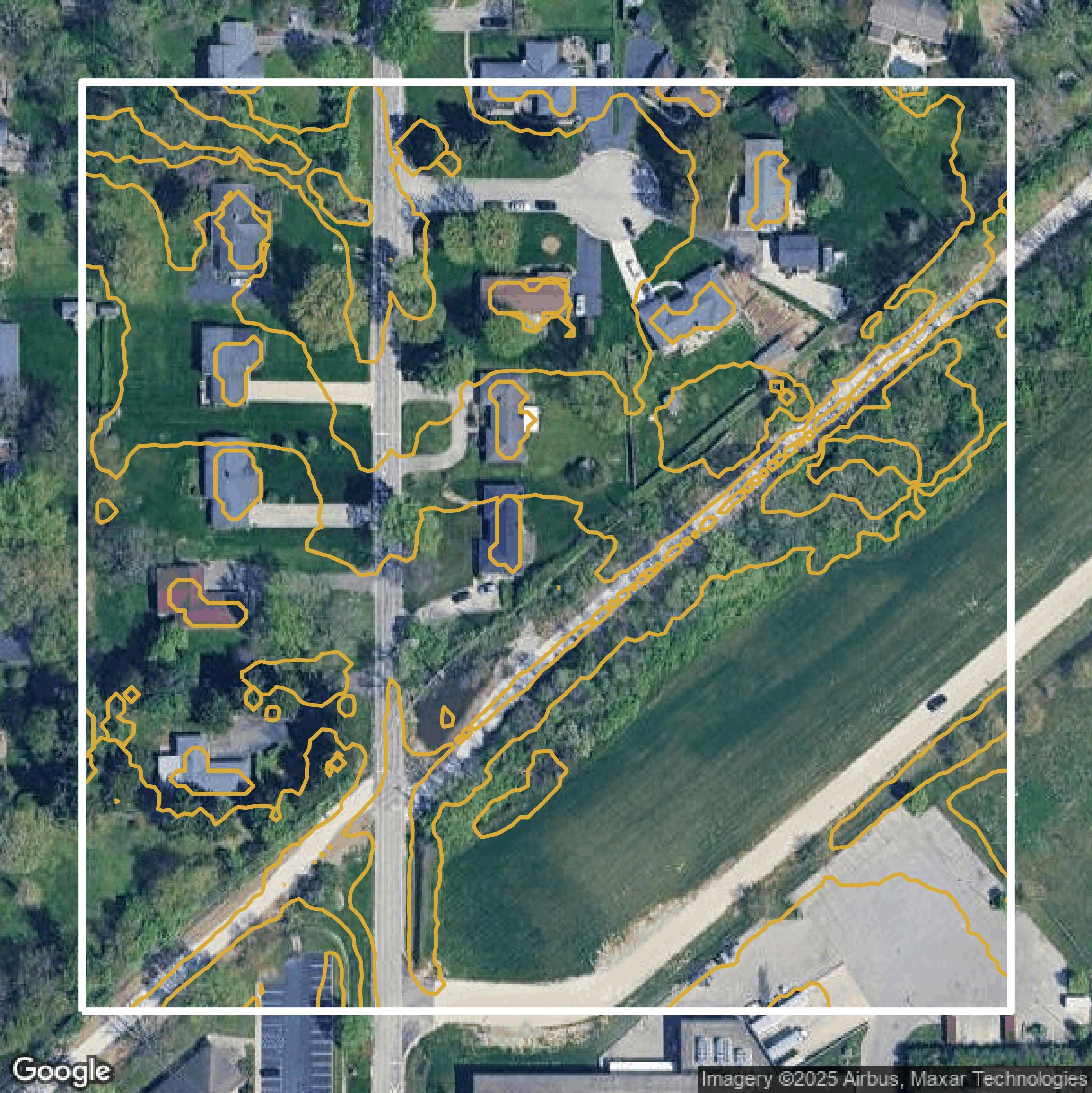
Contours
Marion County contours can be used for construction & engineering, environmental science, and more.
Get Contours for Marion County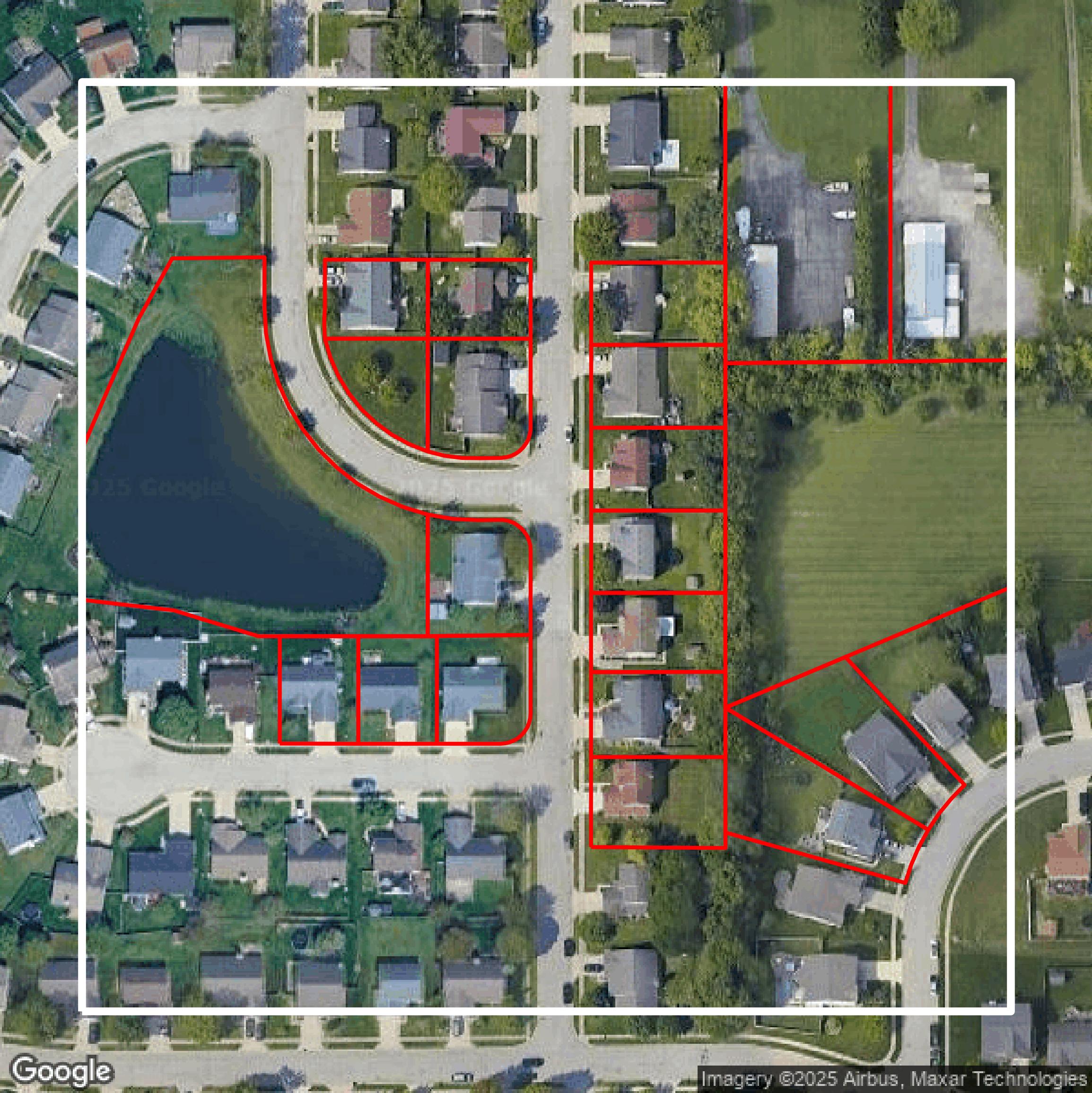
Parcels and Buildings
Dozens of fields are contained within each Marion County parcel and building data, including zoning, owners, and year built.
Get Parcels and Buildings for Marion County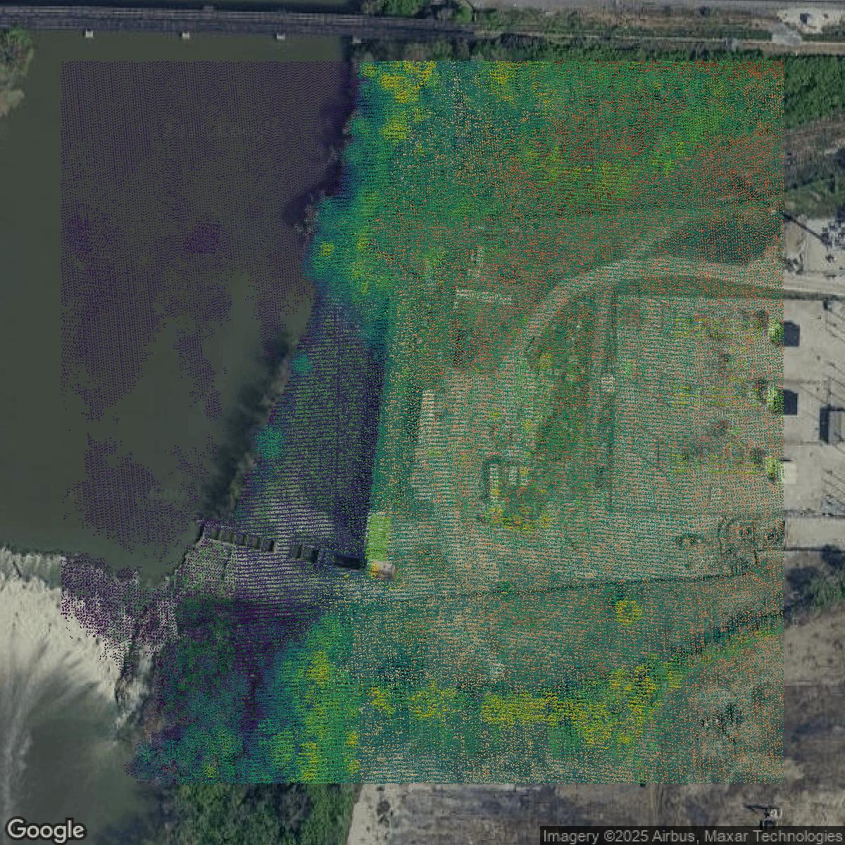
LiDAR
Equator turns Marion County LiDAR point clouds into various lidar-derived data sets, including DEMs.
Get LiDAR for Marion County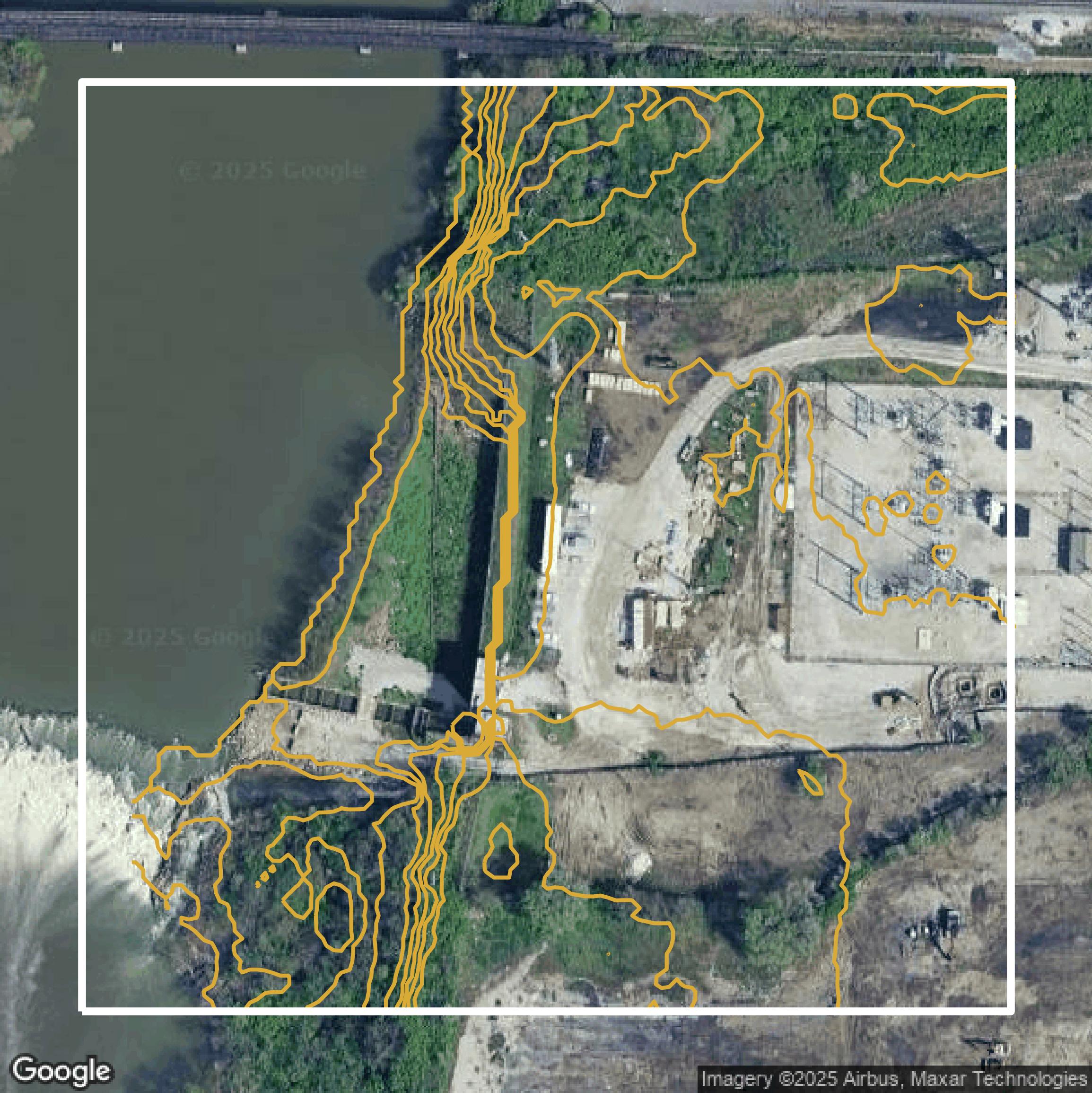
Contours
Marion County contours on Equator are produced from LiDAR coverage, allowing for high precision
Get Contours for Marion County