Overview
Calloway County GIS Data – For CAD
Equator helps civil engineering, architecture and consulting firms with the tools to instantly find, process and download accurate LiDAR, contours, parcel data, building footprints, DEMs, point clouds and other GIS data for Calloway County in an online web mapping portal.
Calloway County GIS Data →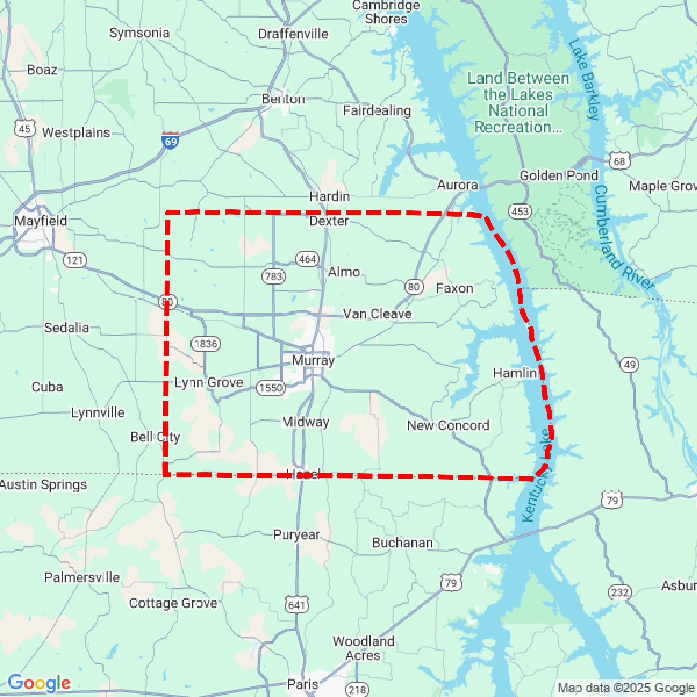

Data Available
Download GIS Data for Calloway County
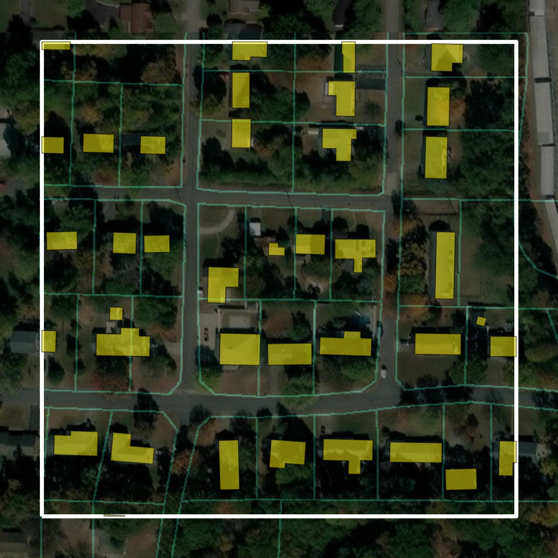
Parcels and Buildings
This image shows parcel and building data in Calloway County created using GIS data in Equator.
Get Parcels and Buildings for Calloway County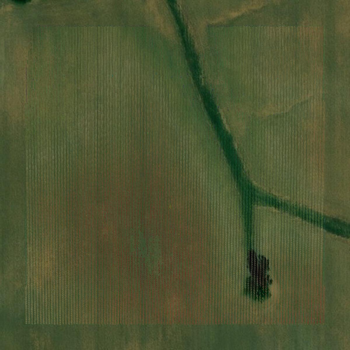
LiDAR
This image shows a LiDAR point cloud in Calloway County created using GIS data in Equator.
Get LiDAR for Calloway County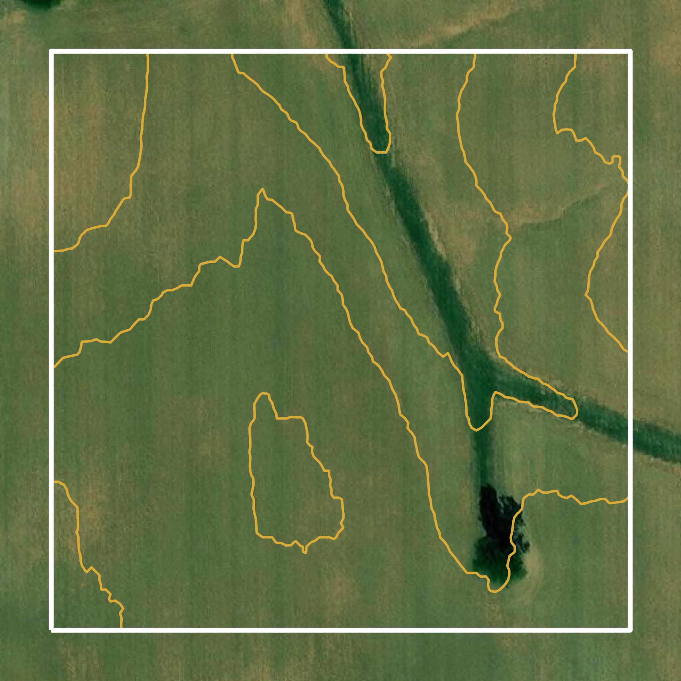
Contours
This image shows a contour map in Calloway County created using GIS data in Equator.
Get Contours for Calloway CountyFormats Available
Export Your Data Ready to Use in Multiple Formats
DWG
AutoCAD Drawing - Industry-standard CAD format
Supported Data:
Contour, Parcel, Building Outline
SHP
Shapefile - Standard GIS vector format
Supported Data:
Contour, Parcel, Building Outline
DXF
Drawing Exchange Format - Universal CAD interchange
Supported Data:
Contour, Building Outline
GeoJSON
Geographic JSON - Web-friendly spatial data format
Supported Data:
Contour, Parcel, Building Outline
LAZ
Compressed LAS - Efficient LiDAR point cloud format
Supported Data:
Point Cloud
SVG
Scalable Vector Graphics - Web vector format
Supported Data:
Contour, Building Outline
GPKG (Coming Soon)
GeoPackage - Modern OGC spatial database format
Supported Data:
Contour, Parcel, Building Outline
LandXML (Coming Soon)
Land XML - Civil engineering data exchange format
Supported Data:
Point Cloud
TIN (Coming Soon)
Triangulated Irregular Network - 3D surface model
Supported Data:
Point Cloud
XYZ (Coming Soon)
XYZ Point Cloud - Simple ASCII point cloud format
Supported Data:
Point Cloud
Background
GIS Data for Calloway County
The official website for Calloway County, Kentucky, provides access to various Geographic Information System (GIS) datasets and spatial data resources. Available content includes parcel data, zoning information, and aerial imagery, which support land use planning and property management. The site serves as a resource for residents and stakeholders seeking detailed geographic and administrative information about the county.
Access Calloway County GIS Data in Equator →Calloway County Portal →Showcase
Sample GIS Data for Calloway County
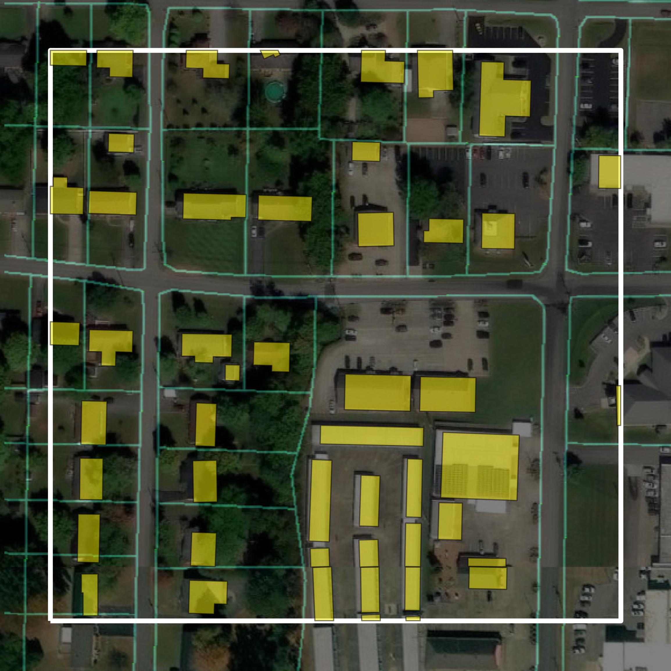
Parcels and Buildings
Parcel and building data in Calloway County are used in a variety of fields including architecture, real estate, and urban planning.
Get Parcels and Buildings for Calloway County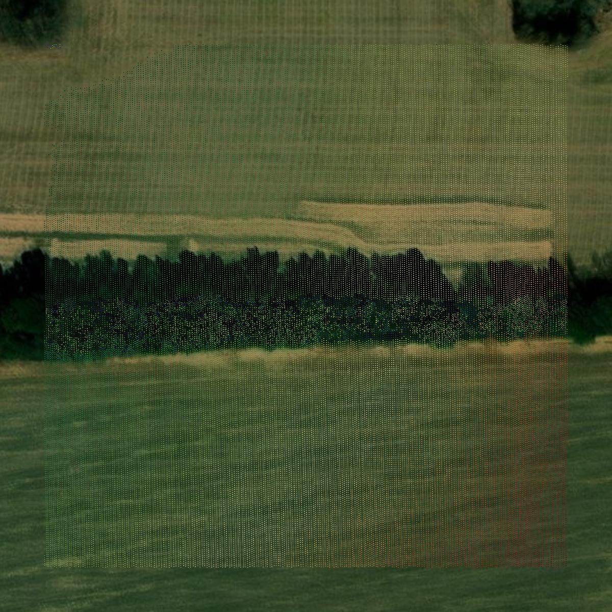
LiDAR
Point clouds (LiDAR) in Calloway County can produce highly accurate 3D models of terrain, structures, and vegetation.
Get LiDAR for Calloway County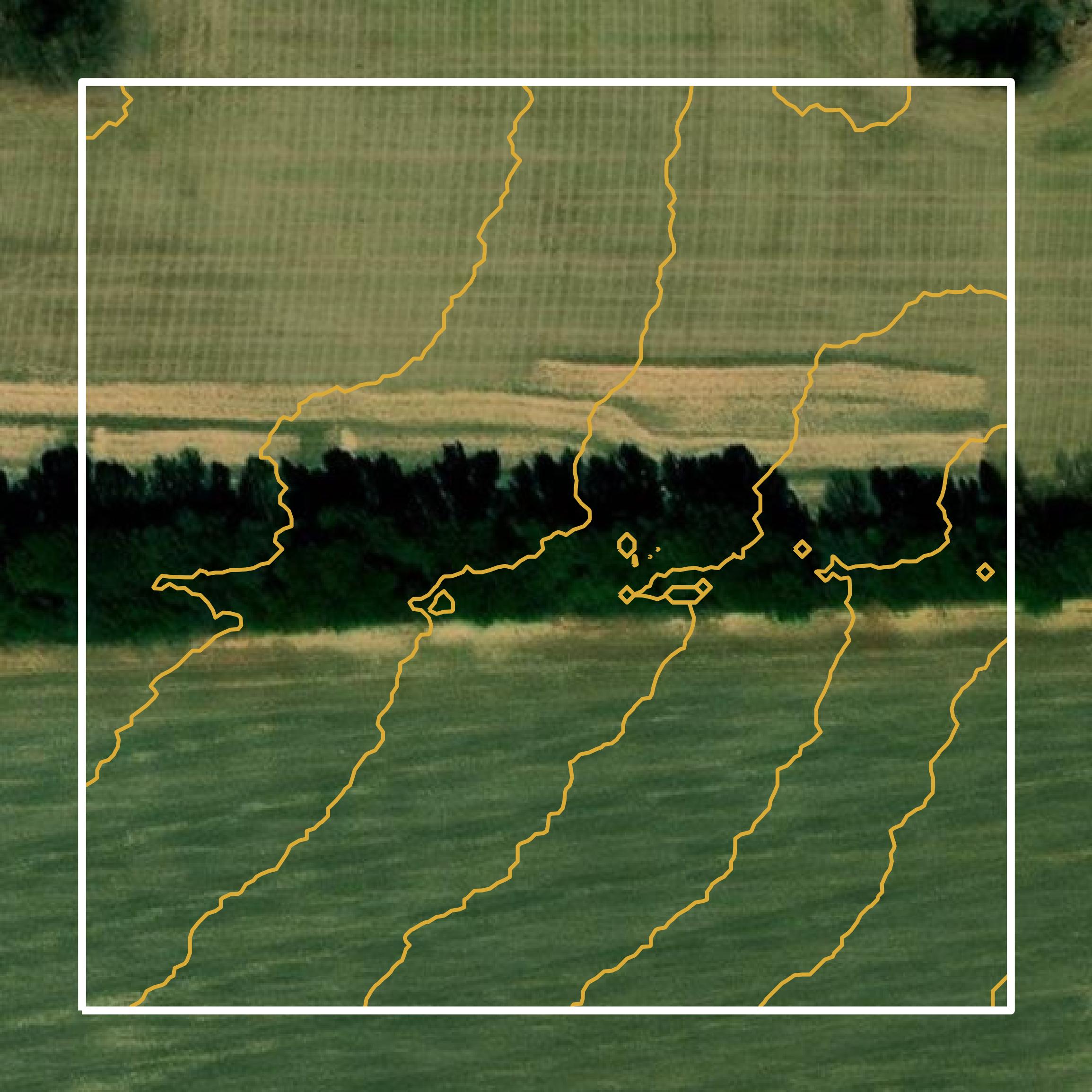
Contours
Contours in Calloway County visualize 3D elevations on a 2D surface allowing you to better understand your site.
Get Contours for Calloway County