Overview
Jackson County GIS Data – For CAD
Equator helps civil engineering, architecture and consulting firms with the tools to instantly find, process and download accurate LiDAR, contours, parcel data, building footprints, DEMs, point clouds and other GIS data for Jackson County in an online web mapping portal.
Jackson County GIS Data →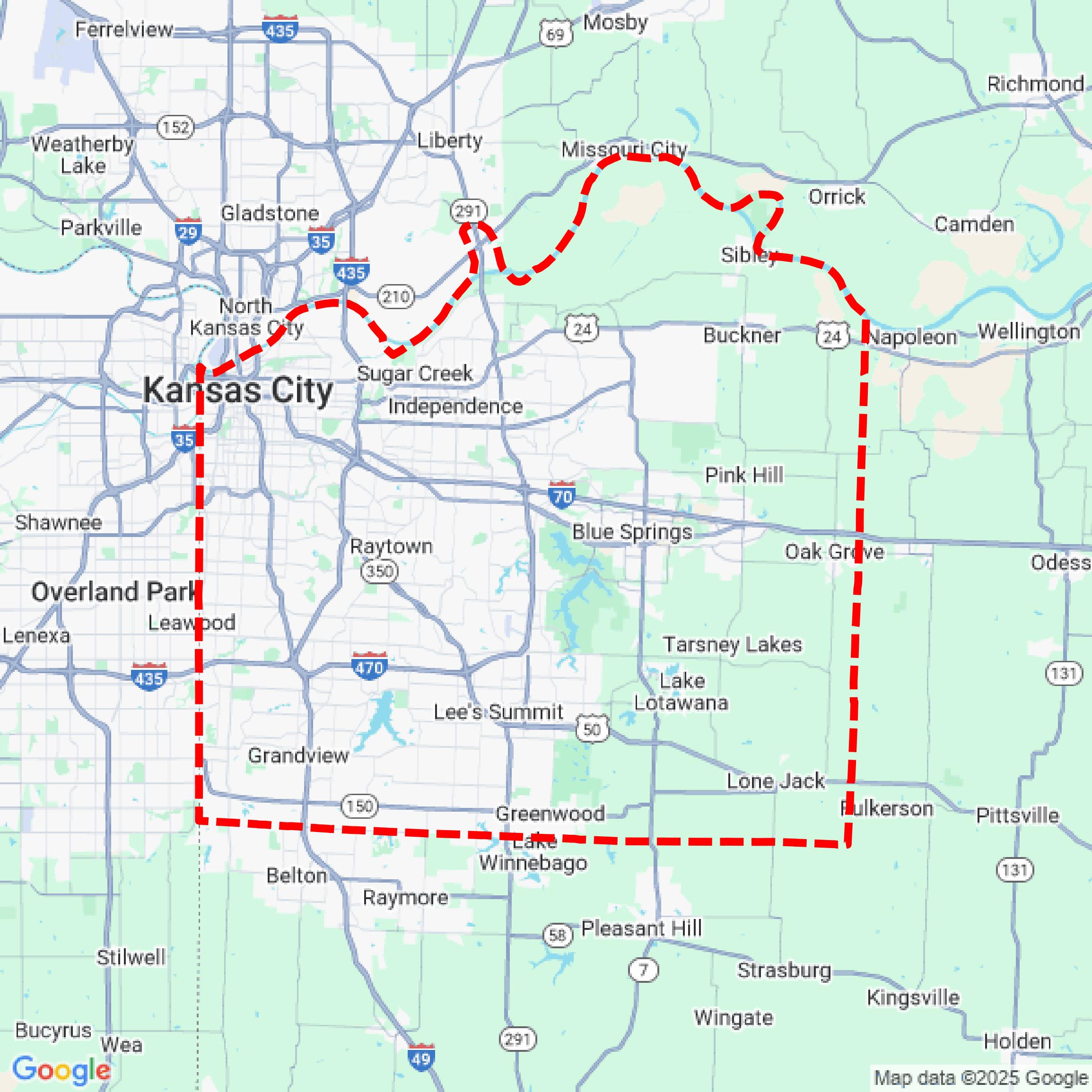

Data Available
Download GIS Data for Jackson County
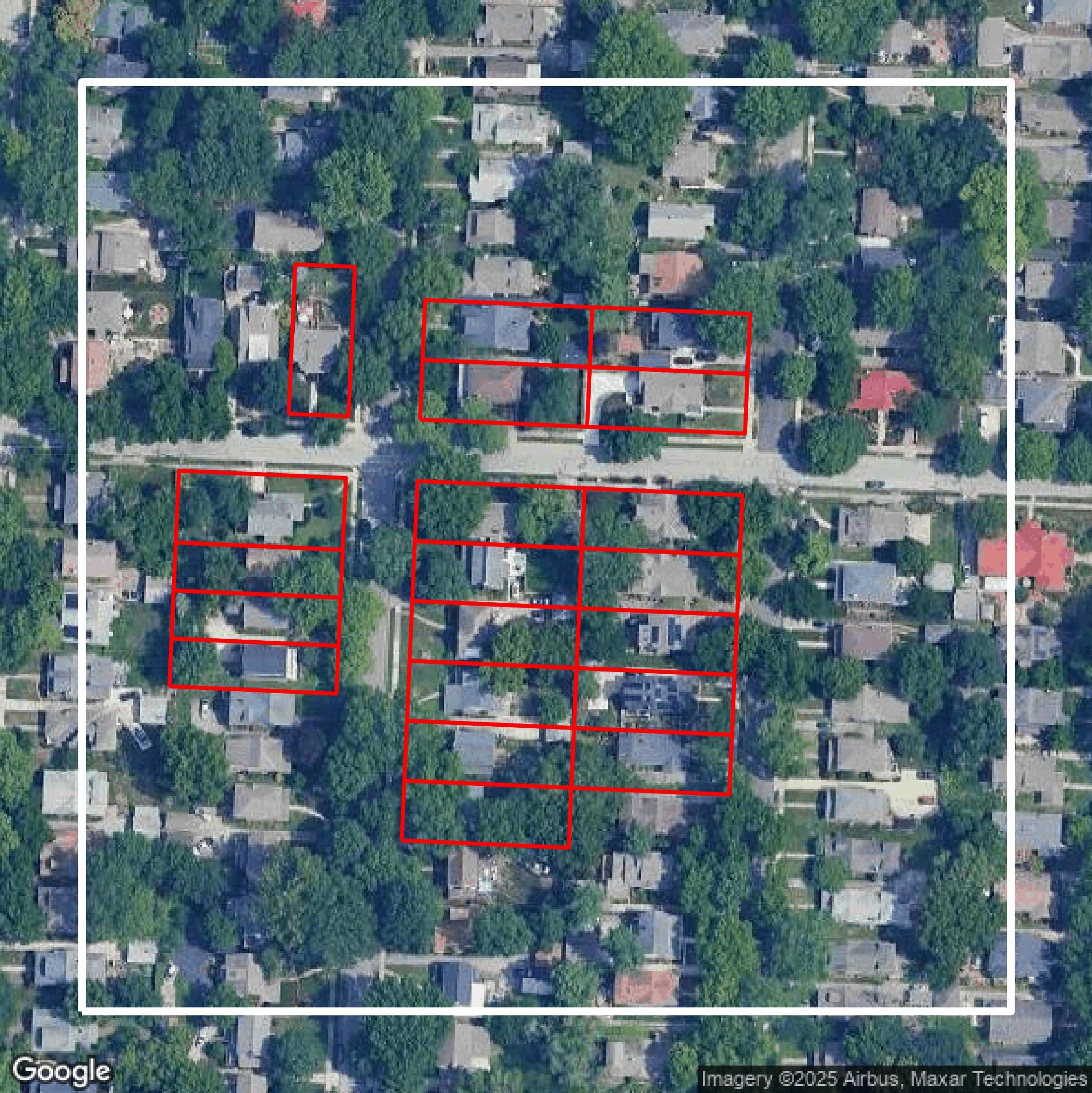
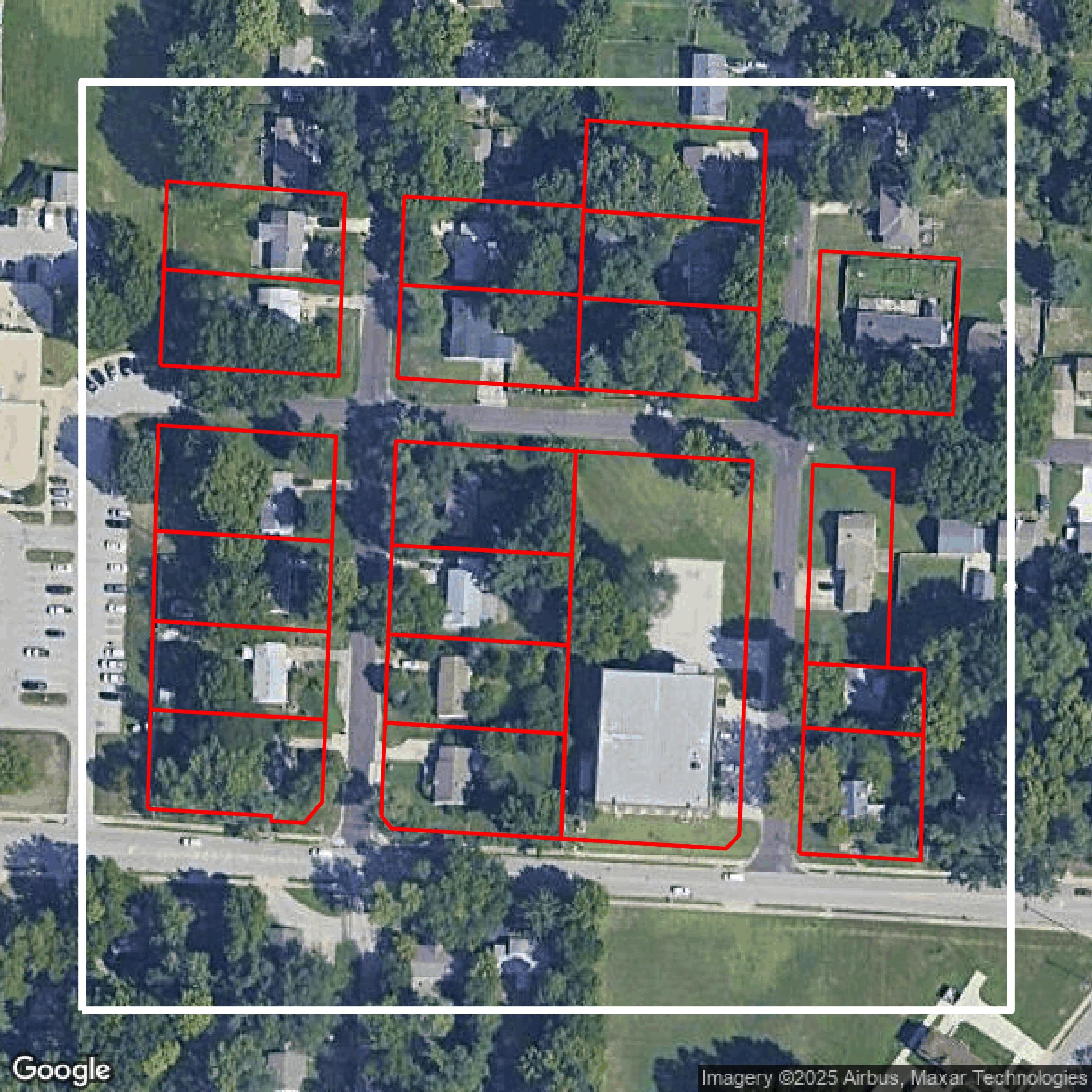
Parcels and Buildings
This image shows parcel and building data in Jackson County created using GIS data in Equator.
Get Parcels and Buildings for Jackson County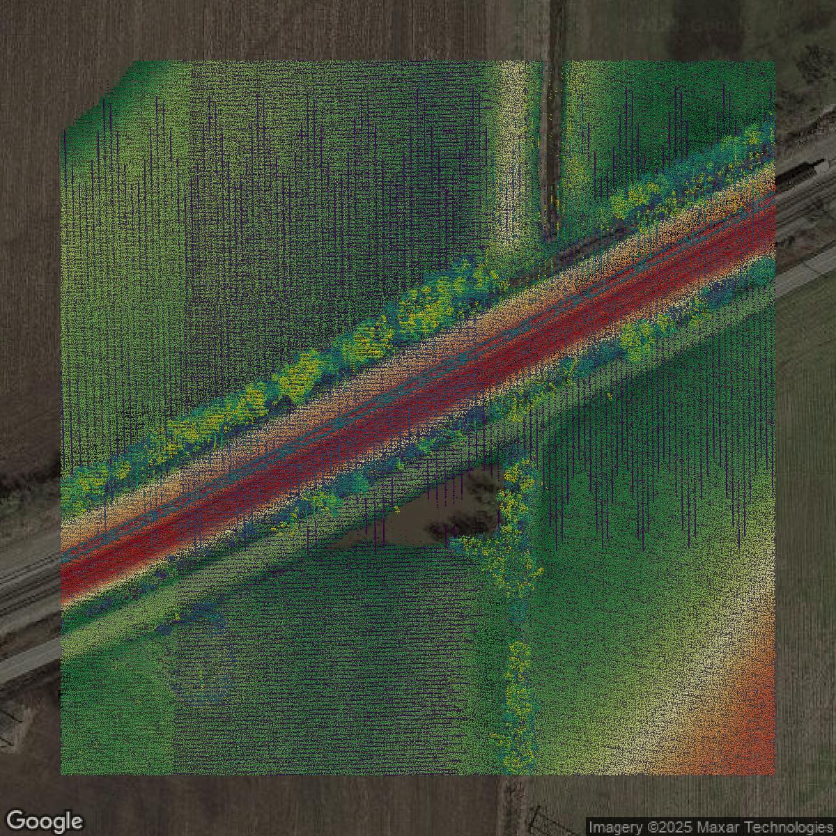
LiDAR
This image shows a LiDAR point cloud in Jackson County created using GIS data in Equator.
Get LiDAR for Jackson County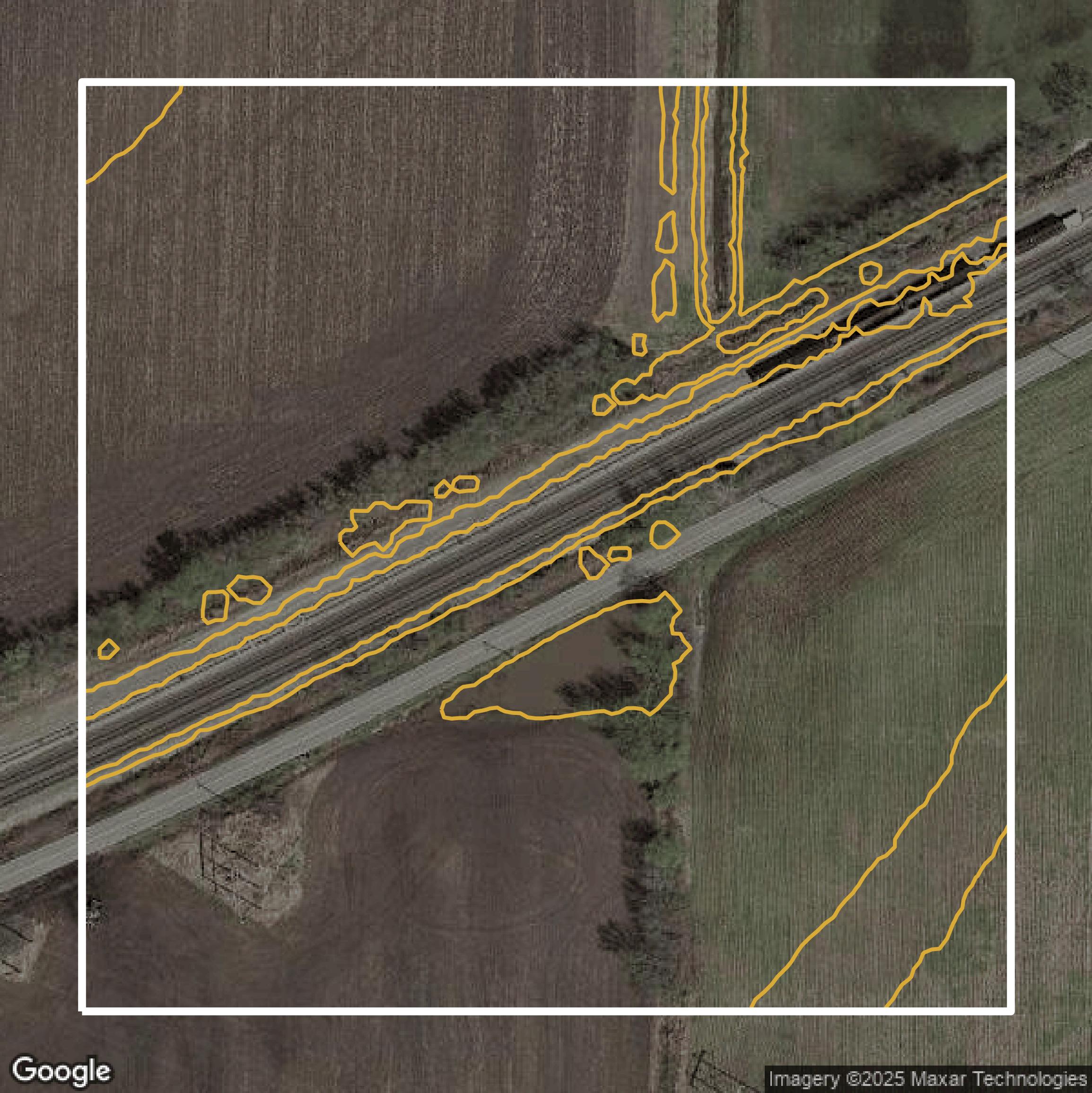
Contours
This image shows a contour map in Jackson County created using GIS data in Equator.
Get Contours for Jackson CountyFormats Available
Export Your Data Ready to Use in Multiple Formats
DWG
AutoCAD Drawing - Industry-standard CAD format
Supported Data:
Contour, Parcel, Building Outline
SHP
Shapefile - Standard GIS vector format
Supported Data:
Contour, Parcel, Building Outline
DXF
Drawing Exchange Format - Universal CAD interchange
Supported Data:
Contour, Building Outline
GeoJSON
Geographic JSON - Web-friendly spatial data format
Supported Data:
Contour, Parcel, Building Outline
LAZ
Compressed LAS - Efficient LiDAR point cloud format
Supported Data:
Point Cloud
SVG
Scalable Vector Graphics - Web vector format
Supported Data:
Contour, Building Outline
GPKG (Coming Soon)
GeoPackage - Modern OGC spatial database format
Supported Data:
Contour, Parcel, Building Outline
LandXML (Coming Soon)
Land XML - Civil engineering data exchange format
Supported Data:
Point Cloud
TIN (Coming Soon)
Triangulated Irregular Network - 3D surface model
Supported Data:
Point Cloud
XYZ (Coming Soon)
XYZ Point Cloud - Simple ASCII point cloud format
Supported Data:
Point Cloud
Background
GIS Data for Jackson County
The Jackson County Geographic Information Systems (GIS) website offers comprehensive mapping data and services that cater to county departments, cities, state and federal agencies, as well as residents. Visitors can access a variety of spatial data layers maintained by GIS for departments including Assessment, Public Works, Parks, and Collections, such as Addresses, Aerial photography, City limits, Elevation data, Parcel boundaries, School districts, and Street centerlines. The site provides options to order paper maps like Parcel Maps (aerial photos with parcel lines and dimensions), Code Sheets (county-wide map showing map book and page info), Tax Code Areas Maps, and Custom Maps available via phone, fax, or email. For digital data users, downloadable datasets include current and historic Aerial Photography, Parcel Data with various attributes, District Boundaries (City Limits, Subdivisions, Fire Districts, Library and School Districts, Water Districts), and a comprehensive Address Database, all offered in formats like ESRI Shapefile, Geodatabase, Microsoft Access Database, TIFF or JPG, with detailed price listings. The site also features explanations on Data Formats such as Geodatabase and Shapefile, including instructions on how to open shapefiles in Autodesk AutoCAD, providing valuable tools and resources for geographic analysis, planning, and decision-making within Jackson County.
Access Jackson County GIS Data in Equator →Jackson County Portal →Showcase
Sample GIS Data for Jackson County
Parcels and Buildings
Parcel and building data in Jackson County are used in a variety of fields including architecture, real estate, and urban planning.
Get Parcels and Buildings for Jackson County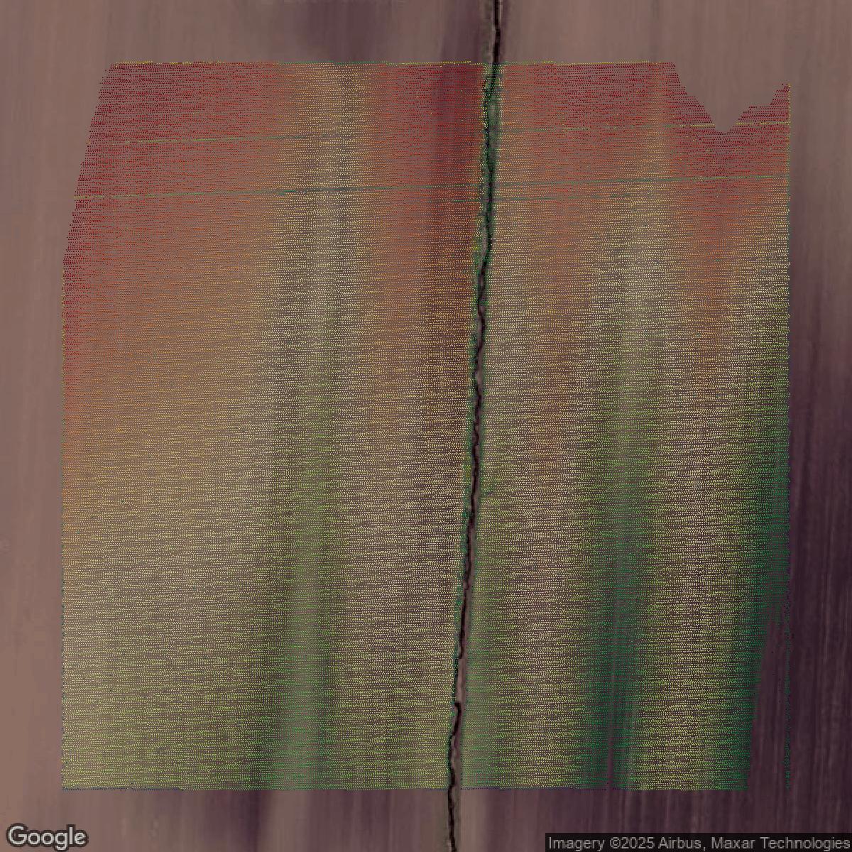
LiDAR
Point clouds (LiDAR) in Jackson County can produce highly accurate 3D models of terrain, structures, and vegetation.
Get LiDAR for Jackson County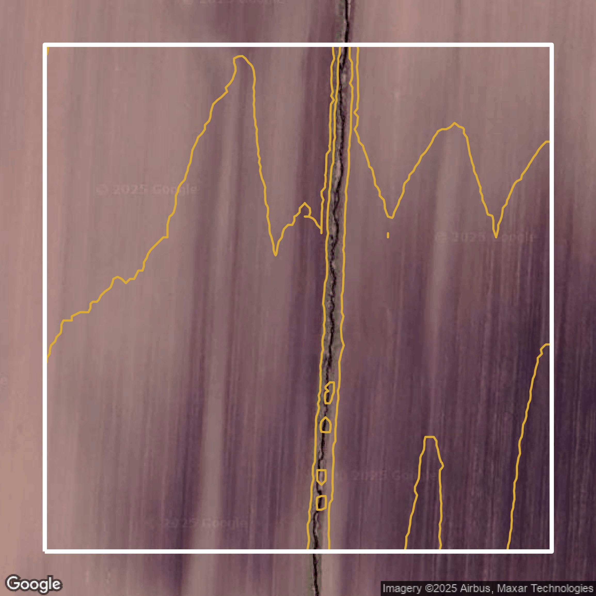
Contours
Contours in Jackson County visualize 3D elevations on a 2D surface allowing you to better understand your site.
Get Contours for Jackson County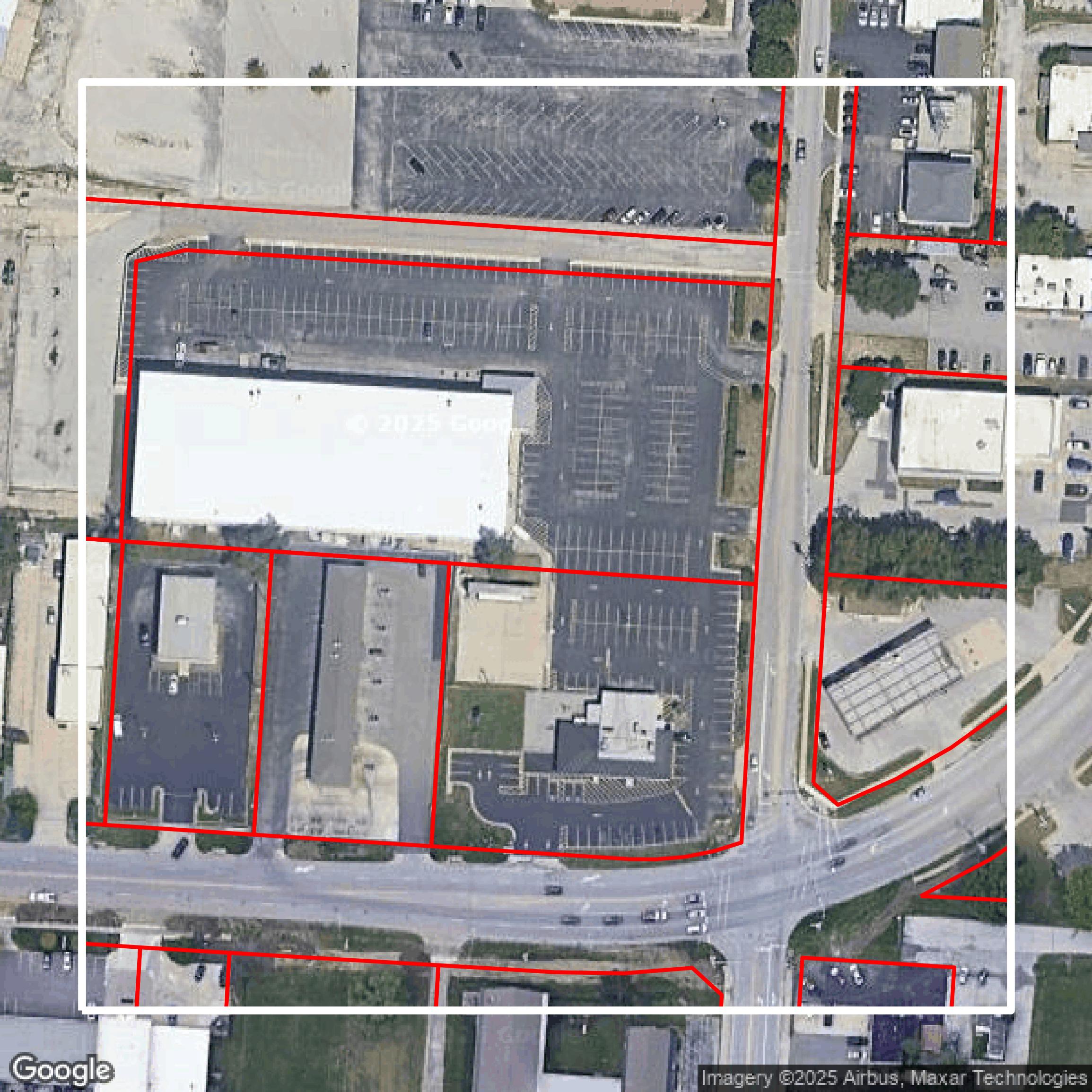
Parcels and Buildings
Accessing Jackson County parcel and building data on Equator gives you access to coverage across the US.
Get Parcels and Buildings for Jackson County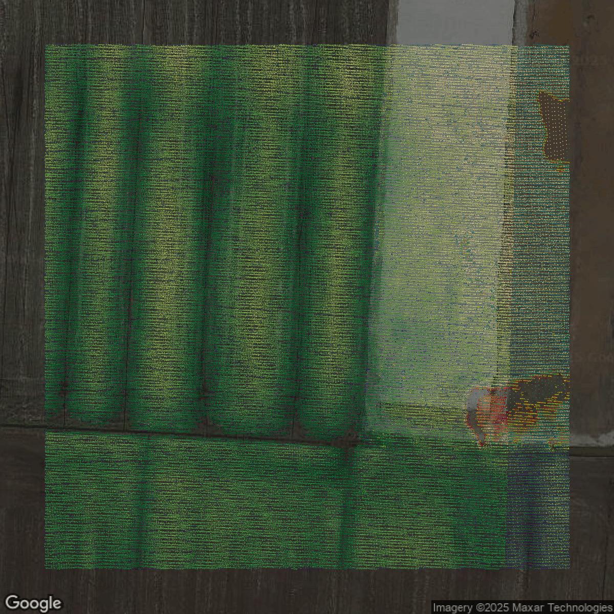
LiDAR
Jackson County LiDAR uses include land surveying, analyzing crop health, or even archaeological studies.
Get LiDAR for Jackson County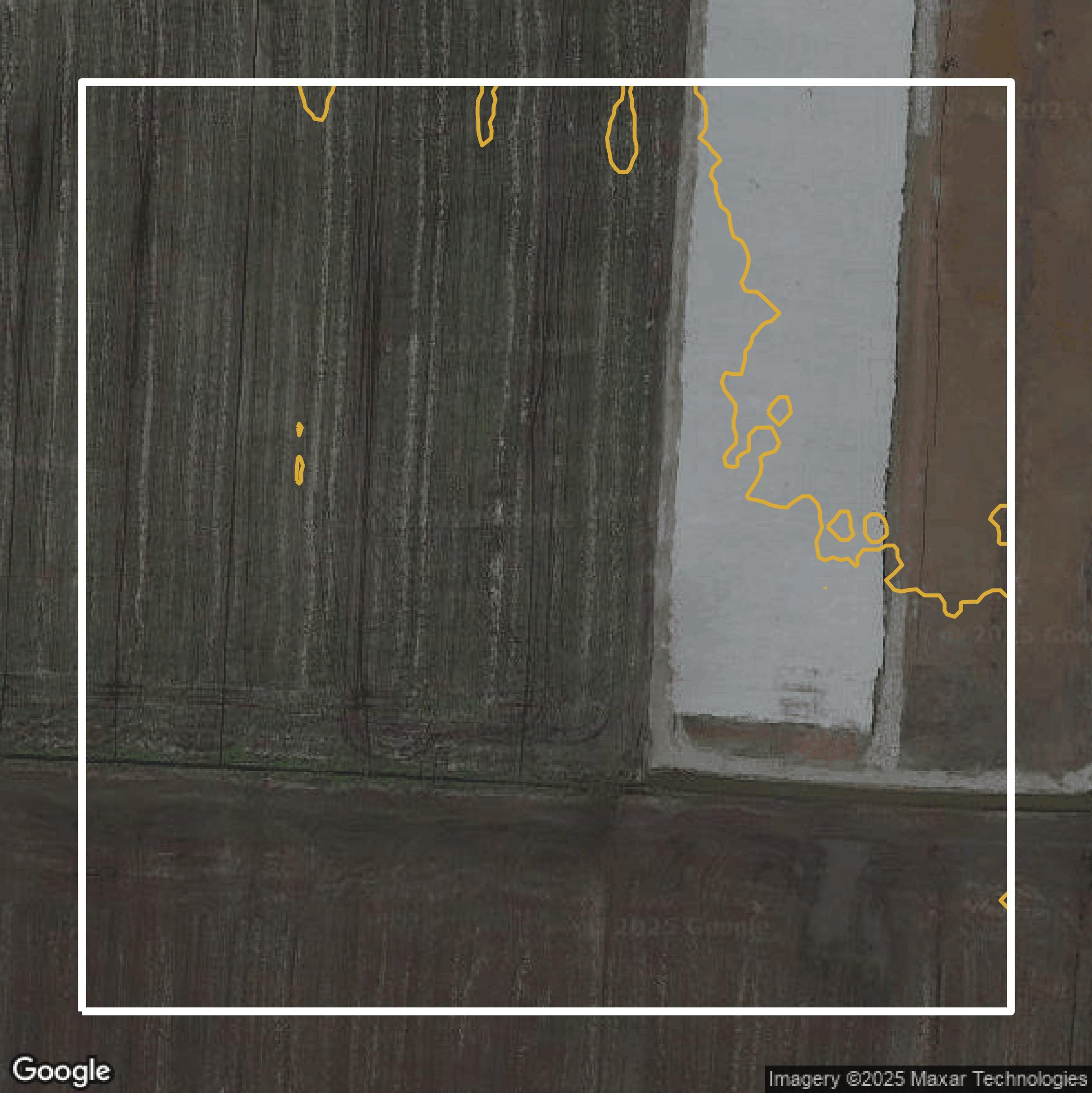
Contours
Jackson County contours can be used for construction & engineering, environmental science, and more.
Get Contours for Jackson County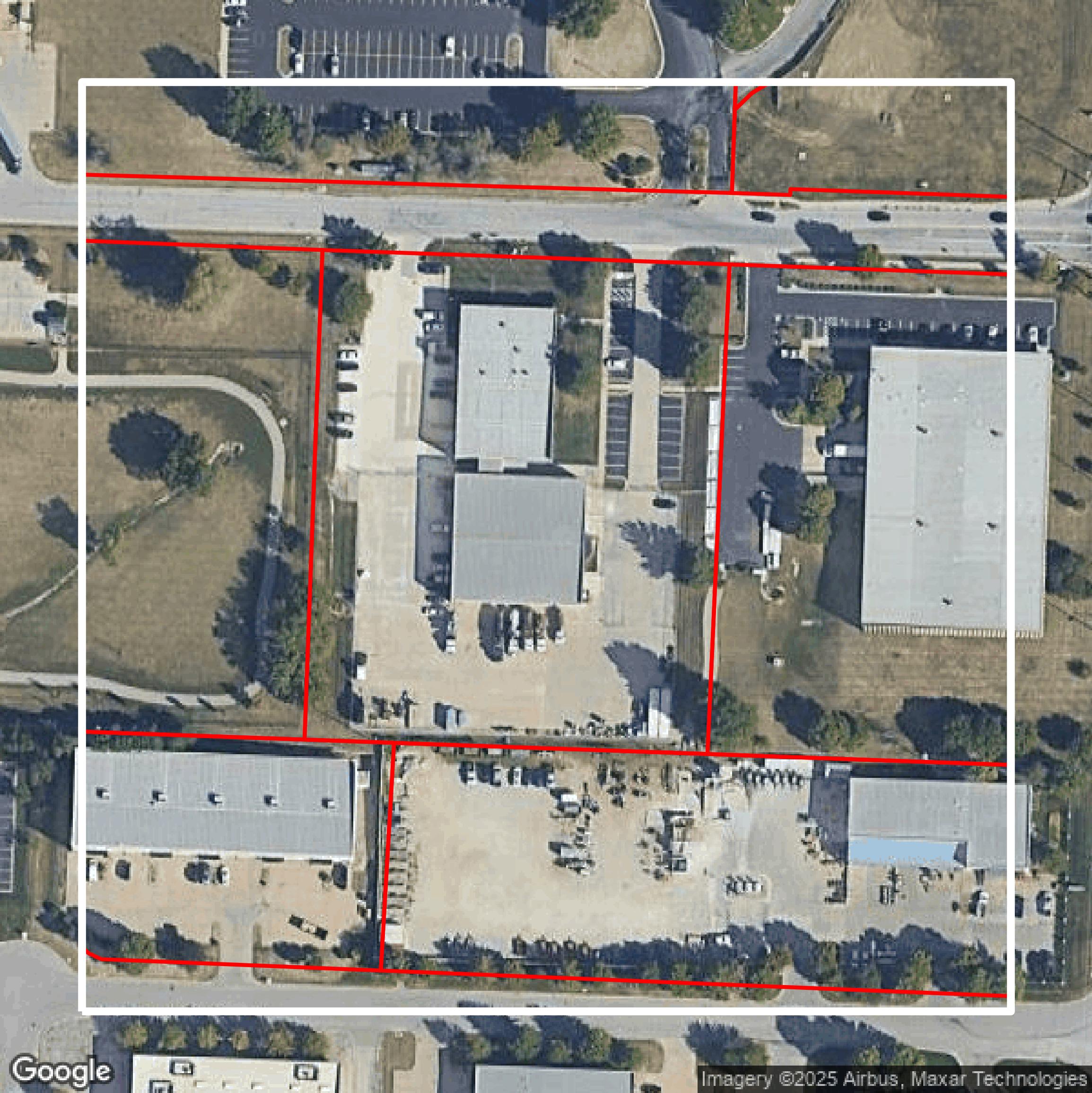
Parcels and Buildings
Dozens of fields are contained within each Jackson County parcel and building data, including zoning, owners, and year built.
Get Parcels and Buildings for Jackson County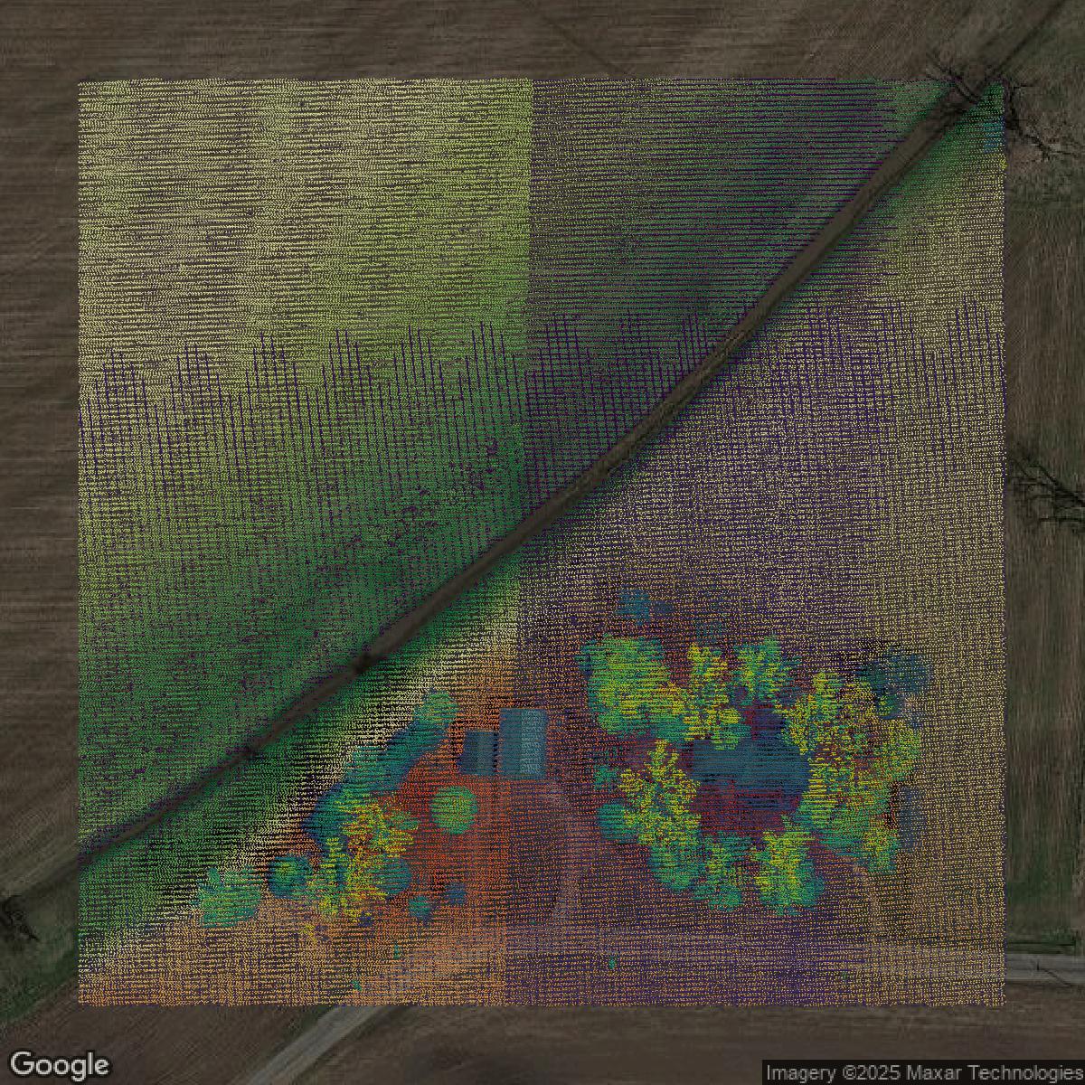
LiDAR
Equator turns Jackson County LiDAR point clouds into various lidar-derived data sets, including DEMs.
Get LiDAR for Jackson County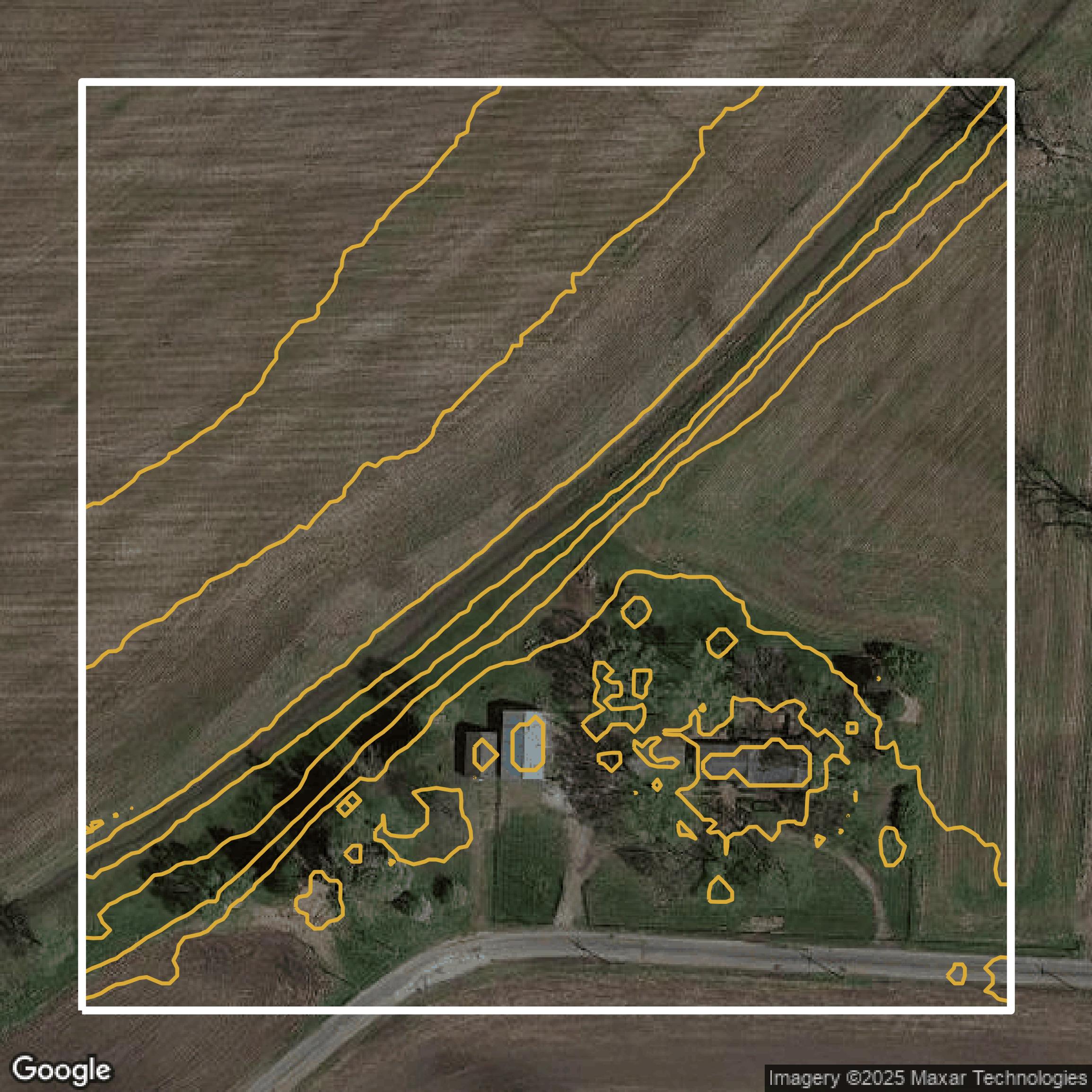
Contours
Jackson County contours on Equator are produced from LiDAR coverage, allowing for high precision
Get Contours for Jackson County