
Overview
St. Louis County GIS Data - For CAD
Equator helps civil engineering, architecture and consulting firms with the tools to instantly find, process and download accurate LiDAR, contours, parcel data, building footprints, DEMs, point clouds and other GIS data for St. Louis County in an online web mapping portal.
St. Louis County GIS Data ->
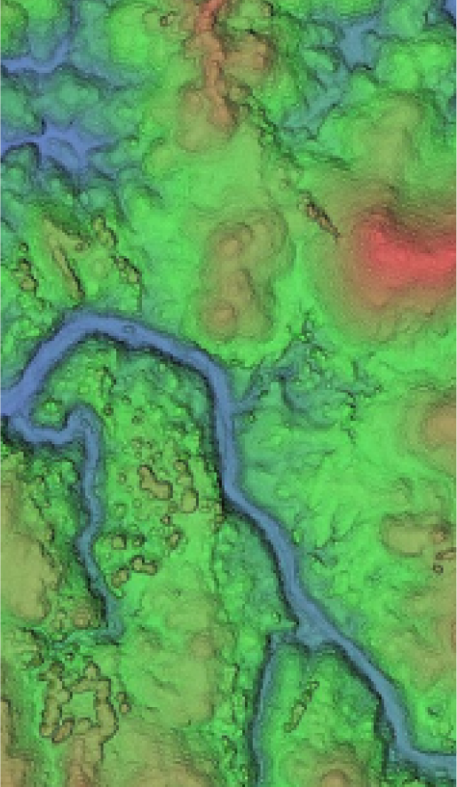

Data Available
Download GIS Data for St. Louis County

Parcels and Buildings
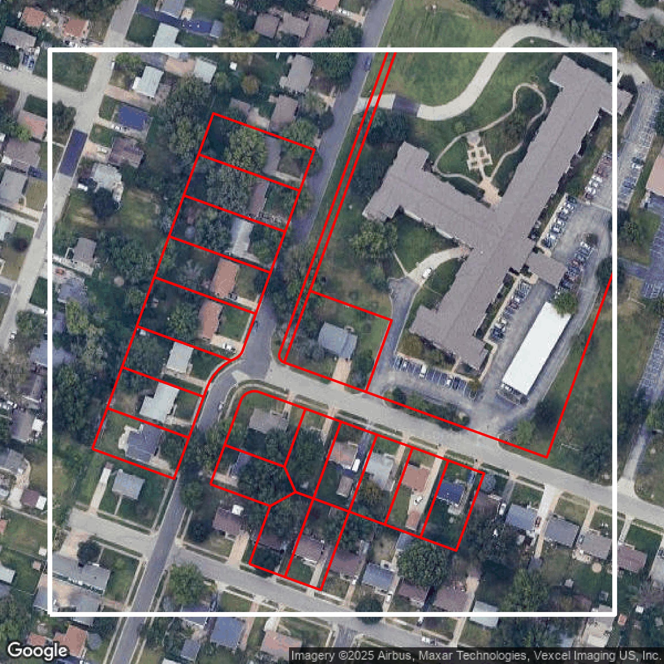
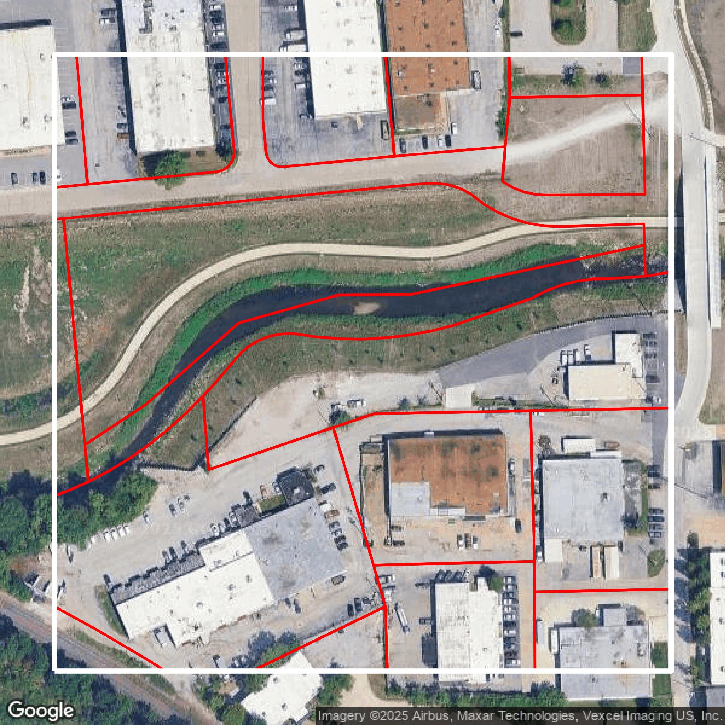
This image shows parcel and building data in St. Louis County created using GIS data in Equator.

LiDAR
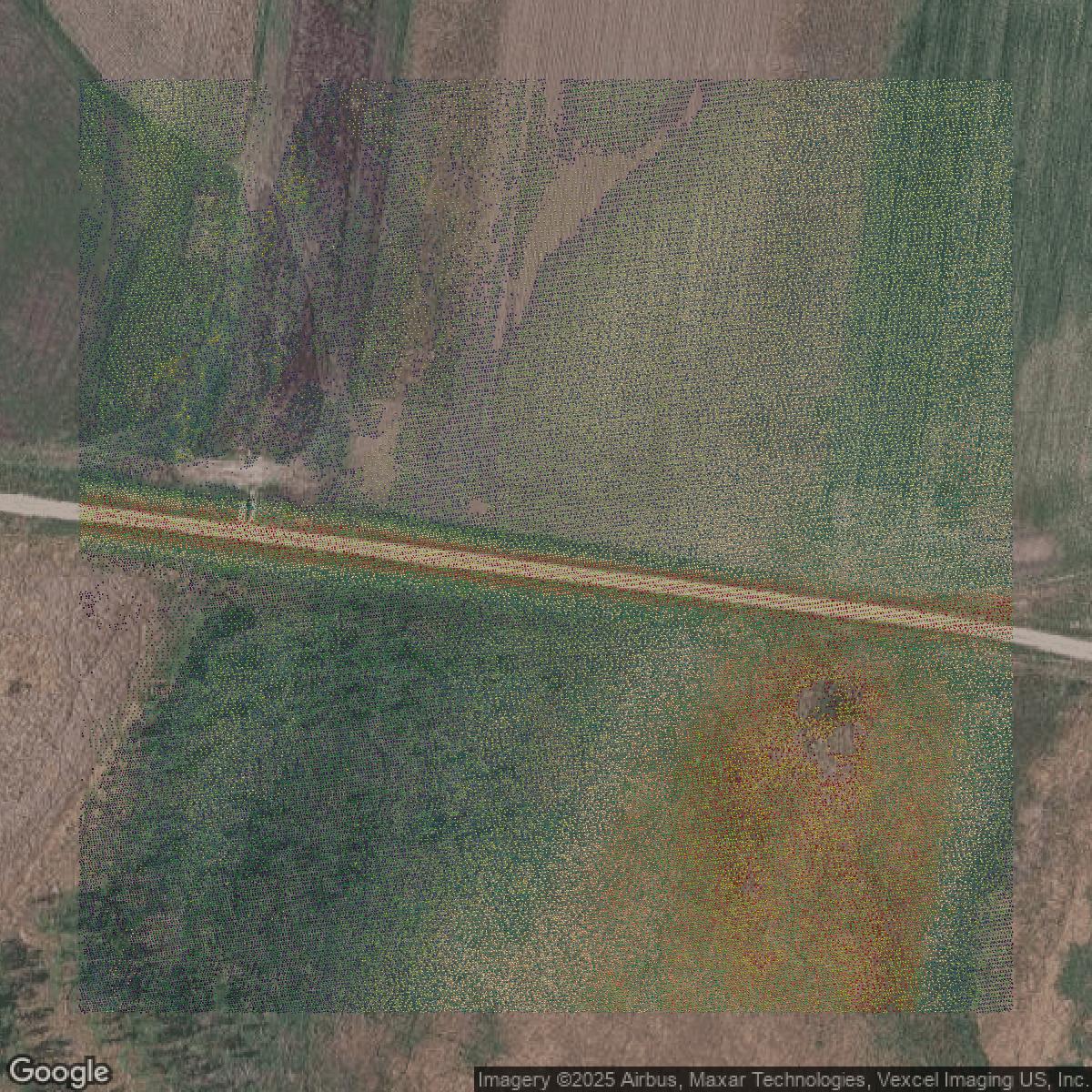
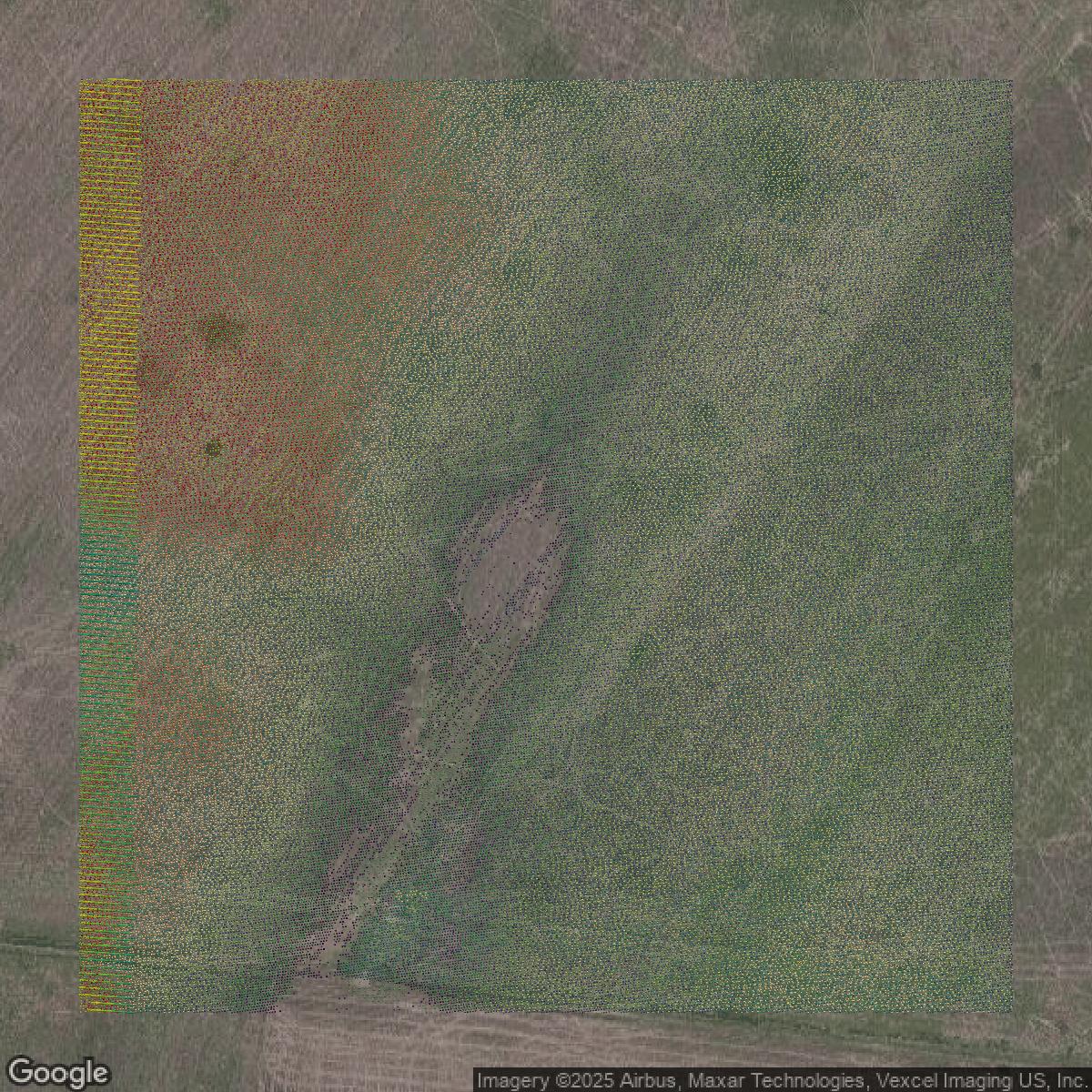
This image shows a LiDAR point cloud in St. Louis County created using GIS data in Equator.

Contours
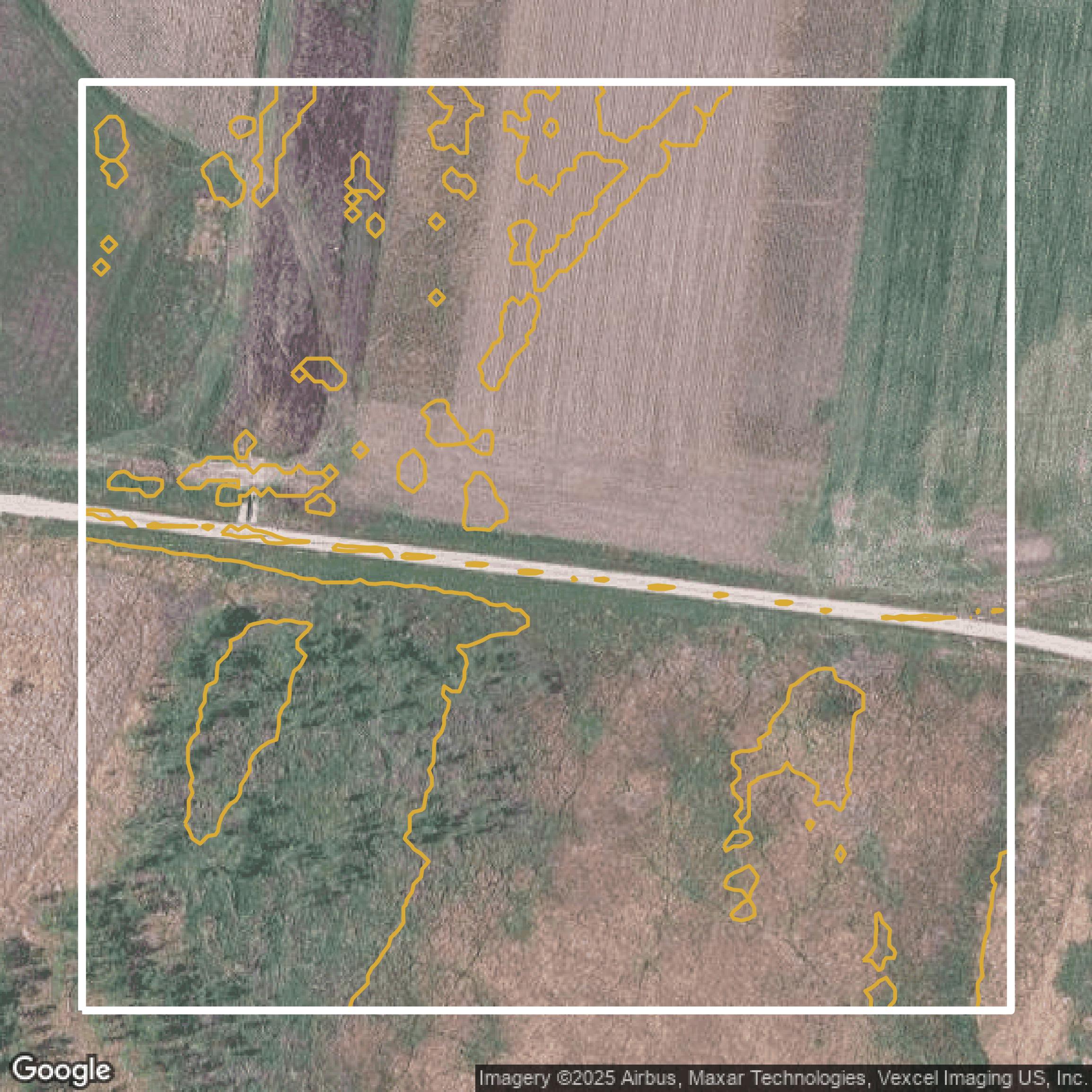
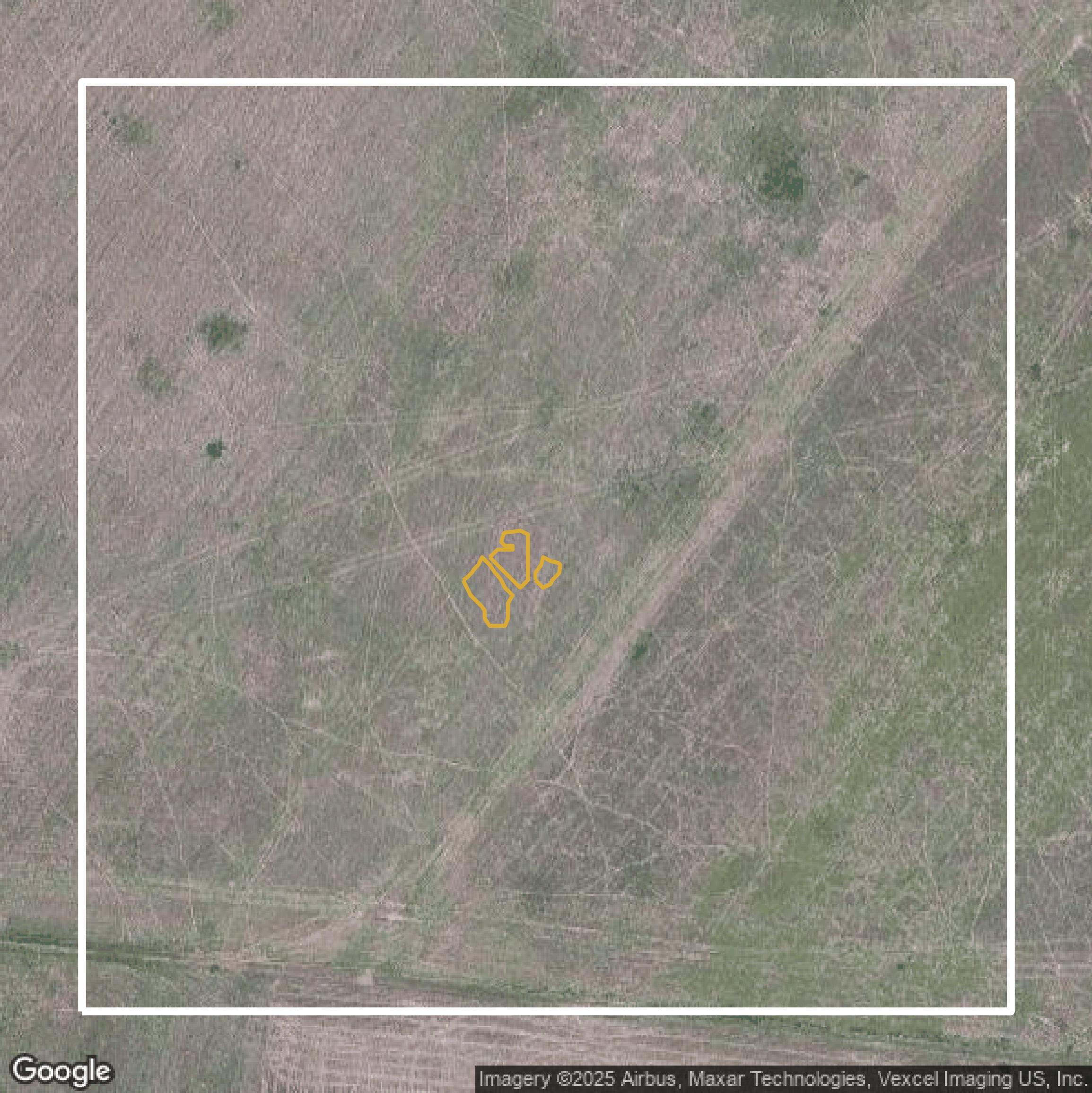
This image shows a contour map in St. Louis County created using GIS data in Equator.
Formats Available
Export Your Data Ready to Use in Multiple Formats
DWG
AutoCAD Drawing - Industry-standard CAD format
Supported Data:
Contour, Parcel, Building Outline
SHP
Shapefile - Standard GIS vector format
Supported Data:
Contour, Parcel, Building Outline
DXF
Drawing Exchange Format - Universal CAD interchange
Supported Data:
Contour, Building Outline
GeoJSON
Geographic JSON - Web-friendly spatial data format
Supported Data:
Contour, Parcel, Building Outline
LAZ
Compressed LAS - Efficient LiDAR point cloud format
Supported Data:
Point Cloud
SVG
Scalable Vector Graphics - Web vector format
Supported Data:
Contour, Building Outline
GPKG
GeoPackage - Modern OGC spatial database format
Supported Data:
Contour, Parcel, Building Outline
LandXML (Coming Soon)
Land XML - Civil engineering data exchange format
Supported Data:
Point Cloud
TIN (Coming Soon)
Triangulated Irregular Network - 3D surface model
Supported Data:
Point Cloud
XYZ (Coming Soon)
XYZ Point Cloud - Simple ASCII point cloud format
Supported Data:
Point Cloud
Background
GIS Data for St. Louis County
Saint Louis County’s Open Government website offers a comprehensive platform where visitors can access accurate, consistent, and affordable Geographic Information Systems (GIS) data and services designed in partnership with public and private agencies. Users can explore a rich collection of datasets including “Parcel Boundaries,” “Flood Zones,” “Zoning Districts,” and “Transportation Networks,” alongside interactive tools such as “Interactive Maps” that enable dynamic spatial analysis and visualization. The site hosts a variety of open data resources under categories like “Open Data” and provides easy-to-use search features to find specific datasets tagged with “HubAllData,” “HubPrintAll,” and “HubAppAll.” Whether you are a government official, business professional, or community member, you can expect to find comprehensive geospatial information and mapping tools that support transparency, planning, and informed decision-making in Saint Louis County.
Access St. Louis County GIS Data in Equator →St. Louis County Portal →Showcase
Sample GIS Data for St. Louis County
Parcels and Buildings
Parcel and building data in St. Louis County are used in a variety of fields including architecture, real estate, and urban planning.

LiDAR
Point clouds (LiDAR) in St. Louis County can produce highly accurate 3D models of terrain, structures, and vegetation.

Contours
Contours in St. Louis County visualize 3D elevations on a 2D surface allowing you to better understand your site.
Showcase
Sample GIS Data for St. Louis County

Parcels and Buildings
Accessing St. Louis County parcel and building data on Equator gives you access to coverage across the US.
LiDAR
St. Louis County LiDAR uses include land surveying, analyzing crop health, or even archaeological studies.
Contours
St. Louis County contours can be used for construction & engineering, environmental science, and more.
Showcase
Sample GIS Data for St. Louis County
Parcels and Buildings
Dozens of fields are contained within each St. Louis County parcel and building data, including zoning, owners, and year built.
LiDAR
Equator turns St. Louis County LiDAR point clouds into various lidar-derived data sets, including DEMs.
Contours
St. Louis County contours on Equator are produced from LiDAR coverage, allowing for high precision