Overview
Ravalli County GIS Data - For CAD
Equator helps civil engineering, architecture and consulting firms with the tools to instantly find, process and download accurate LiDAR, contours, parcel data, building footprints, DEMs, point clouds and other GIS data for Ravalli County in an online web mapping portal.
Ravalli County GIS Data ->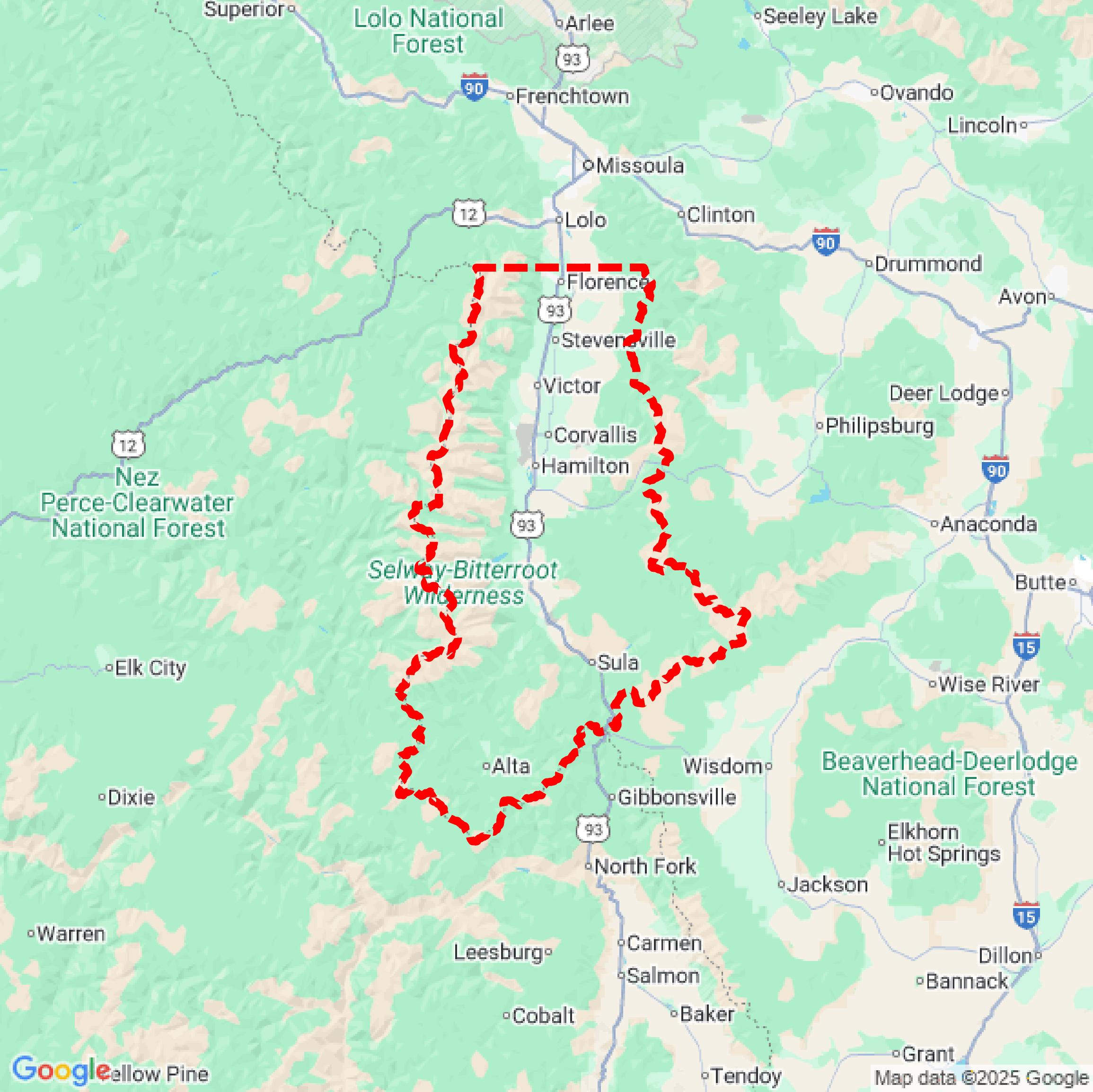

Data Available
Download GIS Data for Ravalli County

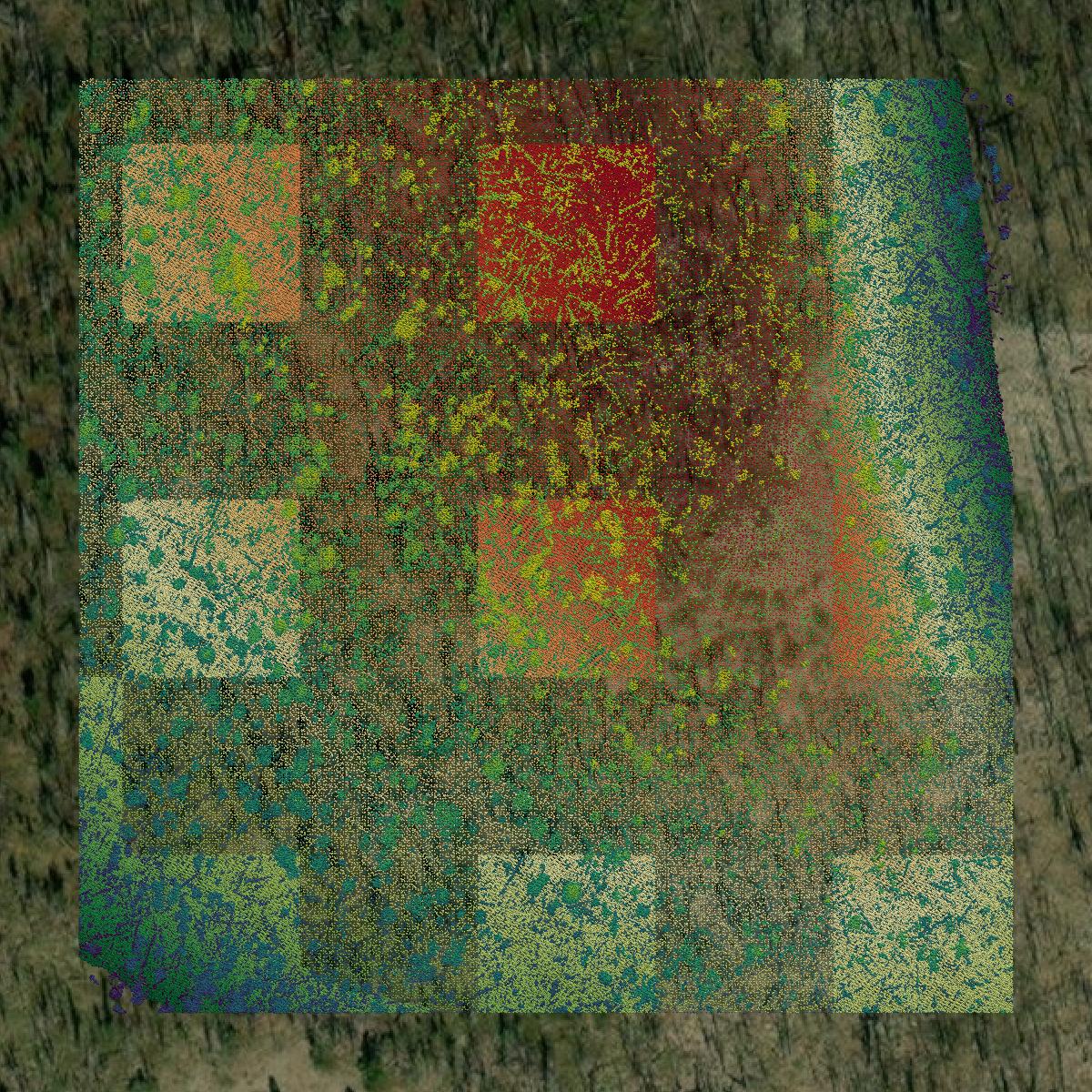
Parcels and Buildings
This image shows parcel and building data in Ravalli County created using GIS data in Equator.
LiDAR
This image shows a LiDAR point cloud in Ravalli County created using GIS data in Equator.
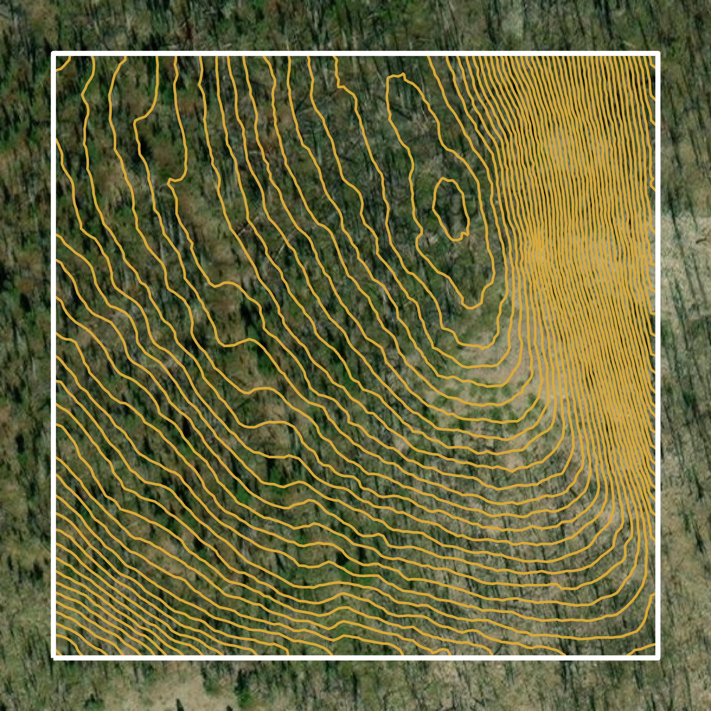
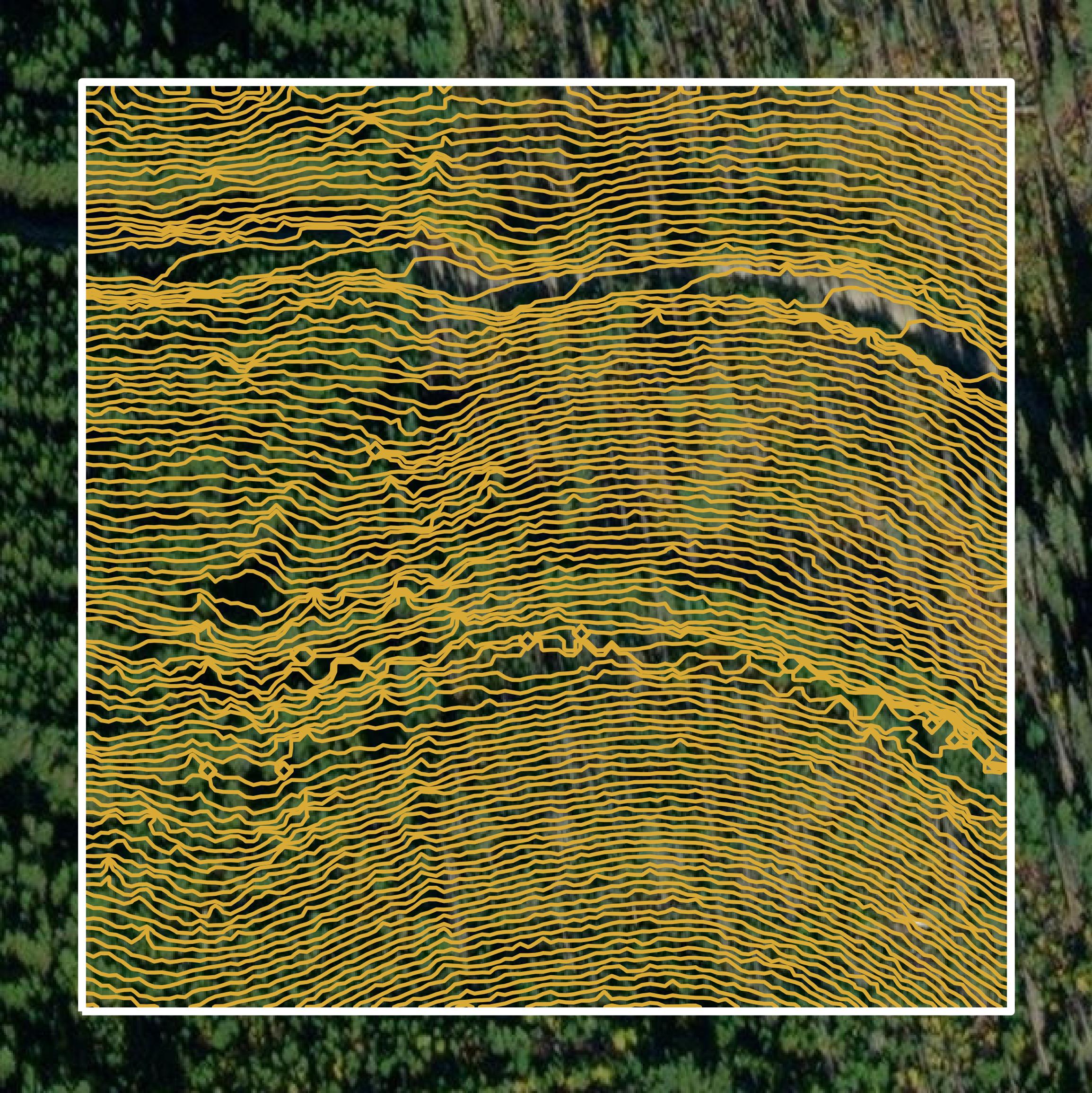
Contours
This image shows a contour map in Ravalli County created using GIS data in Equator.
Formats Available
Export Your Data Ready to Use in Multiple Formats
DWG
AutoCAD Drawing - Industry-standard CAD format
Supported Data:
Contour, Parcel, Building Outline
SHP
Shapefile - Standard GIS vector format
Supported Data:
Contour, Parcel, Building Outline
DXF
Drawing Exchange Format - Universal CAD interchange
Supported Data:
Contour, Building Outline
GeoJSON
Geographic JSON - Web-friendly spatial data format
Supported Data:
Contour, Parcel, Building Outline
LAZ
Compressed LAS - Efficient LiDAR point cloud format
Supported Data:
Point Cloud
SVG
Scalable Vector Graphics - Web vector format
Supported Data:
Contour, Building Outline
GPKG
GeoPackage - Modern OGC spatial database format
Supported Data:
Contour, Parcel, Building Outline
LandXML (Coming Soon)
Land XML - Civil engineering data exchange format
Supported Data:
Point Cloud
TIN (Coming Soon)
Triangulated Irregular Network - 3D surface model
Supported Data:
Point Cloud
XYZ (Coming Soon)
XYZ Point Cloud - Simple ASCII point cloud format
Supported Data:
Point Cloud
Background
GIS Data for Ravalli County
The Geographic Information Systems (GIS) webpage for Ravalli County, Montana, provides access to a variety of geographic data and mapping resources. The portal includes datasets related to parcel information, zoning classifications, and aerial imagery, which support county departments and public inquiries. It facilitates the production and updating of maps, as well as spatial analysis, while also managing requests for geographic data from both governmental and private entities. Additionally, the site outlines the county's responsibilities regarding physical address issuance and road naming, emphasizing that the GIS data is not an official record and should not be used for legal purposes.
Access Ravalli County GIS Data in Equator →Ravalli County Portal →Showcase
Sample GIS Data for Ravalli County

Parcels and Buildings
Parcel and building data in Ravalli County are used in a variety of fields including architecture, real estate, and urban planning.
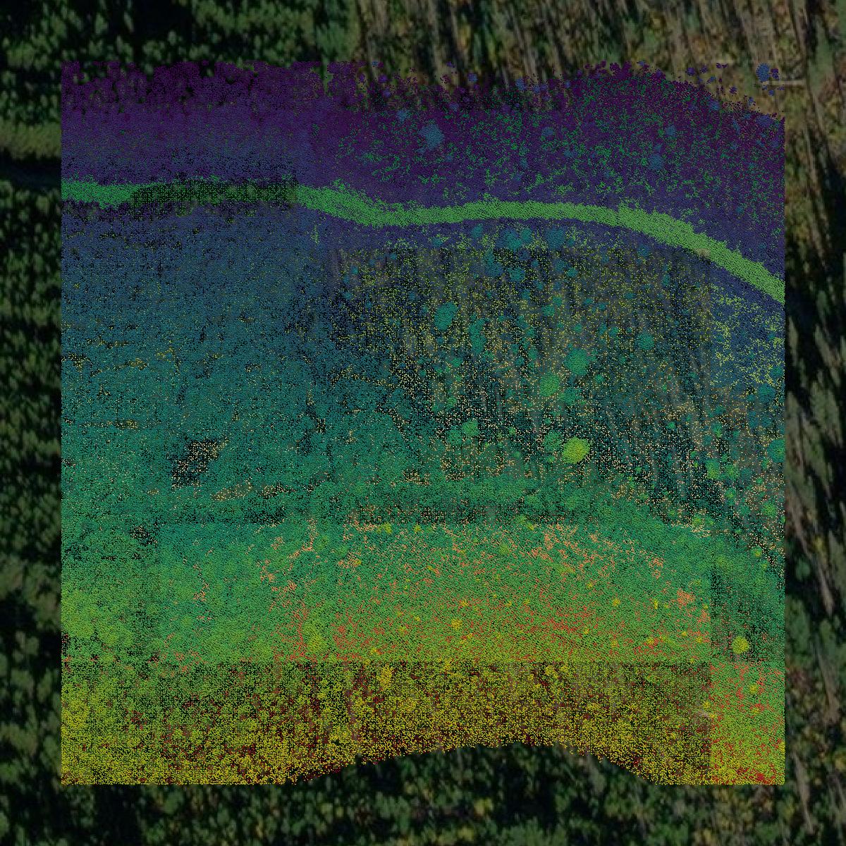
LiDAR
Point clouds (LiDAR) in Ravalli County can produce highly accurate 3D models of terrain, structures, and vegetation.
Contours
Contours in Ravalli County visualize 3D elevations on a 2D surface allowing you to better understand your site.