Overview
Santa Fe County GIS Data - For CAD
Equator helps civil engineering, architecture and consulting firms with the tools to instantly find, process and download accurate LiDAR, contours, parcel data, building footprints, DEMs, point clouds and other GIS data for Santa Fe County in an online web mapping portal.
Santa Fe County GIS Data ->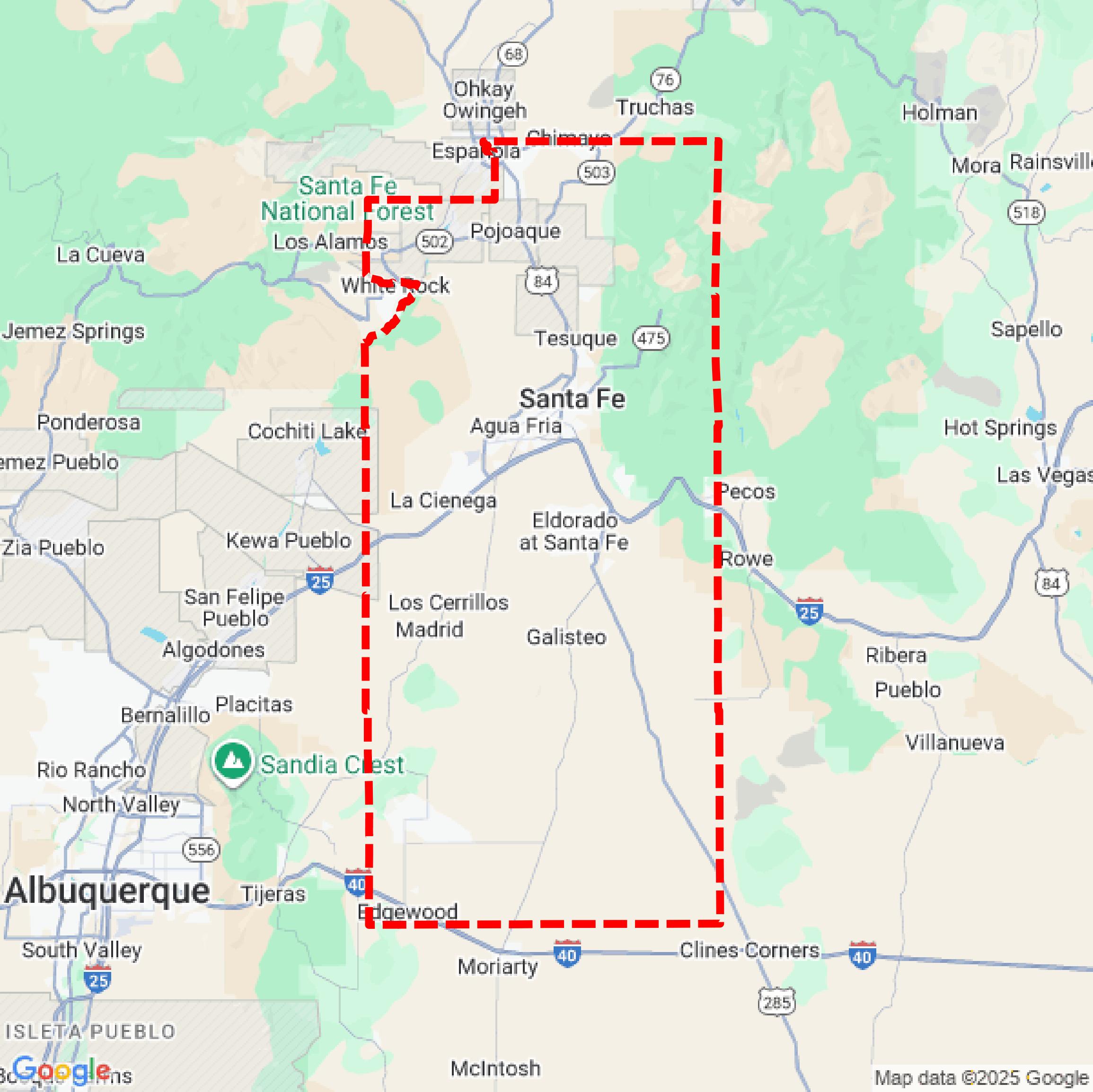

Data Available
Download GIS Data for Santa Fe County
Formats Available
Export Your Data Ready to Use in Multiple Formats
DWG
AutoCAD Drawing - Industry-standard CAD format
Supported Data:
Contour, Parcel, Building Outline
SHP
Shapefile - Standard GIS vector format
Supported Data:
Contour, Parcel, Building Outline
DXF
Drawing Exchange Format - Universal CAD interchange
Supported Data:
Contour, Building Outline
GeoJSON
Geographic JSON - Web-friendly spatial data format
Supported Data:
Contour, Parcel, Building Outline
LAZ
Compressed LAS - Efficient LiDAR point cloud format
Supported Data:
Point Cloud
SVG
Scalable Vector Graphics - Web vector format
Supported Data:
Contour, Building Outline
GPKG
GeoPackage - Modern OGC spatial database format
Supported Data:
Contour, Parcel, Building Outline
LandXML (Coming Soon)
Land XML - Civil engineering data exchange format
Supported Data:
Point Cloud
TIN (Coming Soon)
Triangulated Irregular Network - 3D surface model
Supported Data:
Point Cloud
XYZ (Coming Soon)
XYZ Point Cloud - Simple ASCII point cloud format
Supported Data:
Point Cloud
Background
GIS Data for Santa Fe County
The Santa Fe County Geographic Information Systems (GIS) webpage provides access to a variety of GIS datasets and mapping resources. Available content includes parcel data, zoning information, aerial imagery, and interactive maps. The GIS Division is responsible for acquiring, managing, and analyzing geographic data to support decision-making for both the county and the public. Additionally, the site offers custom mapping services and a price list for GIS products. An ongoing project aims to enhance the existing online map services with a new interactive map portal, improving access to county data and resources.
Access Santa Fe County GIS Data in Equator →Santa Fe County Portal →