Overview
Torrance County GIS Data – For CAD
Equator helps civil engineering, architecture and consulting firms with the tools to instantly find, process and download accurate LiDAR, contours, parcel data, building footprints, DEMs, point clouds and other GIS data for Torrance County in an online web mapping portal.
Torrance County GIS Data →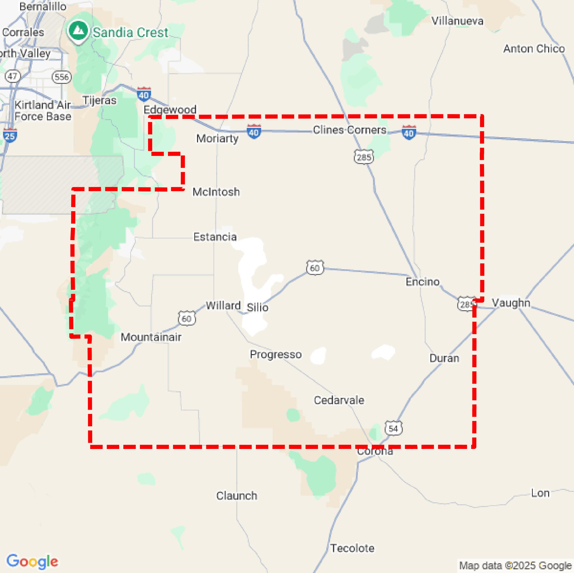

Data Available
Download GIS Data for Torrance County
Parcels and Buildings
This image shows parcel and building data in Torrance County created using GIS data in Equator.
Get Parcels and Buildings for Torrance CountyLiDAR
This image shows a LiDAR point cloud in Torrance County created using GIS data in Equator.
Get LiDAR for Torrance CountyContours
This image shows a contour map in Torrance County created using GIS data in Equator.
Get Contours for Torrance CountyFormats Available
Export Your Data Ready to Use in Multiple Formats
DWG
AutoCAD Drawing - Industry-standard CAD format
Supported Data:
Contour, Parcel, Building Outline
SHP
Shapefile - Standard GIS vector format
Supported Data:
Contour, Parcel, Building Outline
DXF
Drawing Exchange Format - Universal CAD interchange
Supported Data:
Contour, Building Outline
GeoJSON
Geographic JSON - Web-friendly spatial data format
Supported Data:
Contour, Parcel, Building Outline
LAZ
Compressed LAS - Efficient LiDAR point cloud format
Supported Data:
Point Cloud
SVG
Scalable Vector Graphics - Web vector format
Supported Data:
Contour, Building Outline
GPKG (Coming Soon)
GeoPackage - Modern OGC spatial database format
Supported Data:
Contour, Parcel, Building Outline
LandXML (Coming Soon)
Land XML - Civil engineering data exchange format
Supported Data:
Point Cloud
TIN (Coming Soon)
Triangulated Irregular Network - 3D surface model
Supported Data:
Point Cloud
XYZ (Coming Soon)
XYZ Point Cloud - Simple ASCII point cloud format
Supported Data:
Point Cloud
Background
GIS Data for Torrance County
The Torrance County, New Mexico Rural Addressing webpage provides access to essential geographic information system (GIS) resources aimed at enhancing property identification in rural areas. It includes datasets related to rural addressing, which assigns nationally recognized addresses to occupied properties, thereby facilitating emergency services and other service providers in locating them. The site features online mapping data, which is continuously maintained and updated, and offers links to relevant maps, including those published by the State of New Mexico's Property Tax Division. Additionally, users can find information on the Rural Addressing Ordinance and download various forms related to rural addressing services.
Access Torrance County GIS Data in Equator →Torrance County Portal →Showcase
Sample GIS Data for Torrance County
Parcels and Buildings
Parcel and building data in Torrance County are used in a variety of fields including architecture, real estate, and urban planning.
Get Parcels and Buildings for Torrance CountyLiDAR
Point clouds (LiDAR) in Torrance County can produce highly accurate 3D models of terrain, structures, and vegetation.
Get LiDAR for Torrance CountyContours
Contours in Torrance County visualize 3D elevations on a 2D surface allowing you to better understand your site.
Get Contours for Torrance County