Overview
St. Lawrence County GIS Data – For CAD
Equator helps civil engineering, architecture and consulting firms with the tools to instantly find, process and download accurate LiDAR, contours, parcel data, building footprints, DEMs, point clouds and other GIS data for St. Lawrence County in an online web mapping portal.
St. Lawrence County GIS Data →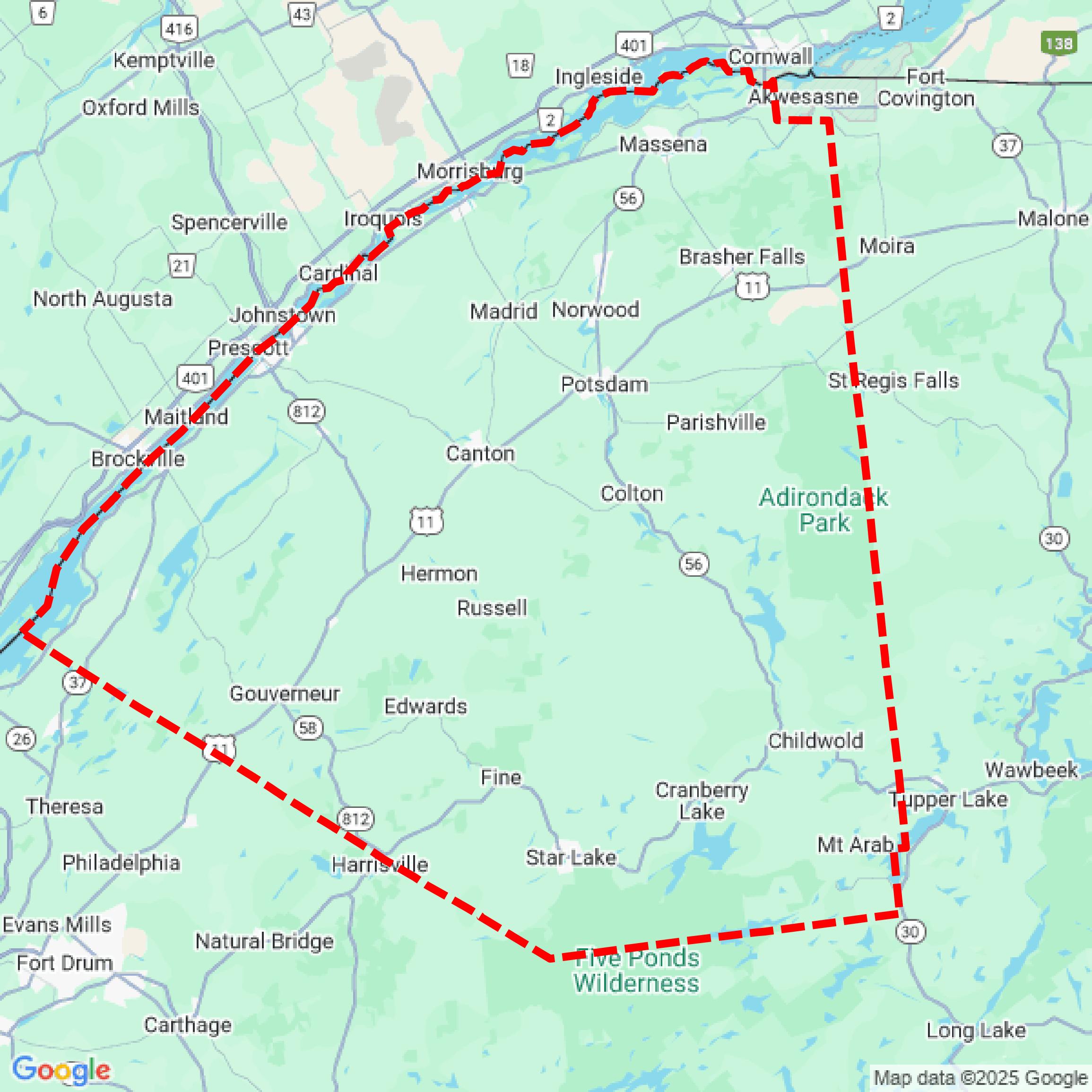

Data Available
Download GIS Data for St. Lawrence County
Parcels and Buildings
This image shows parcel and building data in St. Lawrence County created using GIS data in Equator.
Get Parcels and Buildings for St. Lawrence CountyLiDAR
This image shows a LiDAR point cloud in St. Lawrence County created using GIS data in Equator.
Get LiDAR for St. Lawrence CountyContours
This image shows a contour map in St. Lawrence County created using GIS data in Equator.
Get Contours for St. Lawrence CountyShowcase
Sample GIS Data for St. Lawrence County
Parcels and Buildings
Parcel and building data in St. Lawrence County are used in a variety of fields including architecture, real estate, and urban planning.
Get Parcels and Buildings for St. Lawrence CountyLiDAR
Point clouds (LiDAR) in St. Lawrence County can produce highly accurate 3D models of terrain, structures, and vegetation.
Get LiDAR for St. Lawrence CountyContours
Contours in St. Lawrence County visualize 3D elevations on a 2D surface allowing you to better understand your site.
Get Contours for St. Lawrence County