Overview
Morton County GIS Data - For CAD
Equator helps civil engineering, architecture and consulting firms with the tools to instantly find, process and download accurate LiDAR, contours, parcel data, building footprints, DEMs, point clouds and other GIS data for Morton County in an online web mapping portal.
Morton County GIS Data ->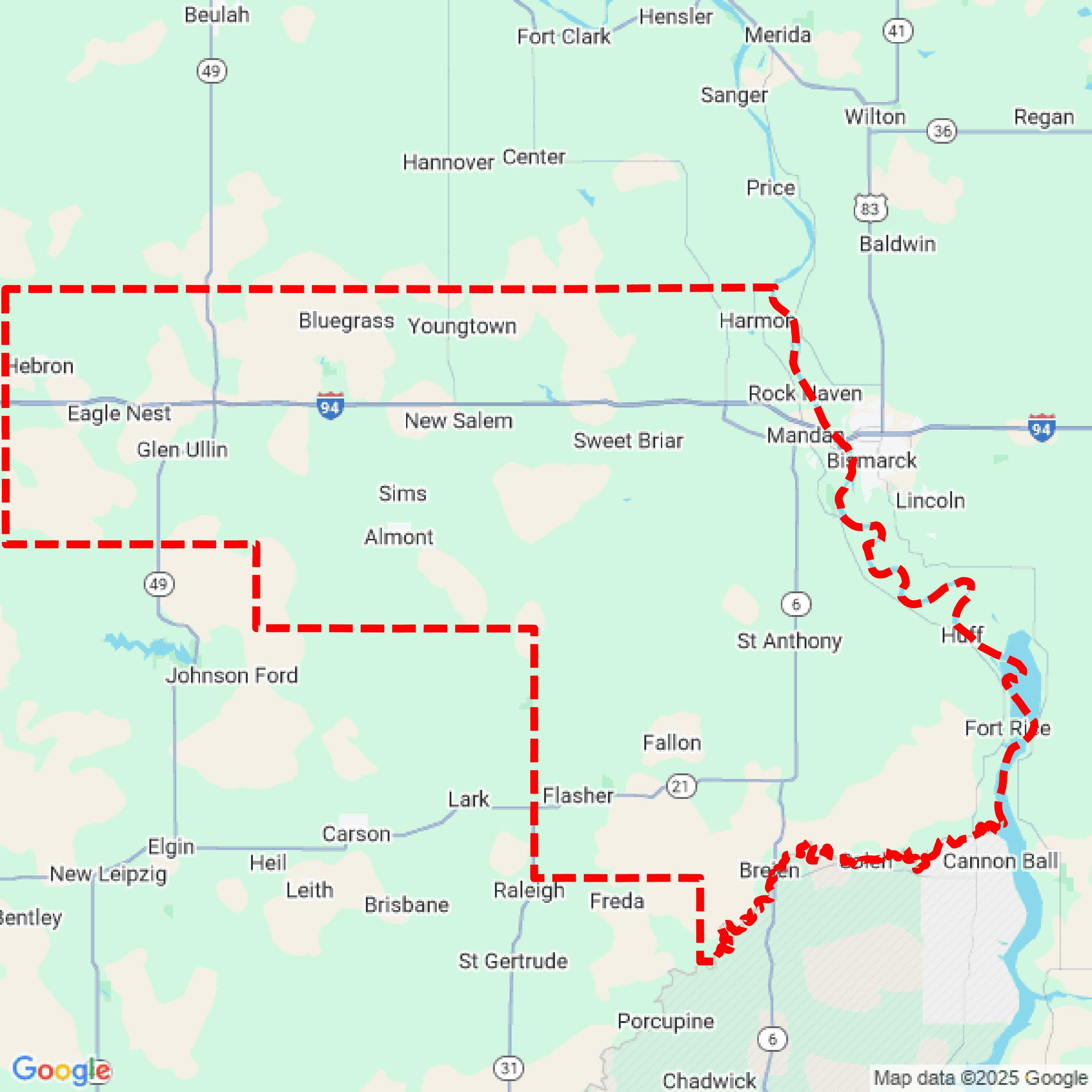

Data Available
Download GIS Data for Morton County

Parcels and Buildings
Parcel and building data in Morton County are used in a variety of fields including architecture, real estate, and urban planning.
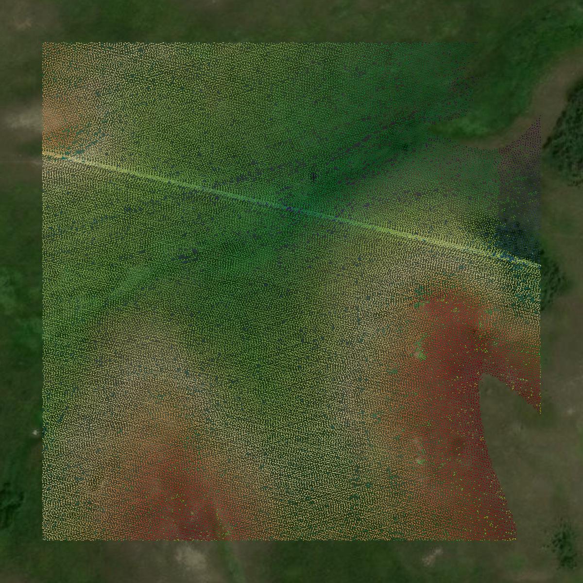
LiDAR
Point clouds (LiDAR) in Morton County can produce highly accurate 3D models of terrain, structures, and vegetation.
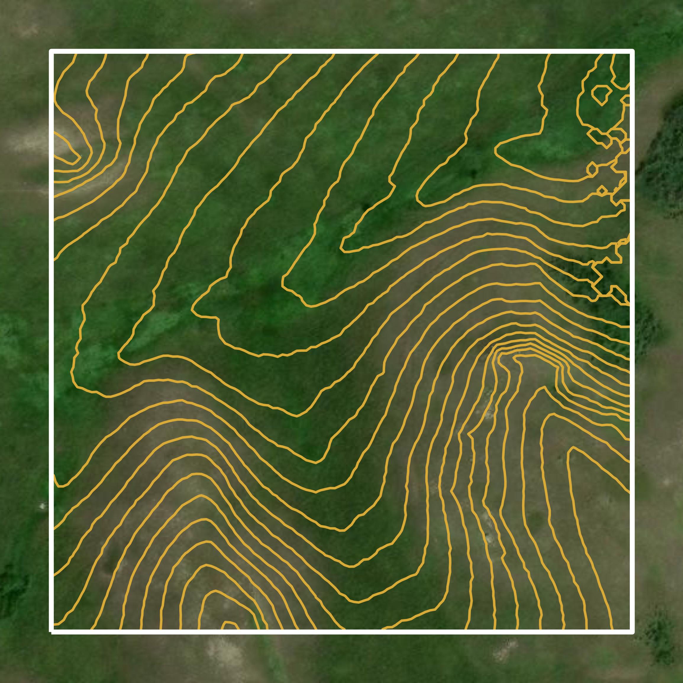
Contours
Contours in Morton County visualize 3D elevations on a 2D surface allowing you to better understand your site.
Formats Available
Export Your Data Ready to Use in Multiple Formats
DWG
AutoCAD Drawing - Industry-standard CAD format
Supported Data:
Contour, Parcel, Building Outline
SHP
Shapefile - Standard GIS vector format
Supported Data:
Contour, Parcel, Building Outline
DXF
Drawing Exchange Format - Universal CAD interchange
Supported Data:
Contour, Building Outline
GeoJSON
Geographic JSON - Web-friendly spatial data format
Supported Data:
Contour, Parcel, Building Outline
LAZ
Compressed LAS - Efficient LiDAR point cloud format
Supported Data:
Point Cloud
SVG
Scalable Vector Graphics - Web vector format
Supported Data:
Contour, Building Outline
GPKG
GeoPackage - Modern OGC spatial database format
Supported Data:
Contour, Parcel, Building Outline
LandXML (Coming Soon)
Land XML - Civil engineering data exchange format
Supported Data:
Point Cloud
TIN (Coming Soon)
Triangulated Irregular Network - 3D surface model
Supported Data:
Point Cloud
XYZ (Coming Soon)
XYZ Point Cloud - Simple ASCII point cloud format
Supported Data:
Point Cloud
Background
GIS Data for Morton County
The webpage for Morton County, North Dakota, provides access to a variety of Geographic Information System (GIS) data and resources. Users can request digital maps and datasets related to county resources, including parcel data, road centerlines, voting precincts, school districts, fire districts, and county parks. Specific datasets available for download include address points, parcels, roads, corporate limits, and taxing districts, among others. The site emphasizes that the data is provided "as is" without warranties regarding accuracy or completeness, placing the responsibility for verification on the user.
Access Morton County GIS Data in Equator →Morton County Portal →