Overview
Pembina County GIS Data - For CAD
Equator helps civil engineering, architecture and consulting firms with the tools to instantly find, process and download accurate LiDAR, contours, parcel data, building footprints, DEMs, point clouds and other GIS data for Pembina County in an online web mapping portal.
Pembina County GIS Data ->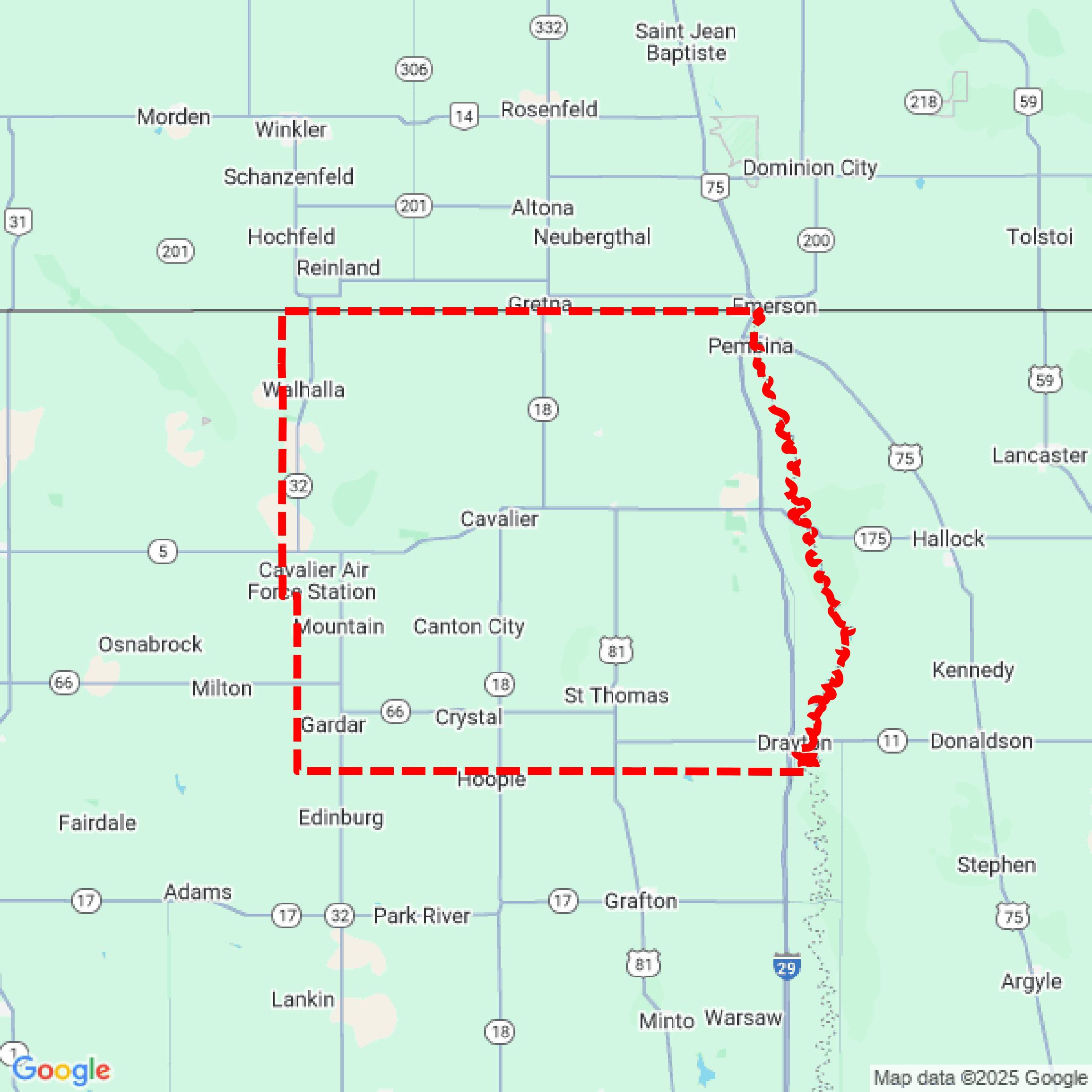

Data Available
Download GIS Data for Pembina County

Parcels and Buildings
This image shows parcel and building data in Pembina County created using GIS data in Equator.

LiDAR
This image shows a LiDAR point cloud in Pembina County created using GIS data in Equator.
Contours
This image shows a contour map in Pembina County created using GIS data in Equator.
Formats Available
Export Your Data Ready to Use in Multiple Formats
DWG
AutoCAD Drawing - Industry-standard CAD format
Supported Data:
Contour, Parcel, Building Outline
SHP
Shapefile - Standard GIS vector format
Supported Data:
Contour, Parcel, Building Outline
DXF
Drawing Exchange Format - Universal CAD interchange
Supported Data:
Contour, Building Outline
GeoJSON
Geographic JSON - Web-friendly spatial data format
Supported Data:
Contour, Parcel, Building Outline
LAZ
Compressed LAS - Efficient LiDAR point cloud format
Supported Data:
Point Cloud
SVG
Scalable Vector Graphics - Web vector format
Supported Data:
Contour, Building Outline
GPKG
GeoPackage - Modern OGC spatial database format
Supported Data:
Contour, Parcel, Building Outline
LandXML (Coming Soon)
Land XML - Civil engineering data exchange format
Supported Data:
Point Cloud
TIN (Coming Soon)
Triangulated Irregular Network - 3D surface model
Supported Data:
Point Cloud
XYZ (Coming Soon)
XYZ Point Cloud - Simple ASCII point cloud format
Supported Data:
Point Cloud
Background
GIS Data for Pembina County
The Pembina County GIS portal provides access to a variety of geographic information system (GIS) datasets and mapping resources. Available content includes parcel data, zoning information, and aerial imagery, which serve as tools for general reference and spatial analysis. The site emphasizes that the data is intended for mapping purposes only and does not guarantee accuracy or completeness. Users are advised that the information should not be relied upon for legal or emergency services. The portal operates under a disclaimer that limits liability for any damages arising from the use of the data.
Access Pembina County GIS Data in Equator →Pembina County Portal →