Overview
Topographic Map of Wisconsin Elevation, Contours & LiDAR Maps in Equator
Explore accurate, interactive topographic maps of Wisconsin with contours, LiDAR, and elevation data. Download or export to CAD instantly with Equator’s online mapping tools.
Get Topo Data for Wisconsin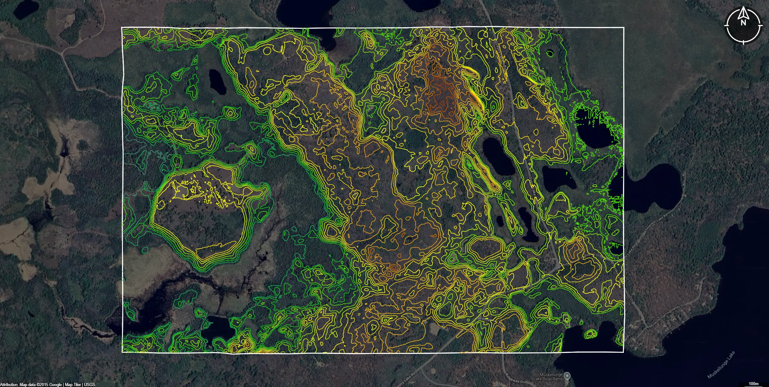
Featured Topographic Data Layers
Download Topographic Data for Wisconsin
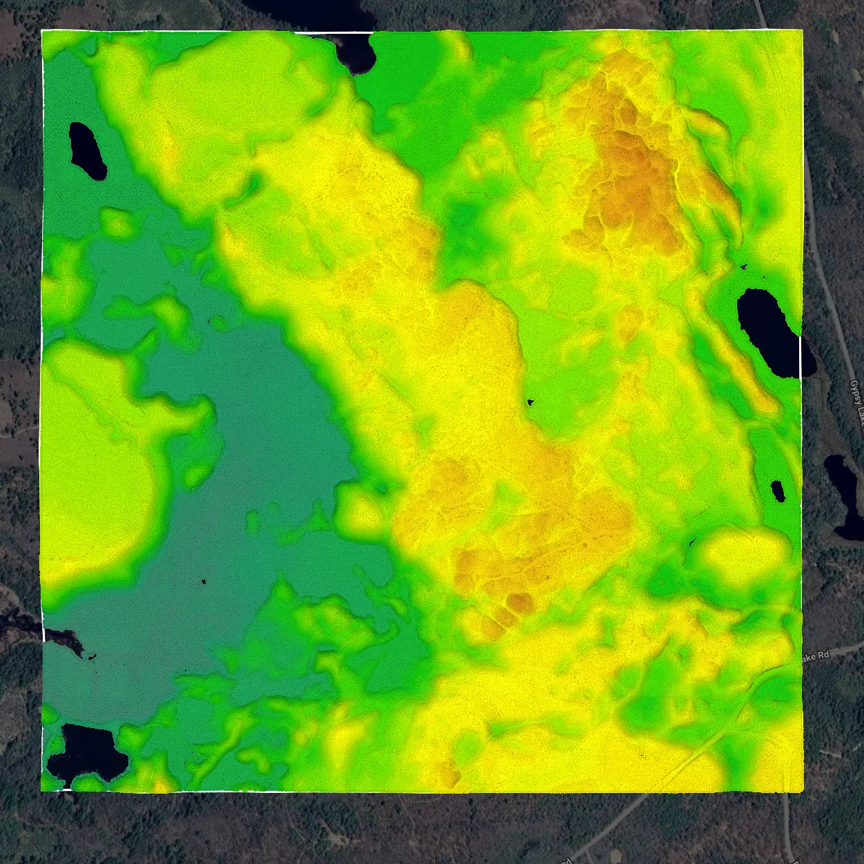
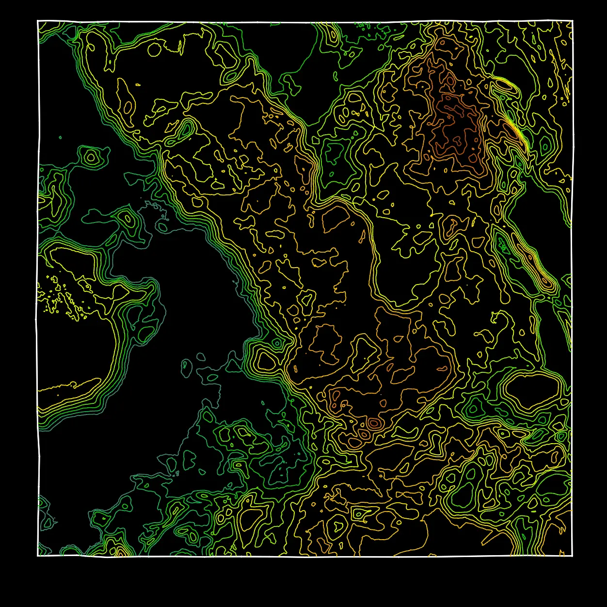
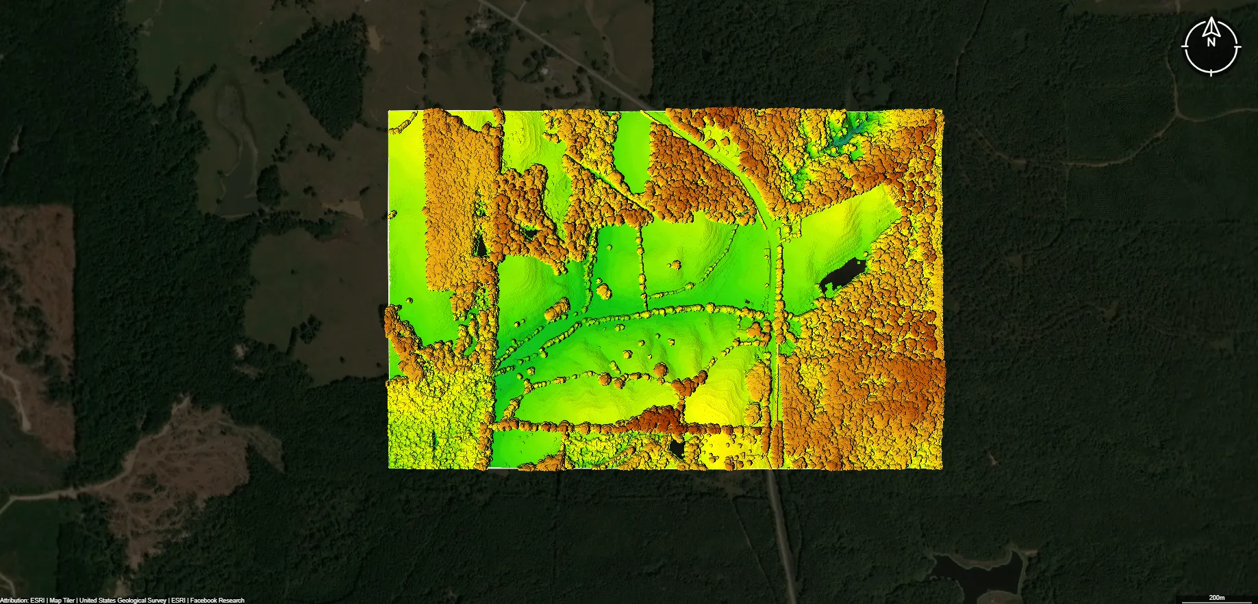
Contours
This image shows Contours data for a site in Wisconsin in Equator.
Get Contours for Wisconsin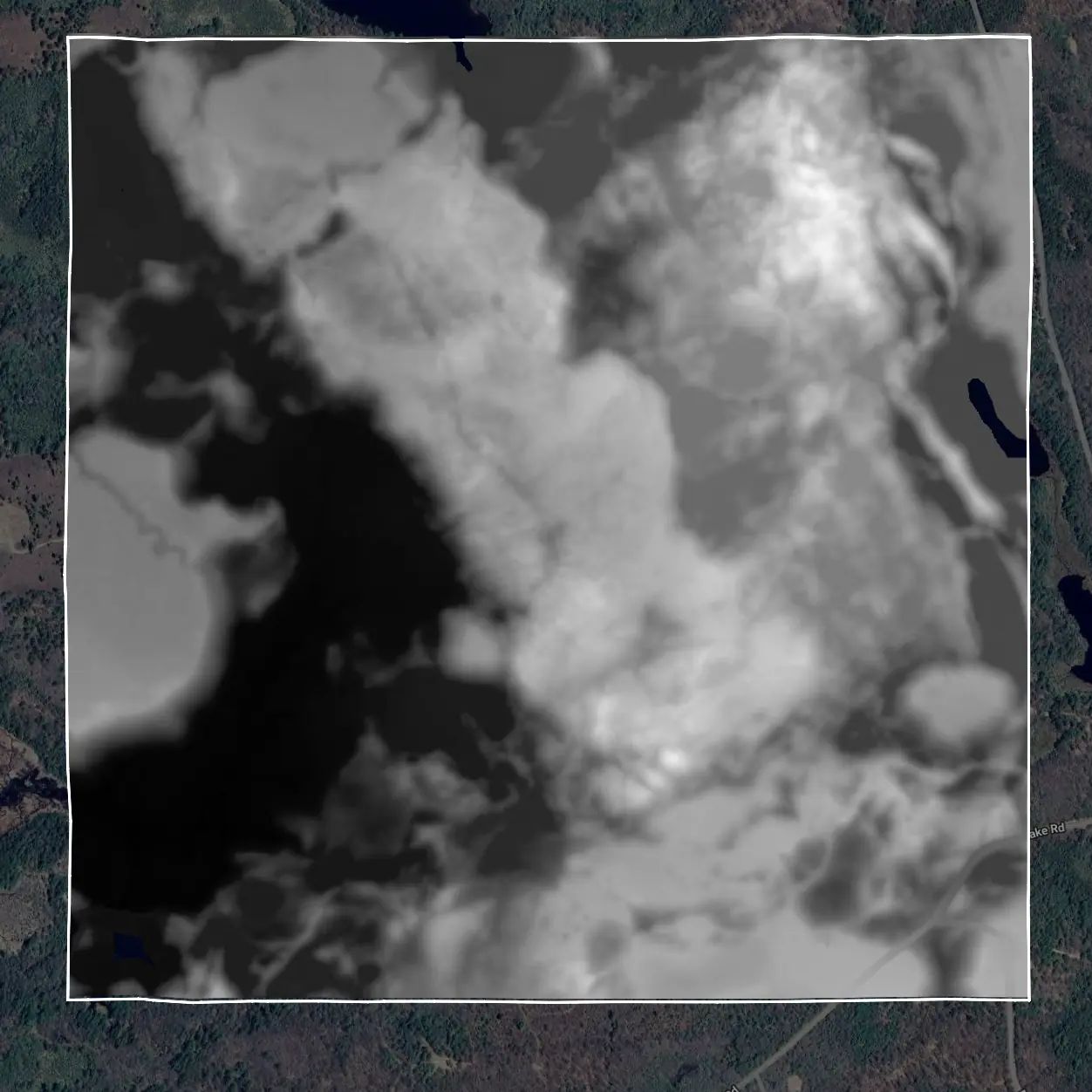
Why access topographic map data in Equator for Wisconsin?
Did you know?
Equator turns massive datasets like building outlines into site‑ready data, instantly. This is why Equator is the go‑to choice for engineers, designers, and architects who need accurate topographic data for Wisconsin.
Fast and Easy
Find, view, clip, and download topographic data in less than a minute, all from your browser.
CAD‑Ready Formats
Export topographic map data in a variety of formats that work with CAD and design software used on your projects in Wisconsin.
Create Contours and DEMs
Automatically generate contours, DEMs, and other elevation products from topographic data, and export them directly to CAD.
Background
Topographic data for Wisconsin
Topographic data in Wisconsin is collected by the United States Geological Survey, the Wisconsin Geological and Natural History Survey, and county geographic information system offices. With contour lines to represent elevation and landforms, these datasets describe areas including the Driftless Area, the Northern Highlands, and the Central Plain. Programs such as the Wisconsin Lidar Initiative and mapping projects from the Wisconsin Department of Natural Resources supply elevation data for civil engineers, environmental planners, hazard analysts, and land use officials.
These datasets guide flood modeling, watershed management, and infrastructure planning. Equator enhances this work by providing a three dimensional terrain environment where users can visualize elevation, evaluate slope and drainage, and collaborate across planning teams.
Access Topo Data in EquatorFormats Available
Export Your Data Ready to Use in Multiple Formats
DWG
AutoCAD Drawing - Industry-standard CAD format
Supported Data:
Contour, Parcel, Building Outline
SHP
Shapefile - Standard GIS vector format
Supported Data:
Contour, Parcel, Building Outline
DXF
Drawing Exchange Format - Universal CAD interchange
Supported Data:
Contour, Building Outline
GeoJSON
Geographic JSON - Web-friendly spatial data format
Supported Data:
Contour, Parcel, Building Outline
LAZ
Compressed LAS - Efficient LiDAR point cloud format
Supported Data:
Point Cloud
SVG
Scalable Vector Graphics - Web vector format
Supported Data:
Contour, Building Outline
GPKG
GeoPackage - Modern OGC spatial database format
Supported Data:
Contour, Parcel, Building Outline
LandXML (Coming Soon)
Land XML - Civil engineering data exchange format
Supported Data:
Point Cloud
TIN (Coming Soon)
Triangulated Irregular Network - 3D surface model
Supported Data:
Point Cloud
XYZ (Coming Soon)
XYZ Point Cloud - Simple ASCII point cloud format
Supported Data:
Point Cloud
Frequently Asked Questions
Where can I download topographic maps for Wisconsin?
You can download topographic maps for Wisconsin from the USGS TopoView or The National Map websites. These platforms provide free access to the latest US Topo maps as well as historical topographic maps. You can also use platforms like Equator to view, download, and export topographic contours or elevation data directly for specific sites in Wisconsin.
Get Topo Data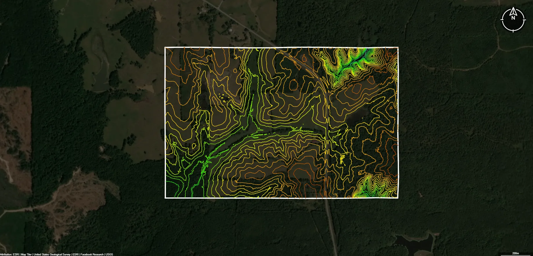
What formats are available for Wisconsin topographic data?
Wisconsin topographic data is typically available in GeoTIFF, KMZ/KML, Shapefile (SHP), PDF, and DWG/DFX formats. These formats are compatible with popular GIS and CAD software such as QGIS, ArcGIS, AutoCAD, and Civil 3D, allowing users to visualize contours, elevation points, and terrain models for mapping or design purposes.
Get Topo Data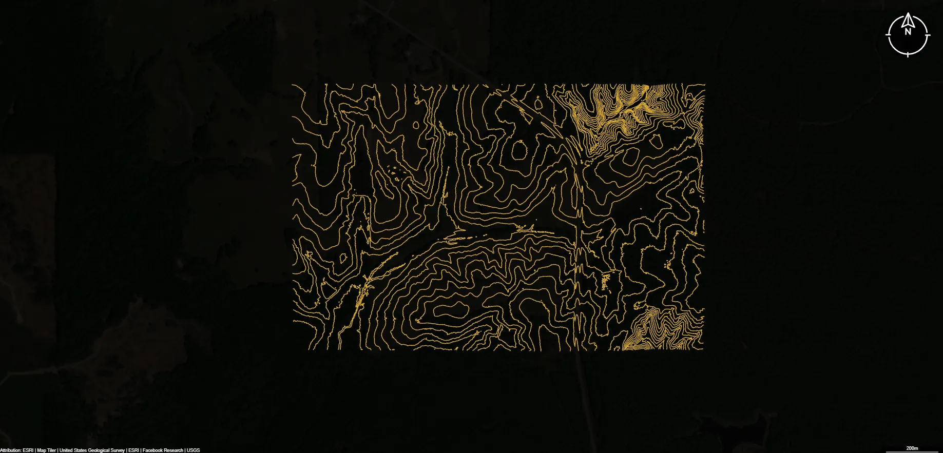
What is the source of Wisconsin's topographic data?
Most official topographic data for Wisconsin is produced and maintained by the U.S. Geological Survey (USGS) through the 3D Elevation Program (3DEP). This program uses high‑resolution LiDAR and other elevation sources to generate accurate contour lines, DEMs, and surface models. Some local agencies also contribute updated LiDAR and elevation data to supplement USGS coverage.
Get Topo Data