Overview
Prince George County GIS Data – For CAD
Equator helps civil engineering, architecture and consulting firms with the tools to instantly find, process and download accurate LiDAR, contours, parcel data, building footprints, DEMs, point clouds and other GIS data for Prince George County in an online web mapping portal.
Prince George County GIS Data →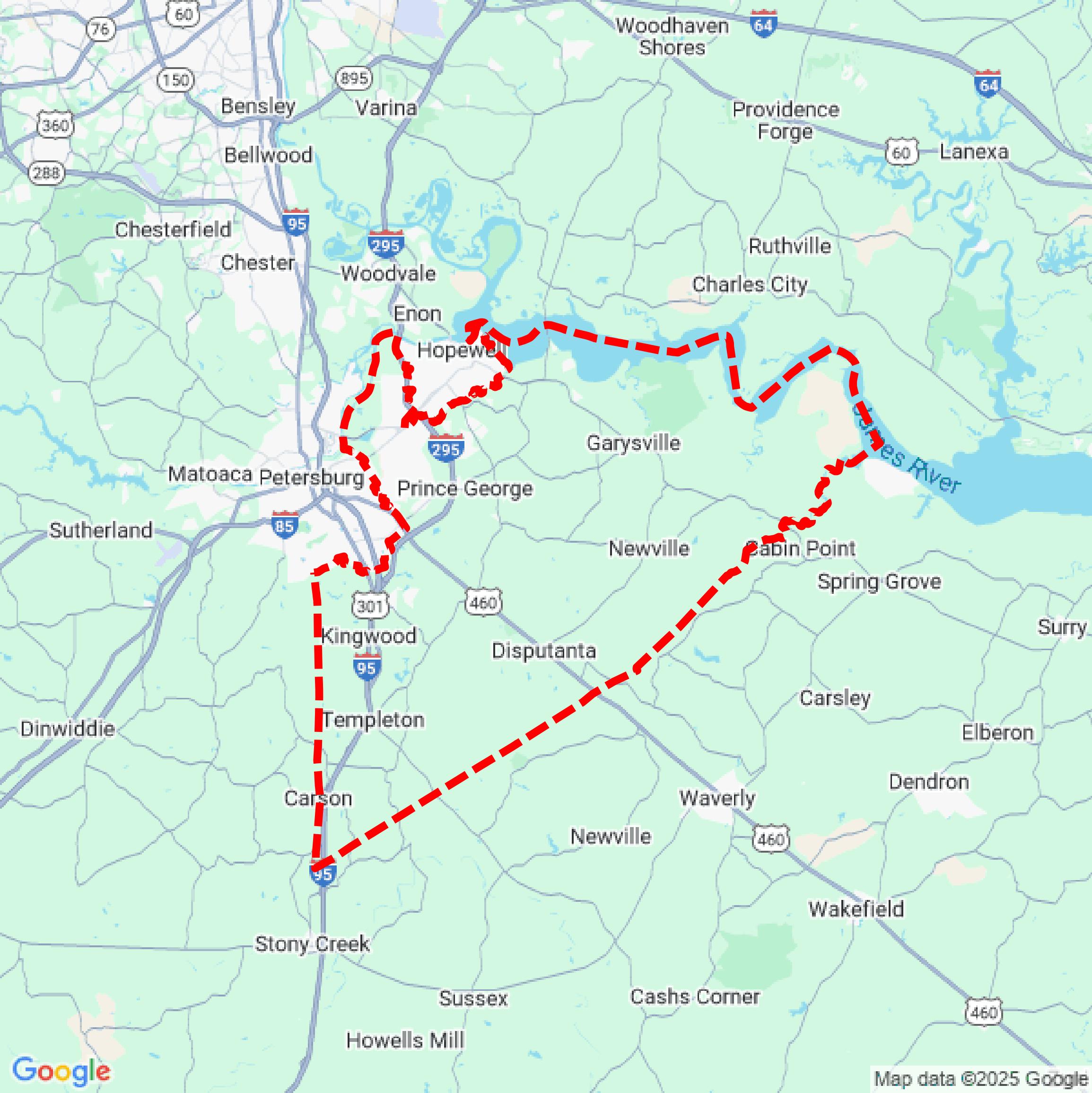

Data Available
Download GIS Data for Prince George County
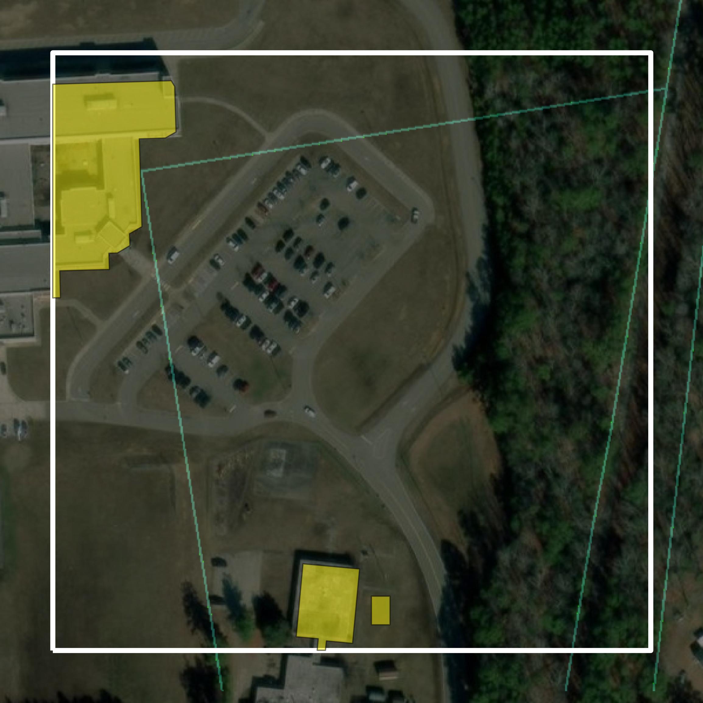
Parcels and Buildings
This image shows parcel and building data in Prince George County created using GIS data in Equator.
Get Parcels and Buildings for Prince George County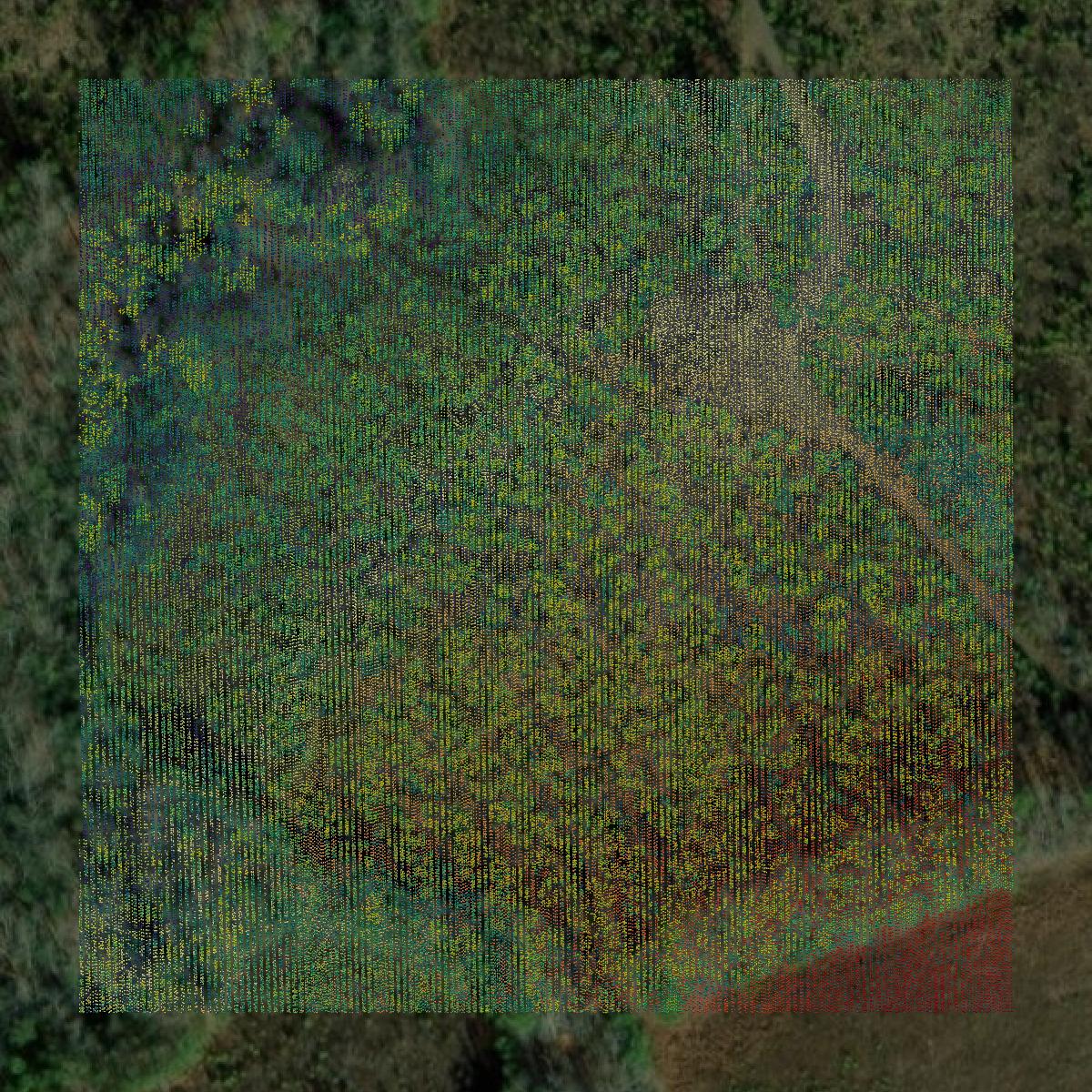
LiDAR
This image shows a LiDAR point cloud in Prince George County created using GIS data in Equator.
Get LiDAR for Prince George County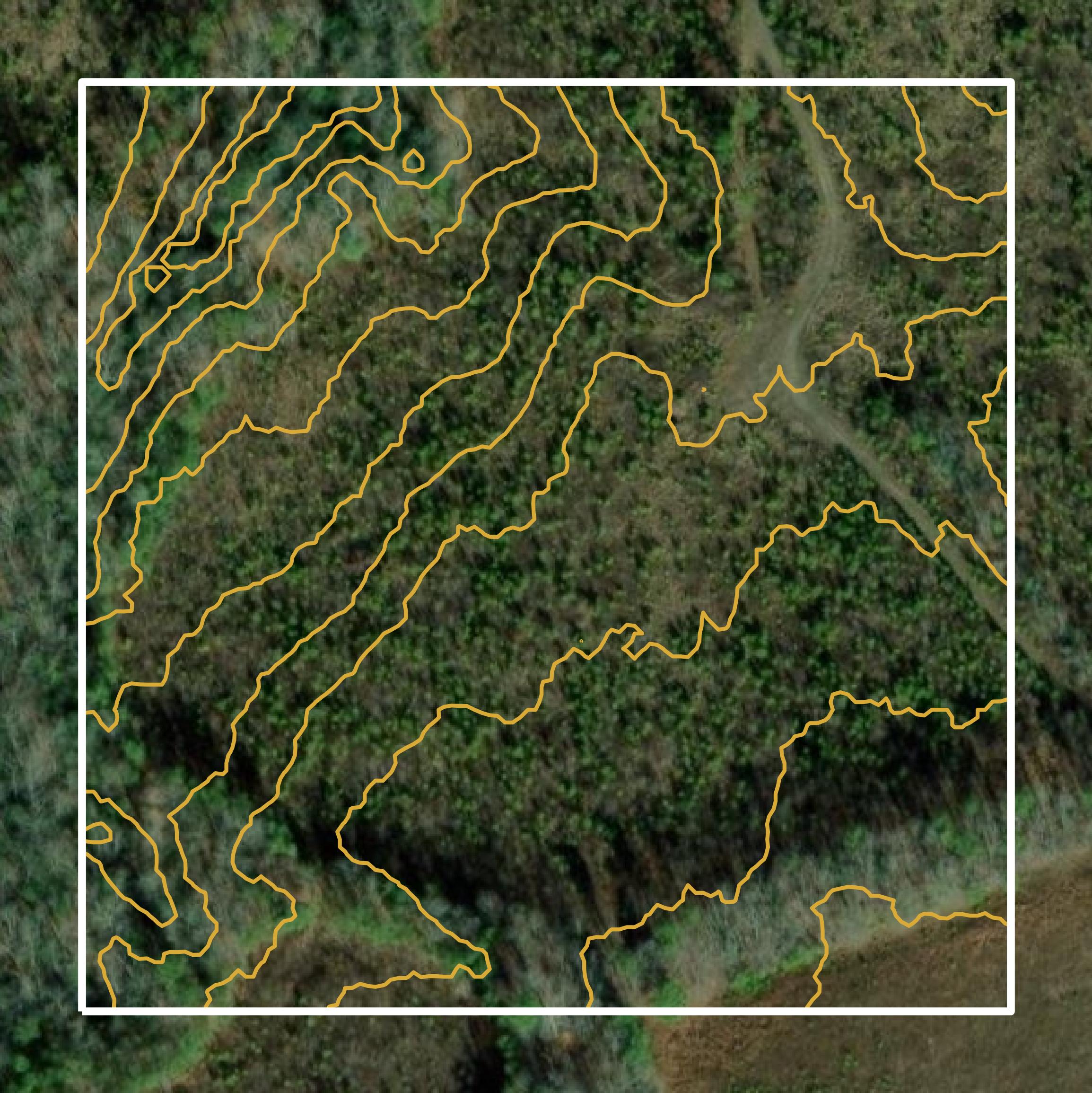
Contours
This image shows a contour map in Prince George County created using GIS data in Equator.
Get Contours for Prince George CountyFormats Available
Export Your Data Ready to Use in Multiple Formats
DWG
AutoCAD Drawing - Industry-standard CAD format
Supported Data:
Contour, Parcel, Building Outline
SHP
Shapefile - Standard GIS vector format
Supported Data:
Contour, Parcel, Building Outline
DXF
Drawing Exchange Format - Universal CAD interchange
Supported Data:
Contour, Building Outline
GeoJSON
Geographic JSON - Web-friendly spatial data format
Supported Data:
Contour, Parcel, Building Outline
LAZ
Compressed LAS - Efficient LiDAR point cloud format
Supported Data:
Point Cloud
SVG
Scalable Vector Graphics - Web vector format
Supported Data:
Contour, Building Outline
GPKG (Coming Soon)
GeoPackage - Modern OGC spatial database format
Supported Data:
Contour, Parcel, Building Outline
LandXML (Coming Soon)
Land XML - Civil engineering data exchange format
Supported Data:
Point Cloud
TIN (Coming Soon)
Triangulated Irregular Network - 3D surface model
Supported Data:
Point Cloud
XYZ (Coming Soon)
XYZ Point Cloud - Simple ASCII point cloud format
Supported Data:
Point Cloud
Background
GIS Data for Prince George County
The webpage for Prince George County, Virginia, primarily focuses on providing information about state and federal legislators representing the county. It lists contact details for officials in the Virginia House of Delegates and Senate, as well as members of the U.S. House of Representatives and Senate. While the page does not specifically highlight GIS datasets or spatial data resources, it is part of a broader government portal that may include links to GIS-related content elsewhere, such as parcel data, zoning information, and interactive maps. For detailed GIS resources, users may need to explore other sections of the county's official website.
Access Prince George County GIS Data in Equator →Prince George County Portal →Showcase
Sample GIS Data for Prince George County
Parcels and Buildings
Parcel and building data in Prince George County are used in a variety of fields including architecture, real estate, and urban planning.
Get Parcels and Buildings for Prince George County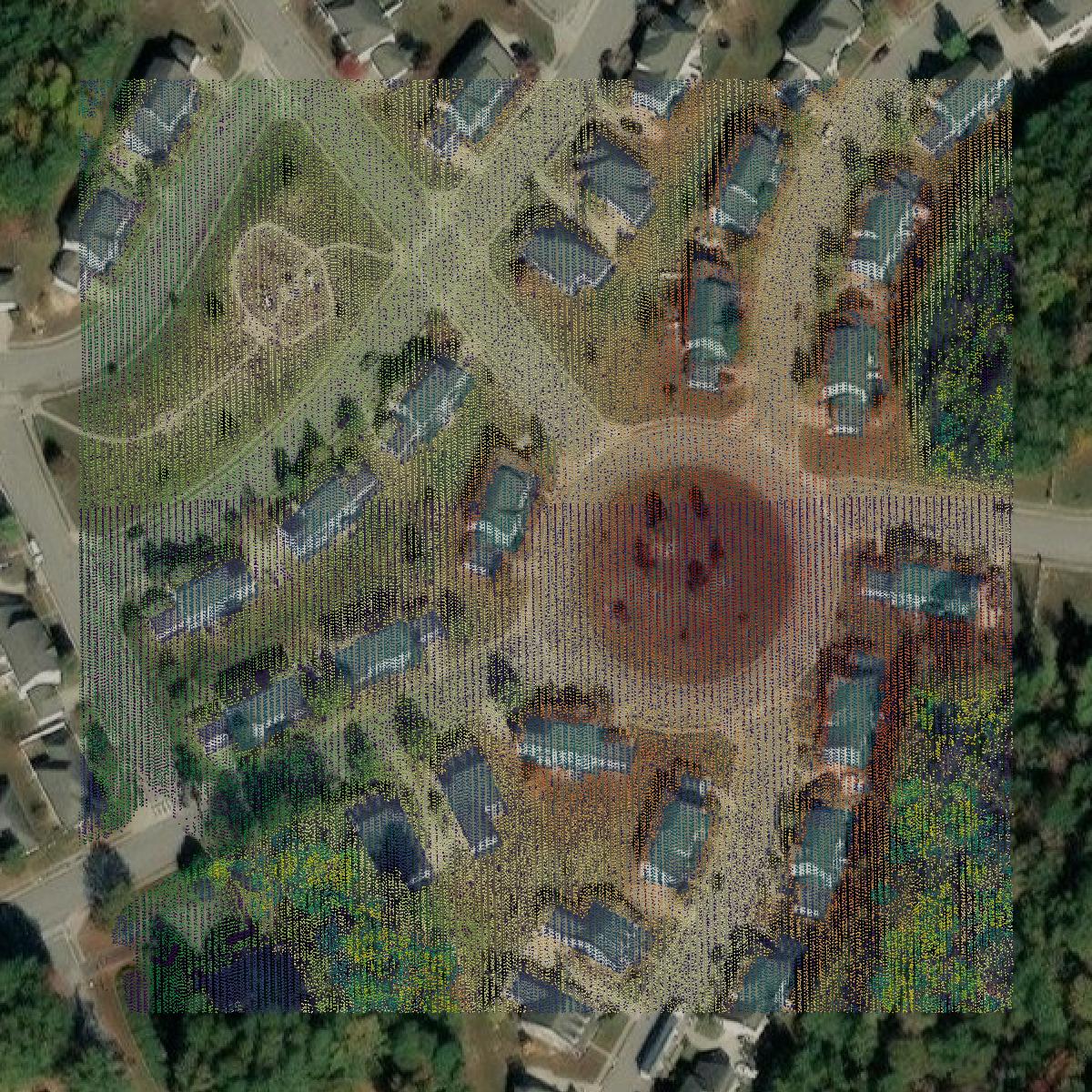
LiDAR
Point clouds (LiDAR) in Prince George County can produce highly accurate 3D models of terrain, structures, and vegetation.
Get LiDAR for Prince George County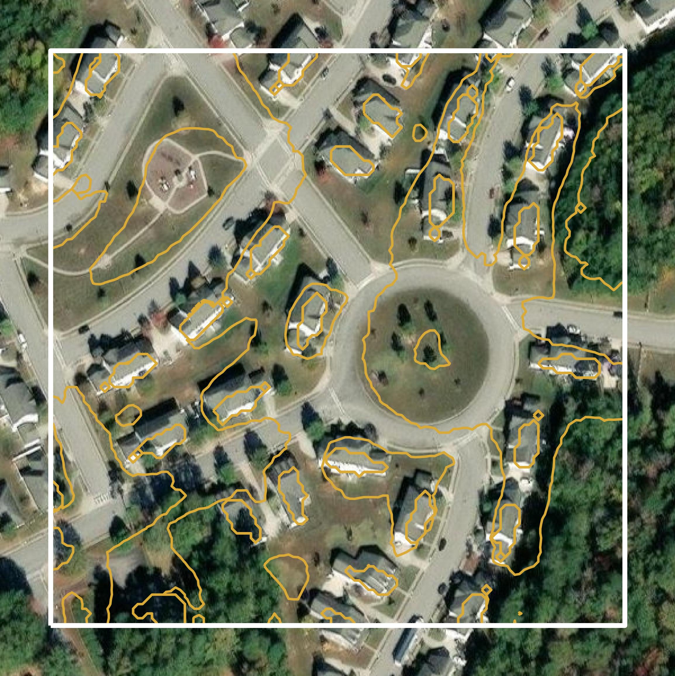
Contours
Contours in Prince George County visualize 3D elevations on a 2D surface allowing you to better understand your site.
Get Contours for Prince George County