Overview
Wood County GIS Data – For CAD
Equator helps civil engineering, architecture and consulting firms with the tools to instantly find, process and download accurate LiDAR, contours, parcel data, building footprints, DEMs, point clouds and other GIS data for Wood County in an online web mapping portal.
Wood County GIS Data →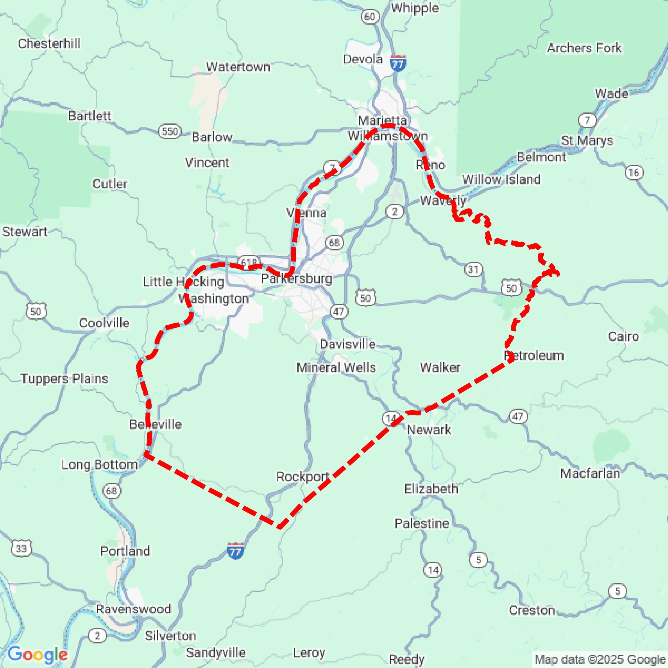

Data Available
Download GIS Data for Wood County
Parcels and Buildings
This image shows parcel and building data in Wood County created using GIS data in Equator.
Get Parcels and Buildings for Wood CountyLiDAR
This image shows a LiDAR point cloud in Wood County created using GIS data in Equator.
Get LiDAR for Wood CountyContours
This image shows a contour map in Wood County created using GIS data in Equator.
Get Contours for Wood CountyFormats Available
Export Your Data Ready to Use in Multiple Formats
DWG
AutoCAD Drawing - Industry-standard CAD format
Supported Data:
Contour, Parcel, Building Outline
SHP
Shapefile - Standard GIS vector format
Supported Data:
Contour, Parcel, Building Outline
DXF
Drawing Exchange Format - Universal CAD interchange
Supported Data:
Contour, Building Outline
GeoJSON
Geographic JSON - Web-friendly spatial data format
Supported Data:
Contour, Parcel, Building Outline
LAZ
Compressed LAS - Efficient LiDAR point cloud format
Supported Data:
Point Cloud
SVG
Scalable Vector Graphics - Web vector format
Supported Data:
Contour, Building Outline
GPKG (Coming Soon)
GeoPackage - Modern OGC spatial database format
Supported Data:
Contour, Parcel, Building Outline
LandXML (Coming Soon)
Land XML - Civil engineering data exchange format
Supported Data:
Point Cloud
TIN (Coming Soon)
Triangulated Irregular Network - 3D surface model
Supported Data:
Point Cloud
XYZ (Coming Soon)
XYZ Point Cloud - Simple ASCII point cloud format
Supported Data:
Point Cloud
Background
GIS Data for Wood County
The Wood County, West Virginia online services research page provides access to a variety of GIS datasets and mapping tools. Available resources include interactive tax maps that display property lines, lot dimensions, road rights-of-way, flood zones, and voting precincts, all enhanced with high-resolution aerial imagery. Additional tools allow for tax inquiries, assessment inquiries detailing property values, and card file lookups for ownership information. Document inquiries enable users to search and view recorded documents, with some access restrictions for privacy.
Access Wood County GIS Data in Equator →Wood County Portal →Showcase
Sample GIS Data for Wood County
Parcels and Buildings
Parcel and building data in Wood County are used in a variety of fields including architecture, real estate, and urban planning.
Get Parcels and Buildings for Wood CountyLiDAR
Point clouds (LiDAR) in Wood County can produce highly accurate 3D models of terrain, structures, and vegetation.
Get LiDAR for Wood CountyContours
Contours in Wood County visualize 3D elevations on a 2D surface allowing you to better understand your site.
Get Contours for Wood County