Overview
El Paso County GIS Data – For CAD
Equator helps civil engineering, architecture and consulting firms with the tools to instantly find, process and download accurate LiDAR, contours, parcel data, building footprints, DEMs, point clouds and other GIS data for El Paso County in an online web mapping portal.
El Paso County GIS Data →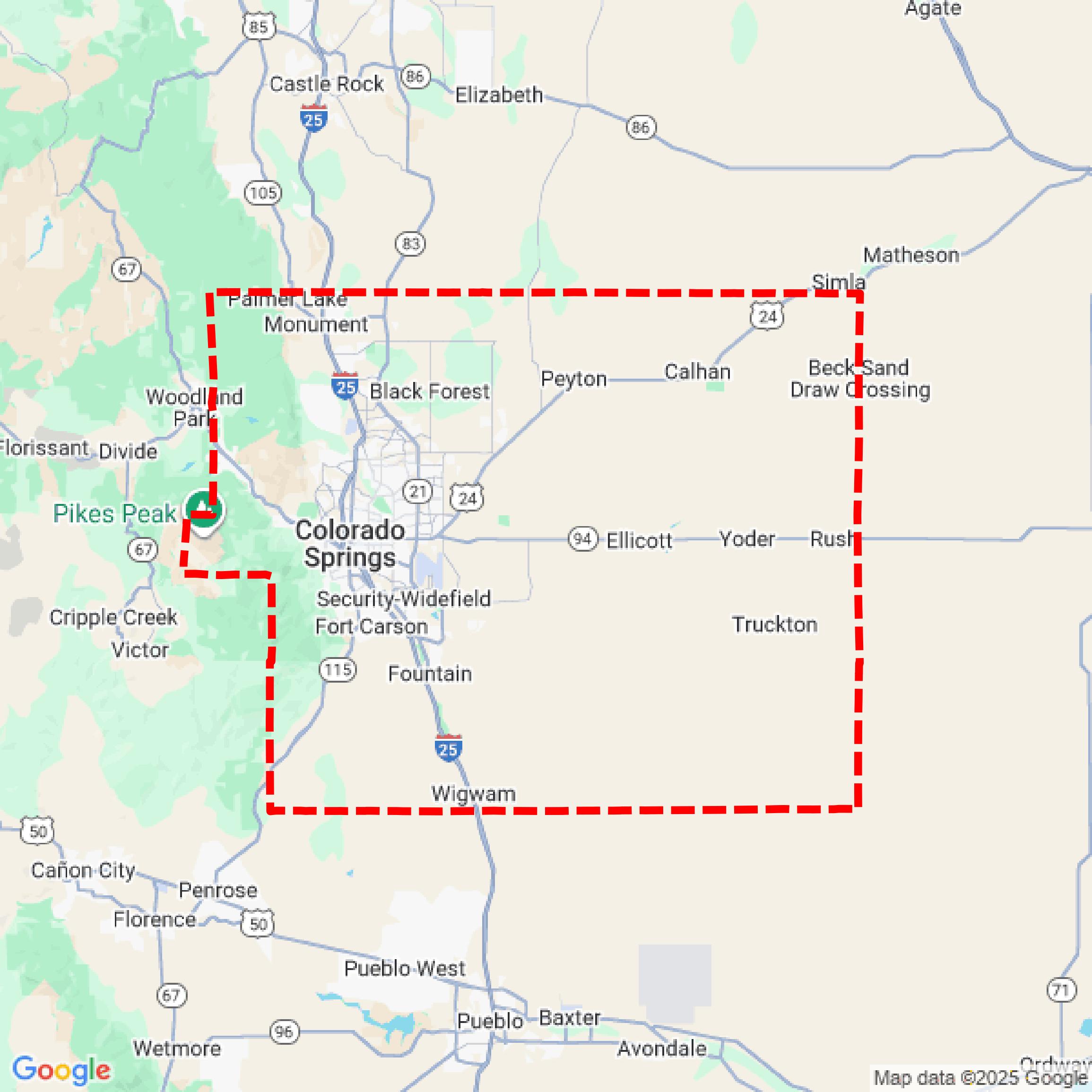

Data Available
Download GIS Data for El Paso County
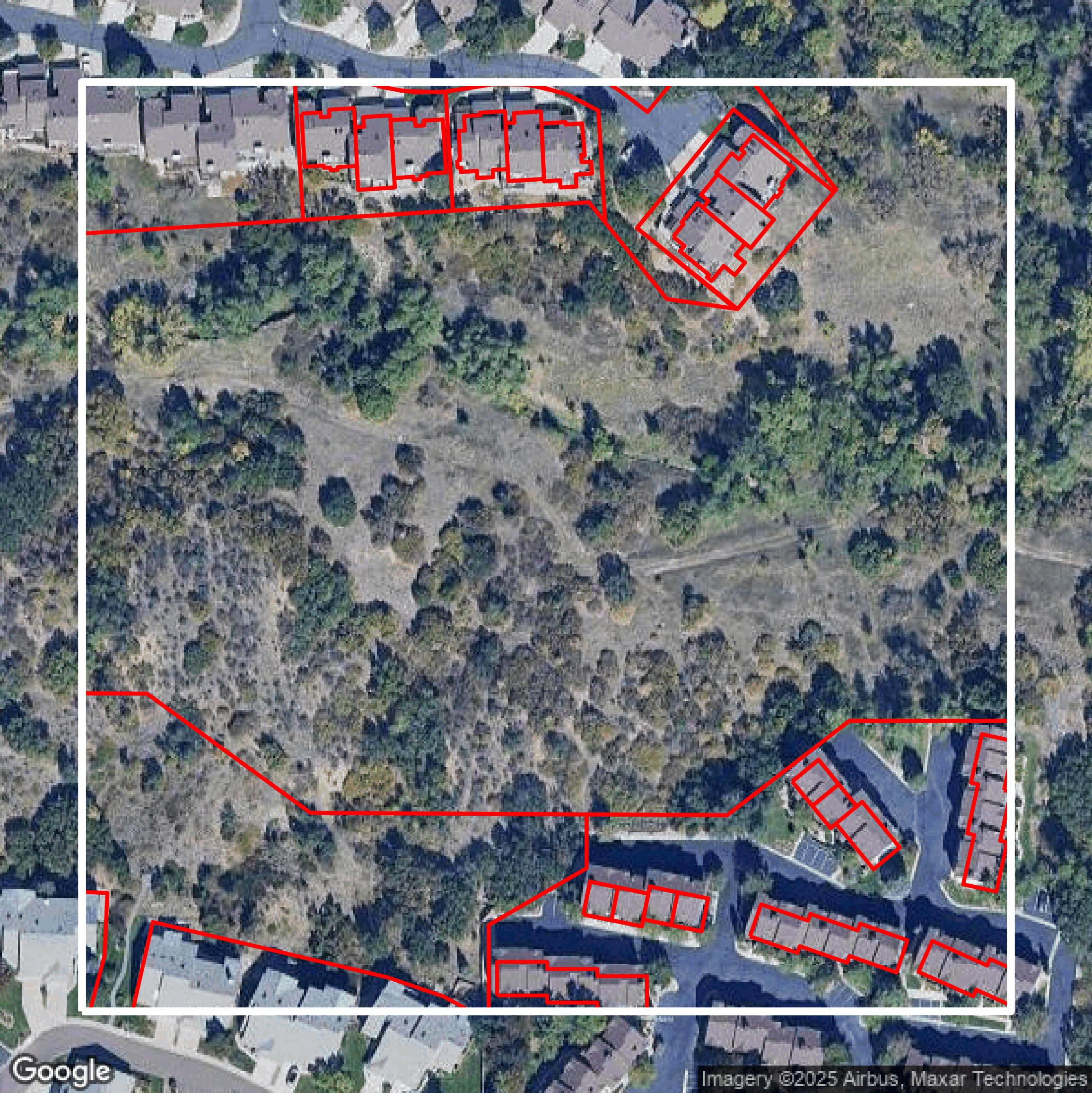
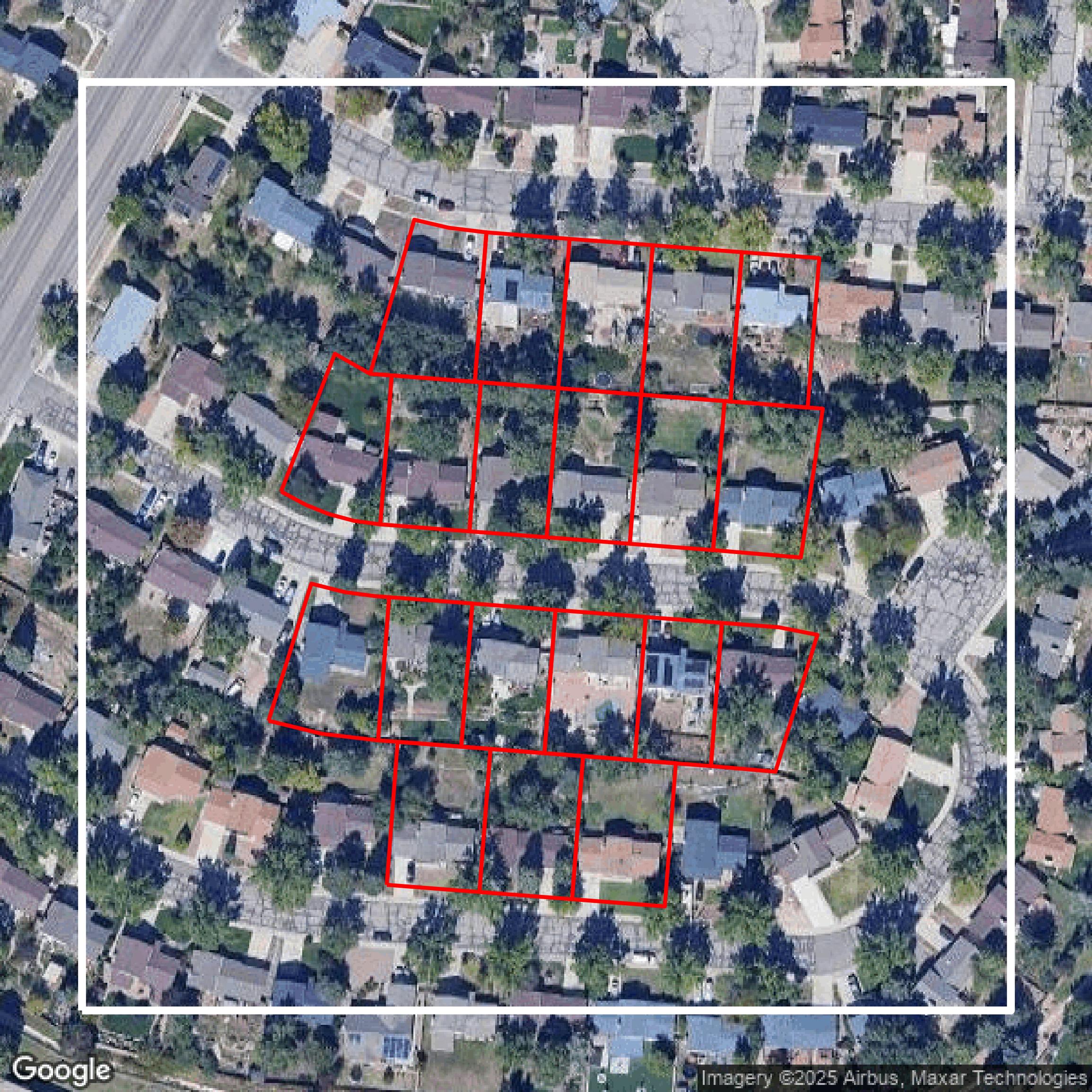
Parcels and Buildings
This image shows parcel and building data in El Paso County created using GIS data in Equator.
Get Parcels and Buildings for El Paso County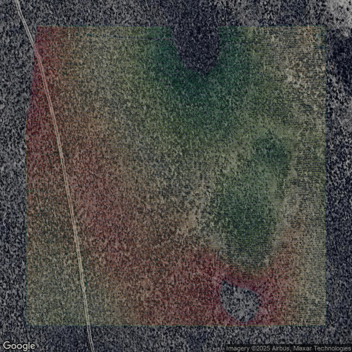
LiDAR
This image shows a LiDAR point cloud in El Paso County created using GIS data in Equator.
Get LiDAR for El Paso County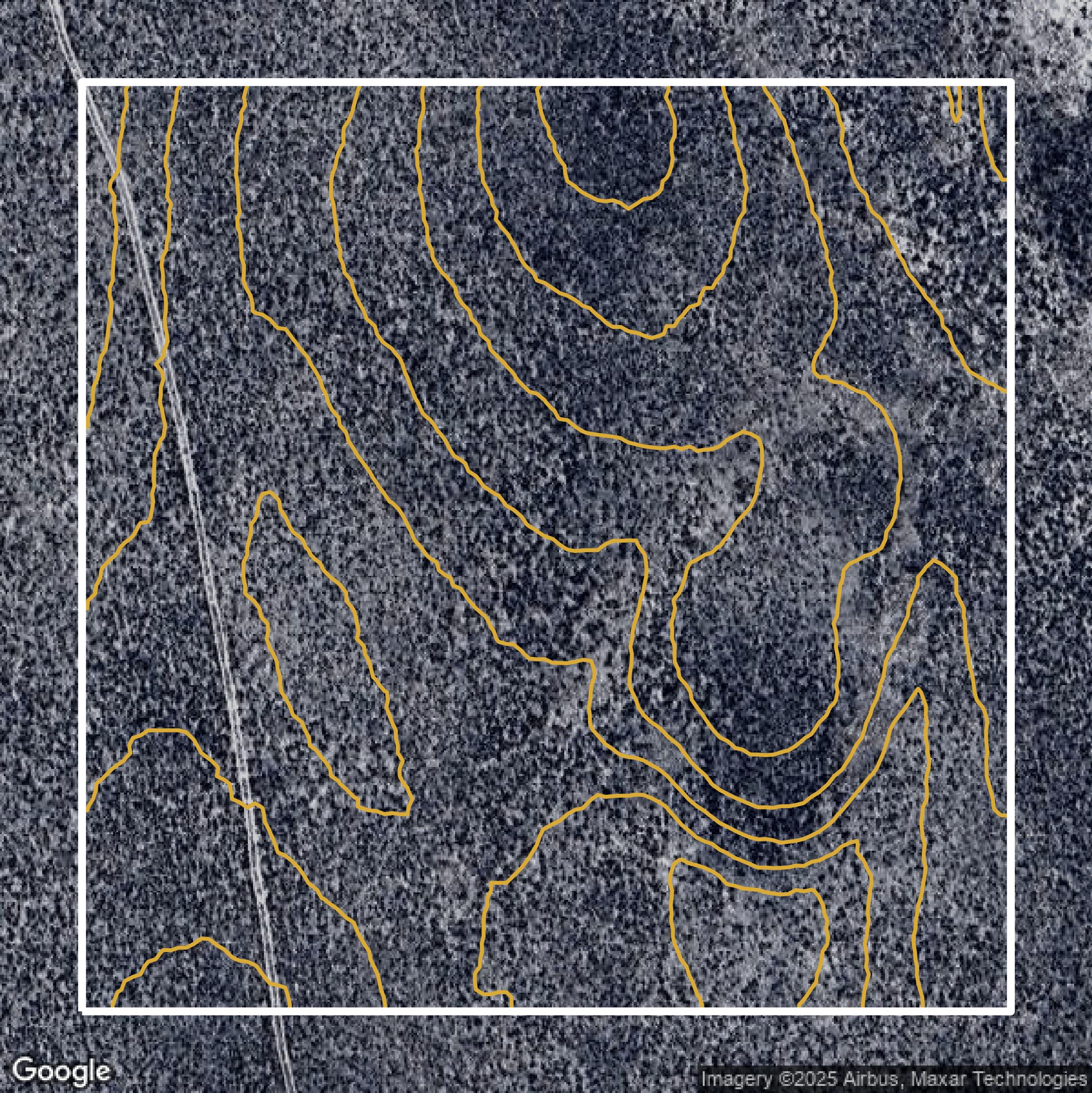
Contours
This image shows a contour map in El Paso County created using GIS data in Equator.
Get Contours for El Paso CountyFormats Available
Export Your Data Ready to Use in Multiple Formats
DWG
AutoCAD Drawing - Industry-standard CAD format
Supported Data:
Contour, Parcel, Building Outline
SHP
Shapefile - Standard GIS vector format
Supported Data:
Contour, Parcel, Building Outline
DXF
Drawing Exchange Format - Universal CAD interchange
Supported Data:
Contour, Building Outline
GeoJSON
Geographic JSON - Web-friendly spatial data format
Supported Data:
Contour, Parcel, Building Outline
LAZ
Compressed LAS - Efficient LiDAR point cloud format
Supported Data:
Point Cloud
SVG
Scalable Vector Graphics - Web vector format
Supported Data:
Contour, Building Outline
GPKG (Coming Soon)
GeoPackage - Modern OGC spatial database format
Supported Data:
Contour, Parcel, Building Outline
LandXML (Coming Soon)
Land XML - Civil engineering data exchange format
Supported Data:
Point Cloud
TIN (Coming Soon)
Triangulated Irregular Network - 3D surface model
Supported Data:
Point Cloud
XYZ (Coming Soon)
XYZ Point Cloud - Simple ASCII point cloud format
Supported Data:
Point Cloud
Background
GIS Data for El Paso County
On the El Paso County Licensed GIS Data website, visitors can expect access to critical geographic information system datasets considered significant County assets, available under a County license policy designed to share valuable geographic data while recovering costs. Key data offerings include the latest aerial photography (spring and summer 2024) available in varying 6-inch and 1-foot resolutions, with historical aerial imagery dating back to 2003, delivered in 4000’ x 4000’ tiles priced per tile license for three years. Elevation contour features derived from 2011 LiDAR Bare Earth data are offered at 2-foot intervals, also licensed per tile. The website provides direct links to view “Aerial Tiles” and “Contour Tiles” on ArcGIS online, alongside comprehensive resources and tools covering Property & Land (including Assessor information, Land Development Applications (EDARP), Land Development Code, Master Plan, Property Taxes, and Tax Entity Maps), Services & Resources (offering Business Incentives, Community Initiatives like the American Rescue Plan Act (ARPA), Environmental Services, Facilities Map, Housing Resources, and various Licenses & Documents), Roads & Transportation (including Gravel Roads, Road Projects, Pavement Quality, and Snow & Ice Control), Family, Child & Adult Services, Safety & Law departments, and governance through Board of Commissioners links. Visitors can expect an integrated platform combining authoritative GIS datasets with county services, maps, and documents to support informed decision-making, planning, and public access to essential geographic and administrative information.
Access El Paso County GIS Data in Equator →El Paso County Portal →Showcase
Sample GIS Data for El Paso County
Parcels and Buildings
Parcel and building data in El Paso County are used in a variety of fields including architecture, real estate, and urban planning.
Get Parcels and Buildings for El Paso County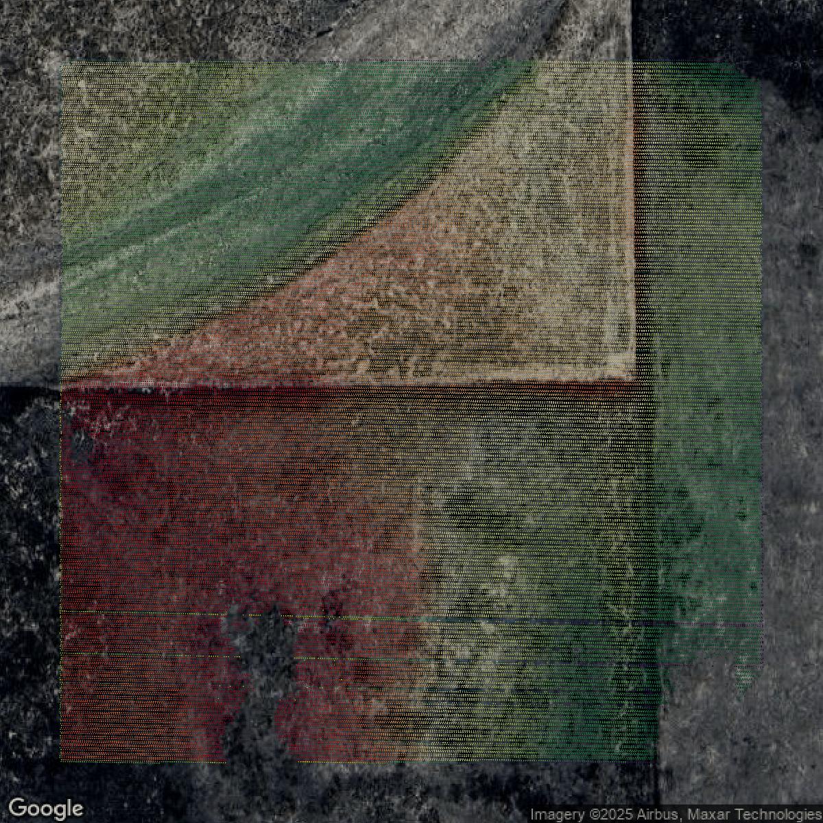
LiDAR
Point clouds (LiDAR) in El Paso County can produce highly accurate 3D models of terrain, structures, and vegetation.
Get LiDAR for El Paso County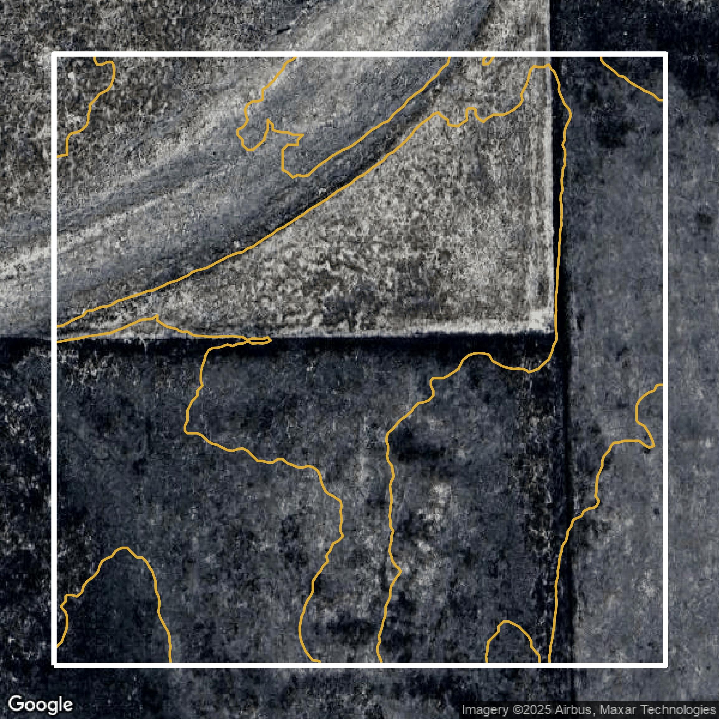
Contours
Contours in El Paso County visualize 3D elevations on a 2D surface allowing you to better understand your site.
Get Contours for El Paso County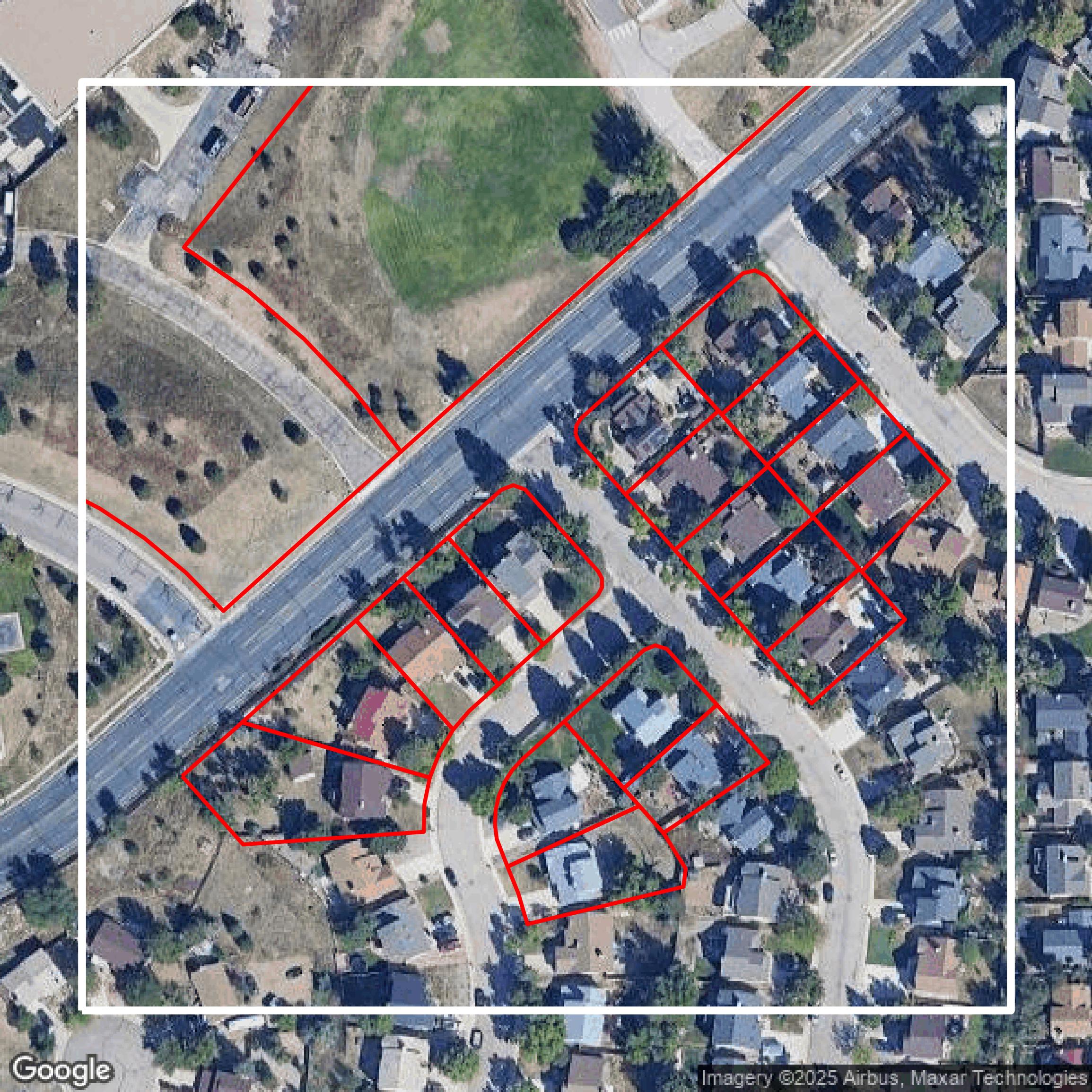
Parcels and Buildings
Accessing El Paso County parcel and building data on Equator gives you access to coverage across the US.
Get Parcels and Buildings for El Paso County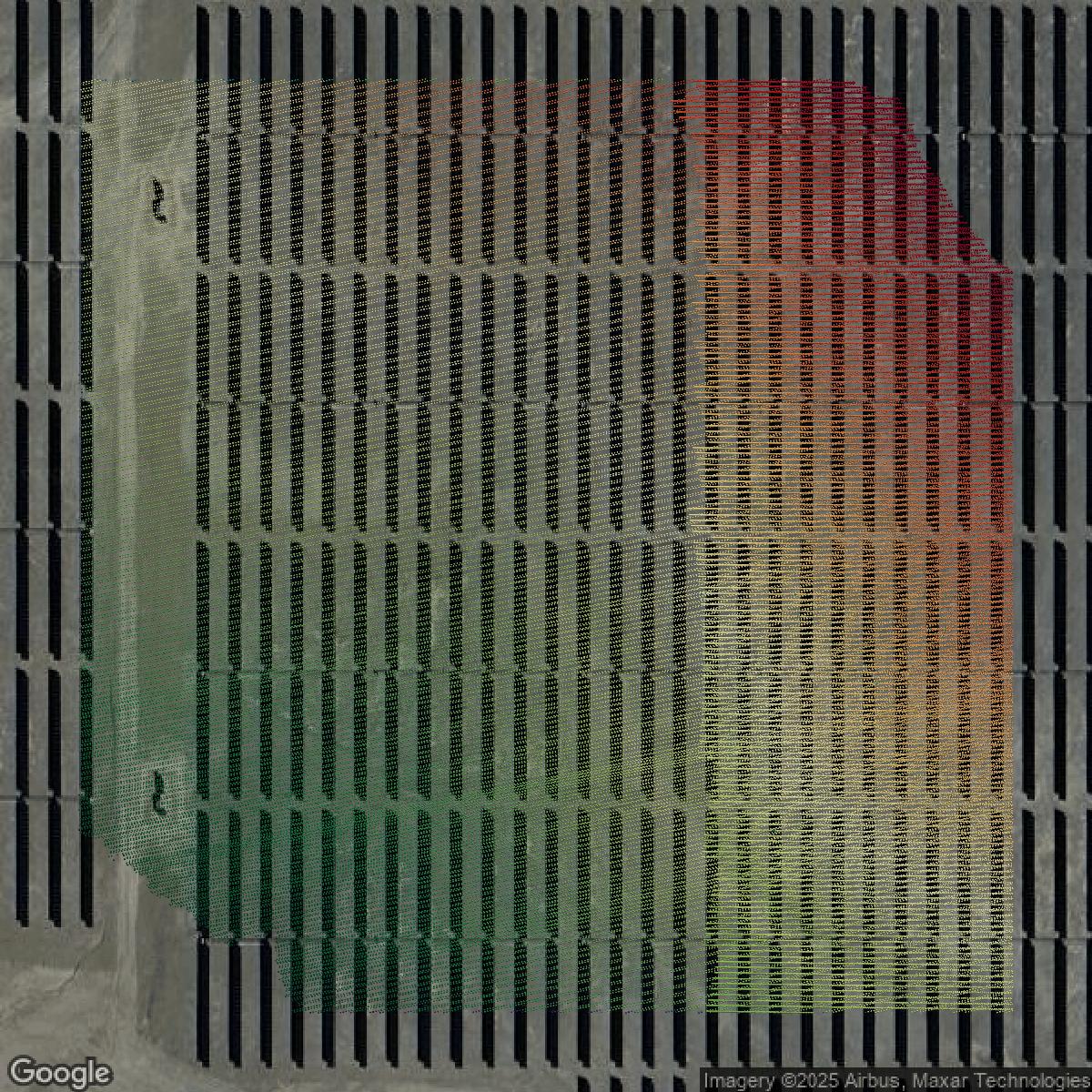
LiDAR
El Paso County LiDAR uses include land surveying, analyzing crop health, or even archaeological studies.
Get LiDAR for El Paso County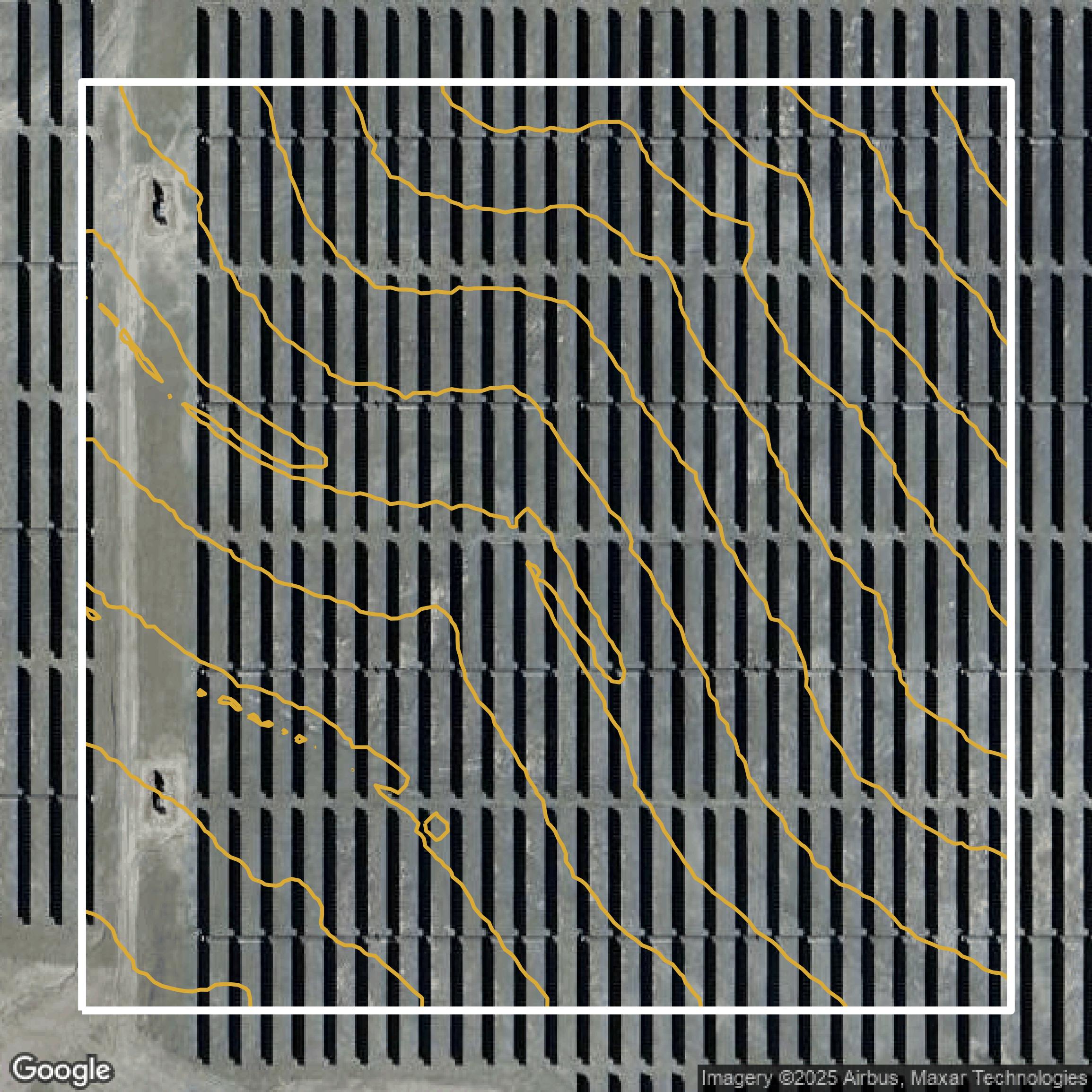
Contours
El Paso County contours can be used for construction & engineering, environmental science, and more.
Get Contours for El Paso County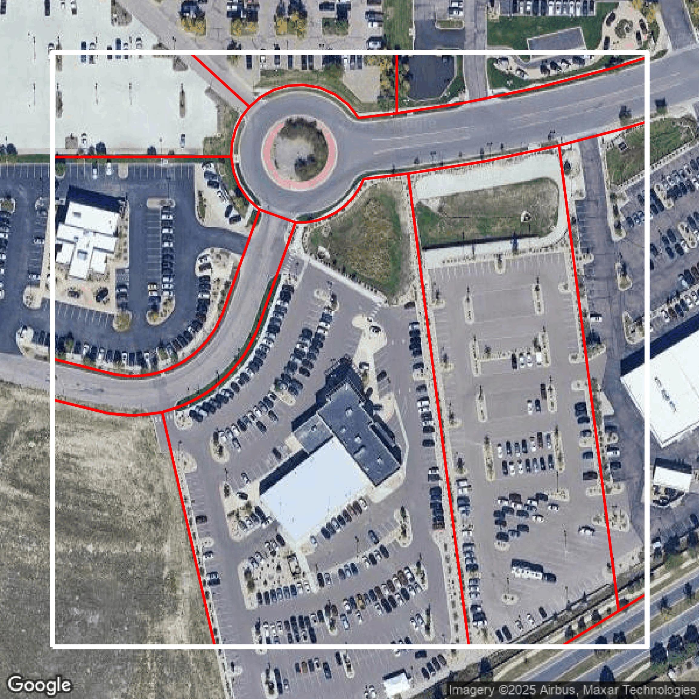
Parcels and Buildings
Dozens of fields are contained within each El Paso County parcel and building data, including zoning, owners, and year built.
Get Parcels and Buildings for El Paso County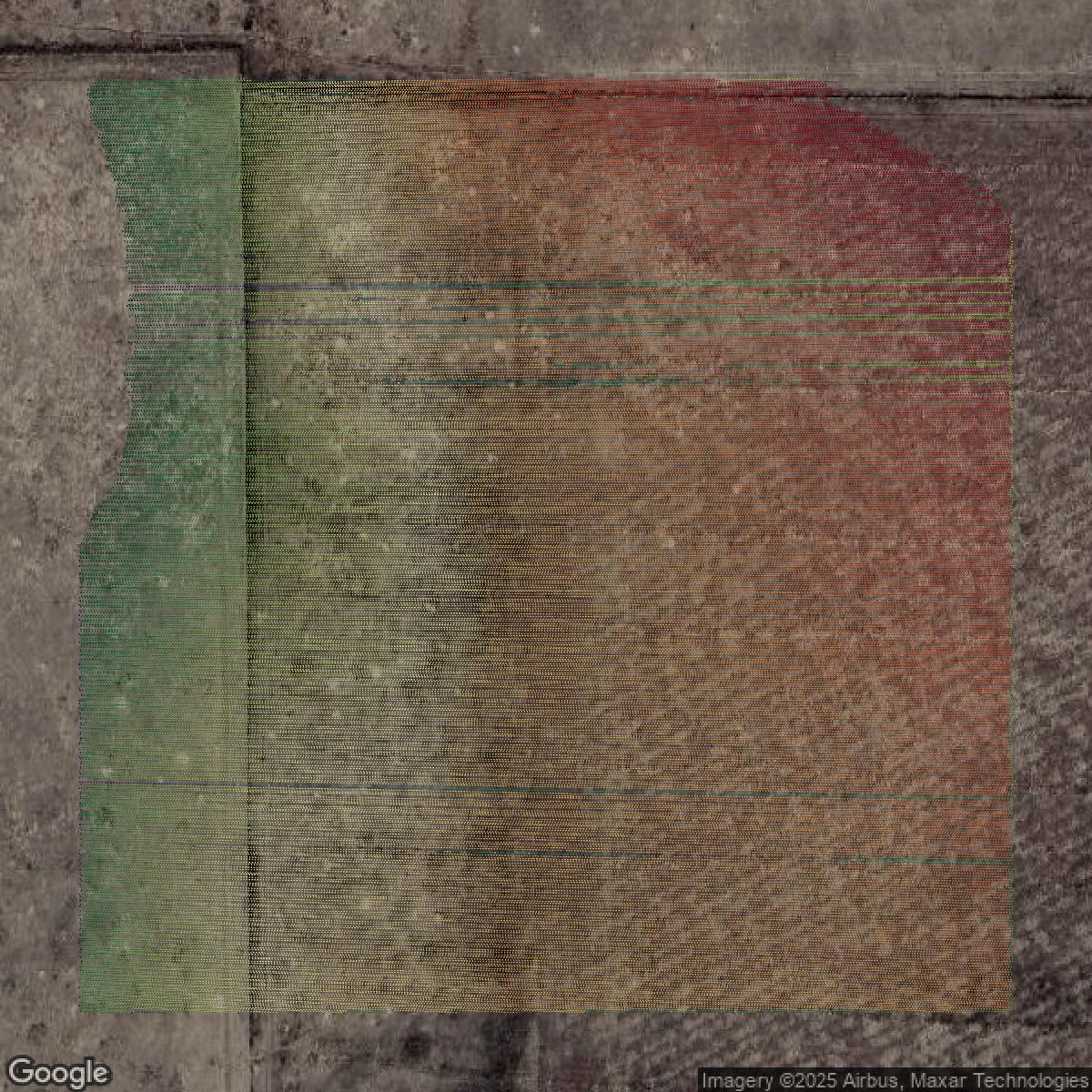
LiDAR
Equator turns El Paso County LiDAR point clouds into various lidar-derived data sets, including DEMs.
Get LiDAR for El Paso County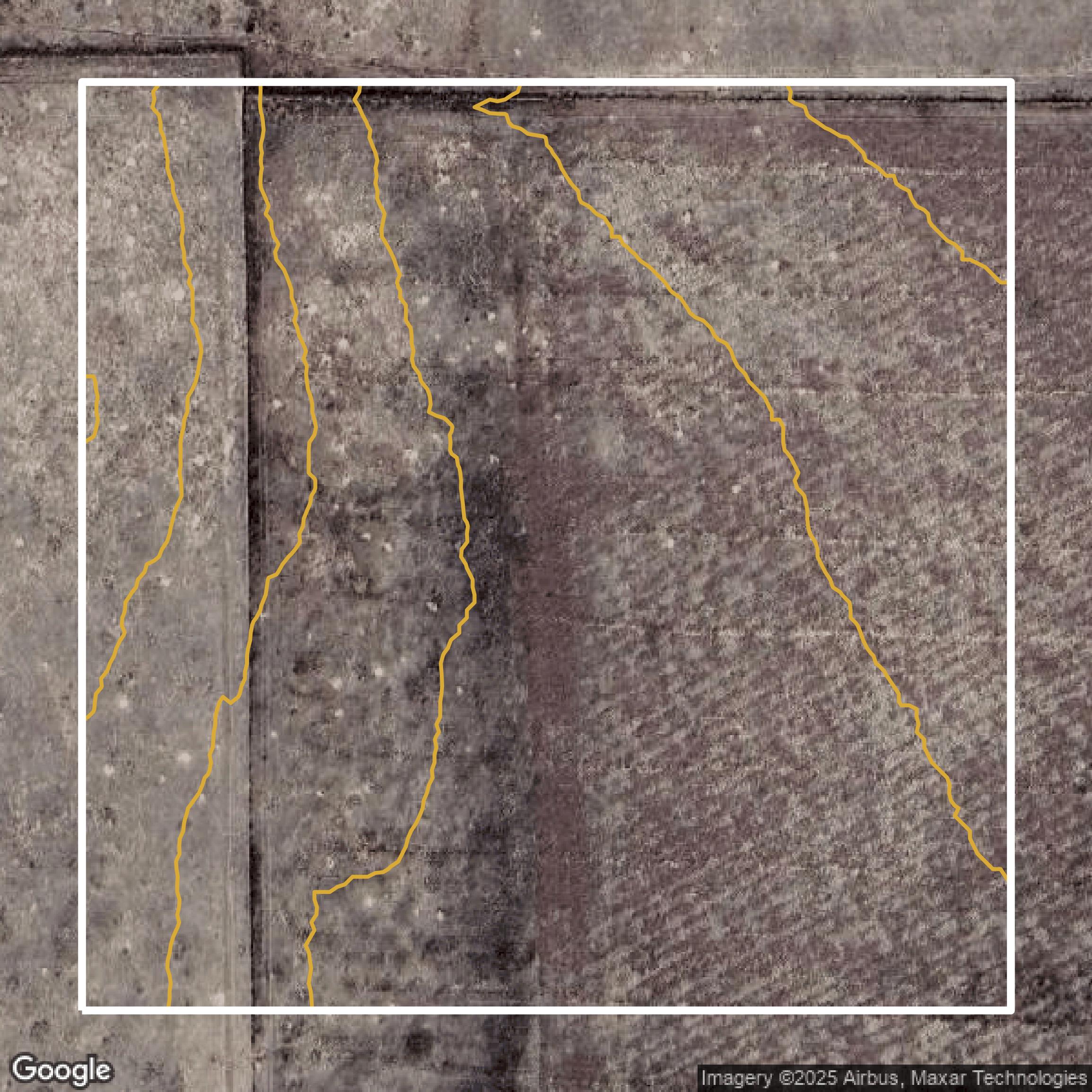
Contours
El Paso County contours on Equator are produced from LiDAR coverage, allowing for high precision
Get Contours for El Paso County