Overview
Champaign County GIS Data - For CAD
Equator helps civil engineering, architecture and consulting firms with the tools to instantly find, process and download accurate LiDAR, contours, parcel data, building footprints, DEMs, point clouds and other GIS data for Champaign County in an online web mapping portal.
Champaign County GIS Data ->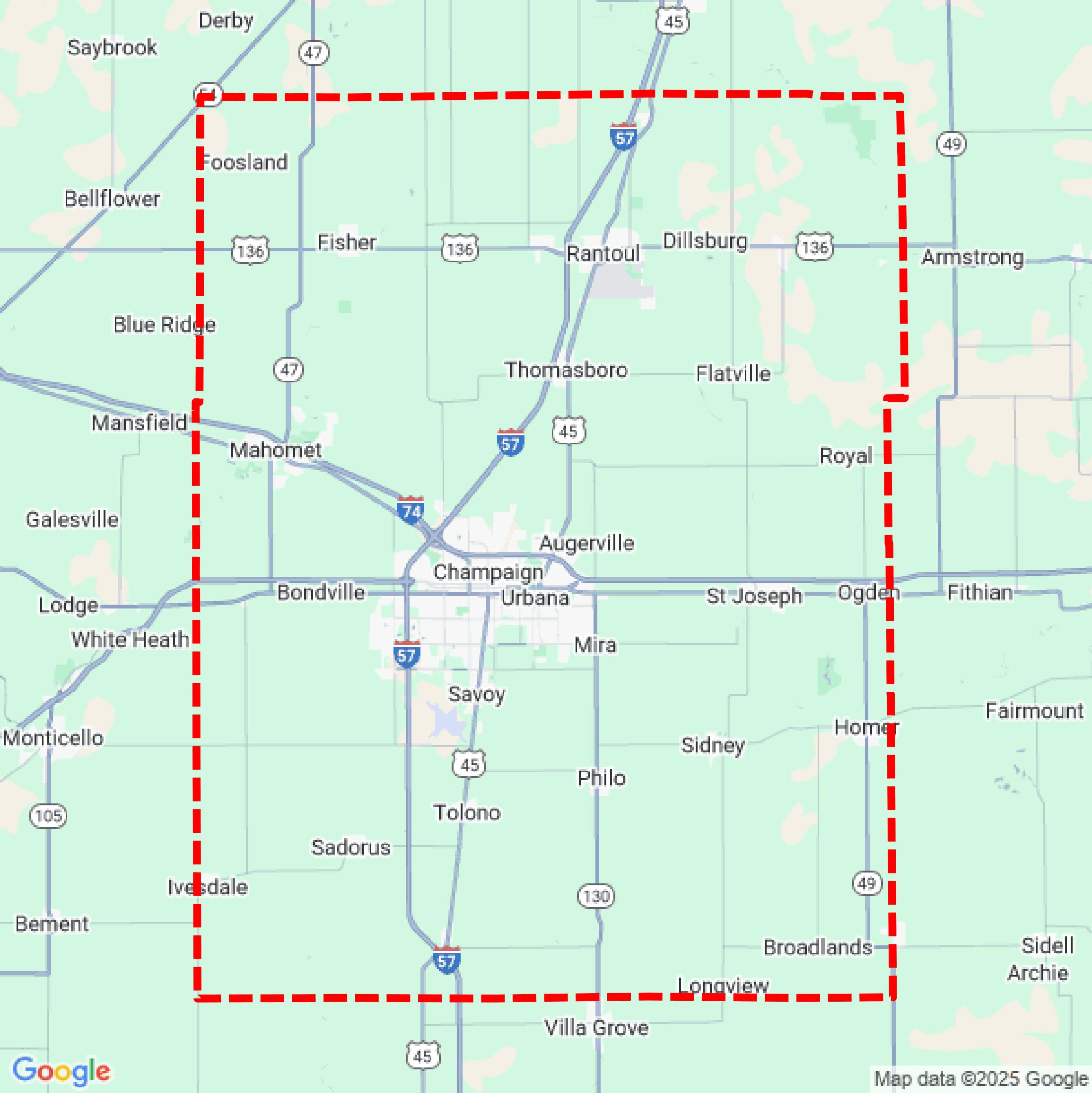

Data Available
Download GIS Data for Champaign County
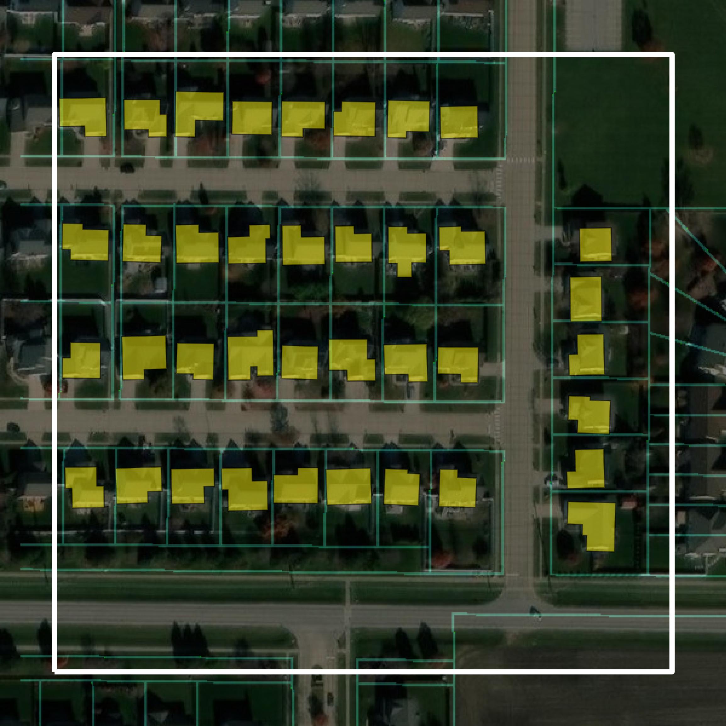
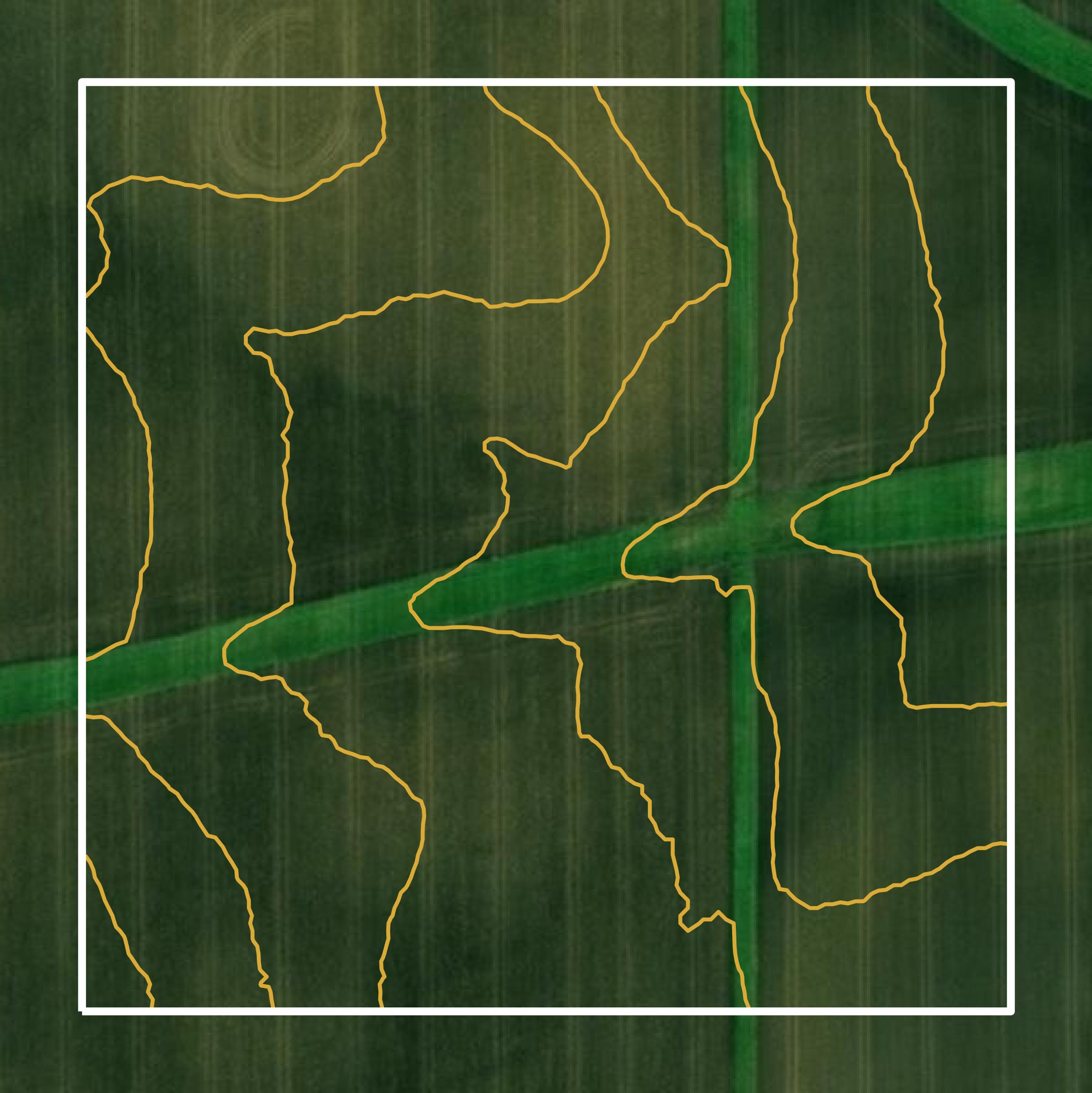
Parcels and Buildings
This image shows parcel and building data in Champaign County created using GIS data in Equator.
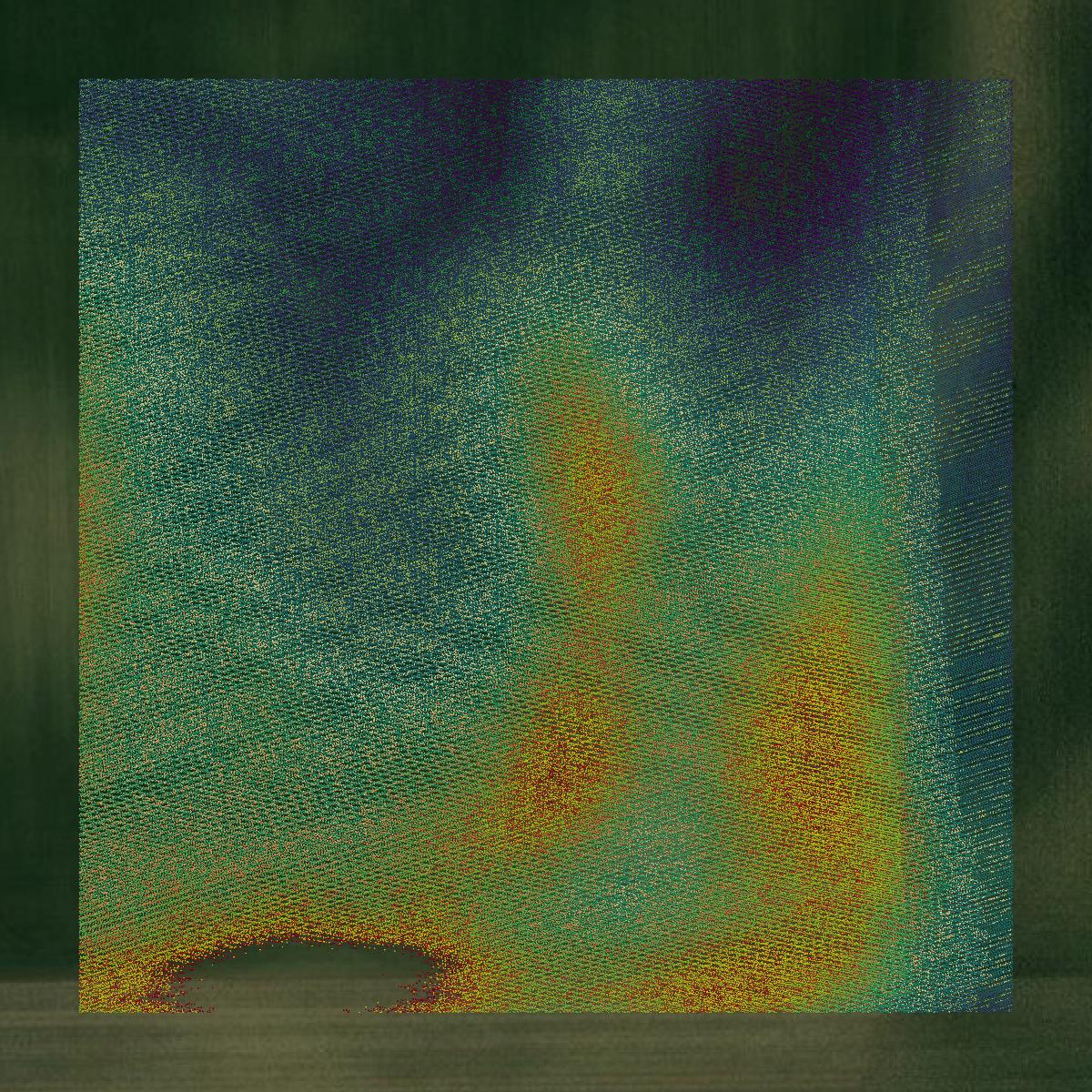
LiDAR
This image shows a LiDAR point cloud in Champaign County created using GIS data in Equator.

Contours
This image shows a contour map in Champaign County created using GIS data in Equator.
Formats Available
Export Your Data Ready to Use in Multiple Formats
DWG
AutoCAD Drawing - Industry-standard CAD format
Supported Data:
Contour, Parcel, Building Outline
SHP
Shapefile - Standard GIS vector format
Supported Data:
Contour, Parcel, Building Outline
DXF
Drawing Exchange Format - Universal CAD interchange
Supported Data:
Contour, Building Outline
GeoJSON
Geographic JSON - Web-friendly spatial data format
Supported Data:
Contour, Parcel, Building Outline
LAZ
Compressed LAS - Efficient LiDAR point cloud format
Supported Data:
Point Cloud
SVG
Scalable Vector Graphics - Web vector format
Supported Data:
Contour, Building Outline
GPKG
GeoPackage - Modern OGC spatial database format
Supported Data:
Contour, Parcel, Building Outline
LandXML (Coming Soon)
Land XML - Civil engineering data exchange format
Supported Data:
Point Cloud
TIN (Coming Soon)
Triangulated Irregular Network - 3D surface model
Supported Data:
Point Cloud
XYZ (Coming Soon)
XYZ Point Cloud - Simple ASCII point cloud format
Supported Data:
Point Cloud
Background
GIS Data for Champaign County
The Address Query Application for Champaign County, Illinois, provides access to address information under the city's addressing authority. It features a search tool that allows users to locate specific addresses on a map, displaying whether each address falls within the Champaign city limits along with its latitude and longitude coordinates. Additionally, the application includes aerial photography captured in the spring of 2025. The site emphasizes that there is no warranty regarding the accuracy of the data provided, and users are responsible for determining its suitability for their needs.
Access Champaign County GIS Data in Equator →Champaign County Portal →Showcase
Sample GIS Data for Champaign County
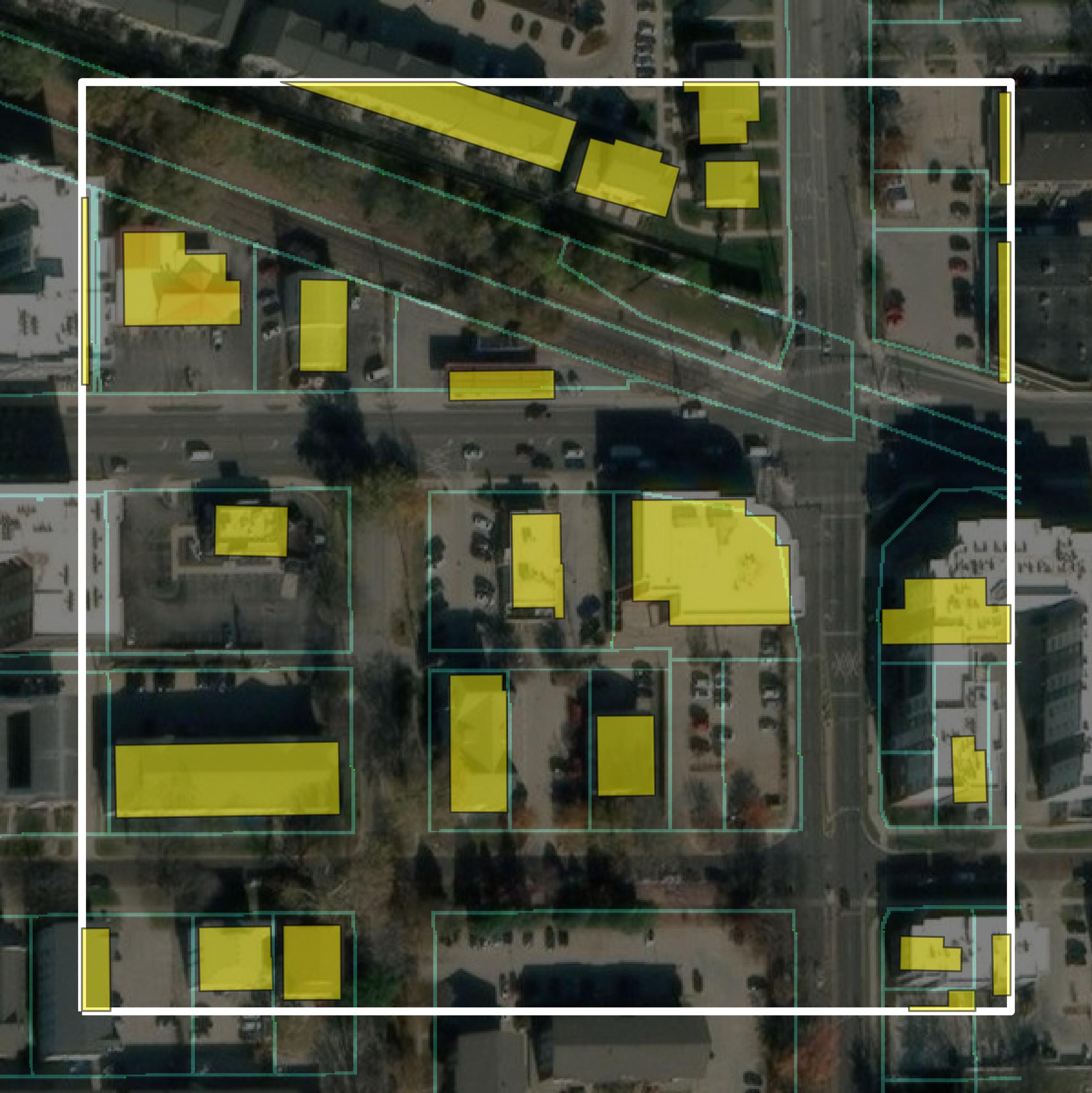
Parcels and Buildings
Parcel and building data in Champaign County are used in a variety of fields including architecture, real estate, and urban planning.
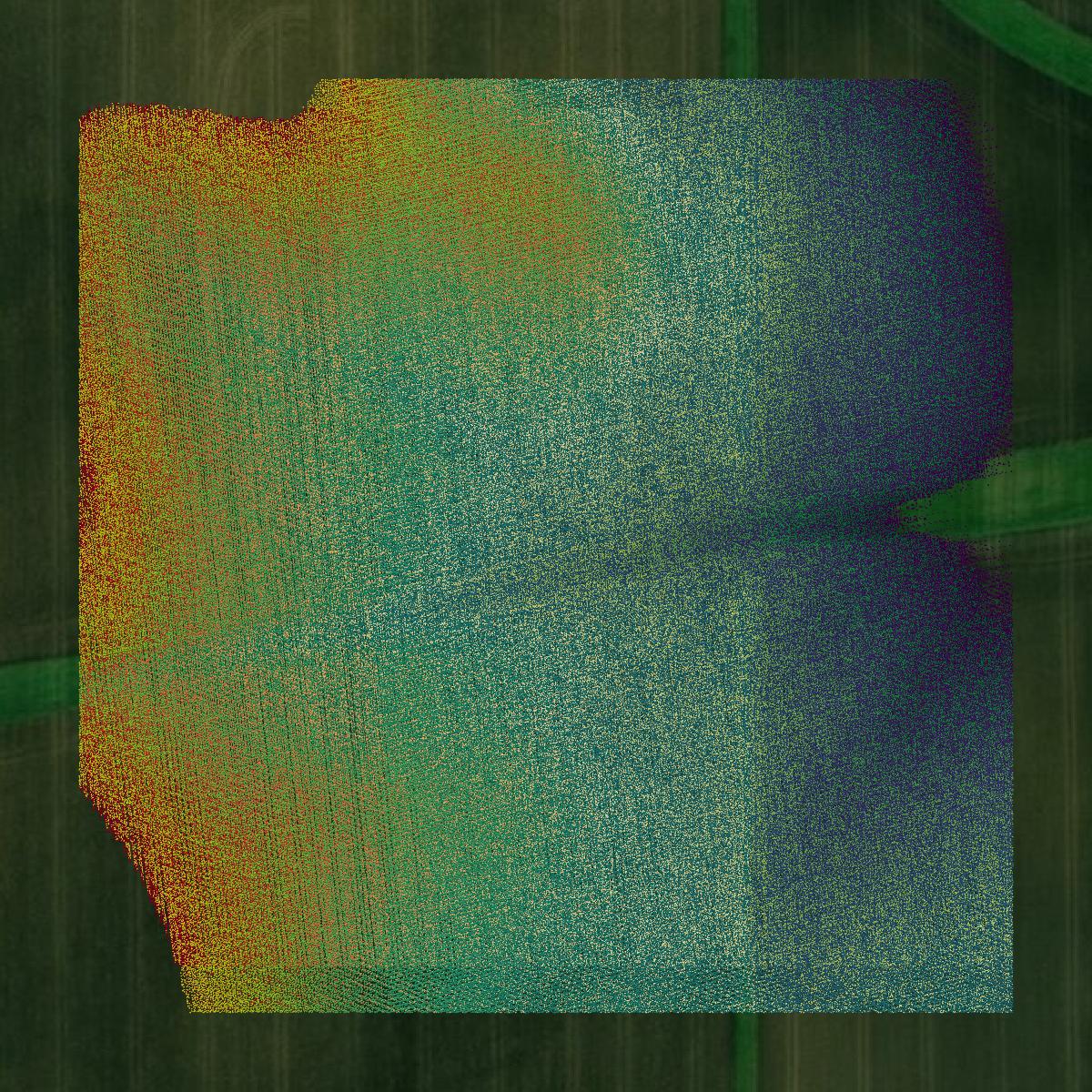
LiDAR
Point clouds (LiDAR) in Champaign County can produce highly accurate 3D models of terrain, structures, and vegetation.
Contours
Contours in Champaign County visualize 3D elevations on a 2D surface allowing you to better understand your site.