Overview
LiDAR Data for Oklahoma, United States
Access high-resolution LiDAR elevation data for engineering, planning, and site analysis across Oklahoma.
Download LiDAR in Oklahoma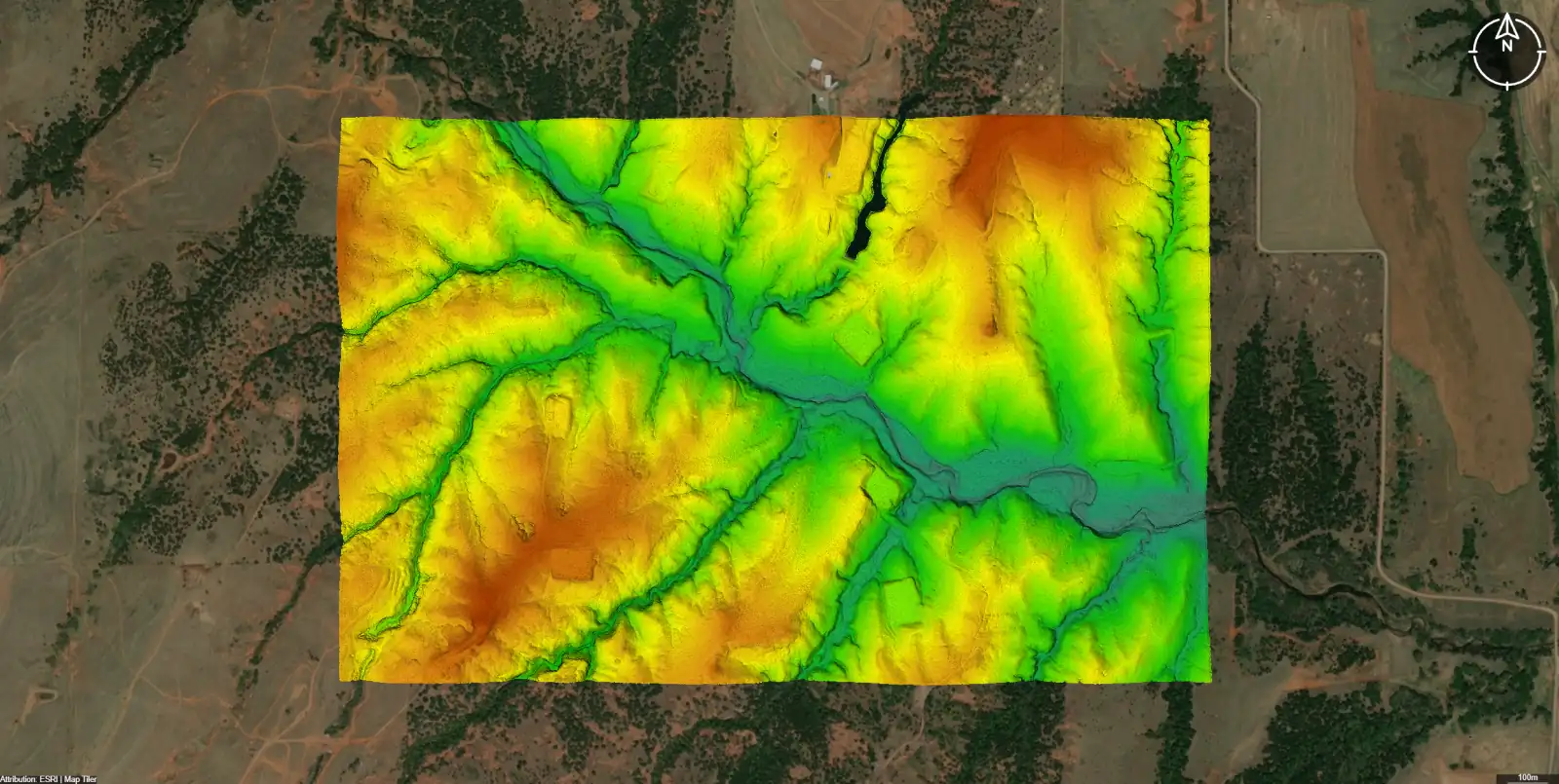
Coverage Overview
LiDAR coverage in Oklahoma
LiDAR coverage
Near-statewide LiDAR coverage provided through the USGS 3D Elevation Program (3DEP), with completeness varying by acquisition year and region.
Typical point density
LiDAR point density typically ranges from approximately 1 to 8 points per square meter, depending on the USGS 3DEP quality level and acquisition year.
Acquisition sources
Data acquisition spans multiple collection cycles, with most areas captured between approximately 2015 and recent 3DEP updates, depending on location.
Last update range
Coverage and recency varies by region; most states include a mix of legacy LiDAR and newer 3DEP refreshes.
Vertical accuracy
Data quality varies by location and acquisition, and generally meets USGS 3DEP Quality Levels (QL) ranging from QL0 to QL2, depending on region and collection year.
Background
What You Can Do With LiDAR in Oklahoma
What LiDAR data is used for in Oklahoma:
- Generate contours for preliminary grading
- Analyze slope and terrain constraints
- Estimate cut and fill volumes
- Create elevation profiles for roads and utilities
- Support floodplain and drainage context
- Combine with parcels and buildings for site feasibility
Data Outputs & Formats
LiDAR-derived outputs and formats for Oklahoma
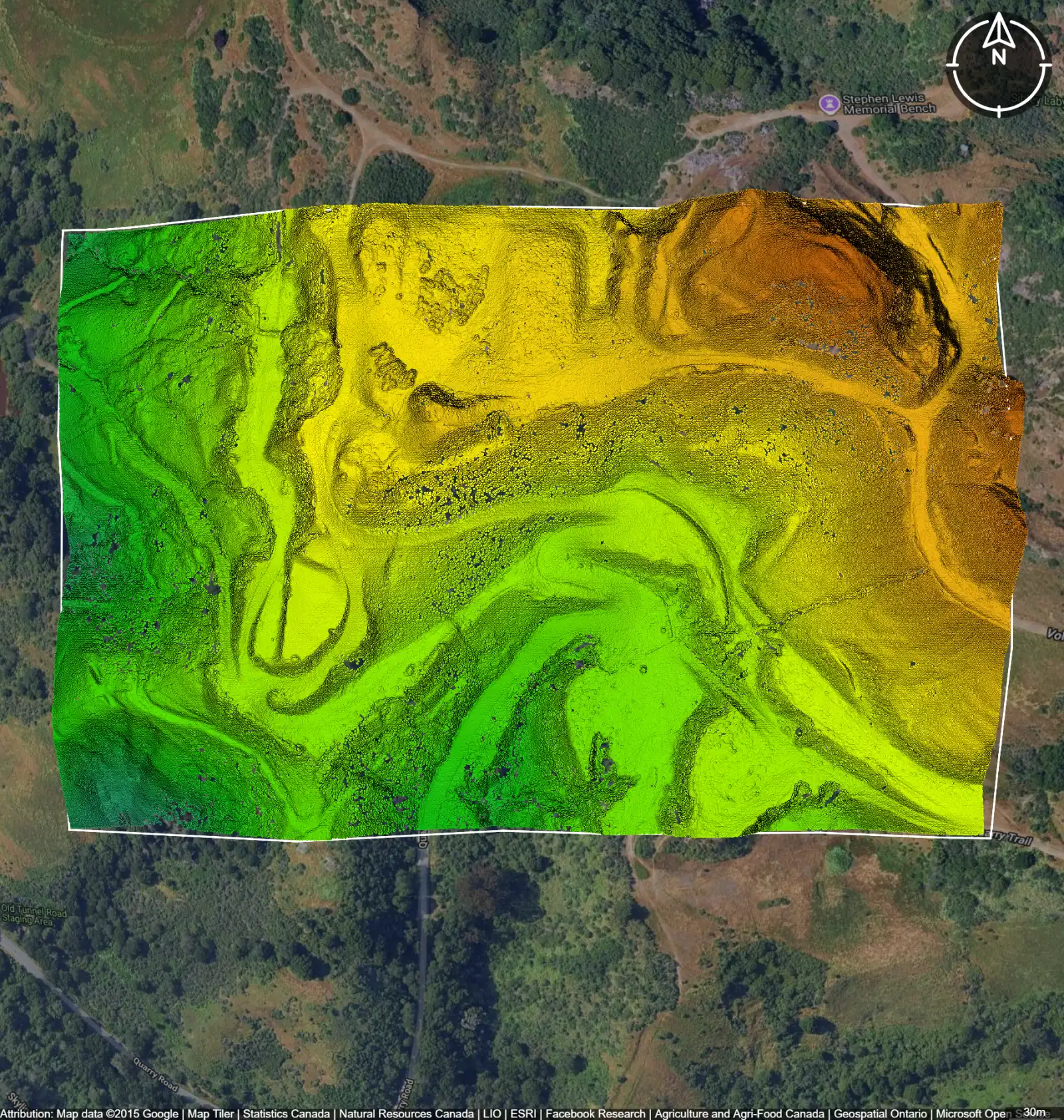
LiDAR Elevation
LiDAR point cloud data sourced from LiDAR data for sites in Oklahoma.
Get LiDAR topo for Oklahoma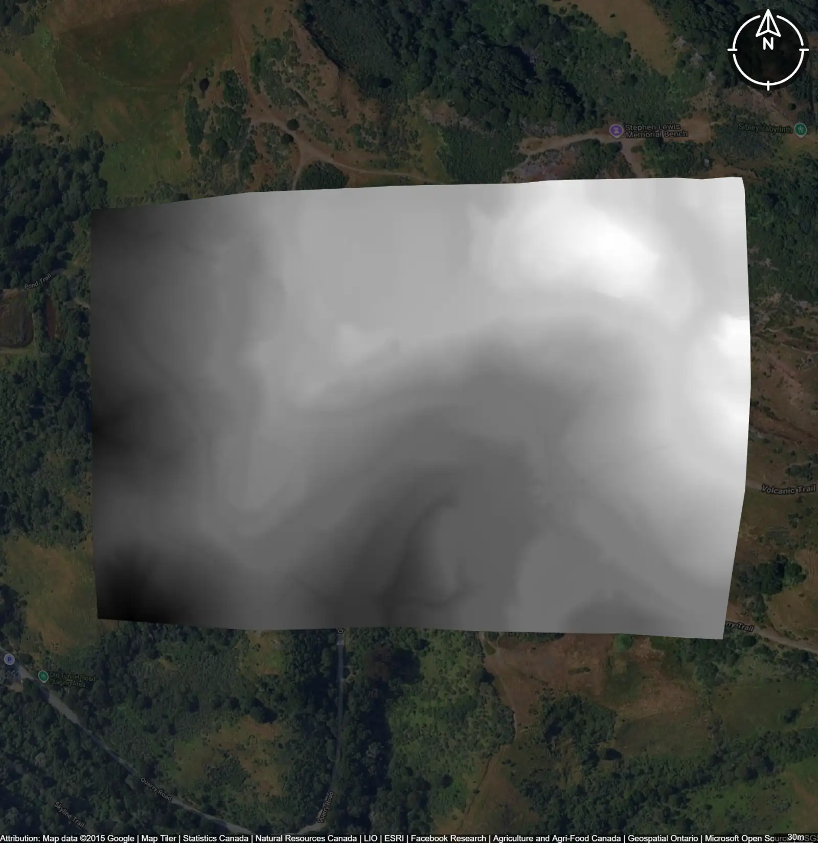
Contour Lines
Contour lines generated from LiDAR elevation data for a site in Oklahoma.
Get LiDAR-derived contours for Oklahoma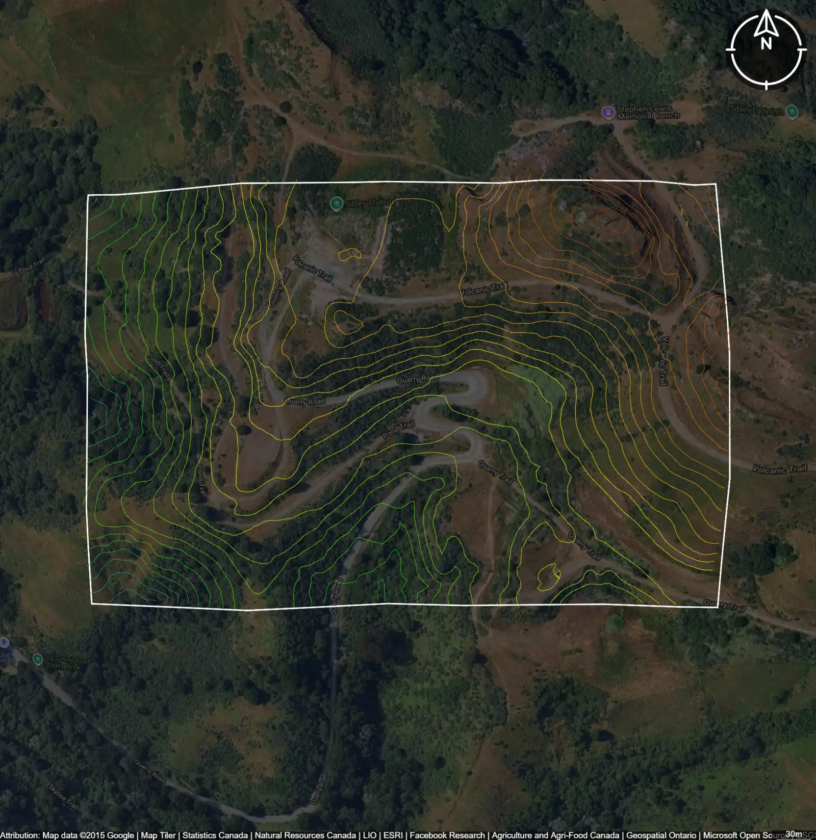
Digital Elevation Models
Digital elevation models (DEMs) generated from LiDAR data for sites in Oklahoma.
Get LiDAR-derived elevation models for OklahomaFormats Available
Export Your Data Ready to Use in Multiple Formats
DWG
AutoCAD Drawing - Industry-standard CAD format
Supported Data:
Contour, Parcel, Building Outline
SHP
Shapefile - Standard GIS vector format
Supported Data:
Contour, Parcel, Building Outline
DXF
Drawing Exchange Format - Universal CAD interchange
Supported Data:
Contour, Building Outline
GeoJSON
Geographic JSON - Web-friendly spatial data format
Supported Data:
Contour, Parcel, Building Outline
LAZ
Compressed LAS - Efficient LiDAR point cloud format
Supported Data:
Point Cloud
SVG
Scalable Vector Graphics - Web vector format
Supported Data:
Contour, Building Outline
GPKG
GeoPackage - Modern OGC spatial database format
Supported Data:
Contour, Parcel, Building Outline
LandXML (Coming Soon)
Land XML - Civil engineering data exchange format
Supported Data:
Point Cloud
TIN (Coming Soon)
Triangulated Irregular Network - 3D surface model
Supported Data:
Point Cloud
XYZ (Coming Soon)
XYZ Point Cloud - Simple ASCII point cloud format
Supported Data:
Point Cloud
How to access Oklahoma LiDAR data?
Did you know?
Equator turns massive datasets like building outlines into site‑ready data, instantly. This is why Equator is the go‑to choice for engineers, designers, and architects who need LiDAR data for Oklahoma.
Search by address or upload a site boundary
Locate your project area by address, coordinates, or boundary file to view available LiDAR coverage instantly.
Generate LiDAR derived outputs
Create engineering-ready surfaces such as contours, DEMs, and terrain models directly from LiDAR data.
Download LiDAR data in CAD-ready formats
Export LiDAR data and derived outputs in formats compatible with CAD, GIS, and design workflows.