Overview
Orleans Parish GIS Data - For CAD
Equator helps civil engineering, architecture and consulting firms with the tools to instantly find, process and download accurate LiDAR, contours, parcel data, building footprints, DEMs, point clouds and other GIS data for Orleans Parish in an online web mapping portal.
Orleans Parish GIS Data ->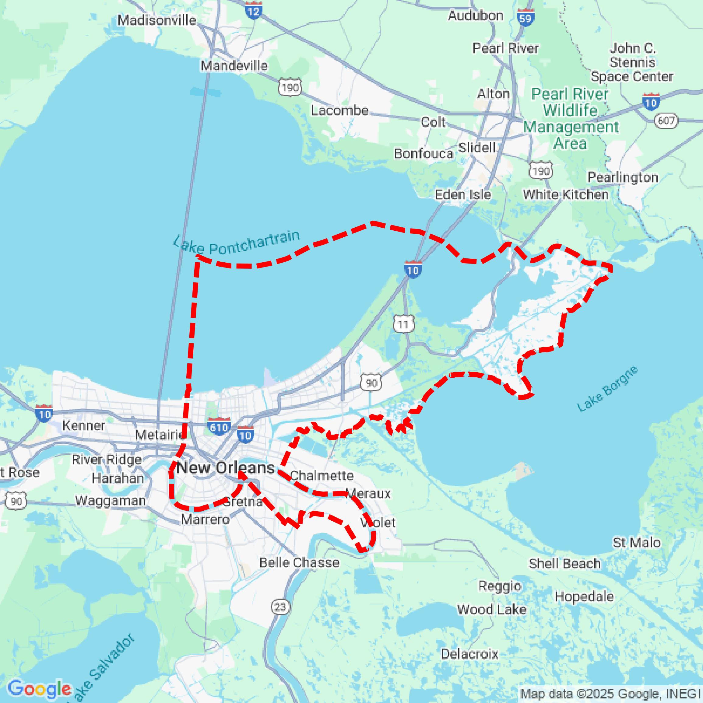

Data Available
Download GIS Data for Orleans Parish
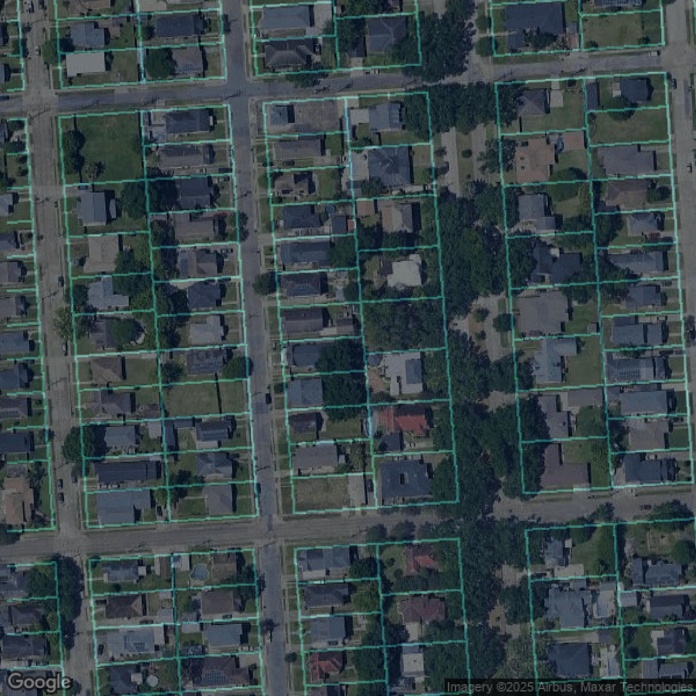
Parcels and Buildings
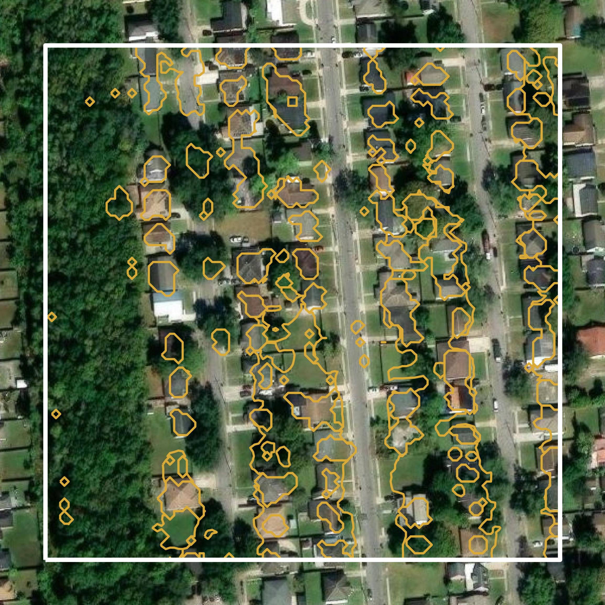
This image shows parcel and building data in Orleans Parish created using GIS data in Equator.
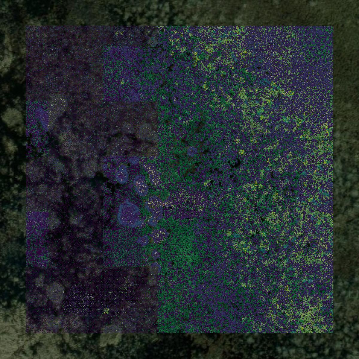
LiDAR
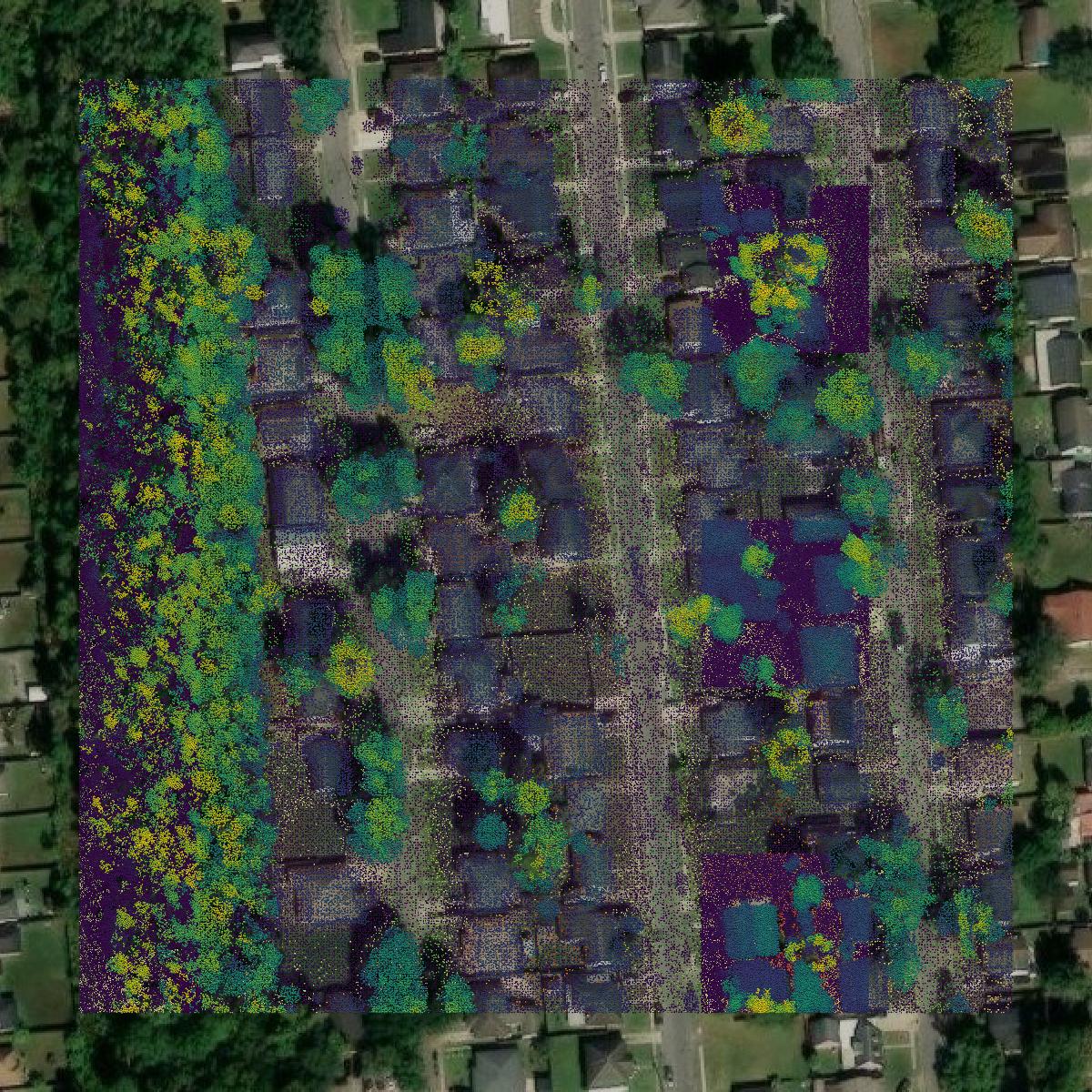
This image shows a LiDAR point cloud in Orleans Parish created using GIS data in Equator.
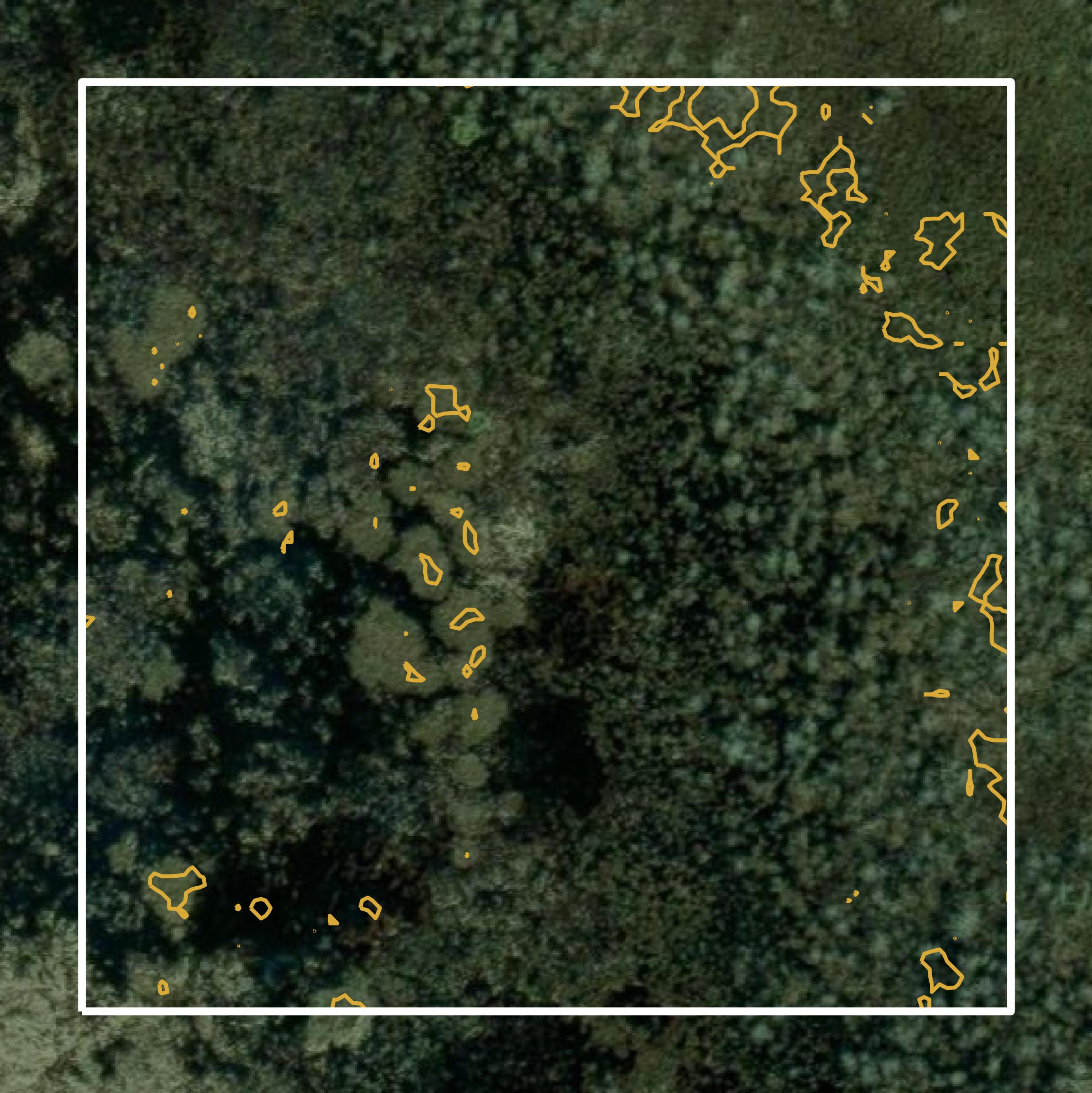
Contours
This image shows a contour map in Orleans Parish created using GIS data in Equator.
Formats Available
Export Your Data Ready to Use in Multiple Formats
DWG
AutoCAD Drawing - Industry-standard CAD format
Supported Data:
Contour, Parcel, Building Outline
SHP
Shapefile - Standard GIS vector format
Supported Data:
Contour, Parcel, Building Outline
DXF
Drawing Exchange Format - Universal CAD interchange
Supported Data:
Contour, Building Outline
GeoJSON
Geographic JSON - Web-friendly spatial data format
Supported Data:
Contour, Parcel, Building Outline
LAZ
Compressed LAS - Efficient LiDAR point cloud format
Supported Data:
Point Cloud
SVG
Scalable Vector Graphics - Web vector format
Supported Data:
Contour, Building Outline
GPKG
GeoPackage - Modern OGC spatial database format
Supported Data:
Contour, Parcel, Building Outline
LandXML (Coming Soon)
Land XML - Civil engineering data exchange format
Supported Data:
Point Cloud
TIN (Coming Soon)
Triangulated Irregular Network - 3D surface model
Supported Data:
Point Cloud
XYZ (Coming Soon)
XYZ Point Cloud - Simple ASCII point cloud format
Supported Data:
Point Cloud
Background
GIS Data for Orleans Parish
The City of New Orleans GIS portal provides a comprehensive collection of geographic information system (GIS) datasets, maps, and spatial data resources relevant to Orleans Parish County, Louisiana. Key content includes property data accessible through the Property Viewer, zoning information, aerial imagery, and historical insights via the Vieux Carré Virtual Library. Additional tools such as Streetwise for live accident and flood reports, RouteWise for tracking parade routes, and the RoadWork application for monitoring capital projects are also available. The portal facilitates public engagement with land-use changes through the NoticeMe service and offers resources for locating available properties through the NORA Property Viewer, as well as trash collection schedules.
Access Orleans Parish GIS Data in Equator →Orleans Parish Portal →Showcase
Sample GIS Data for Orleans Parish

Parcels and Buildings
Parcel and building data in Orleans Parish are used in a variety of fields including architecture, real estate, and urban planning.
LiDAR
Point clouds (LiDAR) in Orleans Parish can produce highly accurate 3D models of terrain, structures, and vegetation.
Contours
Contours in Orleans Parish visualize 3D elevations on a 2D surface allowing you to better understand your site.