Overview
Stone County GIS Data - For CAD
Equator helps civil engineering, architecture and consulting firms with the tools to instantly find, process and download accurate LiDAR, contours, parcel data, building footprints, DEMs, point clouds and other GIS data for Stone County in an online web mapping portal.
Stone County GIS Data ->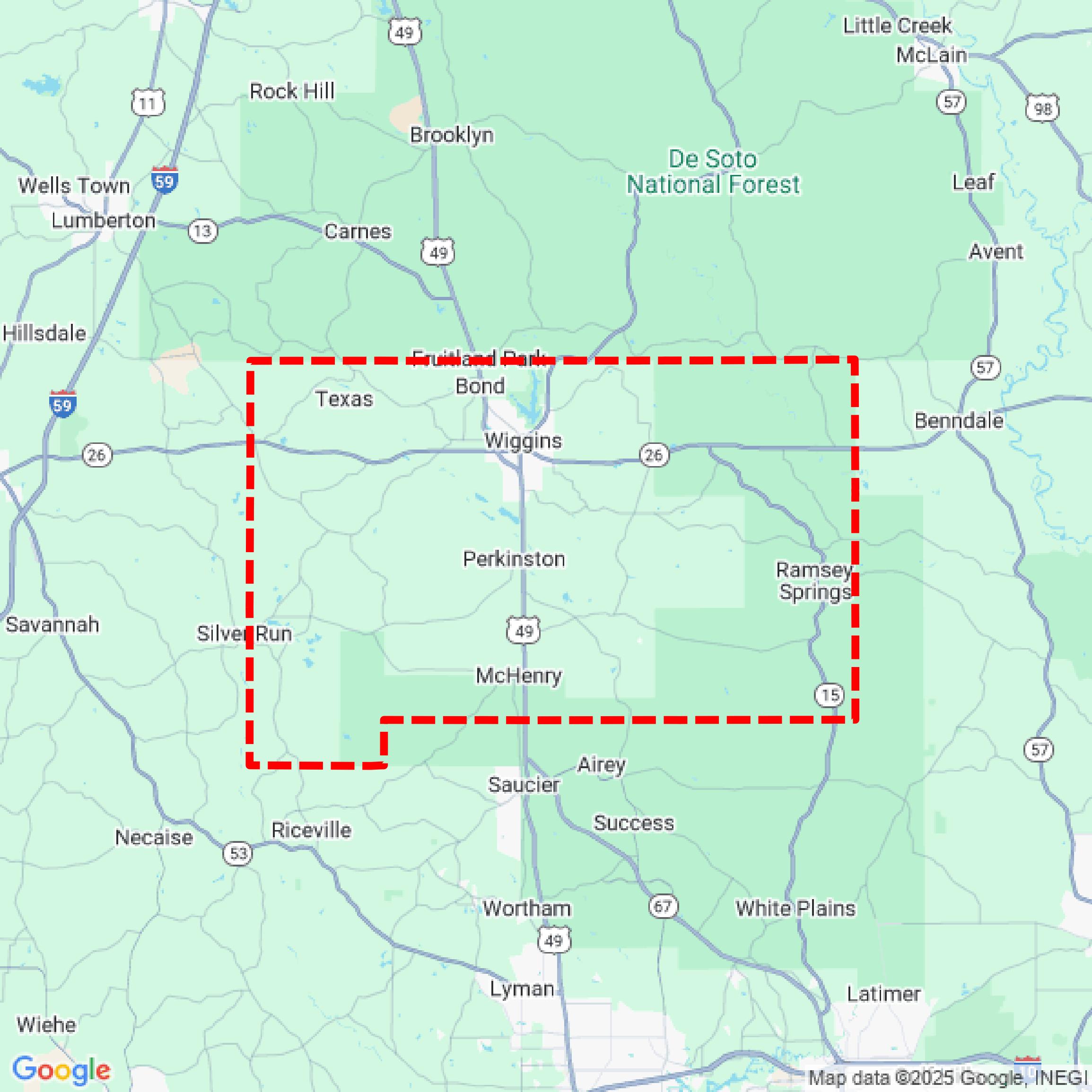

Data Available
Download GIS Data for Stone County
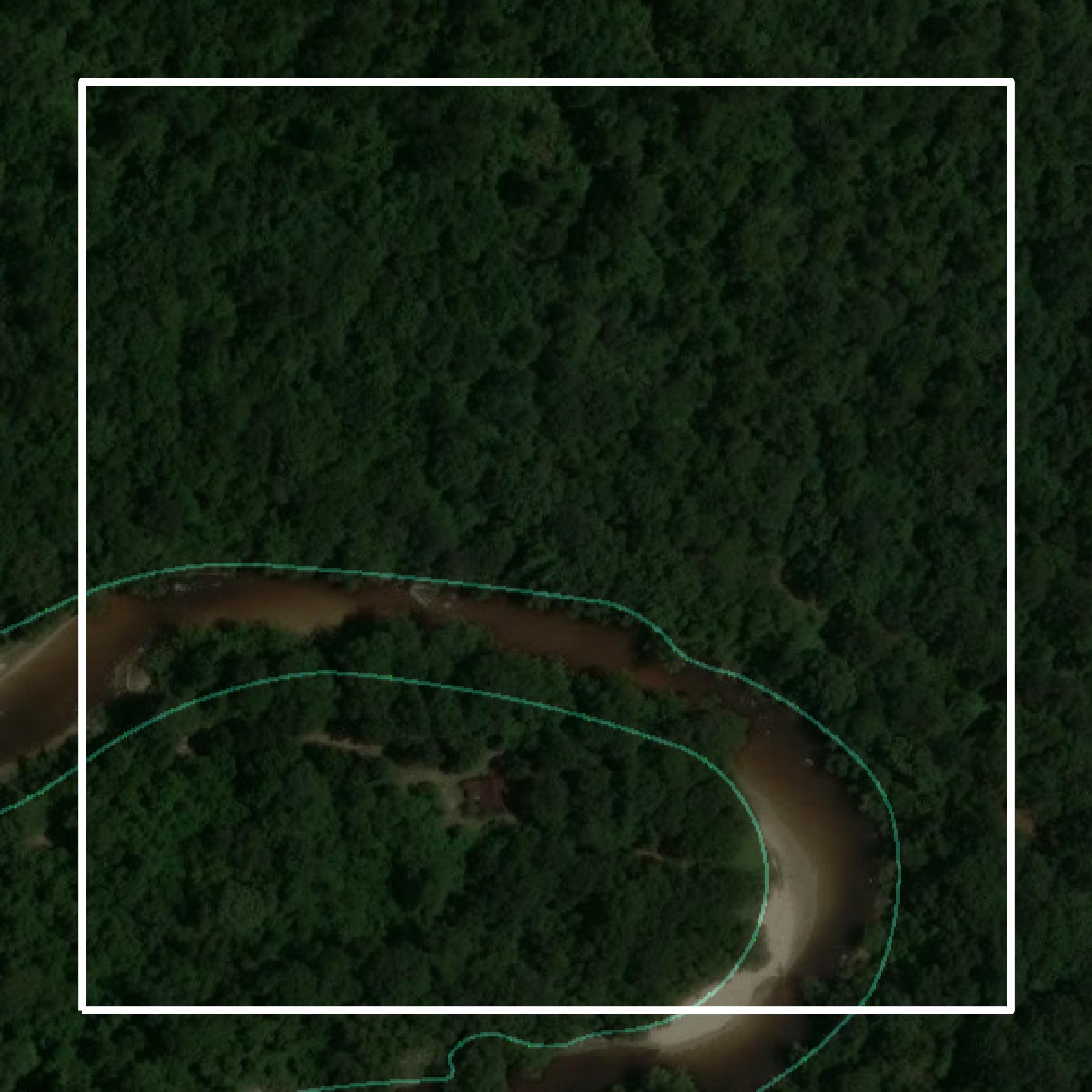
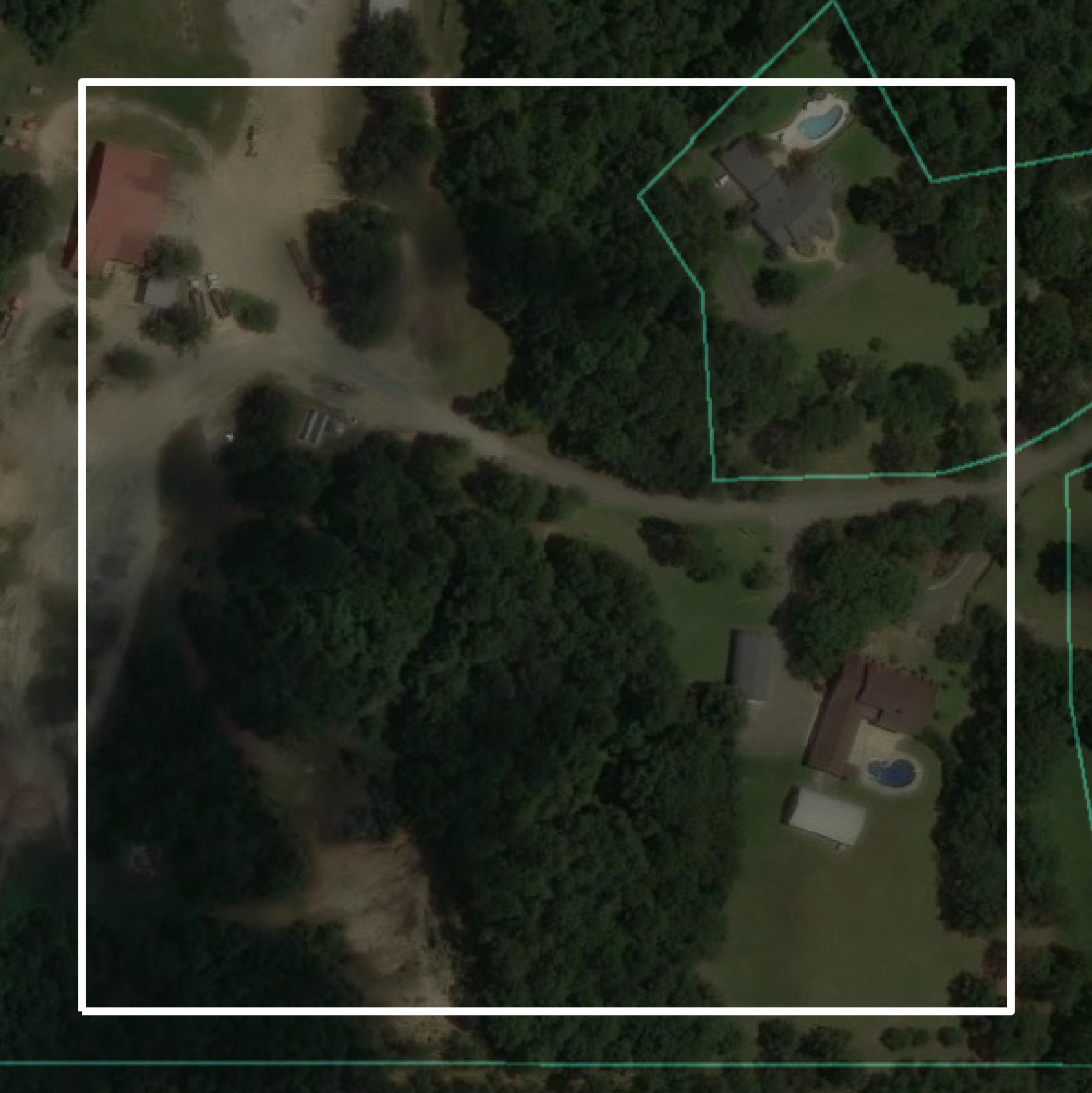
Parcels and Buildings
This image shows parcel and building data in Stone County created using GIS data in Equator.
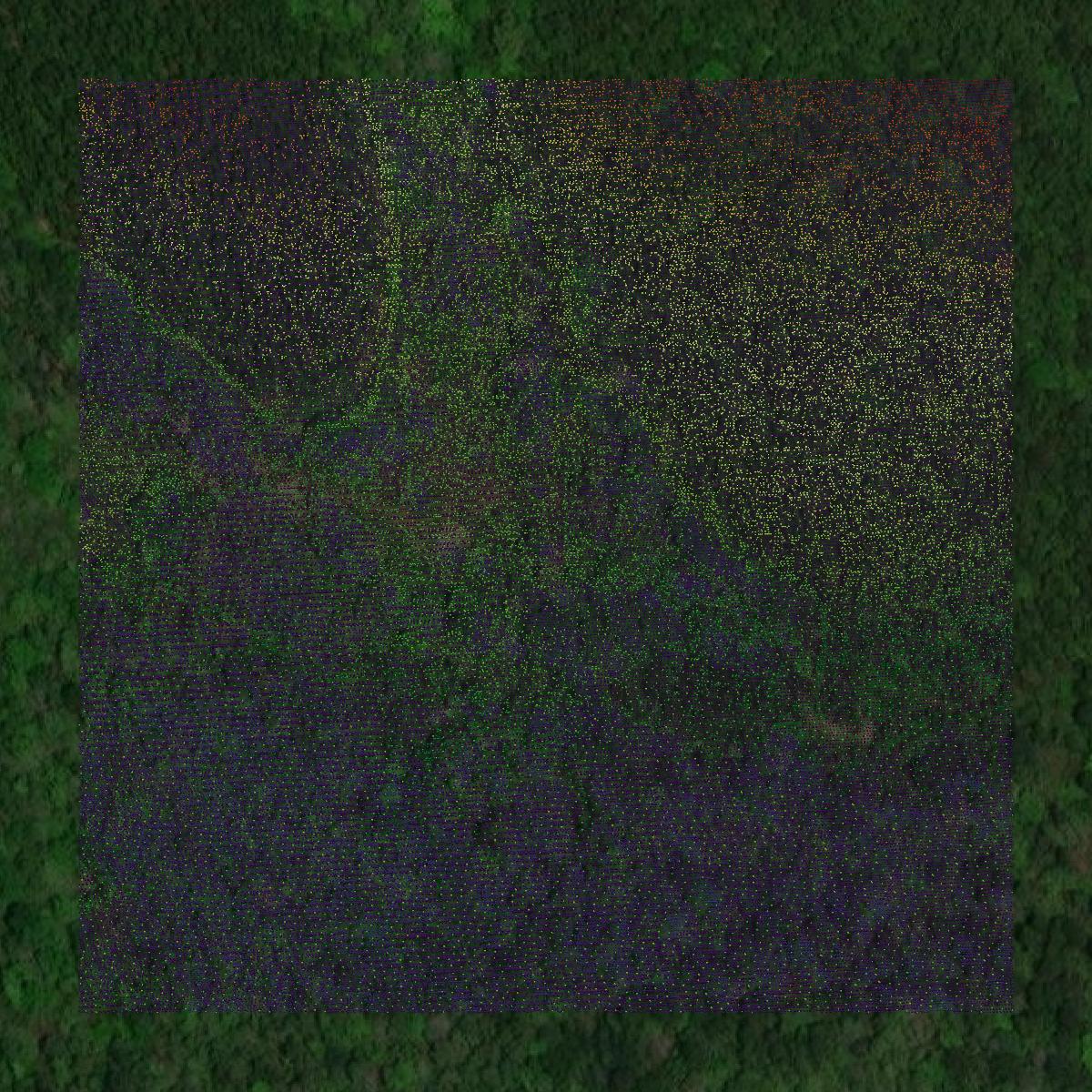
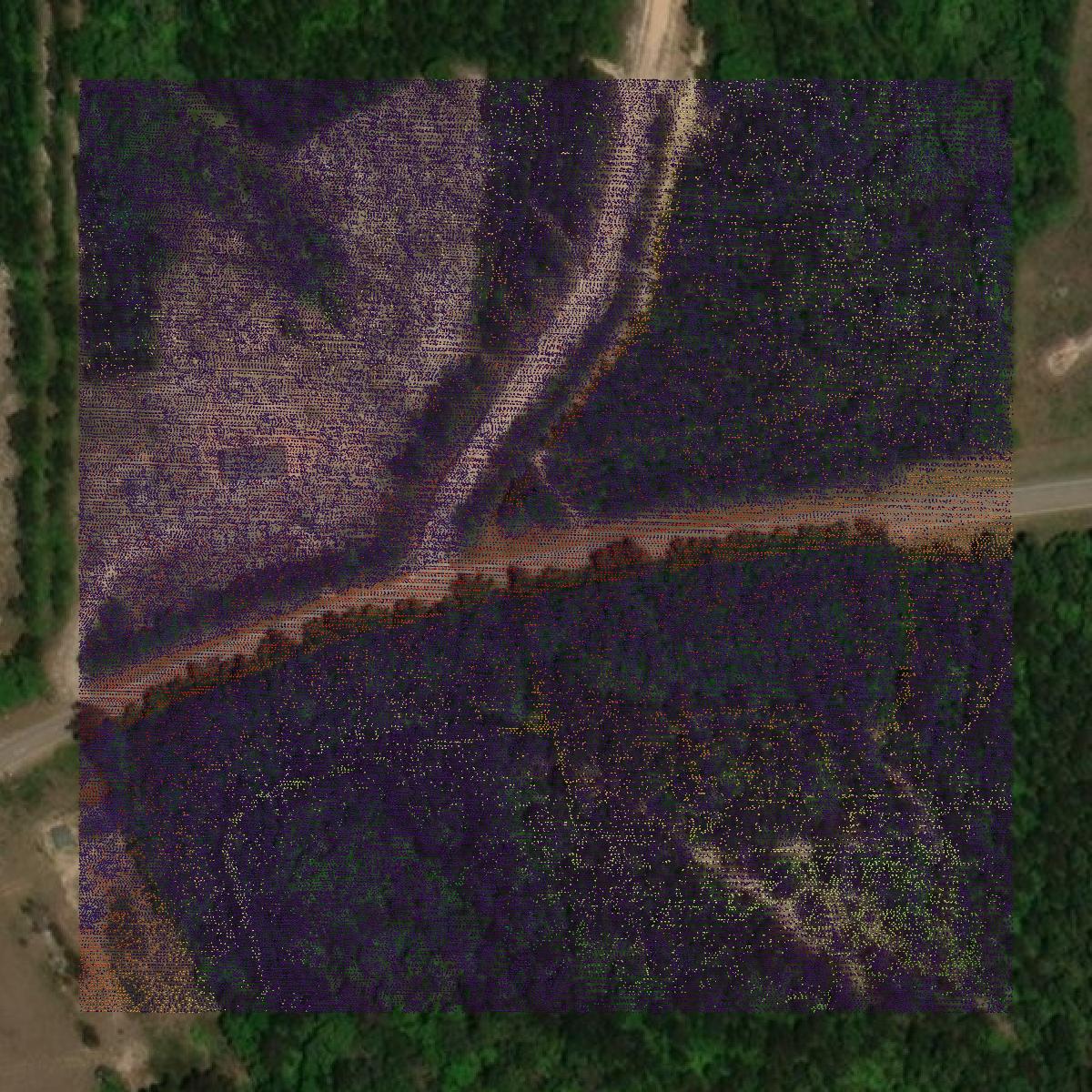
LiDAR
This image shows a LiDAR point cloud in Stone County created using GIS data in Equator.
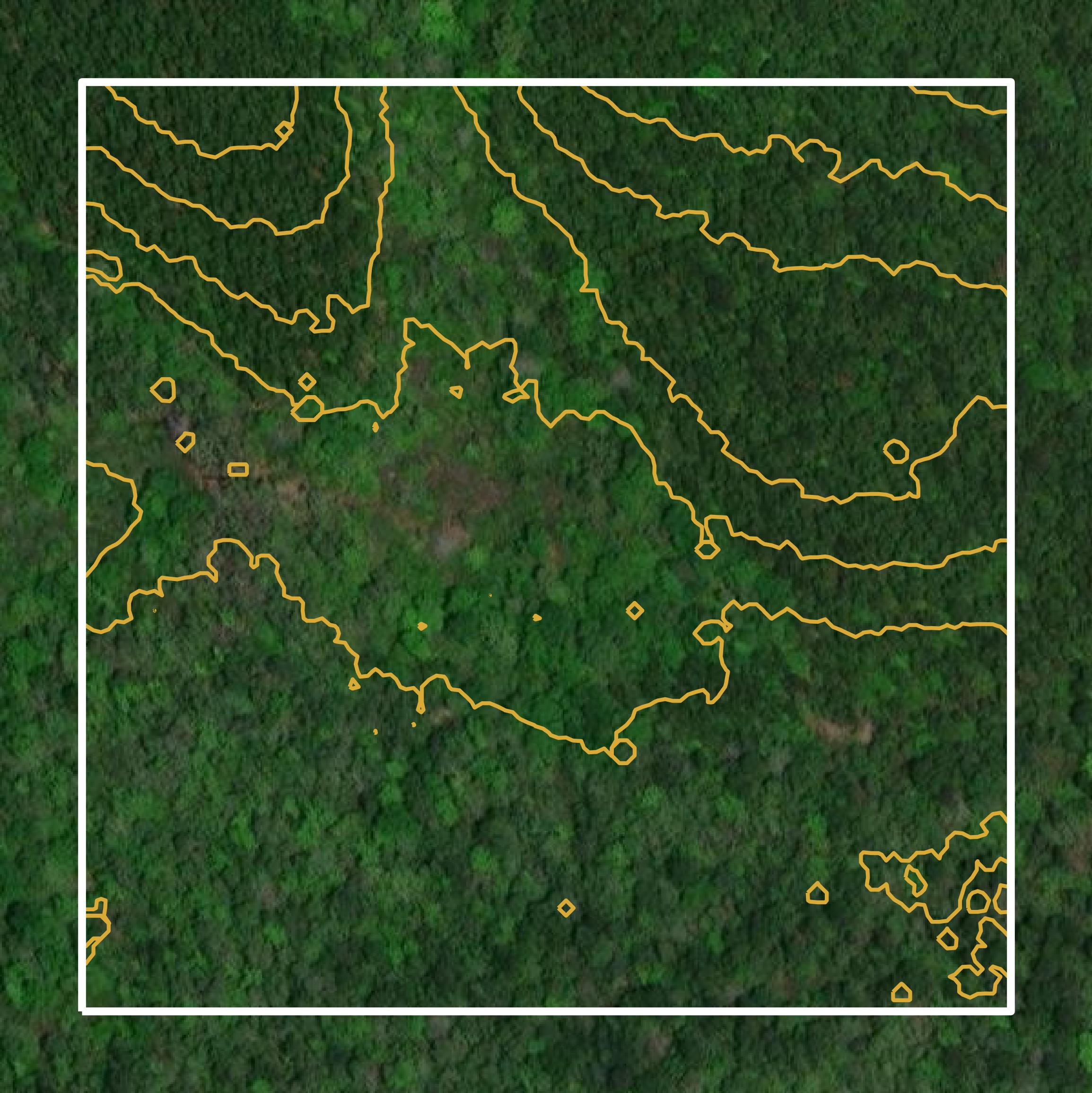
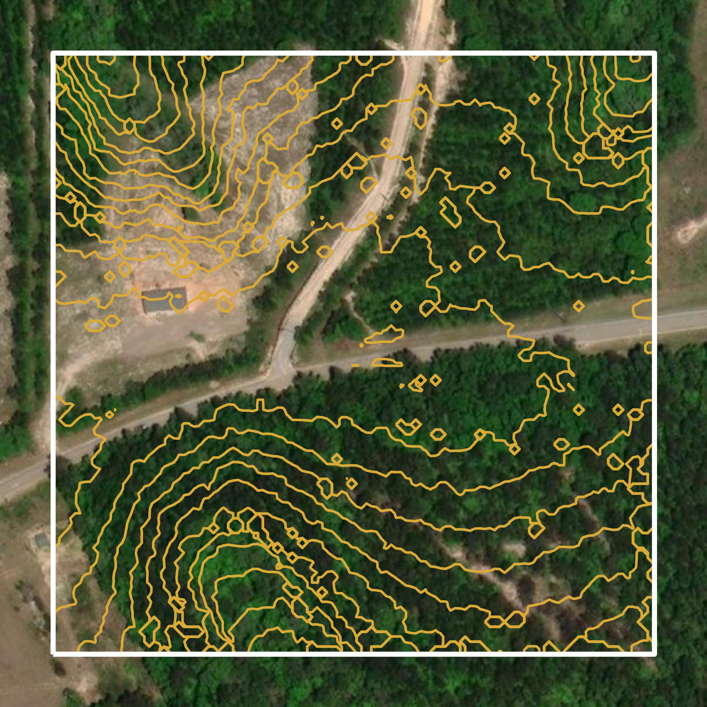
Contours
This image shows a contour map in Stone County created using GIS data in Equator.
Formats Available
Export Your Data Ready to Use in Multiple Formats
DWG
AutoCAD Drawing - Industry-standard CAD format
Supported Data:
Contour, Parcel, Building Outline
SHP
Shapefile - Standard GIS vector format
Supported Data:
Contour, Parcel, Building Outline
DXF
Drawing Exchange Format - Universal CAD interchange
Supported Data:
Contour, Building Outline
GeoJSON
Geographic JSON - Web-friendly spatial data format
Supported Data:
Contour, Parcel, Building Outline
LAZ
Compressed LAS - Efficient LiDAR point cloud format
Supported Data:
Point Cloud
SVG
Scalable Vector Graphics - Web vector format
Supported Data:
Contour, Building Outline
GPKG
GeoPackage - Modern OGC spatial database format
Supported Data:
Contour, Parcel, Building Outline
LandXML (Coming Soon)
Land XML - Civil engineering data exchange format
Supported Data:
Point Cloud
TIN (Coming Soon)
Triangulated Irregular Network - 3D surface model
Supported Data:
Point Cloud
XYZ (Coming Soon)
XYZ Point Cloud - Simple ASCII point cloud format
Supported Data:
Point Cloud
Background
GIS Data for Stone County
The Stone County Tax Assessor and Collector webpage provides essential information regarding the assessment and collection of taxes within the county. It includes access to GIS datasets and spatial data resources, such as a parcel map viewer, which allows users to explore property boundaries and ownership details. The site offers various content types, including parcel data, property appraisal records, and information on homestead exemptions. Additionally, it outlines the responsibilities of the Tax Assessor and Collector, detailing their roles in maintaining accurate property values and collecting taxes on real and personal property.
Access Stone County GIS Data in Equator →Stone County Portal →Showcase
Sample GIS Data for Stone County
Parcels and Buildings
Parcel and building data in Stone County are used in a variety of fields including architecture, real estate, and urban planning.
LiDAR
Point clouds (LiDAR) in Stone County can produce highly accurate 3D models of terrain, structures, and vegetation.
Contours
Contours in Stone County visualize 3D elevations on a 2D surface allowing you to better understand your site.