Overview
Cass County GIS Data – For CAD
Equator helps civil engineering, architecture and consulting firms with the tools to instantly find, process and download accurate LiDAR, contours, parcel data, building footprints, DEMs, point clouds and other GIS data for Cass County in an online web mapping portal.
Cass County GIS Data →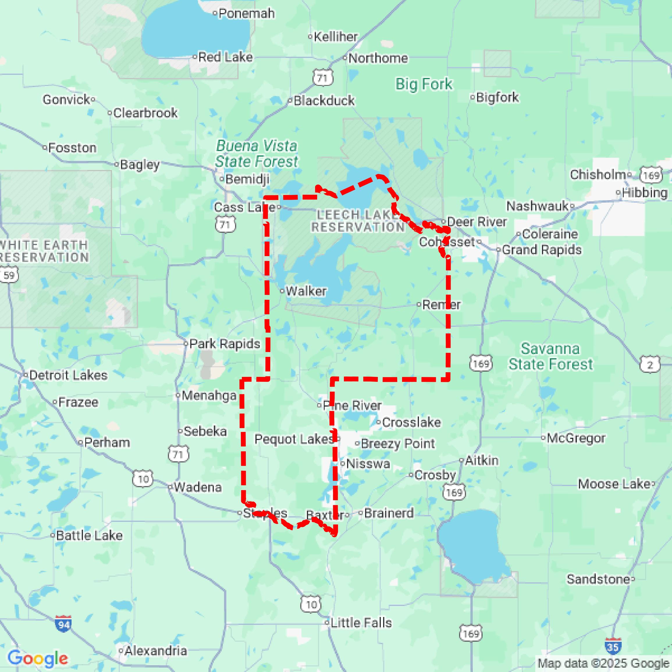

Data Available
Download GIS Data for Cass County
Parcels and Buildings
This image shows parcel and building data in Cass County created using GIS data in Equator.
Get Parcels and Buildings for Cass County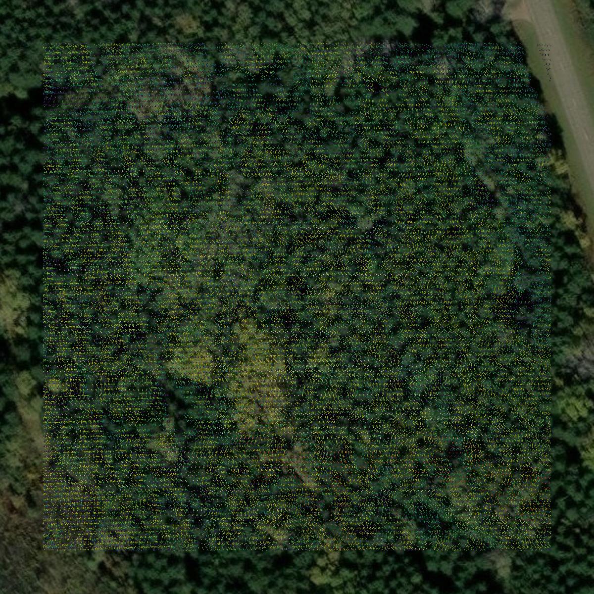
LiDAR
This image shows a LiDAR point cloud in Cass County created using GIS data in Equator.
Get LiDAR for Cass County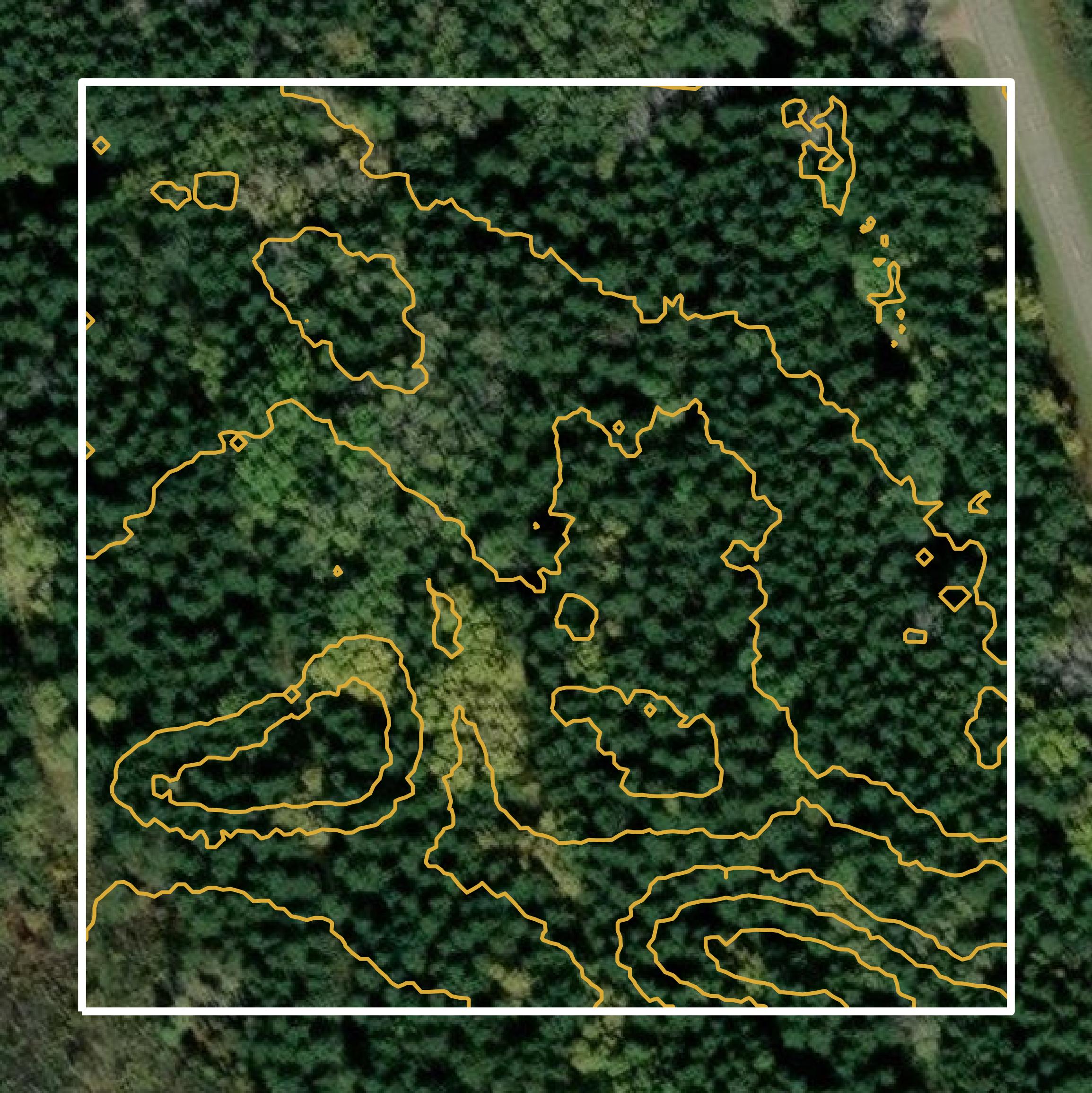
Contours
This image shows a contour map in Cass County created using GIS data in Equator.
Get Contours for Cass CountyFormats Available
Export Your Data Ready to Use in Multiple Formats
DWG
AutoCAD Drawing - Industry-standard CAD format
Supported Data:
Contour, Parcel, Building Outline
SHP
Shapefile - Standard GIS vector format
Supported Data:
Contour, Parcel, Building Outline
DXF
Drawing Exchange Format - Universal CAD interchange
Supported Data:
Contour, Building Outline
GeoJSON
Geographic JSON - Web-friendly spatial data format
Supported Data:
Contour, Parcel, Building Outline
LAZ
Compressed LAS - Efficient LiDAR point cloud format
Supported Data:
Point Cloud
SVG
Scalable Vector Graphics - Web vector format
Supported Data:
Contour, Building Outline
GPKG (Coming Soon)
GeoPackage - Modern OGC spatial database format
Supported Data:
Contour, Parcel, Building Outline
LandXML (Coming Soon)
Land XML - Civil engineering data exchange format
Supported Data:
Point Cloud
TIN (Coming Soon)
Triangulated Irregular Network - 3D surface model
Supported Data:
Point Cloud
XYZ (Coming Soon)
XYZ Point Cloud - Simple ASCII point cloud format
Supported Data:
Point Cloud
Background
GIS Data for Cass County
The Cass County, Minnesota GIS Map Services webpage provides access to a variety of geographic information system (GIS) datasets and mapping tools. Users can explore interactive web mapping applications that display county tax parcel information, including details on driveway and road data, plat and parcel dimensions, aerial imagery, conservation easements, and soil surveys. Additional resources include property sales reports, permit histories, and assessment field cards. The site also features a forestry web mapping service that highlights timber sales and forest trails. Downloadable GIS shapefiles are available at no cost, and various reference maps, such as election districts and land ownership, can be accessed in PDF format.
Access Cass County GIS Data in Equator →Cass County Portal →Showcase
Sample GIS Data for Cass County
Parcels and Buildings
Parcel and building data in Cass County are used in a variety of fields including architecture, real estate, and urban planning.
Get Parcels and Buildings for Cass CountyLiDAR
Point clouds (LiDAR) in Cass County can produce highly accurate 3D models of terrain, structures, and vegetation.
Get LiDAR for Cass CountyContours
Contours in Cass County visualize 3D elevations on a 2D surface allowing you to better understand your site.
Get Contours for Cass County