Overview
St. Louis County GIS Data – For CAD
Equator helps civil engineering, architecture and consulting firms with the tools to instantly find, process and download accurate LiDAR, contours, parcel data, building footprints, DEMs, point clouds and other GIS data for St. Louis County in an online web mapping portal.
St. Louis County GIS Data →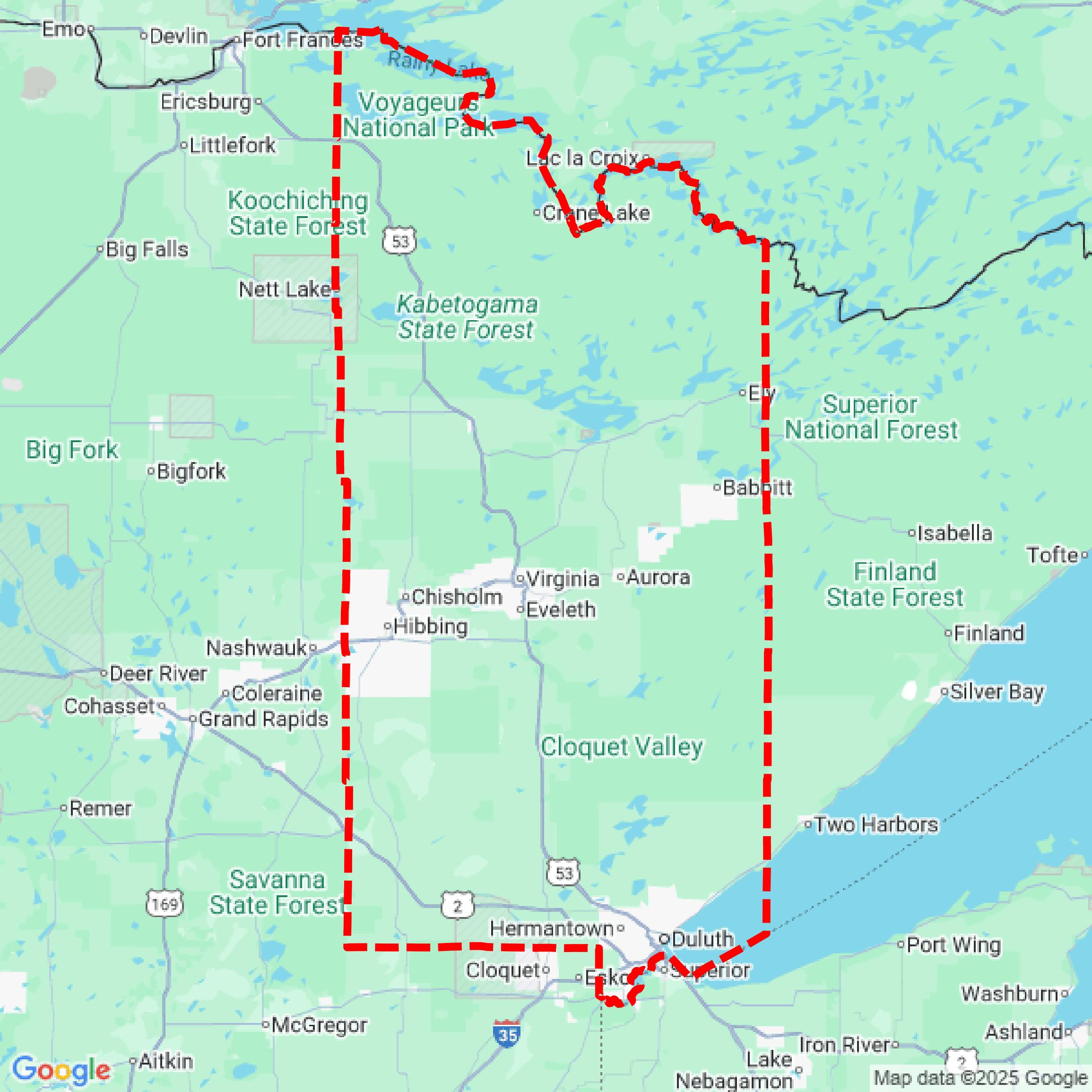

Data Available
Download GIS Data for St. Louis County
Parcels and Buildings
This image shows parcel and building data in St. Louis County created using GIS data in Equator.
Get Parcels and Buildings for St. Louis County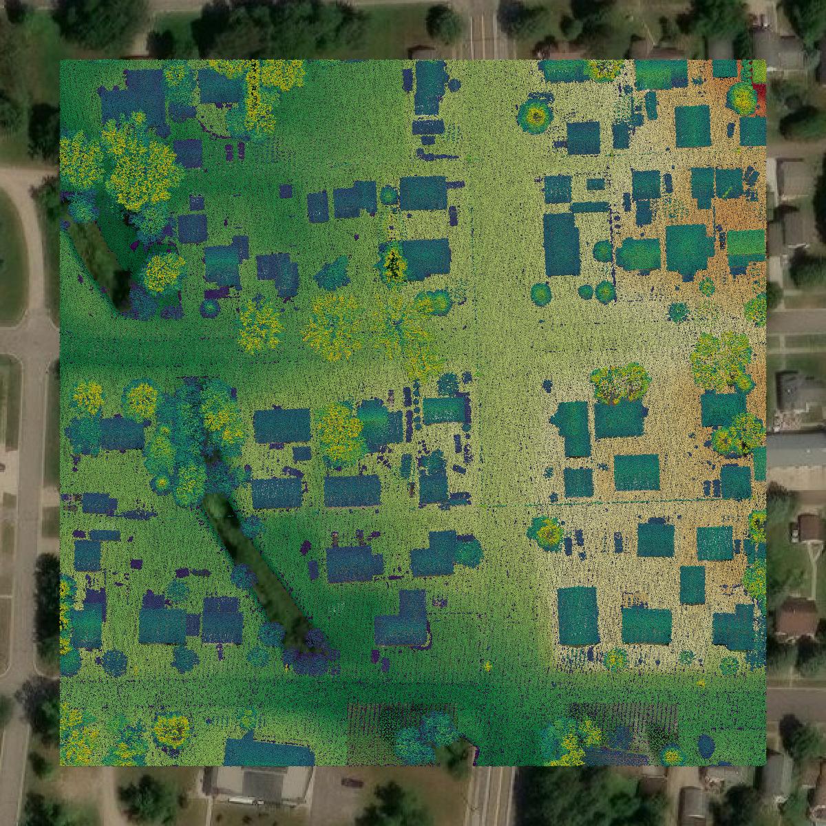
LiDAR
This image shows a LiDAR point cloud in St. Louis County created using GIS data in Equator.
Get LiDAR for St. Louis County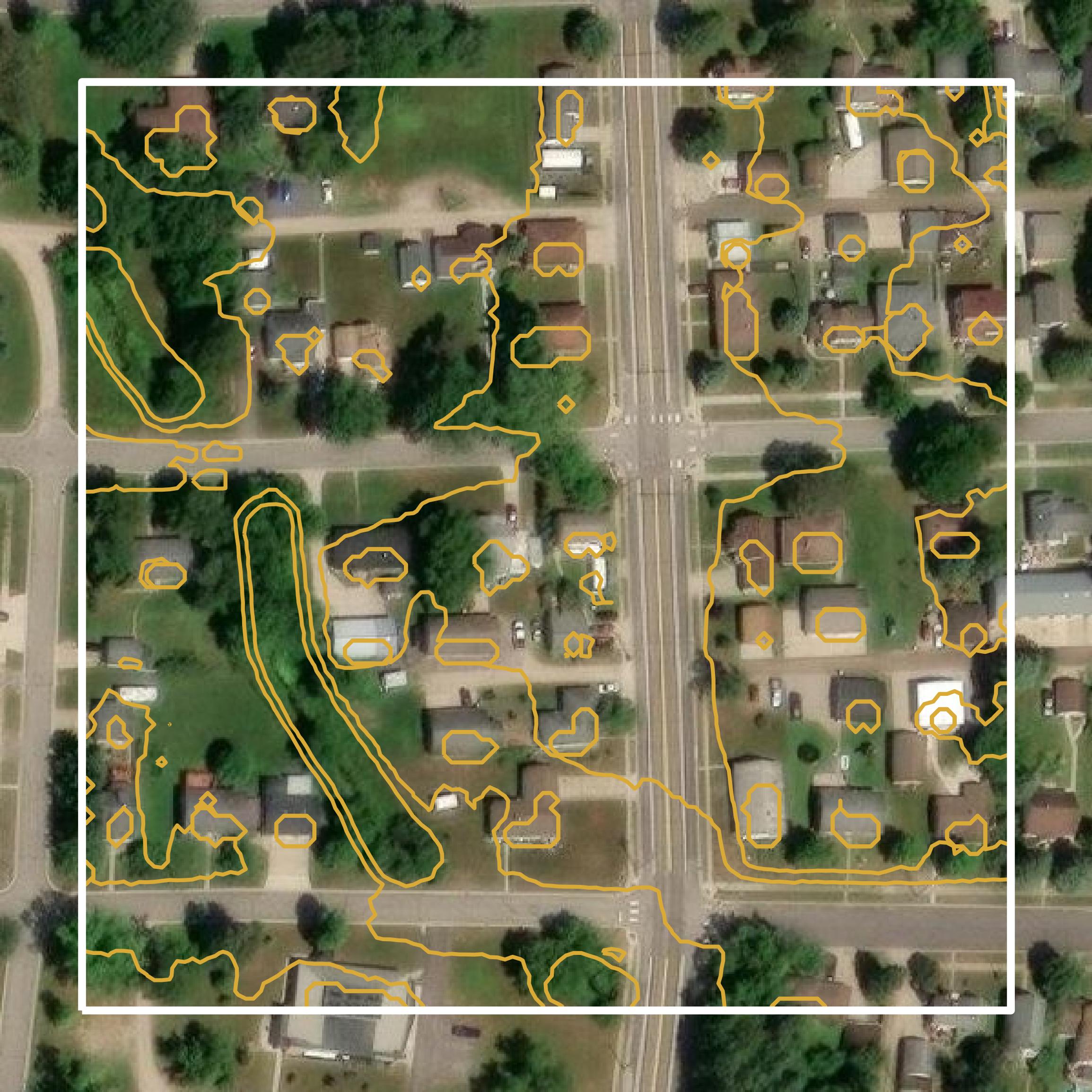
Contours
This image shows a contour map in St. Louis County created using GIS data in Equator.
Get Contours for St. Louis CountyBackground
GIS Data for St. Louis County
The County Land Explorer webpage for St. Louis County, Minnesota, serves as an interactive mapping application that provides access to various geographic information system (GIS) datasets and spatial data resources. Users can explore land record data, including parcel information, zoning details, aerial imagery, and environmental data. The platform features thematic layers such as market sales and value, public safety, and aquatic invasive species, allowing for detailed inquiries by parcel identification number (PIN), address, and other search methods. Additionally, the site offers resources like a map gallery and a plat book, enhancing the accessibility of county land information.
Access St. Louis County GIS Data in Equator →St. Louis County Portal →Showcase
Sample GIS Data for St. Louis County
Parcels and Buildings
Parcel and building data in St. Louis County are used in a variety of fields including architecture, real estate, and urban planning.
Get Parcels and Buildings for St. Louis County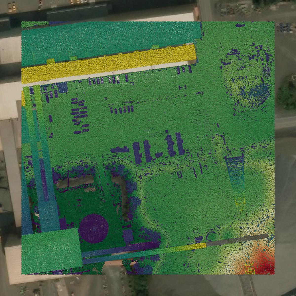
LiDAR
Point clouds (LiDAR) in St. Louis County can produce highly accurate 3D models of terrain, structures, and vegetation.
Get LiDAR for St. Louis County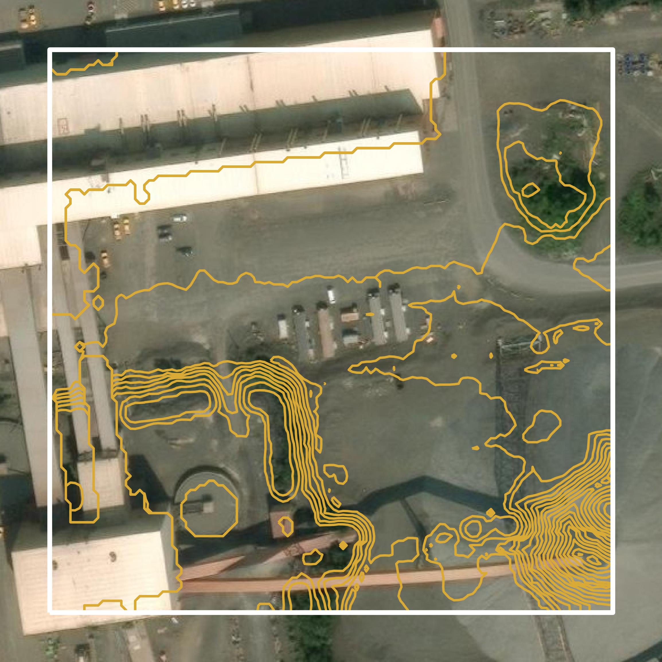
Contours
Contours in St. Louis County visualize 3D elevations on a 2D surface allowing you to better understand your site.
Get Contours for St. Louis County