Overview
Chemung County GIS Data – For CAD
Equator helps civil engineering, architecture and consulting firms with the tools to instantly find, process and download accurate LiDAR, contours, parcel data, building footprints, DEMs, point clouds and other GIS data for Chemung County in an online web mapping portal.
Chemung County GIS Data →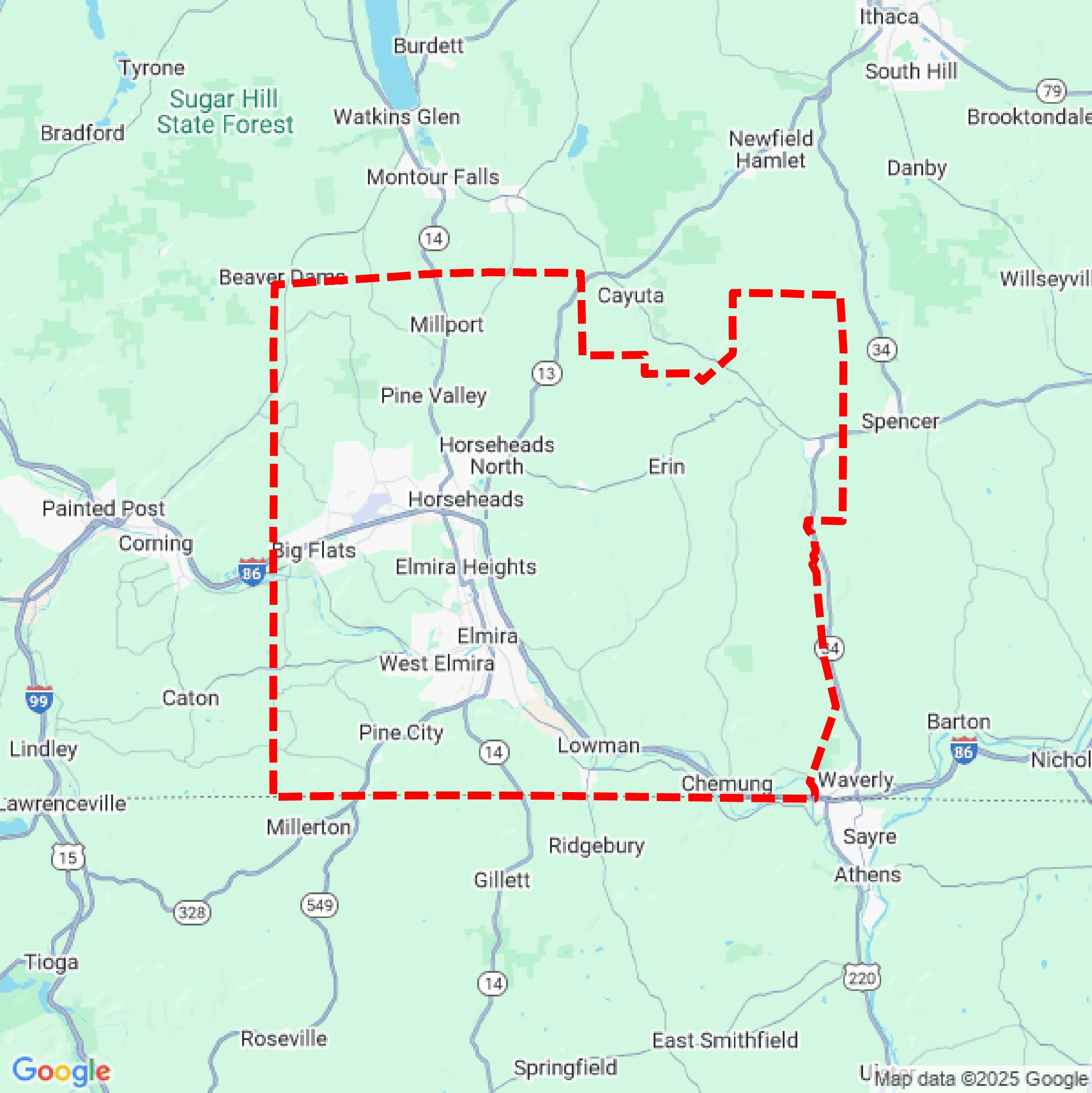

Data Available
Download GIS Data for Chemung County
Parcels and Buildings
This image shows parcel and building data in Chemung County created using GIS data in Equator.
Get Parcels and Buildings for Chemung CountyLiDAR
This image shows a LiDAR point cloud in Chemung County created using GIS data in Equator.
Get LiDAR for Chemung CountyContours
This image shows a contour map in Chemung County created using GIS data in Equator.
Get Contours for Chemung CountyFormats Available
Export Your Data Ready to Use in Multiple Formats
DWG
AutoCAD Drawing - Industry-standard CAD format
Supported Data:
Contour, Parcel, Building Outline
SHP
Shapefile - Standard GIS vector format
Supported Data:
Contour, Parcel, Building Outline
DXF
Drawing Exchange Format - Universal CAD interchange
Supported Data:
Contour, Building Outline
GeoJSON
Geographic JSON - Web-friendly spatial data format
Supported Data:
Contour, Parcel, Building Outline
LAZ
Compressed LAS - Efficient LiDAR point cloud format
Supported Data:
Point Cloud
SVG
Scalable Vector Graphics - Web vector format
Supported Data:
Contour, Building Outline
GPKG (Coming Soon)
GeoPackage - Modern OGC spatial database format
Supported Data:
Contour, Parcel, Building Outline
LandXML (Coming Soon)
Land XML - Civil engineering data exchange format
Supported Data:
Point Cloud
TIN (Coming Soon)
Triangulated Irregular Network - 3D surface model
Supported Data:
Point Cloud
XYZ (Coming Soon)
XYZ Point Cloud - Simple ASCII point cloud format
Supported Data:
Point Cloud
Background
GIS Data for Chemung County
The GIS Mapping Data webpage for Chemung County, New York, offers a comprehensive collection of geographic information system (GIS) datasets and maps. Available resources include tax parcel data, county boundaries, legislative districts, aerial imagery, road centerlines, surface water features, aquifers, soil types, municipal boundaries, census tracts, flood zones, trails, zip code boundaries, and transit routes. Each dataset is accompanied by links for downloading in various formats, such as SHP and KMZ, along with information on the last update date. Users seeking orthoimages are directed to contact the Planning Department for access.
Access Chemung County GIS Data in Equator →Chemung County Portal →Showcase
Sample GIS Data for Chemung County
Parcels and Buildings
Parcel and building data in Chemung County are used in a variety of fields including architecture, real estate, and urban planning.
Get Parcels and Buildings for Chemung CountyLiDAR
Point clouds (LiDAR) in Chemung County can produce highly accurate 3D models of terrain, structures, and vegetation.
Get LiDAR for Chemung CountyContours
Contours in Chemung County visualize 3D elevations on a 2D surface allowing you to better understand your site.
Get Contours for Chemung County