Overview
Steuben County GIS Data – For CAD
Equator helps civil engineering, architecture and consulting firms with the tools to instantly find, process and download accurate LiDAR, contours, parcel data, building footprints, DEMs, point clouds and other GIS data for Steuben County in an online web mapping portal.
Steuben County GIS Data →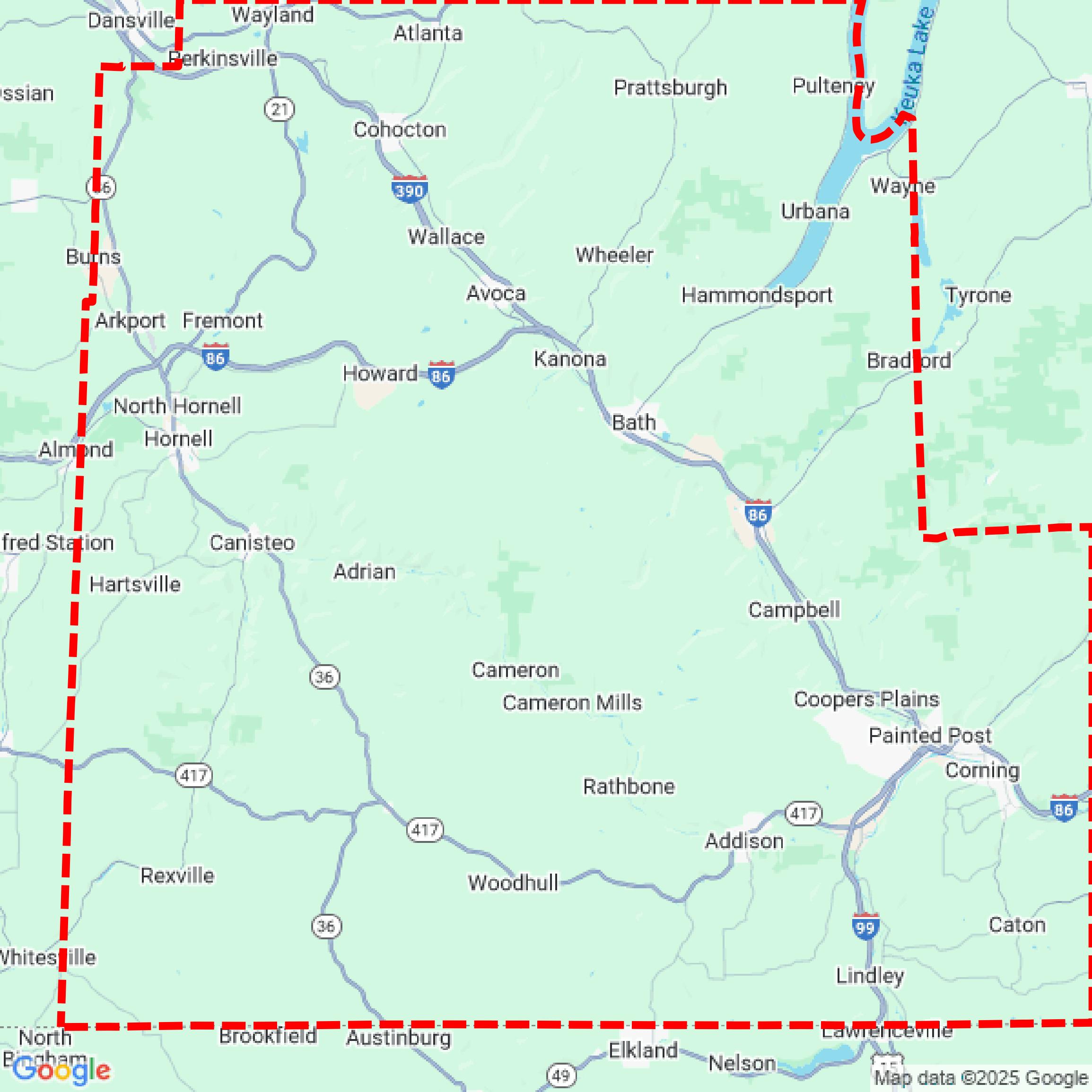

Data Available
Download GIS Data for Steuben County
Parcels and Buildings
This image shows parcel and building data in Steuben County created using GIS data in Equator.
Get Parcels and Buildings for Steuben CountyLiDAR
This image shows a LiDAR point cloud in Steuben County created using GIS data in Equator.
Get LiDAR for Steuben CountyContours
This image shows a contour map in Steuben County created using GIS data in Equator.
Get Contours for Steuben CountyFormats Available
Export Your Data Ready to Use in Multiple Formats
DWG
AutoCAD Drawing - Industry-standard CAD format
Supported Data:
Contour, Parcel, Building Outline
SHP
Shapefile - Standard GIS vector format
Supported Data:
Contour, Parcel, Building Outline
DXF
Drawing Exchange Format - Universal CAD interchange
Supported Data:
Contour, Building Outline
GeoJSON
Geographic JSON - Web-friendly spatial data format
Supported Data:
Contour, Parcel, Building Outline
LAZ
Compressed LAS - Efficient LiDAR point cloud format
Supported Data:
Point Cloud
SVG
Scalable Vector Graphics - Web vector format
Supported Data:
Contour, Building Outline
GPKG (Coming Soon)
GeoPackage - Modern OGC spatial database format
Supported Data:
Contour, Parcel, Building Outline
LandXML (Coming Soon)
Land XML - Civil engineering data exchange format
Supported Data:
Point Cloud
TIN (Coming Soon)
Triangulated Irregular Network - 3D surface model
Supported Data:
Point Cloud
XYZ (Coming Soon)
XYZ Point Cloud - Simple ASCII point cloud format
Supported Data:
Point Cloud
Background
GIS Data for Steuben County
The Energy & Environment webpage for Steuben County, NY, provides access to various Geographic Information System (GIS) resources aimed at promoting local energy production and environmental protection. Key offerings include a GIS map application that displays Prime and other important farmlands alongside three-phase power transmission lines, facilitating informed decision-making for local municipalities regarding farmland preservation and solar development. Additionally, the site features information related to water quality initiatives, solid waste management, and links to state and federal environmental resources, enhancing the county's efforts in sustainable development and resource management.
Access Steuben County GIS Data in Equator →Steuben County Portal →Showcase
Sample GIS Data for Steuben County
Parcels and Buildings
Parcel and building data in Steuben County are used in a variety of fields including architecture, real estate, and urban planning.
Get Parcels and Buildings for Steuben CountyLiDAR
Point clouds (LiDAR) in Steuben County can produce highly accurate 3D models of terrain, structures, and vegetation.
Get LiDAR for Steuben CountyContours
Contours in Steuben County visualize 3D elevations on a 2D surface allowing you to better understand your site.
Get Contours for Steuben County