
Overview
Dutchess County GIS Data - For CAD
Equator helps civil engineering, architecture and consulting firms with the tools to instantly find, process and download accurate LiDAR, contours, parcel data, building footprints, DEMs, point clouds and other GIS data for Dutchess County in an online web mapping portal.
Dutchess County GIS Data ->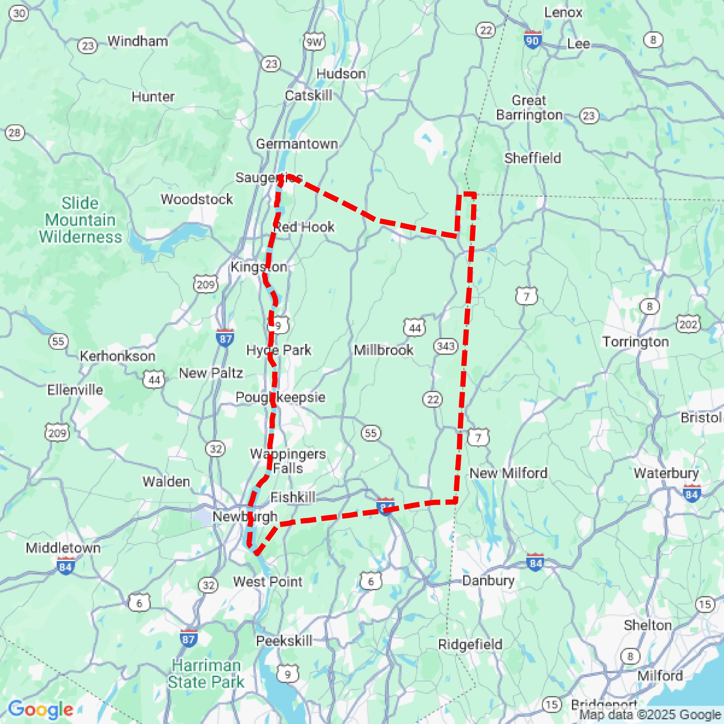

Data Available
Download GIS Data for Dutchess County
Formats Available
Export Your Data Ready to Use in Multiple Formats
DWG
AutoCAD Drawing - Industry-standard CAD format
Supported Data:
Contour, Parcel, Building Outline
SHP
Shapefile - Standard GIS vector format
Supported Data:
Contour, Parcel, Building Outline
DXF
Drawing Exchange Format - Universal CAD interchange
Supported Data:
Contour, Building Outline
GeoJSON
Geographic JSON - Web-friendly spatial data format
Supported Data:
Contour, Parcel, Building Outline
LAZ
Compressed LAS - Efficient LiDAR point cloud format
Supported Data:
Point Cloud
SVG
Scalable Vector Graphics - Web vector format
Supported Data:
Contour, Building Outline
GPKG
GeoPackage - Modern OGC spatial database format
Supported Data:
Contour, Parcel, Building Outline
LandXML (Coming Soon)
Land XML - Civil engineering data exchange format
Supported Data:
Point Cloud
TIN (Coming Soon)
Triangulated Irregular Network - 3D surface model
Supported Data:
Point Cloud
XYZ (Coming Soon)
XYZ Point Cloud - Simple ASCII point cloud format
Supported Data:
Point Cloud
Background
GIS Data for Dutchess County
The Dutchess County GIS portal provides a comprehensive range of geographic information system (GIS) datasets, maps, and spatial data resources. Key offerings include parcel data with property boundaries and detailed property information, zoning maps for municipal codes, and a searchable address information tool. Users can access a Parks & Trails map featuring nearly 200 parks and 380 miles of trails, along with a bicycle route map. Additional resources include historic aerial imagery dating back to 1936, traffic data visualizations, and tools for assessing agricultural districts and legislative boundaries. The portal serves as a valuable resource for planning, research, and public engagement in Dutchess County, New York.
Access Dutchess County GIS Data in Equator →Dutchess County Portal →