
Overview
Erie County GIS Data - For CAD
Equator helps civil engineering, architecture and consulting firms with the tools to instantly find, process and download accurate LiDAR, contours, parcel data, building footprints, DEMs, point clouds and other GIS data for Erie County in an online web mapping portal.
Erie County GIS Data ->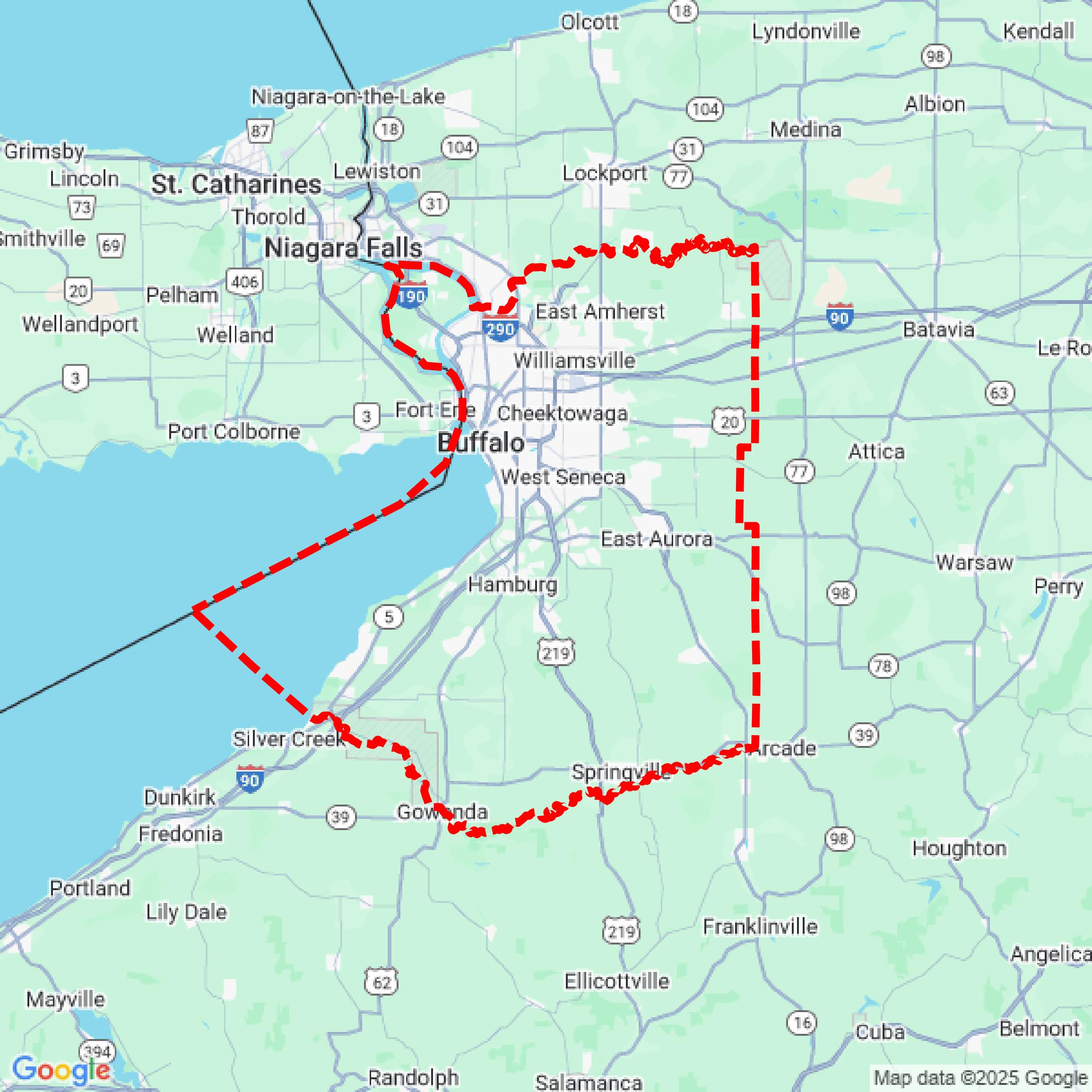

Data Available
Download GIS Data for Erie County
Parcels and Buildings
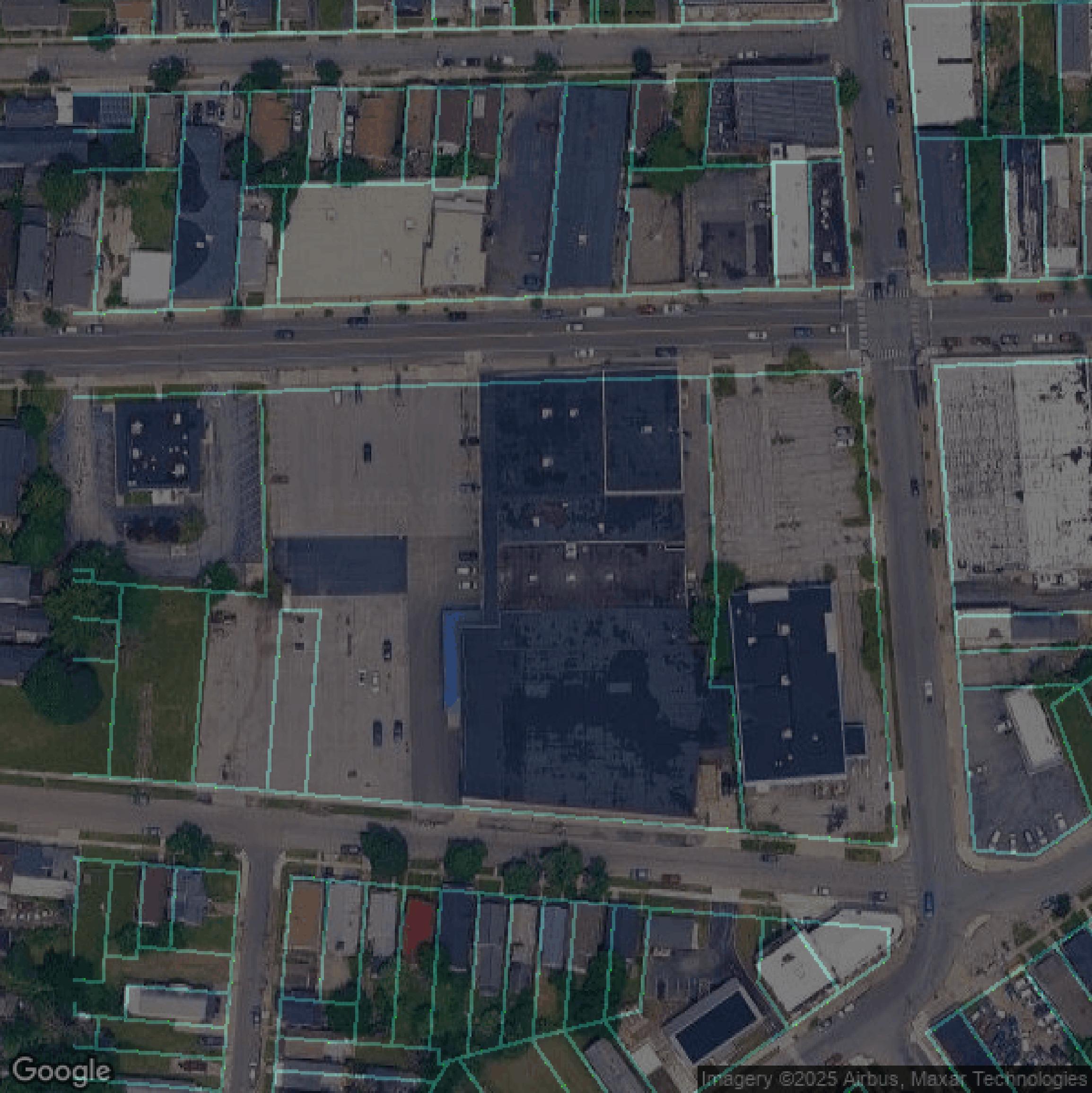
This image shows parcel and building data in Erie County created using GIS data in Equator.
LiDAR
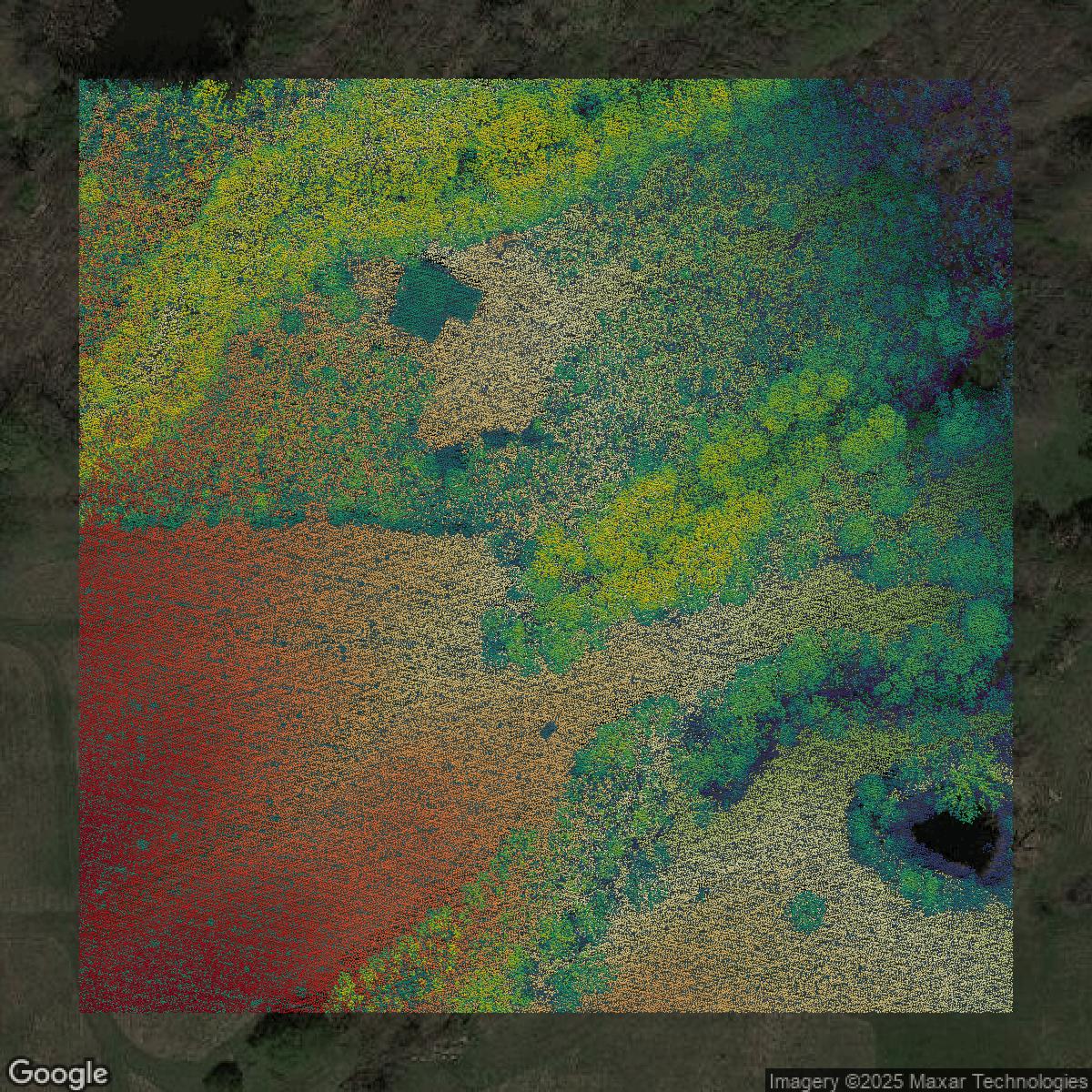
This image shows a LiDAR point cloud in Erie County created using GIS data in Equator.
Contours
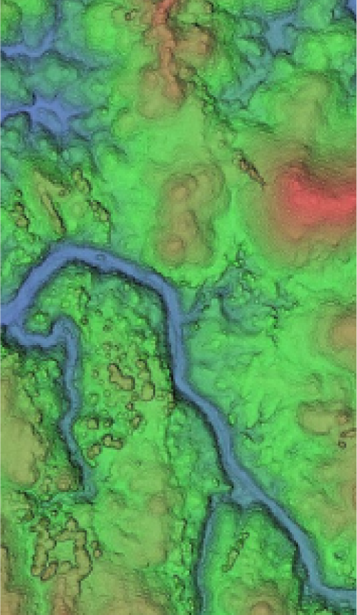
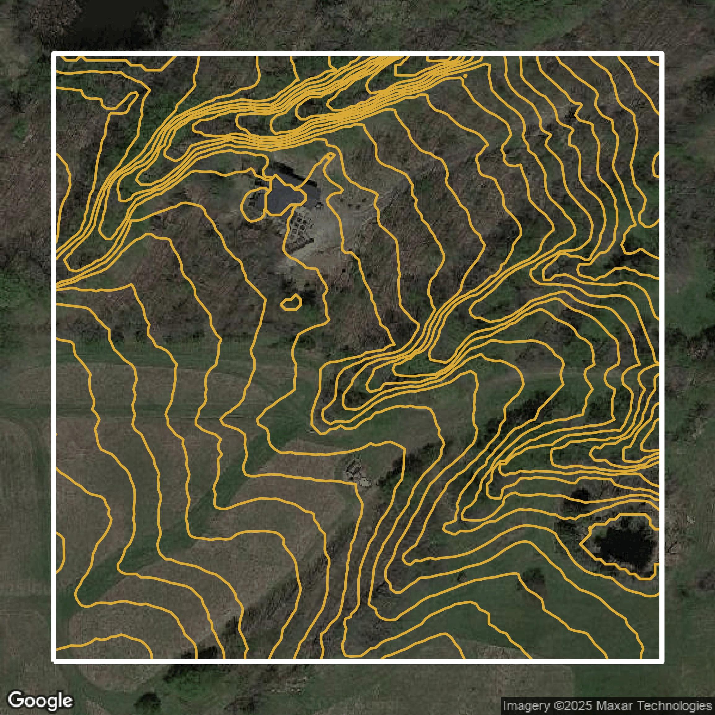
This image shows a contour map in Erie County created using GIS data in Equator.
Formats Available
Export Your Data Ready to Use in Multiple Formats
DWG
AutoCAD Drawing - Industry-standard CAD format
Supported Data:
Contour, Parcel, Building Outline
SHP
Shapefile - Standard GIS vector format
Supported Data:
Contour, Parcel, Building Outline
DXF
Drawing Exchange Format - Universal CAD interchange
Supported Data:
Contour, Building Outline
GeoJSON
Geographic JSON - Web-friendly spatial data format
Supported Data:
Contour, Parcel, Building Outline
LAZ
Compressed LAS - Efficient LiDAR point cloud format
Supported Data:
Point Cloud
SVG
Scalable Vector Graphics - Web vector format
Supported Data:
Contour, Building Outline
GPKG
GeoPackage - Modern OGC spatial database format
Supported Data:
Contour, Parcel, Building Outline
LandXML (Coming Soon)
Land XML - Civil engineering data exchange format
Supported Data:
Point Cloud
TIN (Coming Soon)
Triangulated Irregular Network - 3D surface model
Supported Data:
Point Cloud
XYZ (Coming Soon)
XYZ Point Cloud - Simple ASCII point cloud format
Supported Data:
Point Cloud
Background
GIS Data for Erie County
The Erie County Internet Mapping website offers a powerful “Erie County Interactive Mapping Viewer” called Erie County On-Map, allowing users to search tax parcel data, view aerial photography and Pictometry, and create custom maps. Visitors can explore a broad range of authoritative data layers, including “STREETS AND HIGHWAYS” from the NYS GIS Program Office, current tax “PARCELS” maintained by the Erie County Office of GIS, “ZIPCODES” from the U.S. Census Bureau, and key administrative boundaries such as “ERIE COUNTY SCHOOL DISTRICTS” and “ERIE COUNTY LEGISLATURE DISTRICTS.” Natural features are well represented with layers like “STREAMS” and “LAKES/PONDS” from the USGS National Hydrography Dataset, “DEC WETLANDS” regulated by NYS DEC, and the federal “NATIONAL WETLANDS INVENTORY.” Flood risk information is provided via “FEMA PENDING FLOODPLAINS” showing 100-year flood zones, while land use and agriculture data are accessible through “AGRICULTURAL DISTRICTS” and “DETAILED SOILS” from USDA NRCS SSURGO Soils. The site is designed for ease of viewing and querying data layers, offering essential geographic information tools for residents, planners, and professionals engaging with Erie County’s spatial data.
Access Erie County GIS Data in Equator →Erie County Portal →