Overview
Monroe County GIS Data - For CAD
Equator helps civil engineering, architecture and consulting firms with the tools to instantly find, process and download accurate LiDAR, contours, parcel data, building footprints, DEMs, point clouds and other GIS data for Monroe County in an online web mapping portal.
Monroe County GIS Data ->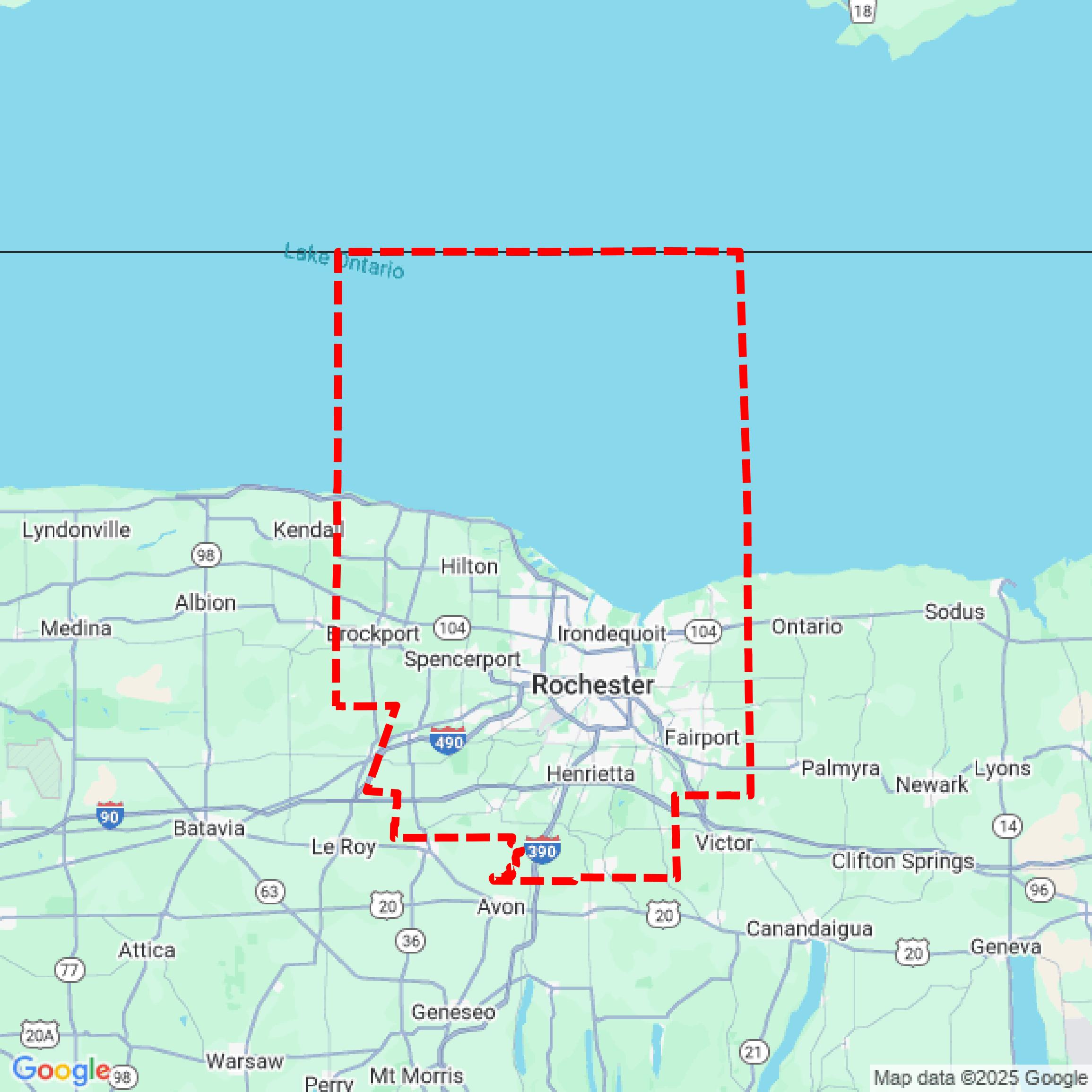

Data Available
Download GIS Data for Monroe County
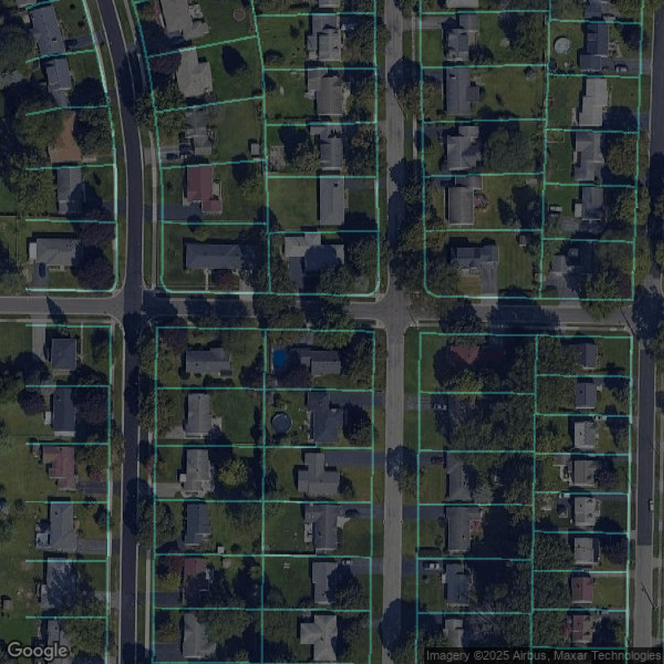
Parcels and Buildings
This image shows parcel and building data in Monroe County created using GIS data in Equator.
Formats Available
Export Your Data Ready to Use in Multiple Formats
DWG
AutoCAD Drawing - Industry-standard CAD format
Supported Data:
Contour, Parcel, Building Outline
SHP
Shapefile - Standard GIS vector format
Supported Data:
Contour, Parcel, Building Outline
DXF
Drawing Exchange Format - Universal CAD interchange
Supported Data:
Contour, Building Outline
GeoJSON
Geographic JSON - Web-friendly spatial data format
Supported Data:
Contour, Parcel, Building Outline
LAZ
Compressed LAS - Efficient LiDAR point cloud format
Supported Data:
Point Cloud
SVG
Scalable Vector Graphics - Web vector format
Supported Data:
Contour, Building Outline
GPKG
GeoPackage - Modern OGC spatial database format
Supported Data:
Contour, Parcel, Building Outline
LandXML (Coming Soon)
Land XML - Civil engineering data exchange format
Supported Data:
Point Cloud
TIN (Coming Soon)
Triangulated Irregular Network - 3D surface model
Supported Data:
Point Cloud
XYZ (Coming Soon)
XYZ Point Cloud - Simple ASCII point cloud format
Supported Data:
Point Cloud
Background
GIS Data for Monroe County
The Monroe County Geographic Information System (GIS) portal provides a comprehensive range of spatial data resources, including parcel data, zoning maps, and aerial imagery. Users can access various GIS datasets and interactive maps, as well as downloadable municipal maps. The site facilitates access to records and archives related to geographic information, supporting the needs of county departments and local municipalities. Additionally, the portal promotes the use of GIS technology for effective planning and development within the community.
Access Monroe County GIS Data in Equator →Monroe County Portal →