Overview
Cameron County GIS Data – For CAD
Equator helps civil engineering, architecture and consulting firms with the tools to instantly find, process and download accurate LiDAR, contours, parcel data, building footprints, DEMs, point clouds and other GIS data for Cameron County in an online web mapping portal.
Cameron County GIS Data →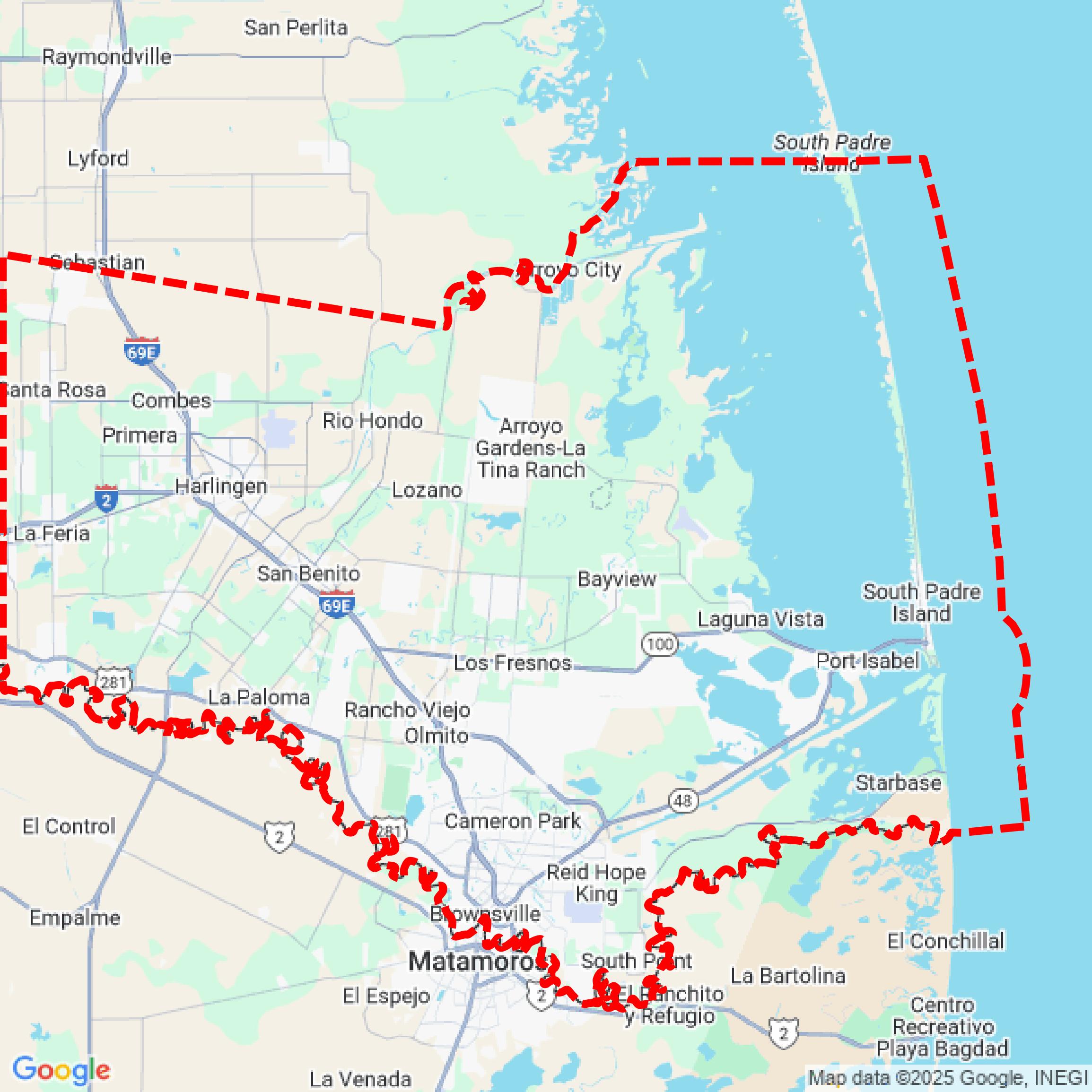

Data Available
Download GIS Data for Cameron County
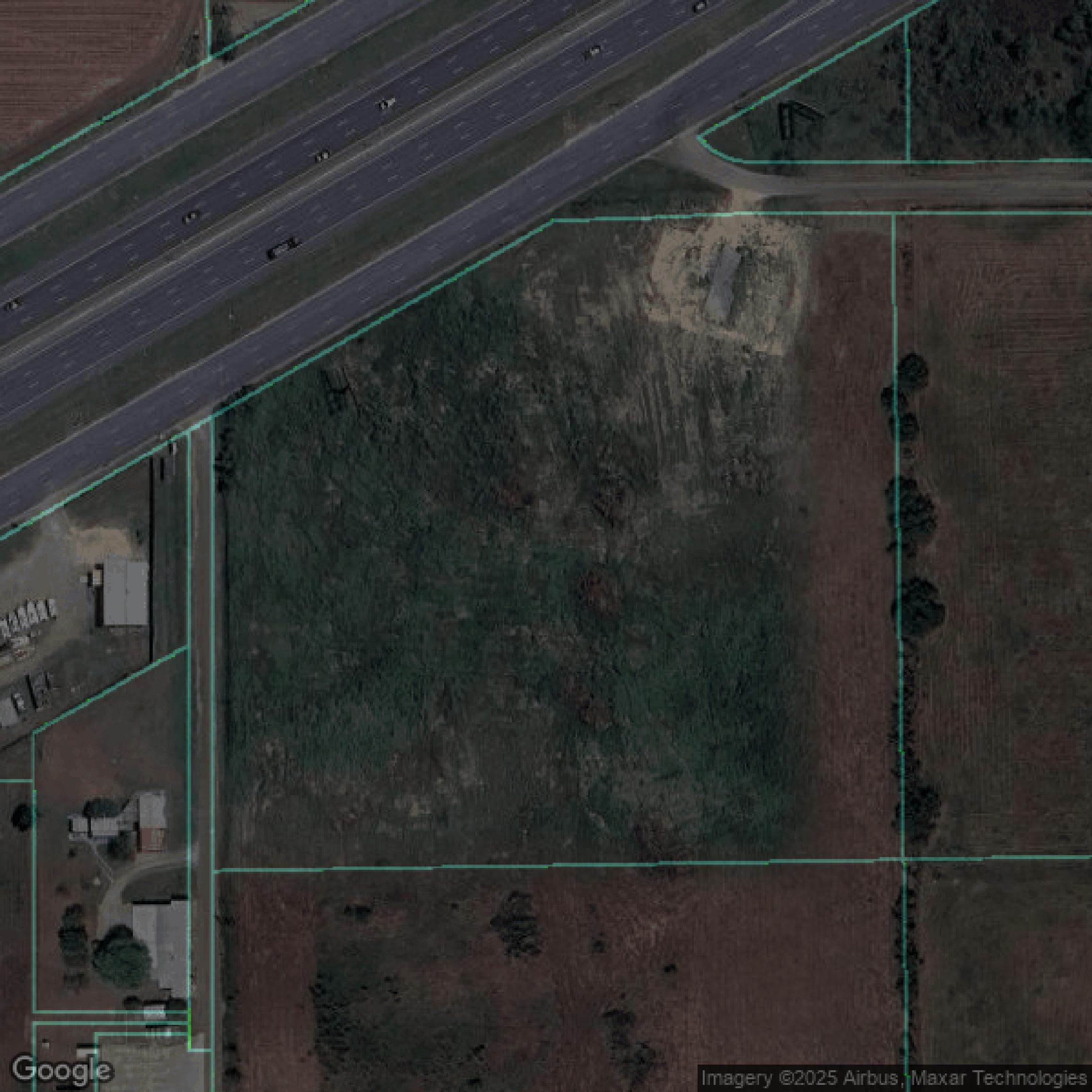
Parcels and Buildings
This image shows parcel and building data in Cameron County created using GIS data in Equator.
Get Parcels and Buildings for Cameron County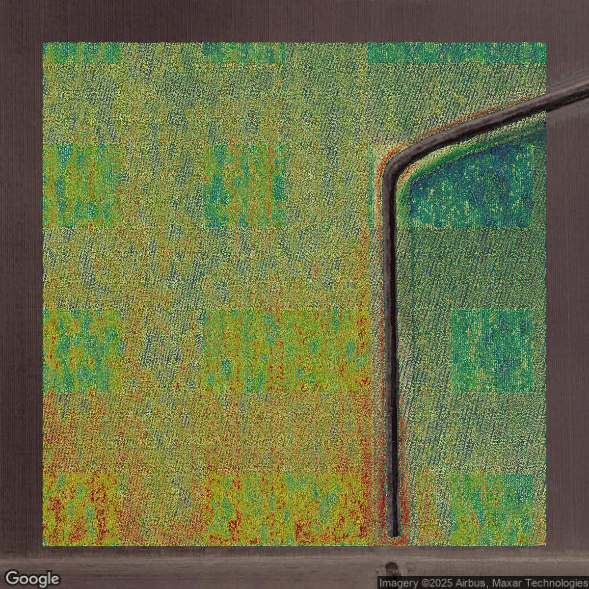
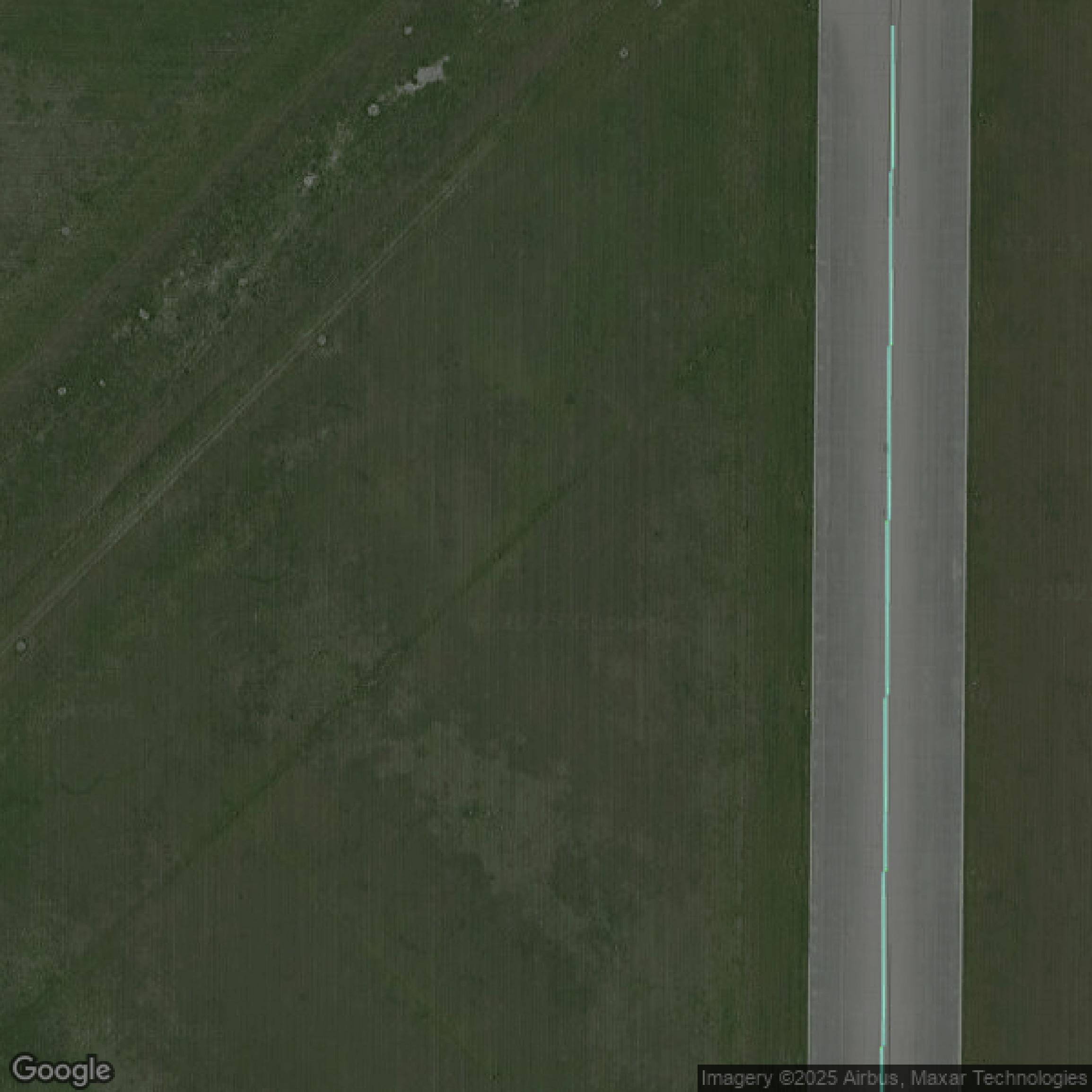
LiDAR
This image shows a LiDAR point cloud in Cameron County created using GIS data in Equator.
Get LiDAR for Cameron County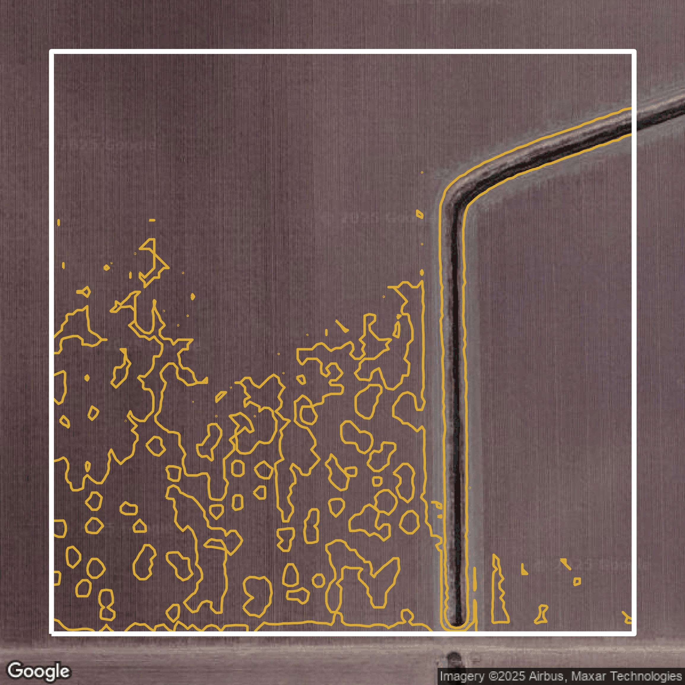
Contours
This image shows a contour map in Cameron County created using GIS data in Equator.
Get Contours for Cameron CountyFormats Available
Export Your Data Ready to Use in Multiple Formats
DWG
AutoCAD Drawing - Industry-standard CAD format
Supported Data:
Contour, Parcel, Building Outline
SHP
Shapefile - Standard GIS vector format
Supported Data:
Contour, Parcel, Building Outline
DXF
Drawing Exchange Format - Universal CAD interchange
Supported Data:
Contour, Building Outline
GeoJSON
Geographic JSON - Web-friendly spatial data format
Supported Data:
Contour, Parcel, Building Outline
LAZ
Compressed LAS - Efficient LiDAR point cloud format
Supported Data:
Point Cloud
SVG
Scalable Vector Graphics - Web vector format
Supported Data:
Contour, Building Outline
GPKG (Coming Soon)
GeoPackage - Modern OGC spatial database format
Supported Data:
Contour, Parcel, Building Outline
LandXML (Coming Soon)
Land XML - Civil engineering data exchange format
Supported Data:
Point Cloud
TIN (Coming Soon)
Triangulated Irregular Network - 3D surface model
Supported Data:
Point Cloud
XYZ (Coming Soon)
XYZ Point Cloud - Simple ASCII point cloud format
Supported Data:
Point Cloud
Background
GIS Data for Cameron County
The Cameron County, Texas, official GIS or open data portal provides access to a range of datasets related to inmate information, including booking dates, names, charges, bond amounts, and associated law enforcement agencies. The webpage features detailed records of individuals currently incarcerated or previously detained, along with various legal charges, which may encompass serious offenses such as aggravated assault, murder, and drug-related crimes. This information serves as a resource for understanding the local criminal justice landscape and is part of the county's commitment to transparency in public data.
Access Cameron County GIS Data in Equator →Cameron County Portal →Showcase
Sample GIS Data for Cameron County
Parcels and Buildings
Parcel and building data in Cameron County are used in a variety of fields including architecture, real estate, and urban planning.
Get Parcels and Buildings for Cameron County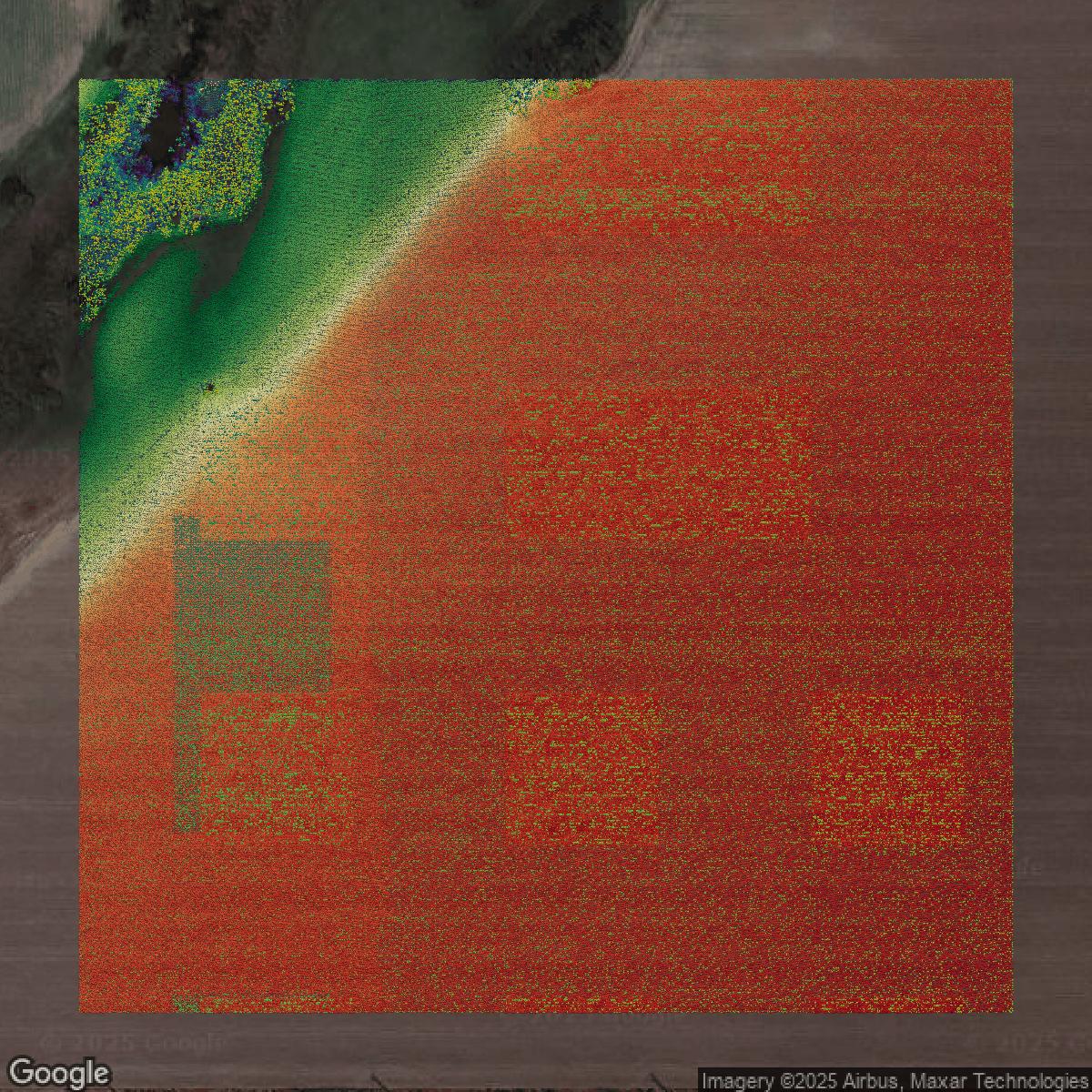
LiDAR
Point clouds (LiDAR) in Cameron County can produce highly accurate 3D models of terrain, structures, and vegetation.
Get LiDAR for Cameron County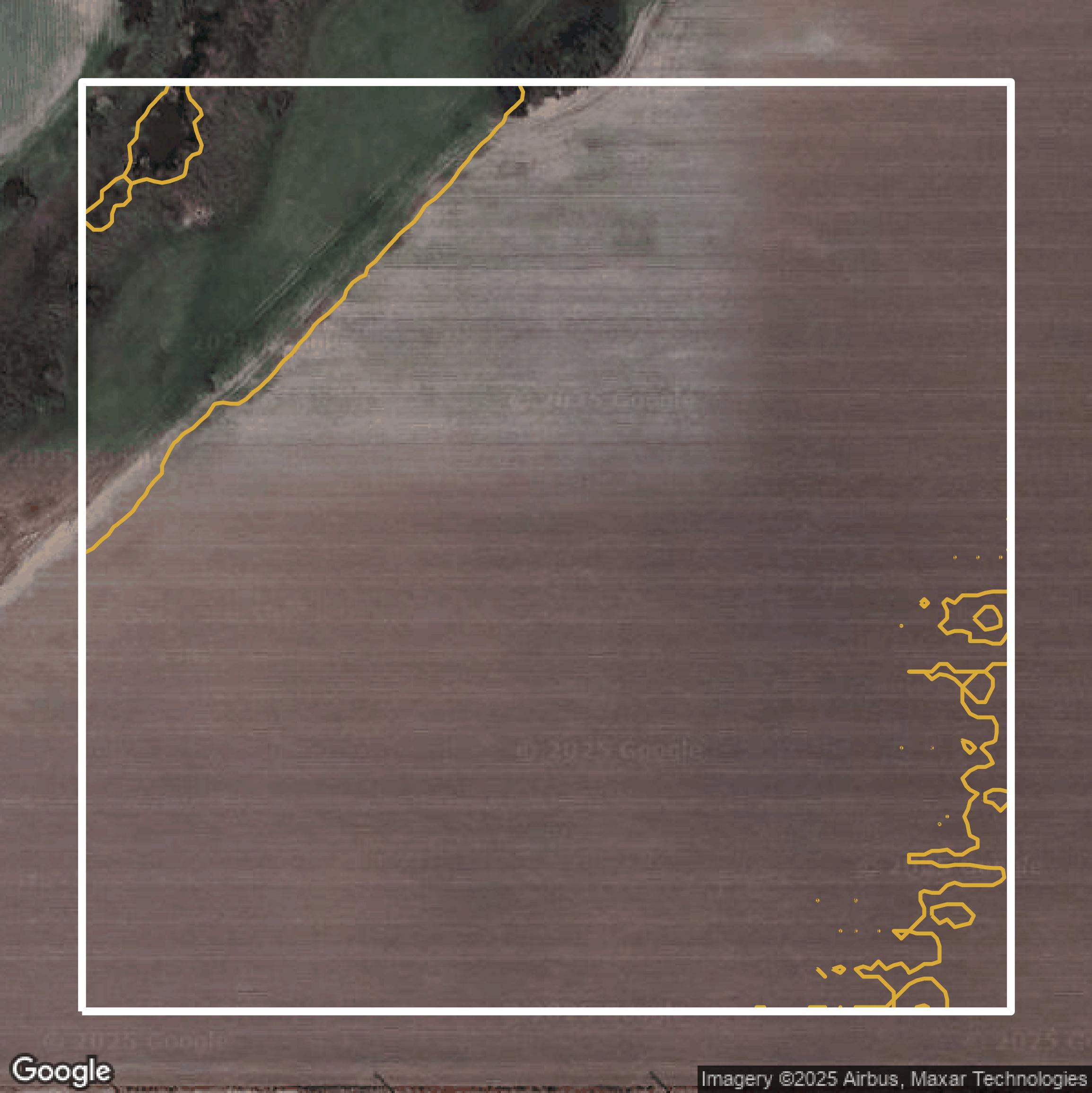
Contours
Contours in Cameron County visualize 3D elevations on a 2D surface allowing you to better understand your site.
Get Contours for Cameron County