Overview
Kusilvak Census Area GIS Data - For CAD
Equator helps civil engineering, architecture and consulting firms with the tools to instantly find, process and download accurate LiDAR, contours, parcel data, building footprints, DEMs, point clouds and other GIS data for Kusilvak Census Area in an online web mapping portal.
Kusilvak Census Area GIS Data ->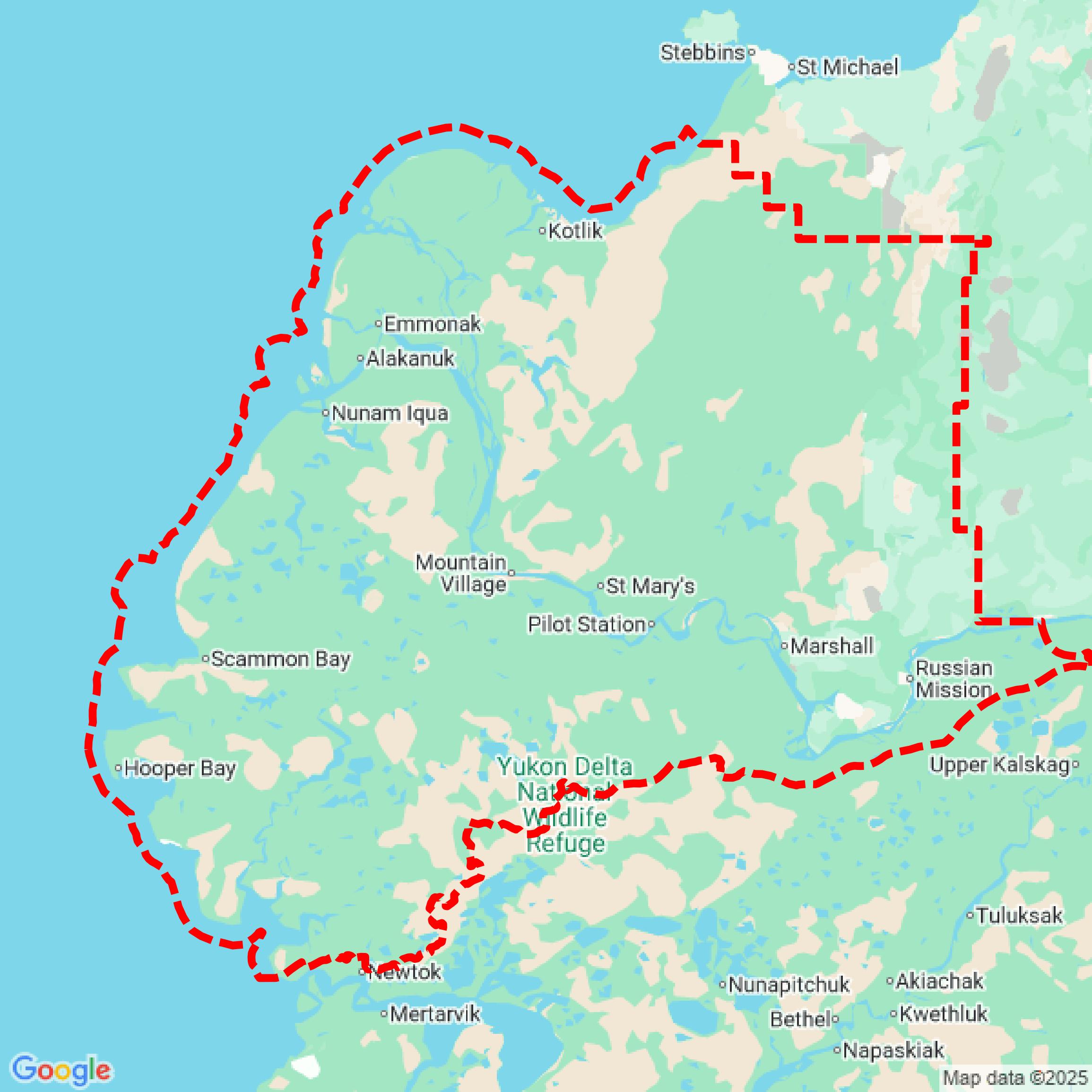

Data Available
Download GIS Data for Kusilvak Census Area

Parcels and Buildings
This image shows parcel and building data in Kusilvak Census Area created using GIS data in Equator.
Formats Available
Export Your Data Ready to Use in Multiple Formats
DWG
AutoCAD Drawing - Industry-standard CAD format
Supported Data:
Contour, Parcel, Building Outline
SHP
Shapefile - Standard GIS vector format
Supported Data:
Contour, Parcel, Building Outline
DXF
Drawing Exchange Format - Universal CAD interchange
Supported Data:
Contour, Building Outline
GeoJSON
Geographic JSON - Web-friendly spatial data format
Supported Data:
Contour, Parcel, Building Outline
LAZ
Compressed LAS - Efficient LiDAR point cloud format
Supported Data:
Point Cloud
SVG
Scalable Vector Graphics - Web vector format
Supported Data:
Contour, Building Outline
GPKG
GeoPackage - Modern OGC spatial database format
Supported Data:
Contour, Parcel, Building Outline
LandXML (Coming Soon)
Land XML - Civil engineering data exchange format
Supported Data:
Point Cloud
TIN (Coming Soon)
Triangulated Irregular Network - 3D surface model
Supported Data:
Point Cloud
XYZ (Coming Soon)
XYZ Point Cloud - Simple ASCII point cloud format
Supported Data:
Point Cloud
Background
GIS Data for Kusilvak Census Area
The webpage for the Maps & GIS Data of Kusilvak Census Area County, Alaska, offers a comprehensive collection of geographic information system (GIS) datasets and maps. It includes shapefiles for various census-related boundaries such as boroughs, census areas, places, census tracts, block groups, and blocks from the 2020 and 2010 censuses, as well as historical data from earlier census years. Additionally, the site features population maps, migration flow maps, and boundary maps for legislative and school districts. These resources serve as valuable tools for researchers, planners, and the public interested in demographic and geographic data for the region.
Access Kusilvak Census Area GIS Data in Equator →Kusilvak Census Area Portal →Showcase
Sample GIS Data for Kusilvak Census Area

Parcels and Buildings
Parcel and building data in Kusilvak Census Area are used in a variety of fields including architecture, real estate, and urban planning.