Overview
Northwest Arctic Borough GIS Data - For CAD
Equator helps civil engineering, architecture and consulting firms with the tools to instantly find, process and download accurate LiDAR, contours, parcel data, building footprints, DEMs, point clouds and other GIS data for Northwest Arctic Borough in an online web mapping portal.
Northwest Arctic Borough GIS Data ->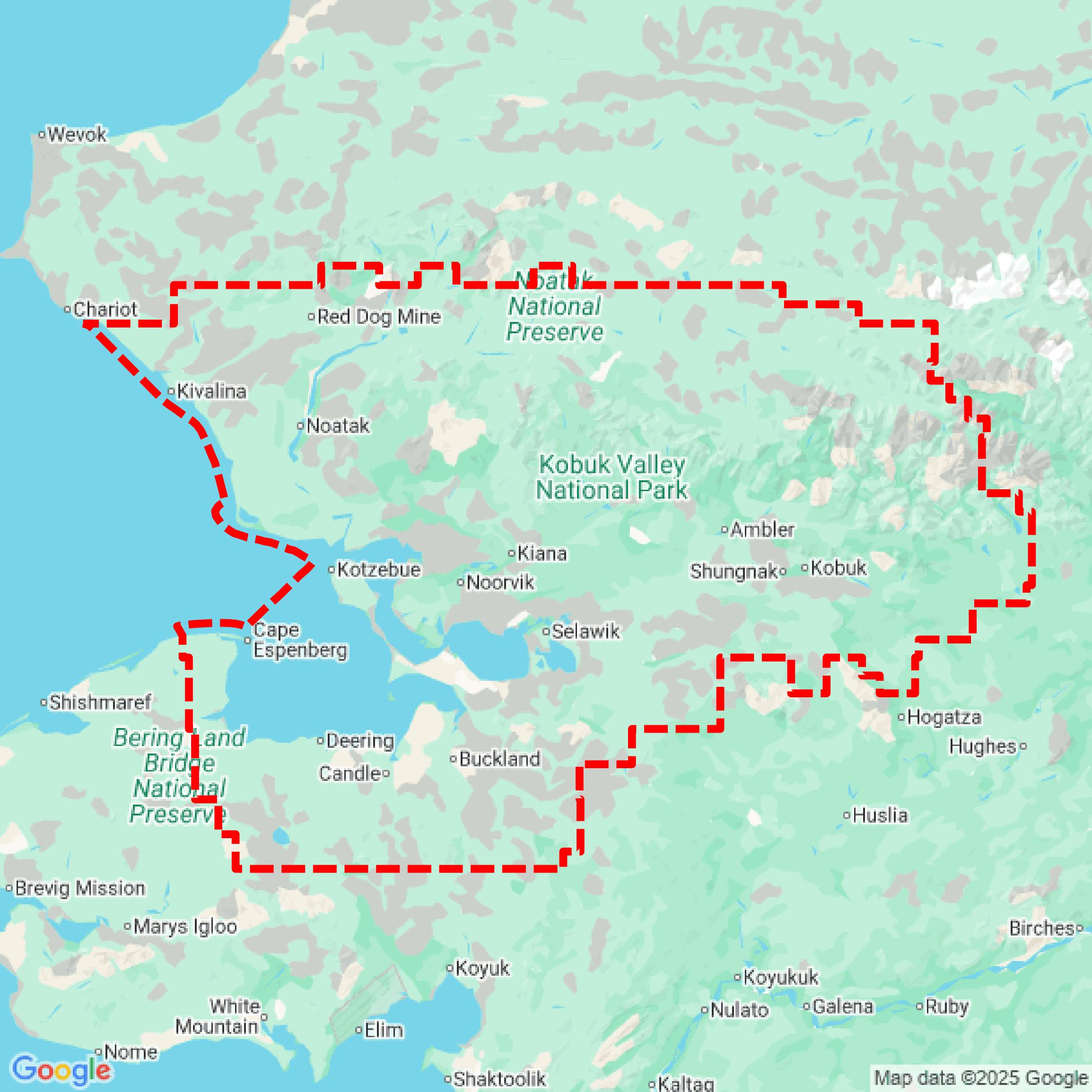

Data Available
Download GIS Data for Northwest Arctic Borough

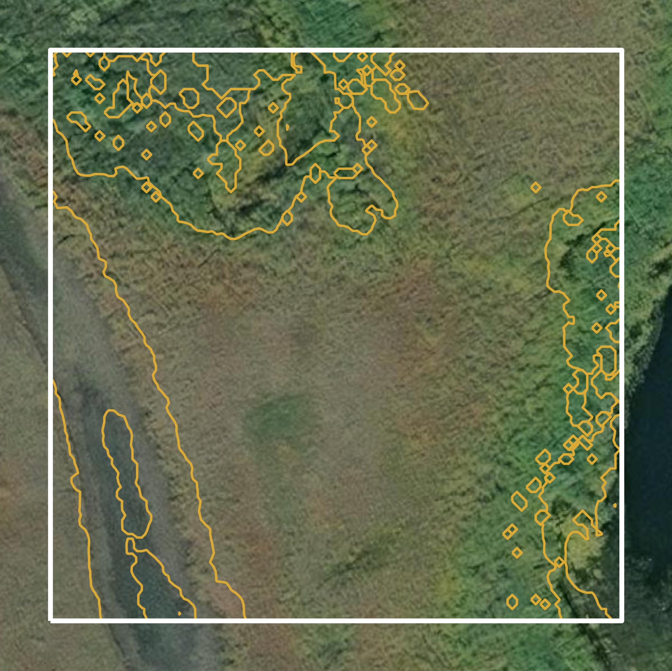
Parcels and Buildings
This image shows parcel and building data in Northwest Arctic Borough created using GIS data in Equator.
LiDAR
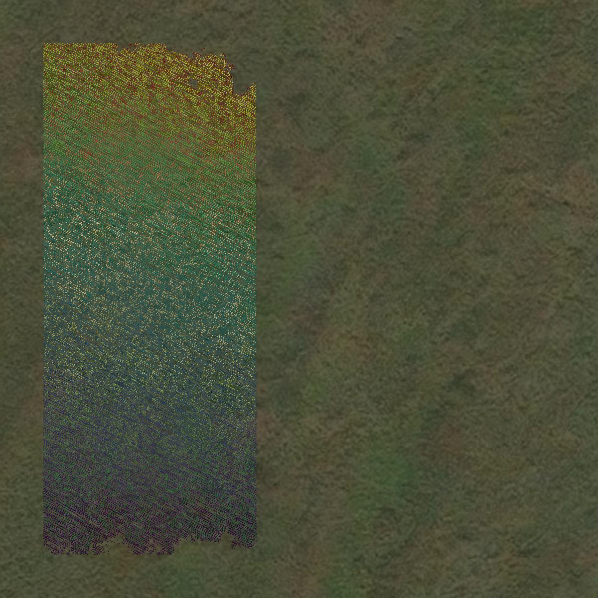
This image shows a LiDAR point cloud in Northwest Arctic Borough created using GIS data in Equator.
Contours
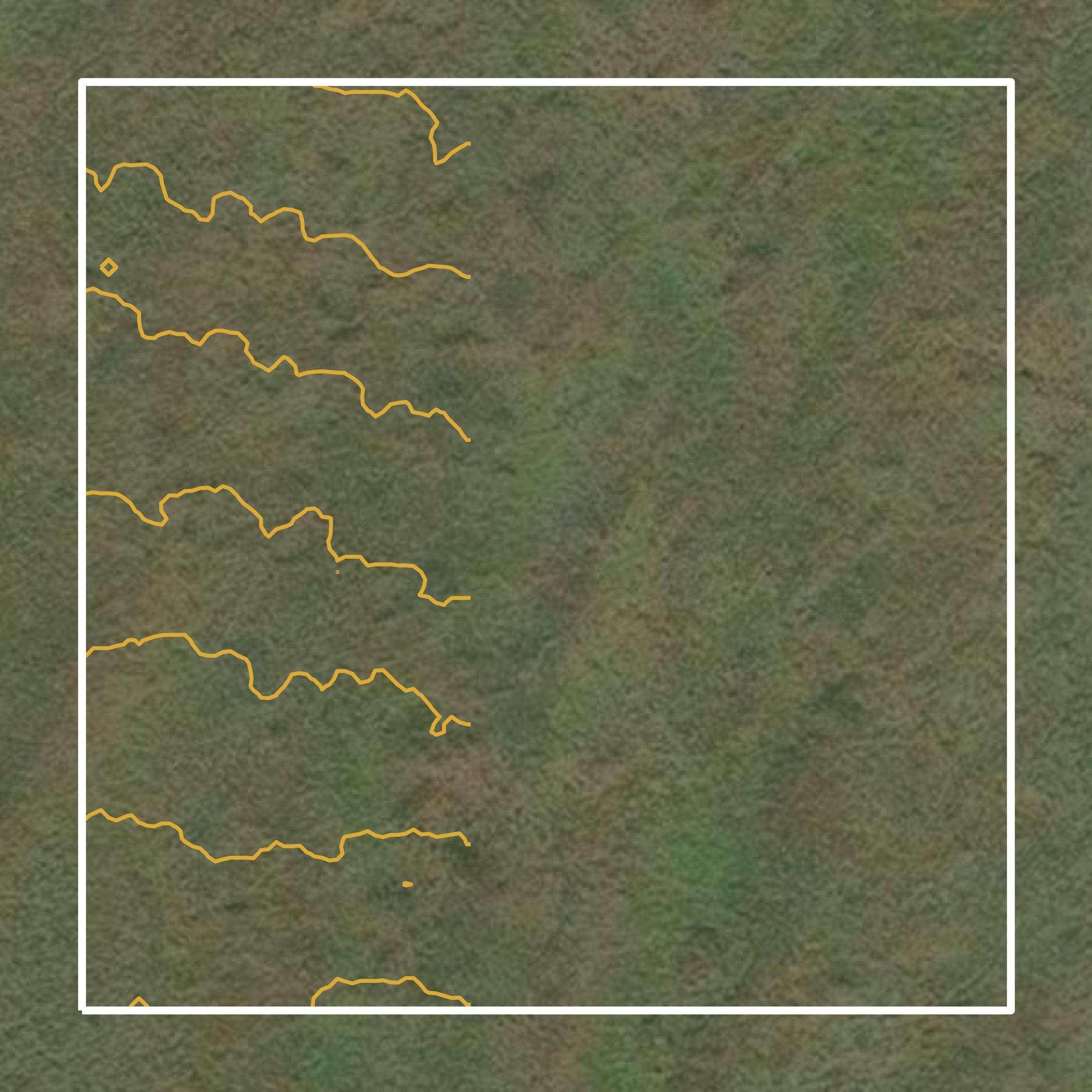
This image shows a contour map in Northwest Arctic Borough created using GIS data in Equator.
Formats Available
Export Your Data Ready to Use in Multiple Formats
DWG
AutoCAD Drawing - Industry-standard CAD format
Supported Data:
Contour, Parcel, Building Outline
SHP
Shapefile - Standard GIS vector format
Supported Data:
Contour, Parcel, Building Outline
DXF
Drawing Exchange Format - Universal CAD interchange
Supported Data:
Contour, Building Outline
GeoJSON
Geographic JSON - Web-friendly spatial data format
Supported Data:
Contour, Parcel, Building Outline
LAZ
Compressed LAS - Efficient LiDAR point cloud format
Supported Data:
Point Cloud
SVG
Scalable Vector Graphics - Web vector format
Supported Data:
Contour, Building Outline
GPKG
GeoPackage - Modern OGC spatial database format
Supported Data:
Contour, Parcel, Building Outline
LandXML (Coming Soon)
Land XML - Civil engineering data exchange format
Supported Data:
Point Cloud
TIN (Coming Soon)
Triangulated Irregular Network - 3D surface model
Supported Data:
Point Cloud
XYZ (Coming Soon)
XYZ Point Cloud - Simple ASCII point cloud format
Supported Data:
Point Cloud
Background
GIS Data for Northwest Arctic Borough
The Subsistence Mapping Program webpage for Northwest Arctic Borough, Alaska, provides access to GIS datasets and maps that illustrate traditional subsistence activities and important ecological areas relevant to local communities. The project integrates local traditional knowledge with scientific information to document where residents hunt, fish, and gather resources, as well as the seasonal patterns of wildlife. Key content includes heat maps that represent subsistence use intensity, as well as detailed maps that support land use planning and inform federal policies, particularly regarding resource development and environmental protection. This initiative aims to preserve cultural practices while ensuring sustainable management of natural resources.
Access Northwest Arctic Borough GIS Data in Equator →Northwest Arctic Borough Portal →Showcase
Sample GIS Data for Northwest Arctic Borough

Parcels and Buildings
Parcel and building data in Northwest Arctic Borough are used in a variety of fields including architecture, real estate, and urban planning.
LiDAR
Point clouds (LiDAR) in Northwest Arctic Borough can produce highly accurate 3D models of terrain, structures, and vegetation.
Contours
Contours in Northwest Arctic Borough visualize 3D elevations on a 2D surface allowing you to better understand your site.