Overview
Mono County GIS Data – For CAD
Equator helps civil engineering, architecture and consulting firms with the tools to instantly find, process and download accurate LiDAR, contours, parcel data, building footprints, DEMs, point clouds and other GIS data for Mono County in an online web mapping portal.
Mono County GIS Data →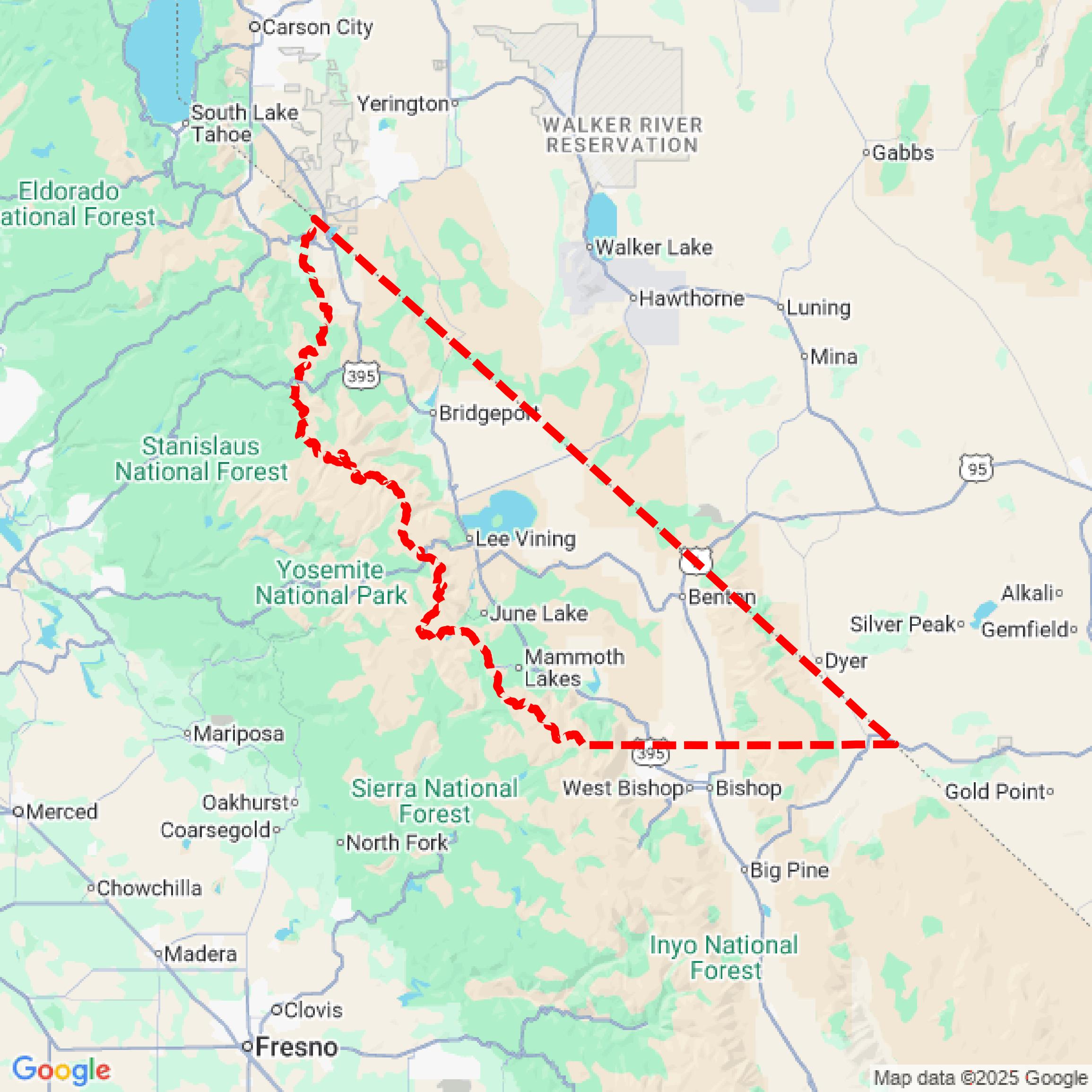

Data Available
Download GIS Data for Mono County
Parcels and Buildings
This image shows parcel and building data in Mono County created using GIS data in Equator.
Get Parcels and Buildings for Mono CountyLiDAR
This image shows a LiDAR point cloud in Mono County created using GIS data in Equator.
Get LiDAR for Mono CountyContours
This image shows a contour map in Mono County created using GIS data in Equator.
Get Contours for Mono CountyFormats Available
Export Your Data Ready to Use in Multiple Formats
DWG
AutoCAD Drawing - Industry-standard CAD format
Supported Data:
Contour, Parcel, Building Outline
SHP
Shapefile - Standard GIS vector format
Supported Data:
Contour, Parcel, Building Outline
DXF
Drawing Exchange Format - Universal CAD interchange
Supported Data:
Contour, Building Outline
GeoJSON
Geographic JSON - Web-friendly spatial data format
Supported Data:
Contour, Parcel, Building Outline
LAZ
Compressed LAS - Efficient LiDAR point cloud format
Supported Data:
Point Cloud
SVG
Scalable Vector Graphics - Web vector format
Supported Data:
Contour, Building Outline
GPKG (Coming Soon)
GeoPackage - Modern OGC spatial database format
Supported Data:
Contour, Parcel, Building Outline
LandXML (Coming Soon)
Land XML - Civil engineering data exchange format
Supported Data:
Point Cloud
TIN (Coming Soon)
Triangulated Irregular Network - 3D surface model
Supported Data:
Point Cloud
XYZ (Coming Soon)
XYZ Point Cloud - Simple ASCII point cloud format
Supported Data:
Point Cloud
Background
GIS Data for Mono County
The Mono County GIS Data Portal provides access to a comprehensive array of Geographic Information System (GIS) resources, including maps, applications, and datasets. Key offerings include parcel data maintained by the county assessor's office, which can be explored through the Parcel Viewer app, allowing users to identify parcels by assessment number or address. The portal also features an Access and Functional Needs Tool designed to assist emergency response agencies by collecting information from residents with specific needs. Additionally, an archive of historical maps and data is available, encompassing record maps, parcel map books, and historic survey maps.
Access Mono County GIS Data in Equator →Mono County Portal →Showcase
Sample GIS Data for Mono County
Parcels and Buildings
Parcel and building data in Mono County are used in a variety of fields including architecture, real estate, and urban planning.
Get Parcels and Buildings for Mono CountyLiDAR
Point clouds (LiDAR) in Mono County can produce highly accurate 3D models of terrain, structures, and vegetation.
Get LiDAR for Mono CountyContours
Contours in Mono County visualize 3D elevations on a 2D surface allowing you to better understand your site.
Get Contours for Mono County