Overview
Wayne County GIS Data – For CAD
Equator helps civil engineering, architecture and consulting firms with the tools to instantly find, process and download accurate LiDAR, contours, parcel data, building footprints, DEMs, point clouds and other GIS data for Wayne County in an online web mapping portal.
Wayne County GIS Data →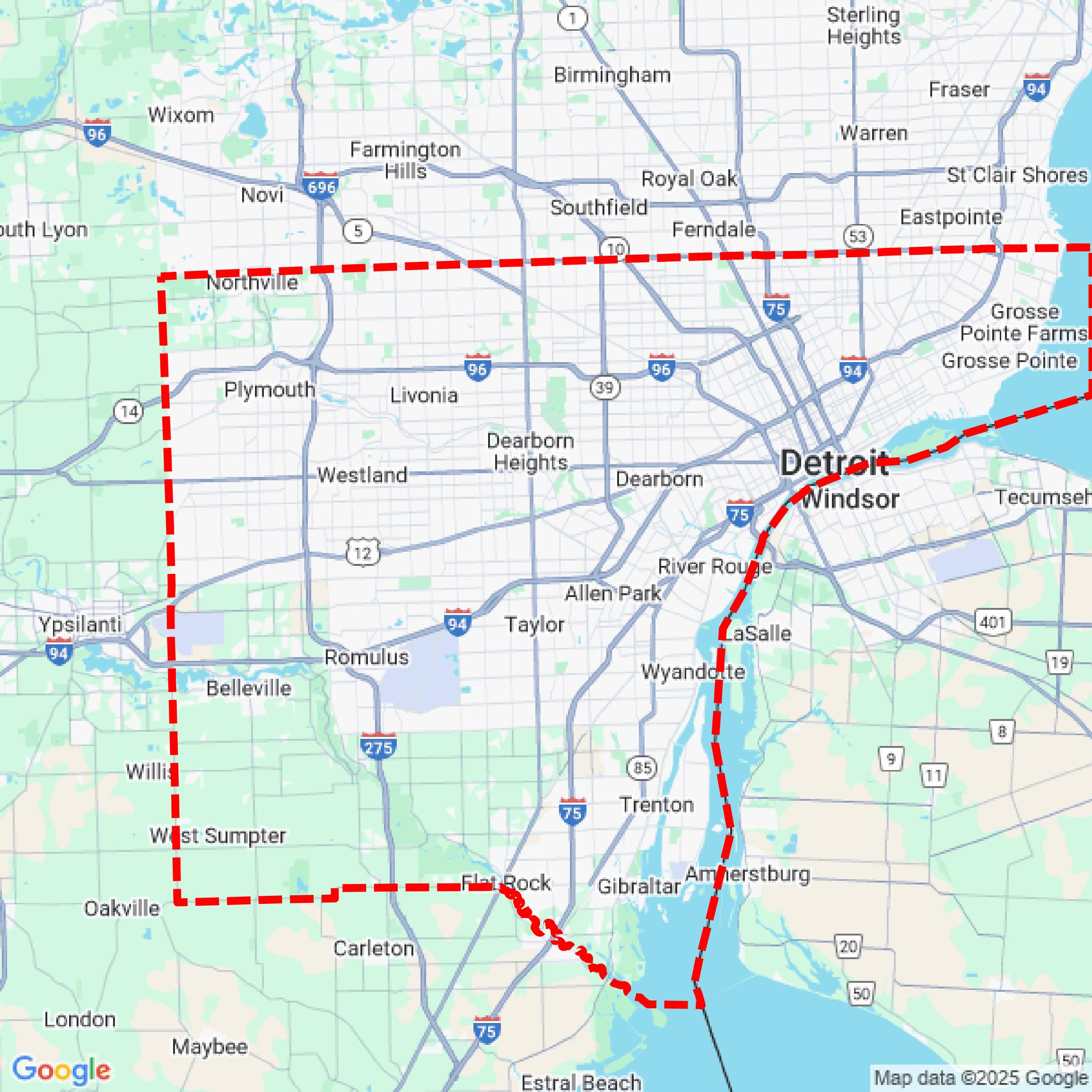

Data Available
Download GIS Data for Wayne County
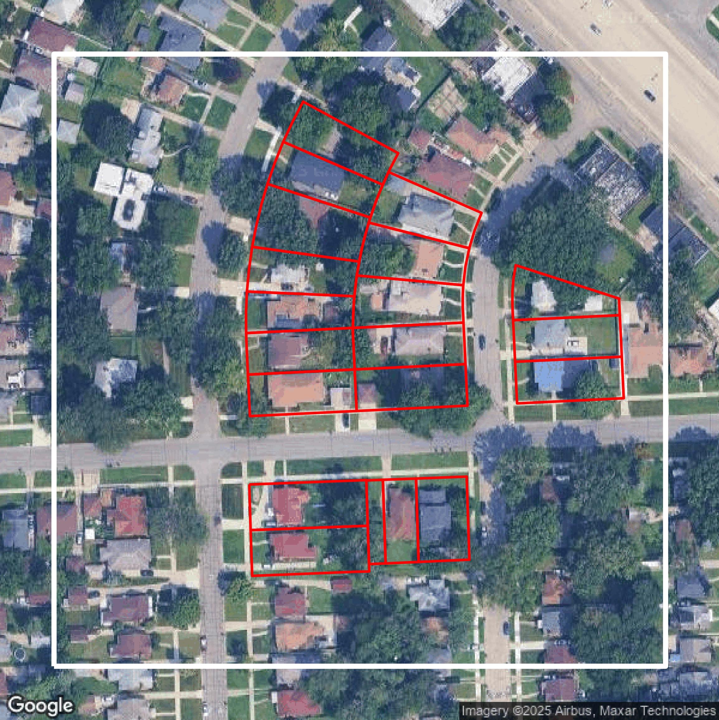
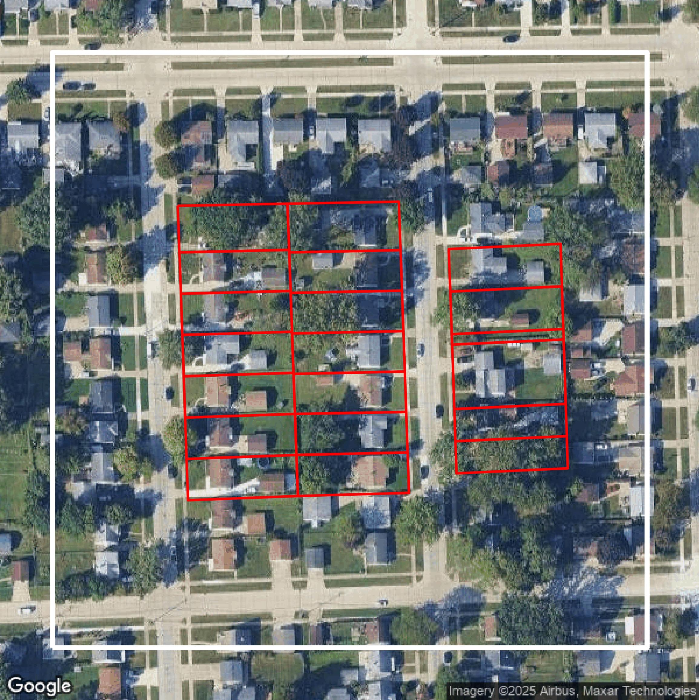
Parcels and Buildings
This image shows parcel and building data in Wayne County created using GIS data in Equator.
Get Parcels and Buildings for Wayne County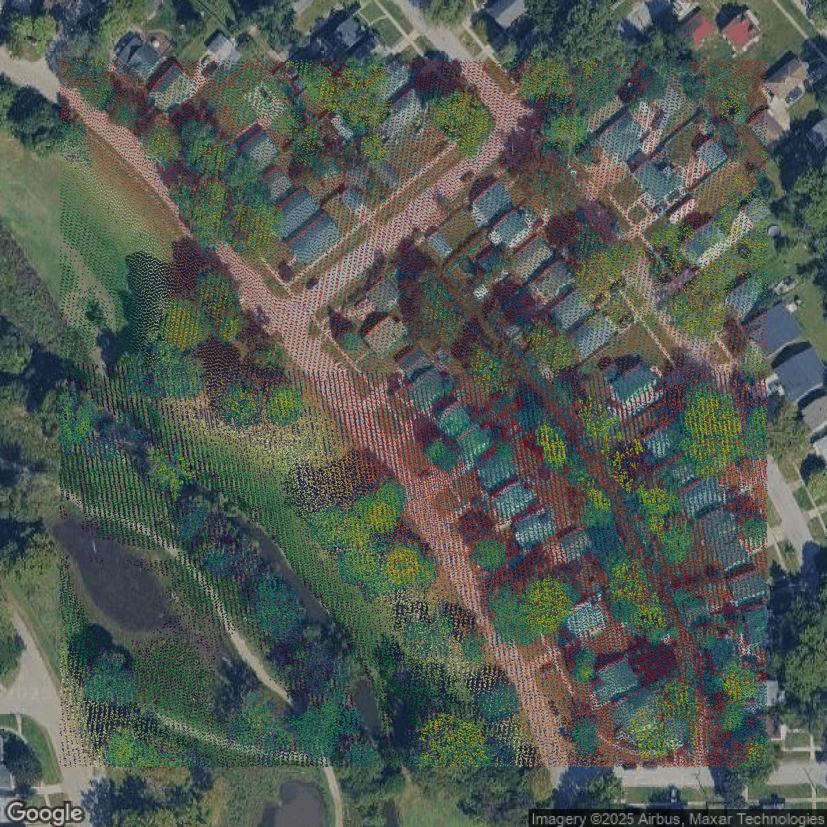
LiDAR
This image shows a LiDAR point cloud in Wayne County created using GIS data in Equator.
Get LiDAR for Wayne County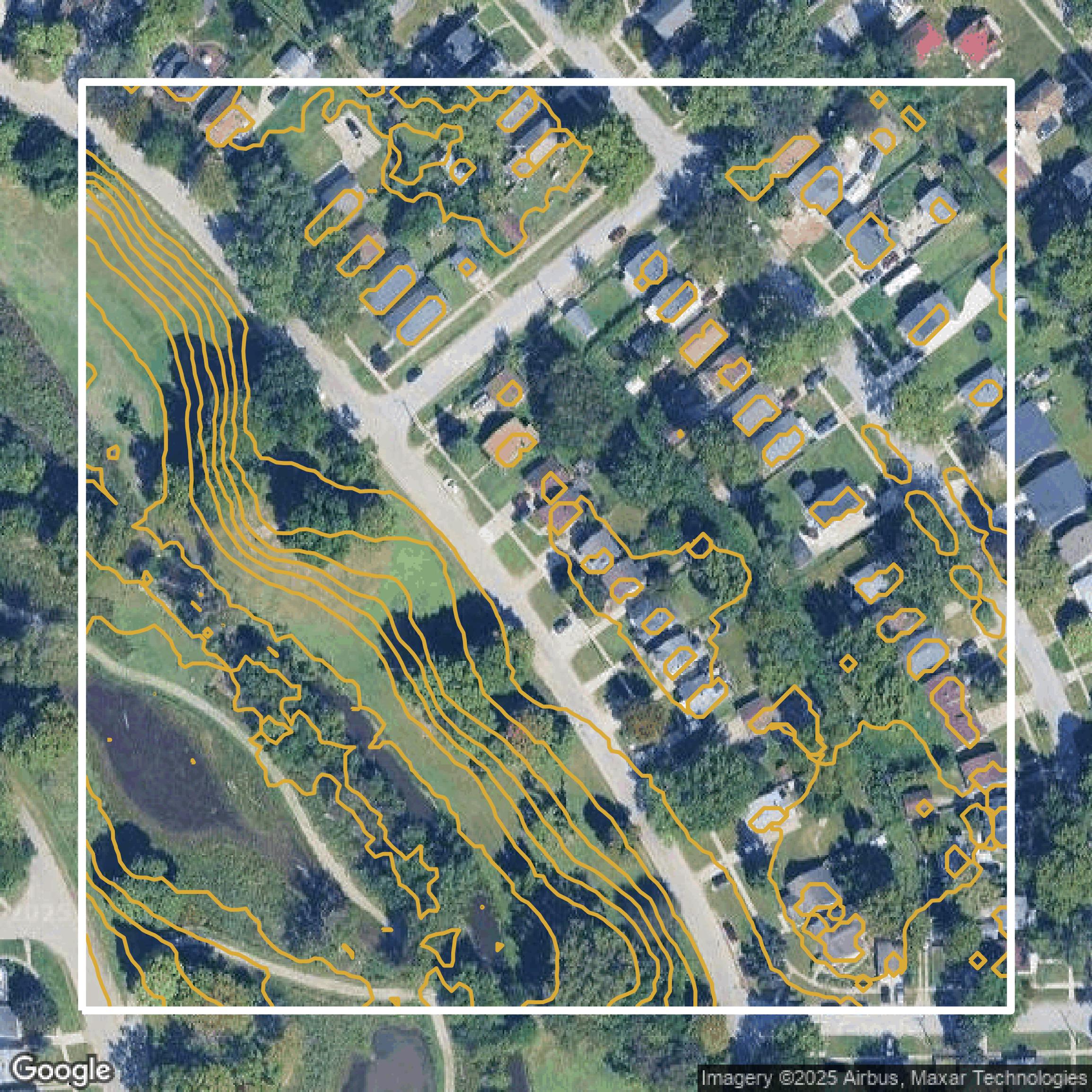
Contours
This image shows a contour map in Wayne County created using GIS data in Equator.
Get Contours for Wayne CountyFormats Available
Export Your Data Ready to Use in Multiple Formats
DWG
AutoCAD Drawing - Industry-standard CAD format
Supported Data:
Contour, Parcel, Building Outline
SHP
Shapefile - Standard GIS vector format
Supported Data:
Contour, Parcel, Building Outline
DXF
Drawing Exchange Format - Universal CAD interchange
Supported Data:
Contour, Building Outline
GeoJSON
Geographic JSON - Web-friendly spatial data format
Supported Data:
Contour, Parcel, Building Outline
LAZ
Compressed LAS - Efficient LiDAR point cloud format
Supported Data:
Point Cloud
SVG
Scalable Vector Graphics - Web vector format
Supported Data:
Contour, Building Outline
GPKG (Coming Soon)
GeoPackage - Modern OGC spatial database format
Supported Data:
Contour, Parcel, Building Outline
LandXML (Coming Soon)
Land XML - Civil engineering data exchange format
Supported Data:
Point Cloud
TIN (Coming Soon)
Triangulated Irregular Network - 3D surface model
Supported Data:
Point Cloud
XYZ (Coming Soon)
XYZ Point Cloud - Simple ASCII point cloud format
Supported Data:
Point Cloud
Background
GIS Data for Wayne County
On the Wayne County GIS Data webpage, visitors can expect access to a comprehensive collection of GIS Data sets in Shapefile format available for download as zip files, including "Commission Districts," "Municipal Boundaries," "Parcels" (noted as reference data from 2015, provided without warranty), "Roads," "Wayne County Owned Parks," "State House Districts," "State Senate Districts," "U.S. Congressional Districts," "School Districts," and "Zip Codes." These data underpin both interactive and print maps used to communicate key geographic information such as parcel information, road features, and park boundaries. Additionally, the site directs users seeking detailed GIS parcel data for individual municipalities to the "Assessment & Equalization" page. Beyond downloadable datasets, the website also offers related GIS Resources including "Interactive Maps" and "Print Maps," enabling users to visually explore spatial data through web-based mapping tools and access printable map products. This makes the site a valuable portal for accessing authoritative geographic data and mapping tools for Wayne County’s government, planning, and public use.
Access Wayne County GIS Data in Equator →Wayne County Portal →Showcase
Sample GIS Data for Wayne County
Parcels and Buildings
Parcel and building data in Wayne County are used in a variety of fields including architecture, real estate, and urban planning.
Get Parcels and Buildings for Wayne County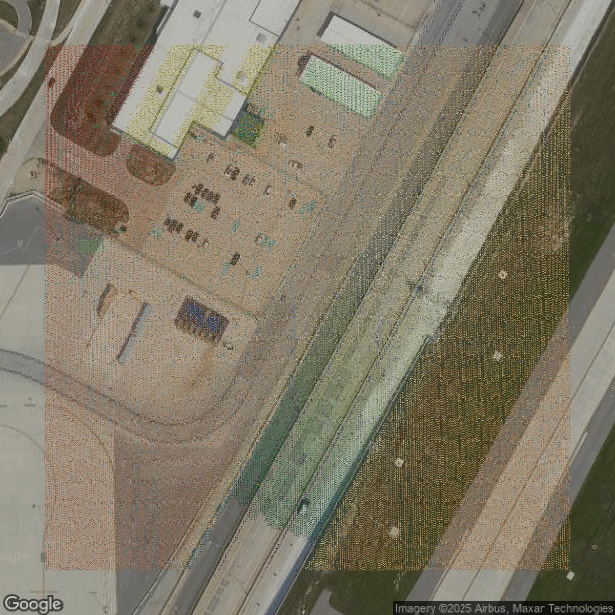
LiDAR
Point clouds (LiDAR) in Wayne County can produce highly accurate 3D models of terrain, structures, and vegetation.
Get LiDAR for Wayne County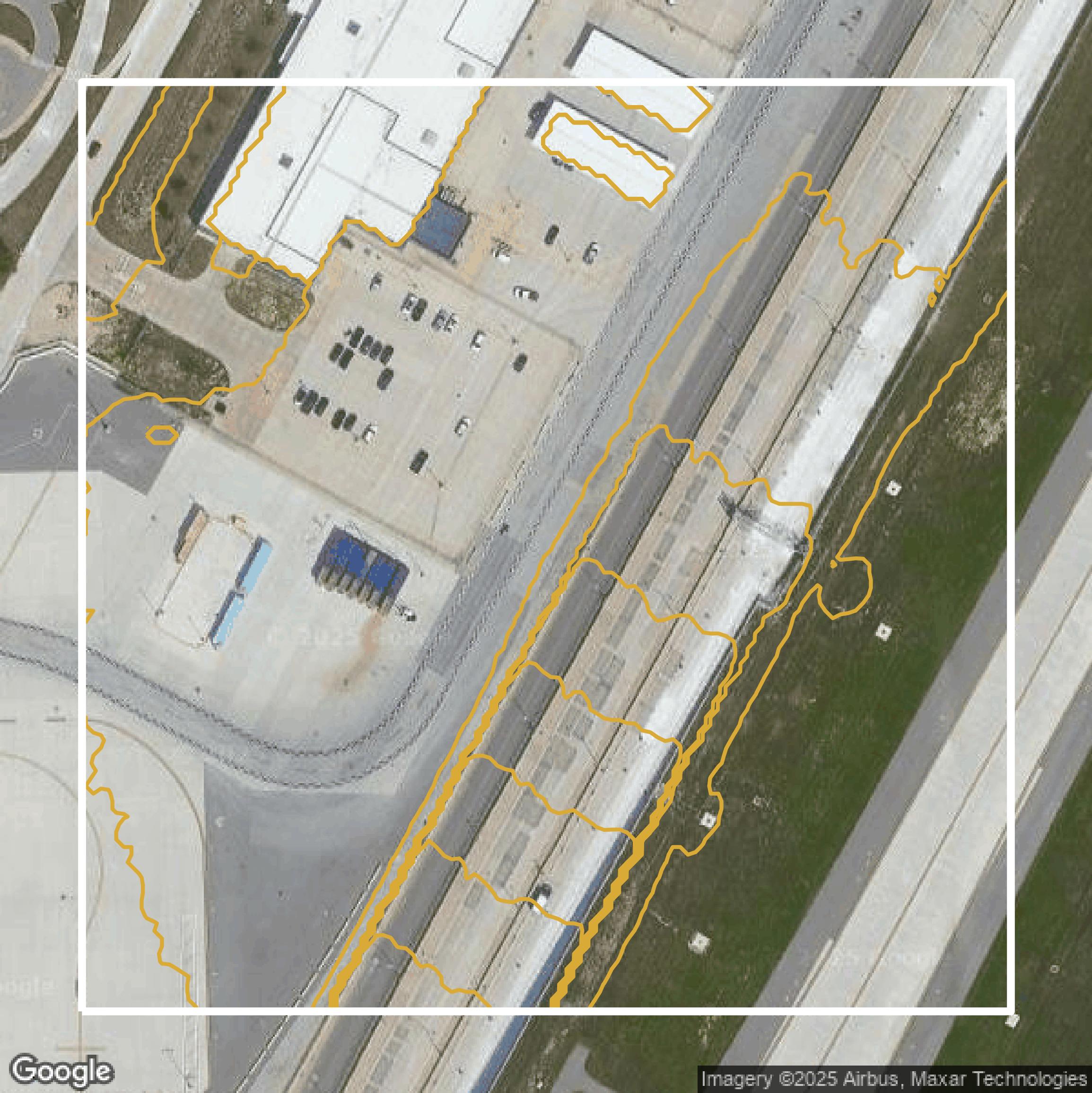
Contours
Contours in Wayne County visualize 3D elevations on a 2D surface allowing you to better understand your site.
Get Contours for Wayne County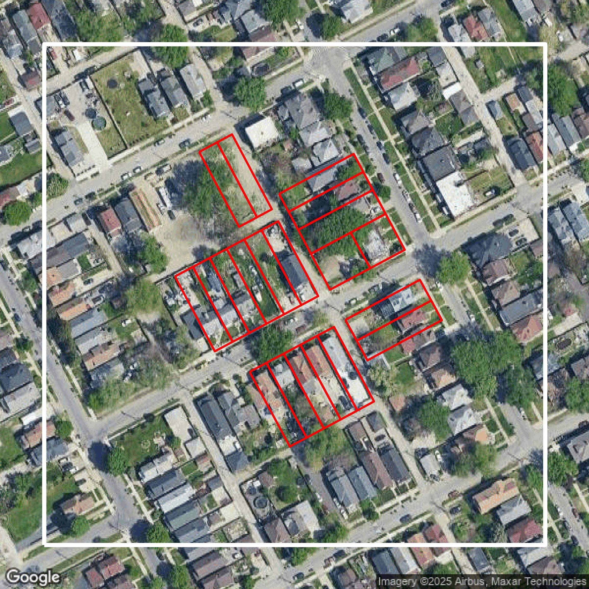
Parcels and Buildings
Accessing Wayne County parcel and building data on Equator gives you access to coverage across the US.
Get Parcels and Buildings for Wayne County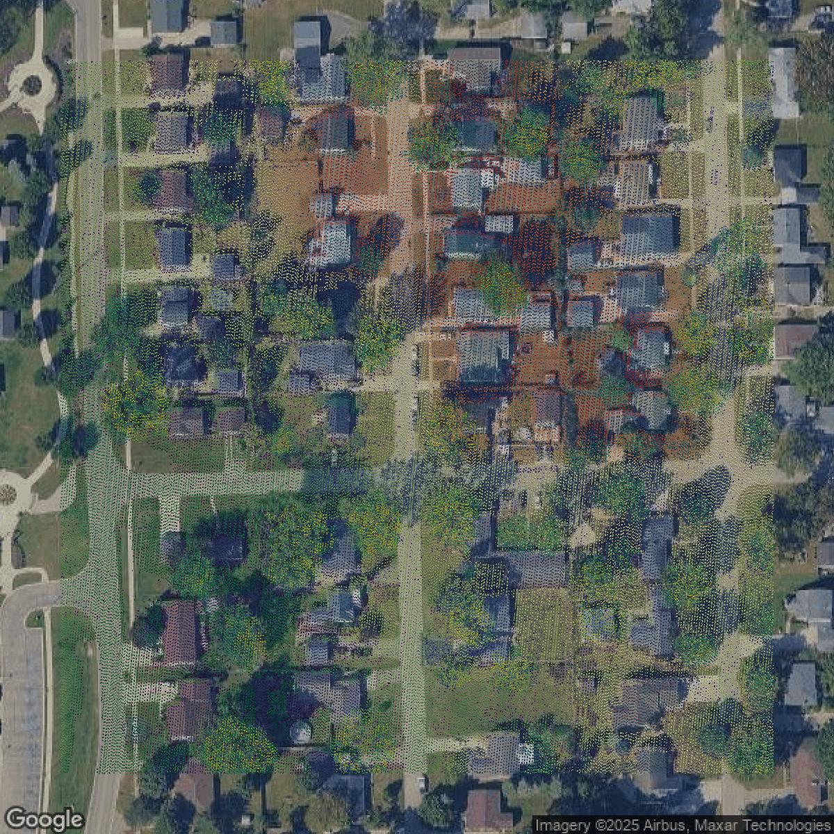
LiDAR
Wayne County LiDAR uses include land surveying, analyzing crop health, or even archaeological studies.
Get LiDAR for Wayne County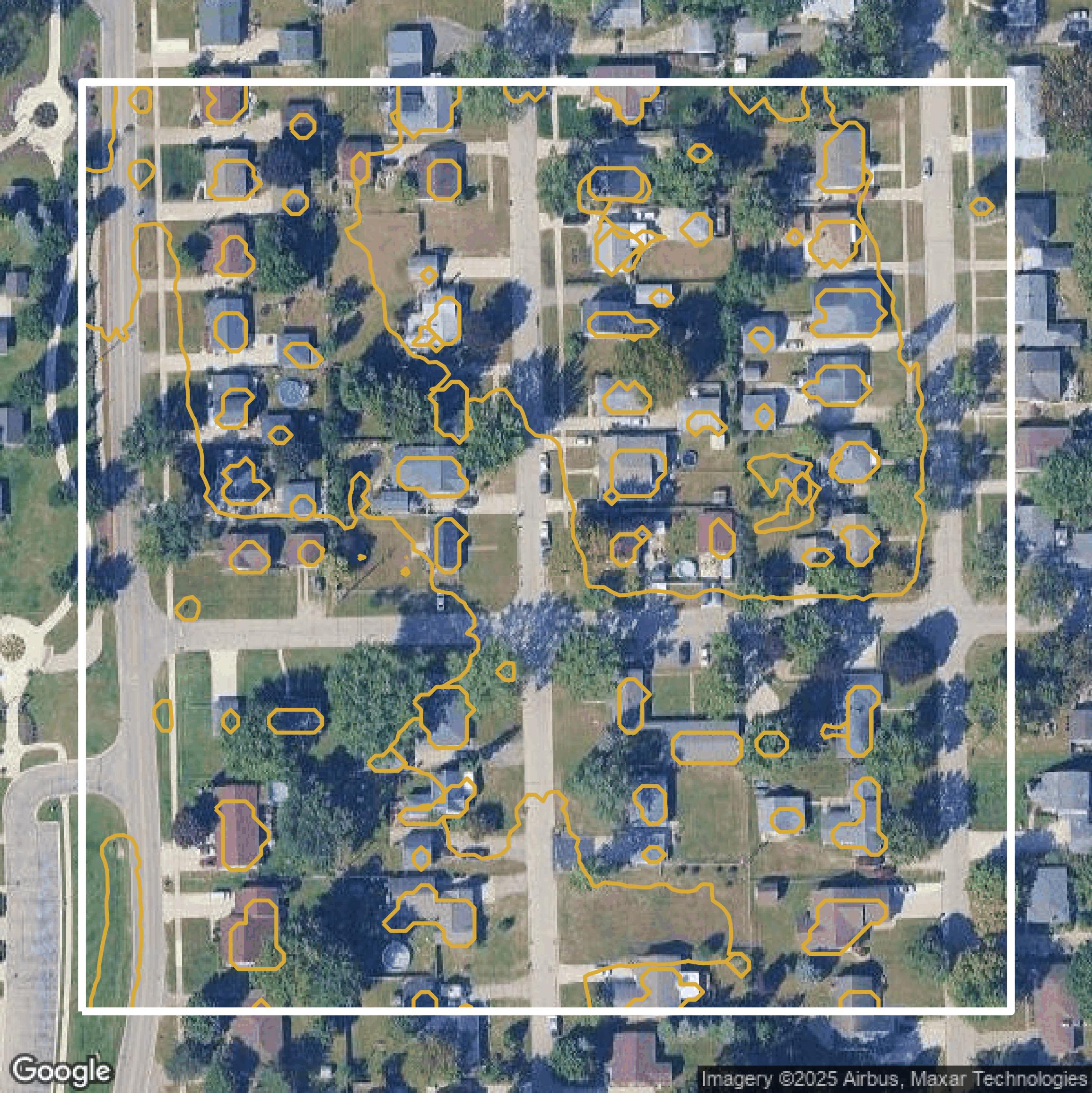
Contours
Wayne County contours can be used for construction & engineering, environmental science, and more.
Get Contours for Wayne County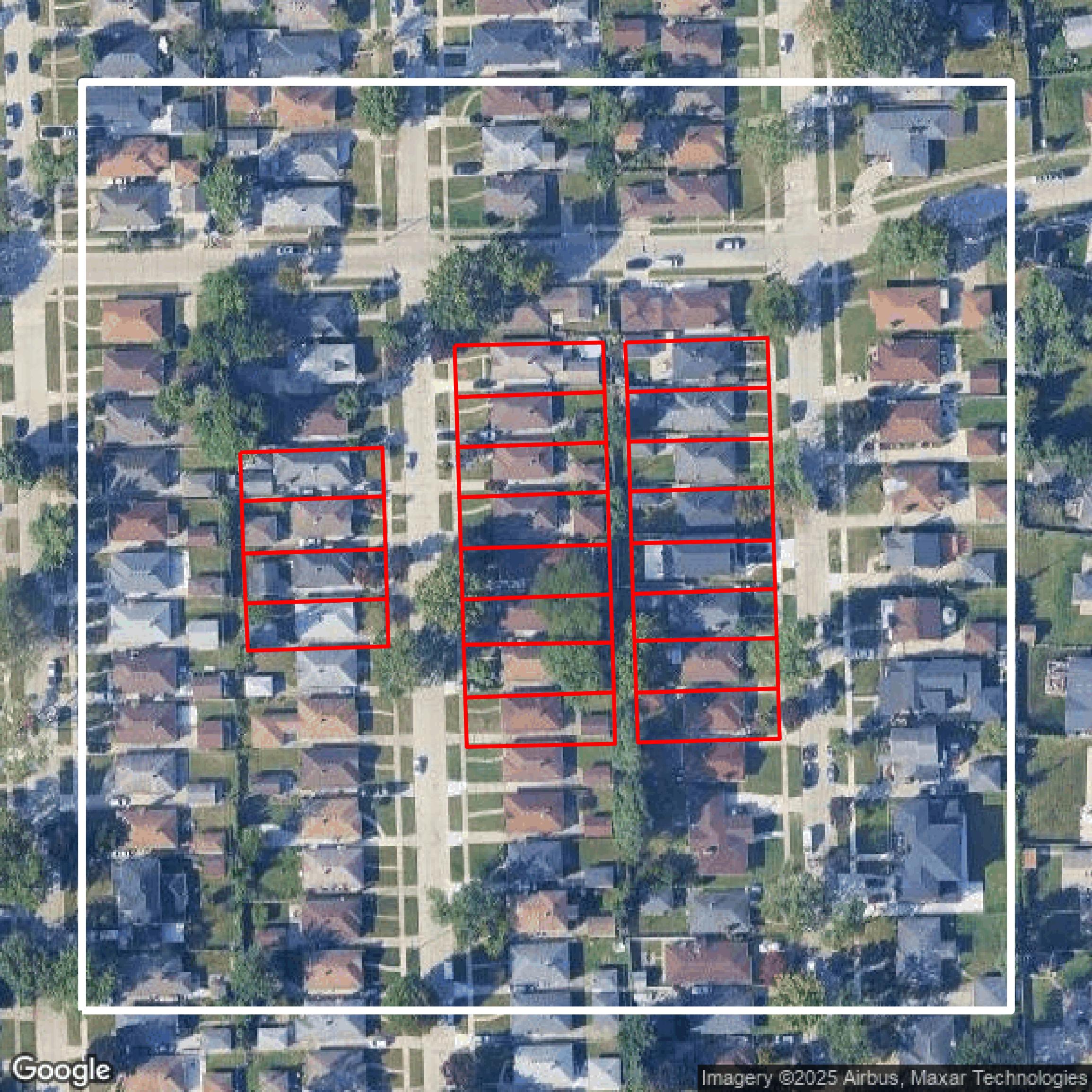
Parcels and Buildings
Dozens of fields are contained within each Wayne County parcel and building data, including zoning, owners, and year built.
Get Parcels and Buildings for Wayne County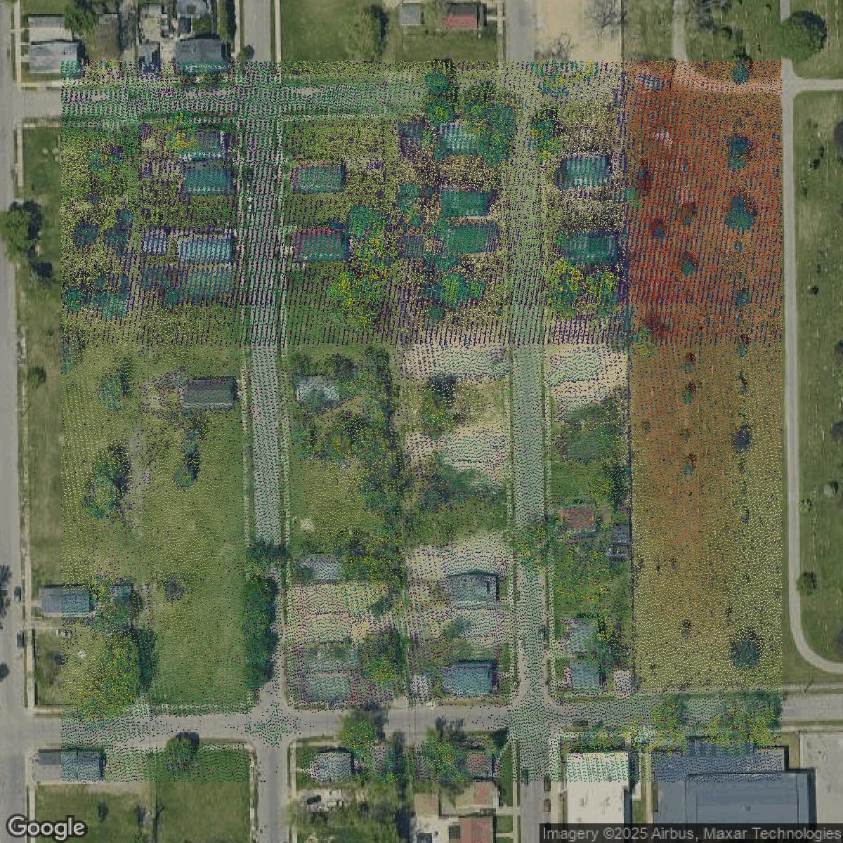
LiDAR
Equator turns Wayne County LiDAR point clouds into various lidar-derived data sets, including DEMs.
Get LiDAR for Wayne County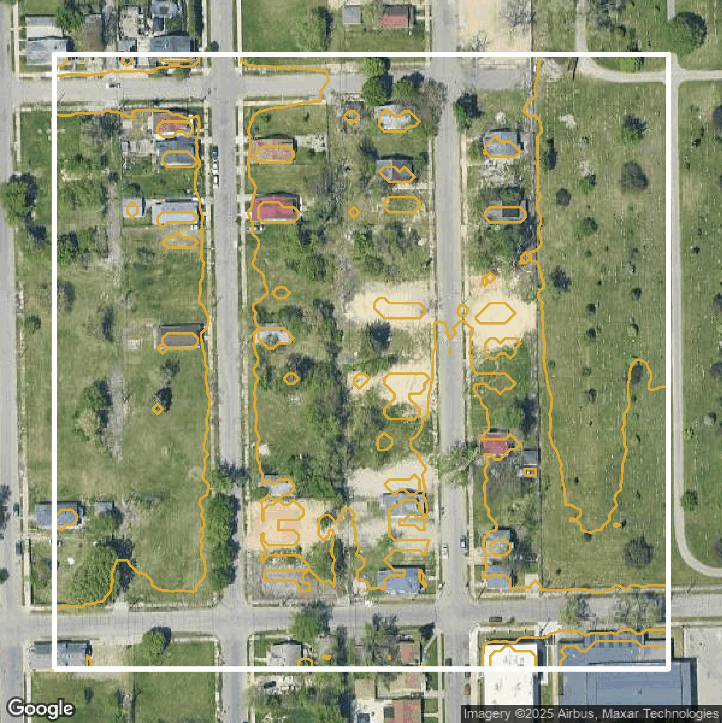
Contours
Wayne County contours on Equator are produced from LiDAR coverage, allowing for high precision
Get Contours for Wayne County