Overview
Macomb County GIS Data – For CAD
Equator helps civil engineering, architecture and consulting firms with the tools to instantly find, process and download accurate LiDAR, contours, parcel data, building footprints, DEMs, point clouds and other GIS data for Macomb County in an online web mapping portal.
Macomb County GIS Data →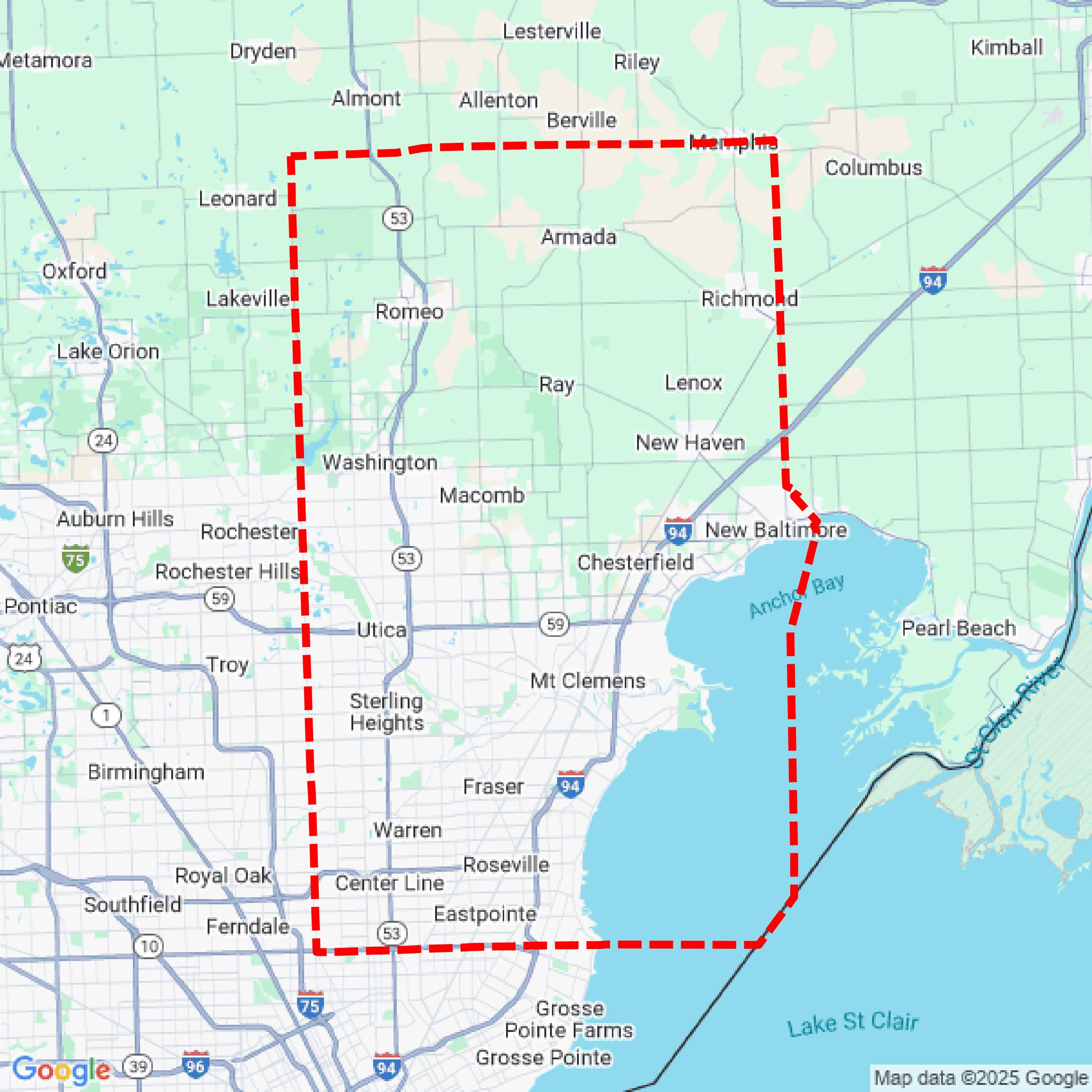

Data Available
Download GIS Data for Macomb County
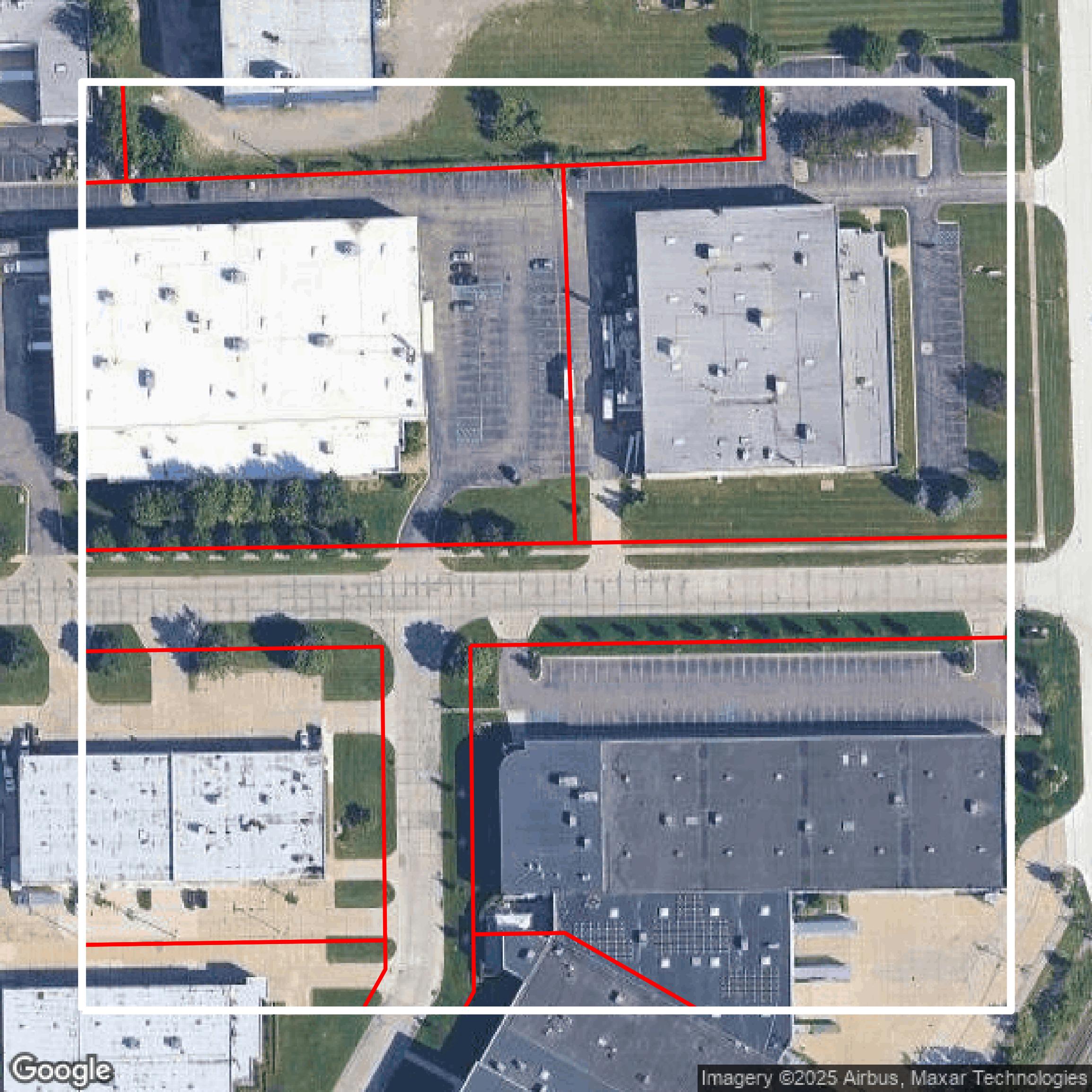
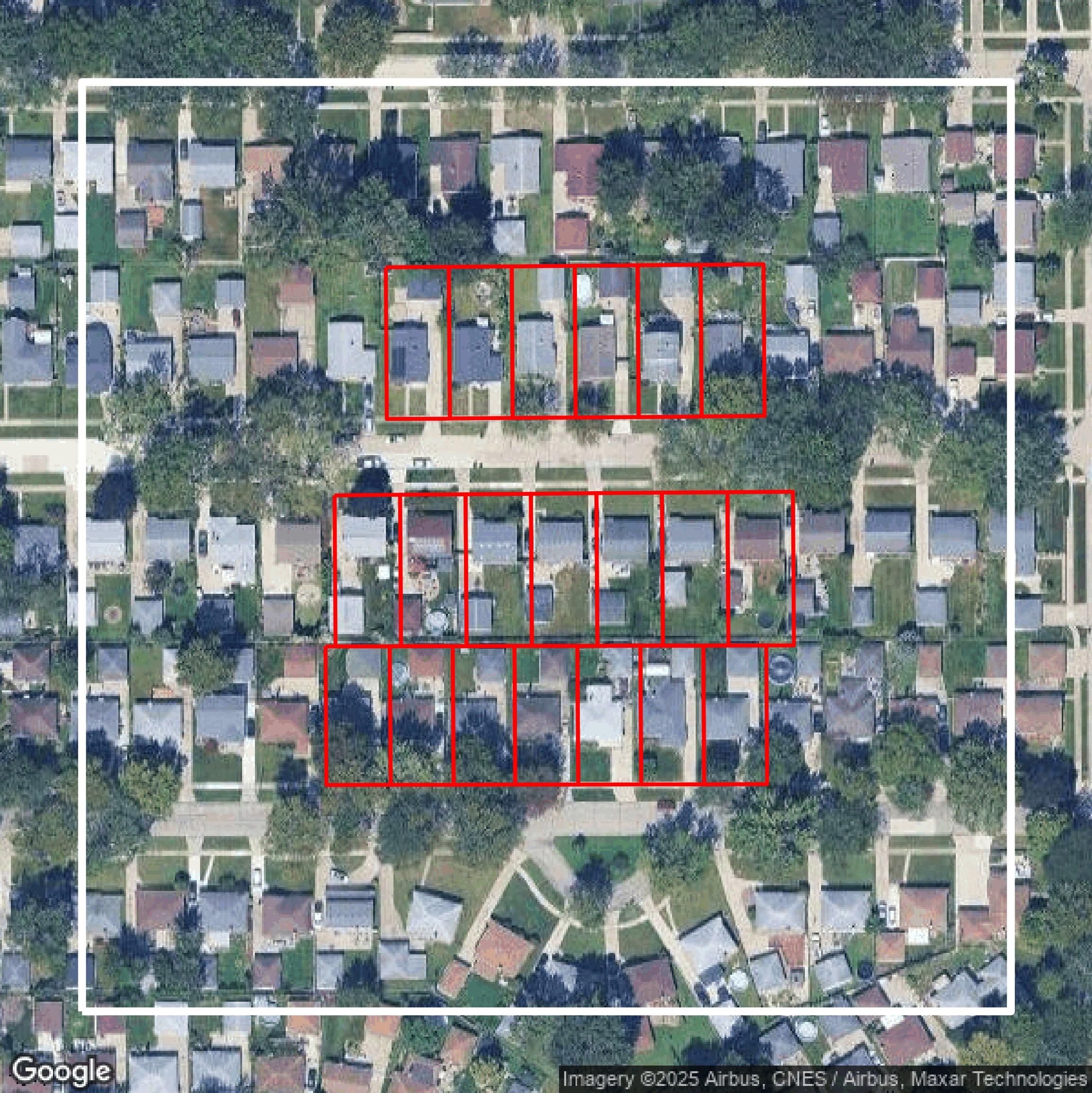
Parcels and Buildings
This image shows parcel and building data in Macomb County created using GIS data in Equator.
Get Parcels and Buildings for Macomb County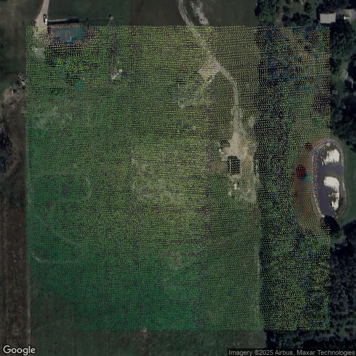
LiDAR
This image shows a LiDAR point cloud in Macomb County created using GIS data in Equator.
Get LiDAR for Macomb County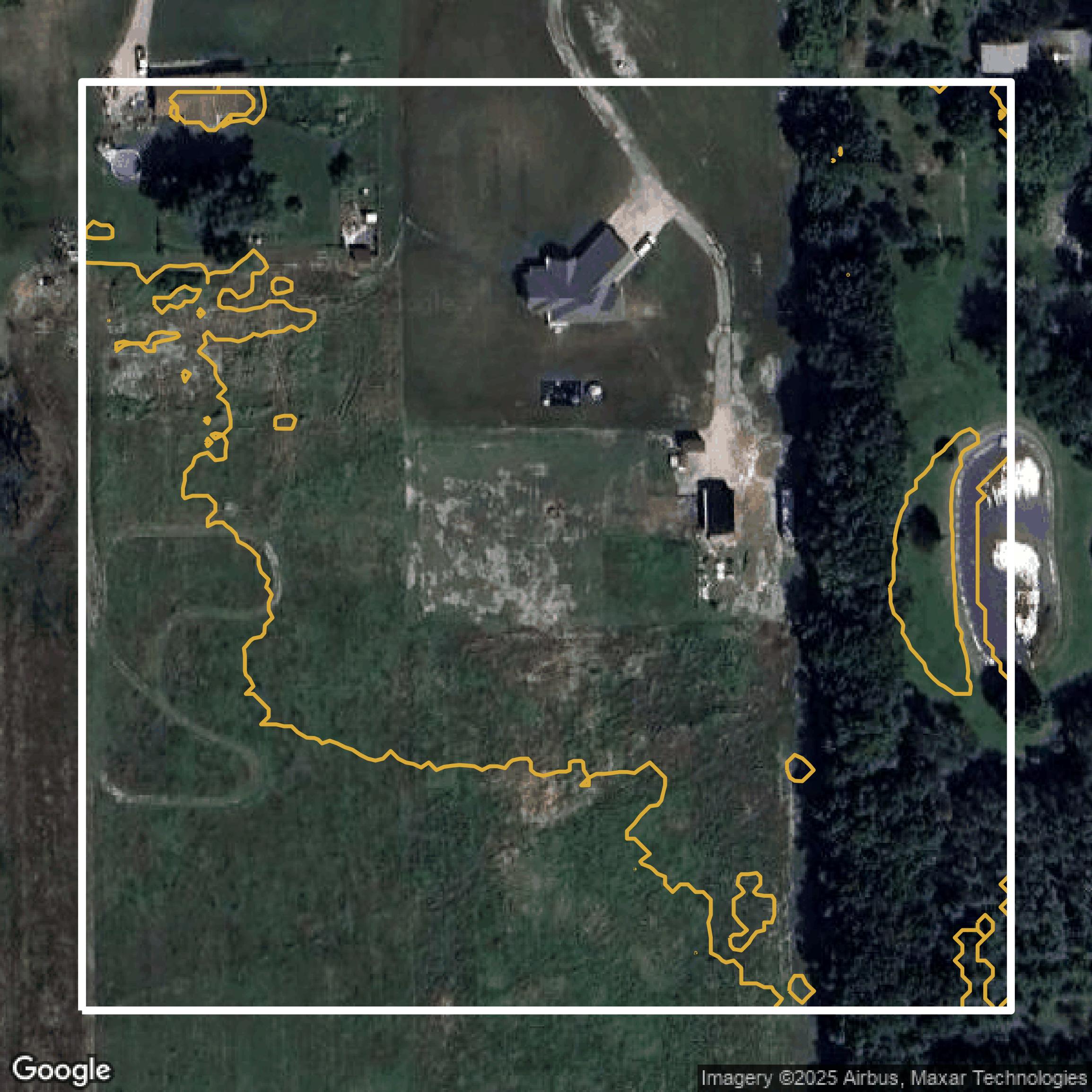
Contours
This image shows a contour map in Macomb County created using GIS data in Equator.
Get Contours for Macomb CountyFormats Available
Export Your Data Ready to Use in Multiple Formats
DWG
AutoCAD Drawing - Industry-standard CAD format
Supported Data:
Contour, Parcel, Building Outline
SHP
Shapefile - Standard GIS vector format
Supported Data:
Contour, Parcel, Building Outline
DXF
Drawing Exchange Format - Universal CAD interchange
Supported Data:
Contour, Building Outline
GeoJSON
Geographic JSON - Web-friendly spatial data format
Supported Data:
Contour, Parcel, Building Outline
LAZ
Compressed LAS - Efficient LiDAR point cloud format
Supported Data:
Point Cloud
SVG
Scalable Vector Graphics - Web vector format
Supported Data:
Contour, Building Outline
GPKG (Coming Soon)
GeoPackage - Modern OGC spatial database format
Supported Data:
Contour, Parcel, Building Outline
LandXML (Coming Soon)
Land XML - Civil engineering data exchange format
Supported Data:
Point Cloud
TIN (Coming Soon)
Triangulated Irregular Network - 3D surface model
Supported Data:
Point Cloud
XYZ (Coming Soon)
XYZ Point Cloud - Simple ASCII point cloud format
Supported Data:
Point Cloud
Background
GIS Data for Macomb County
The Mapping and Data Services webpage for Macomb County, Michigan, offers a variety of GIS datasets and mapping resources aimed at local governments, the public, and stakeholders. Key content includes parcel data, zoning information, and aerial imagery, all designed to support geospatial analysis and enhance decision-making processes. The site also provides access to tools such as the Parcel Explorer and an open data portal, facilitating the exploration and utilization of spatial data for economic development and community planning.
Access Macomb County GIS Data in Equator →Macomb County Portal →Showcase
Sample GIS Data for Macomb County
Parcels and Buildings
Parcel and building data in Macomb County are used in a variety of fields including architecture, real estate, and urban planning.
Get Parcels and Buildings for Macomb County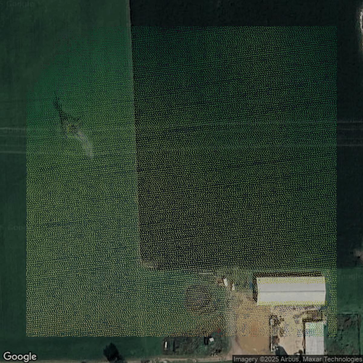
LiDAR
Point clouds (LiDAR) in Macomb County can produce highly accurate 3D models of terrain, structures, and vegetation.
Get LiDAR for Macomb County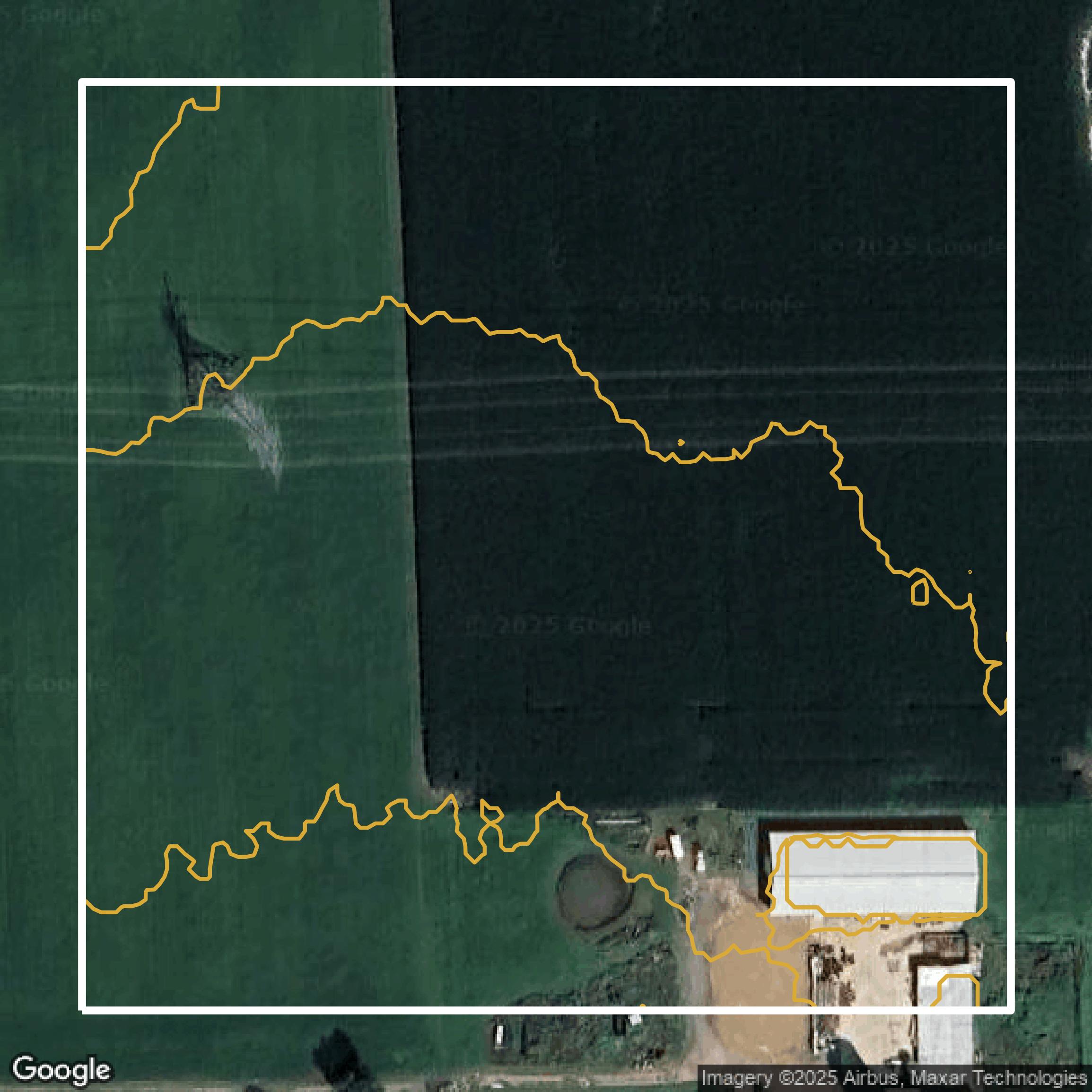
Contours
Contours in Macomb County visualize 3D elevations on a 2D surface allowing you to better understand your site.
Get Contours for Macomb County
Parcels and Buildings
Accessing Macomb County parcel and building data on Equator gives you access to coverage across the US.
Get Parcels and Buildings for Macomb County
LiDAR
Macomb County LiDAR uses include land surveying, analyzing crop health, or even archaeological studies.
Get LiDAR for Macomb County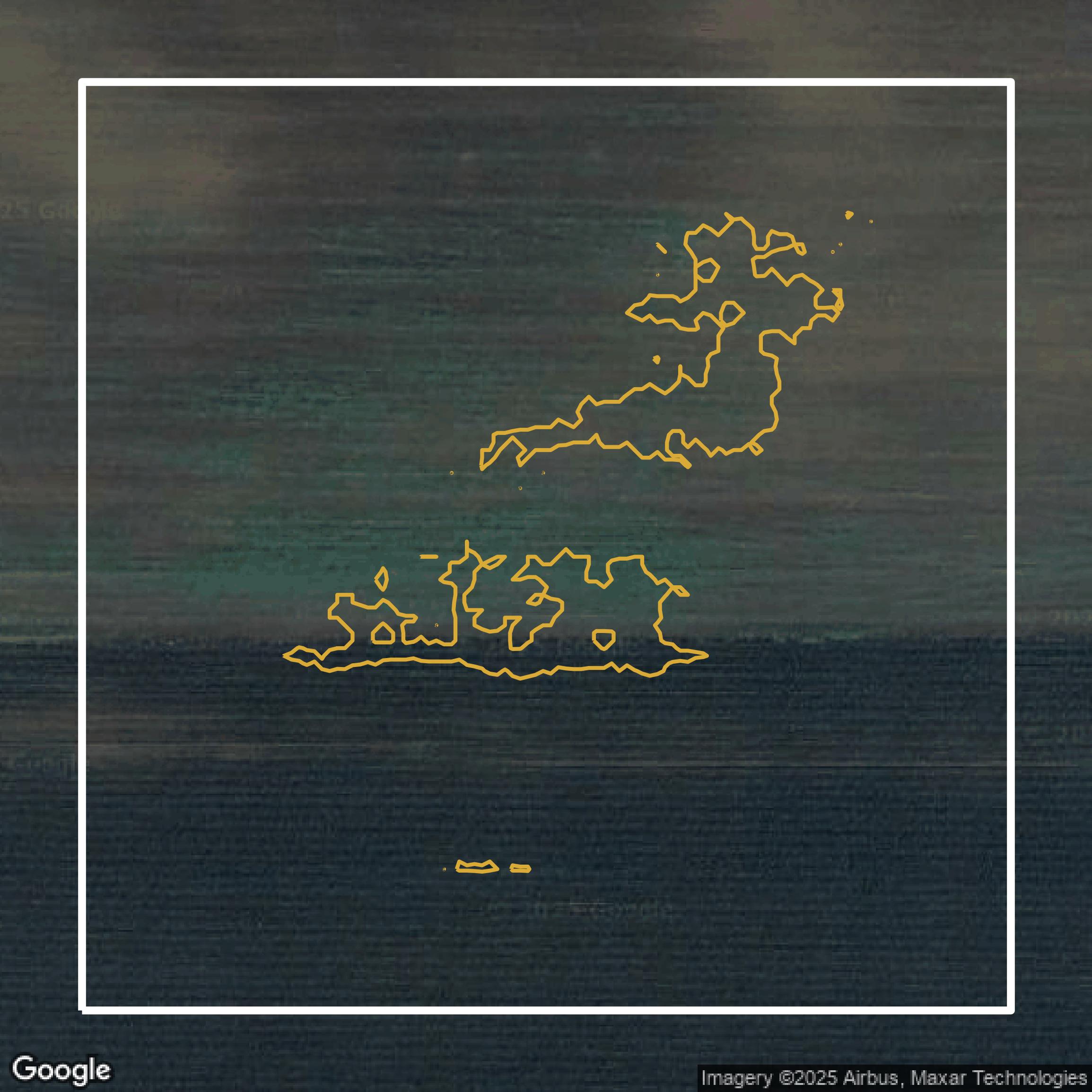
Contours
Macomb County contours can be used for construction & engineering, environmental science, and more.
Get Contours for Macomb County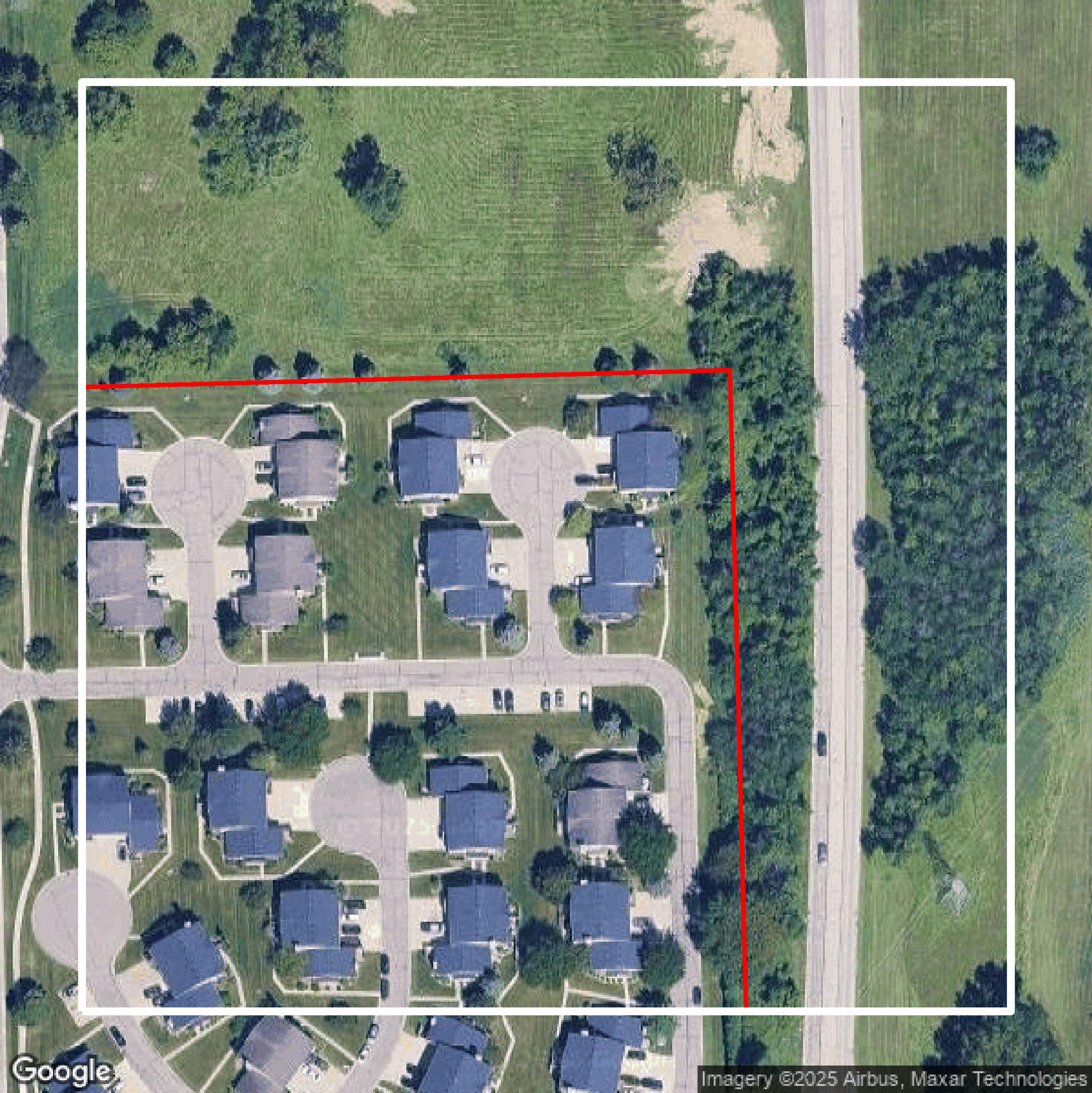
Parcels and Buildings
Dozens of fields are contained within each Macomb County parcel and building data, including zoning, owners, and year built.
Get Parcels and Buildings for Macomb County
LiDAR
Equator turns Macomb County LiDAR point clouds into various lidar-derived data sets, including DEMs.
Get LiDAR for Macomb County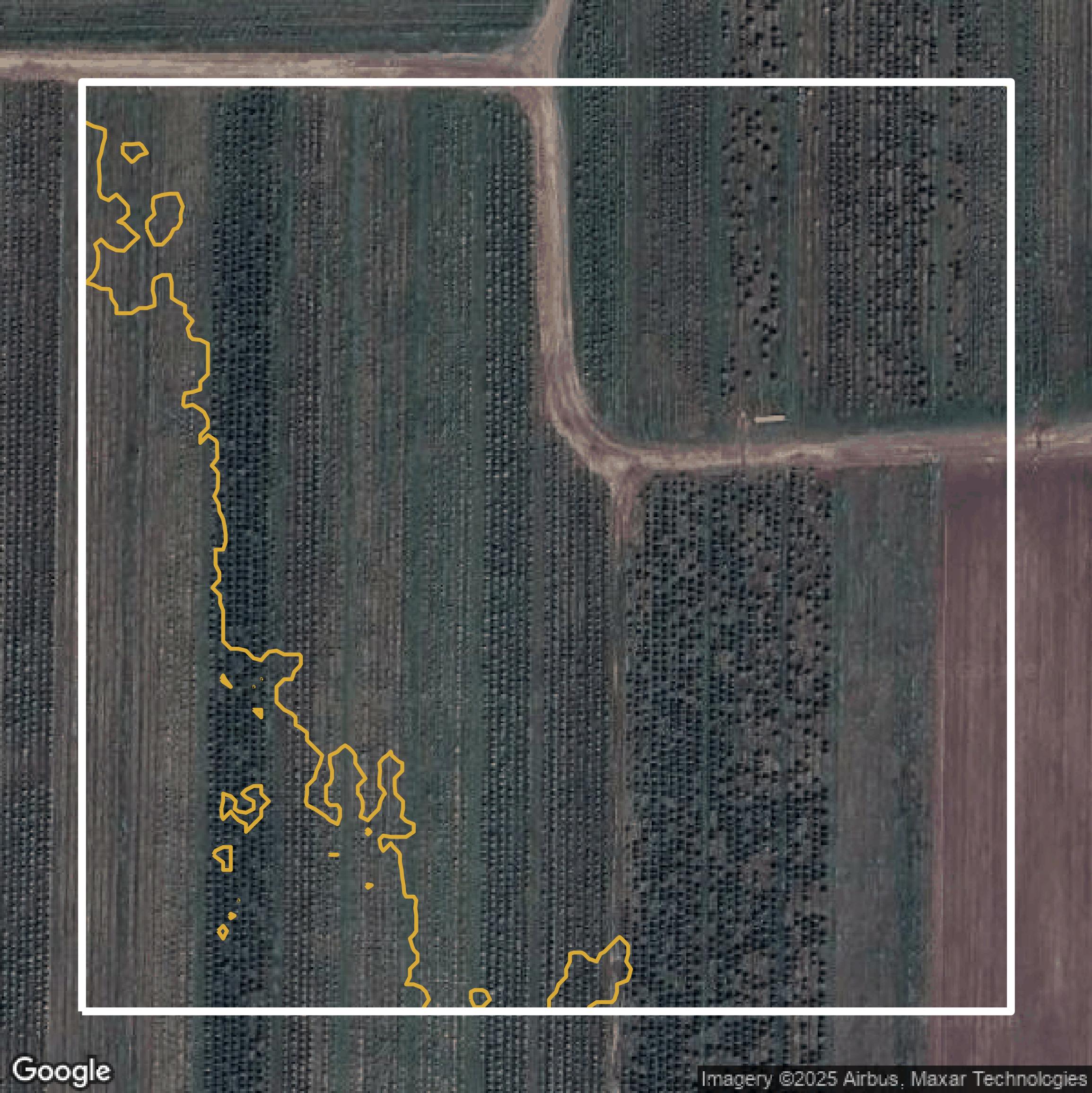
Contours
Macomb County contours on Equator are produced from LiDAR coverage, allowing for high precision
Get Contours for Macomb County