
Overview
Suffolk County GIS Data - For CAD
Equator helps civil engineering, architecture and consulting firms with the tools to instantly find, process and download accurate LiDAR, contours, parcel data, building footprints, DEMs, point clouds and other GIS data for Suffolk County in an online web mapping portal.
Suffolk County GIS Data ->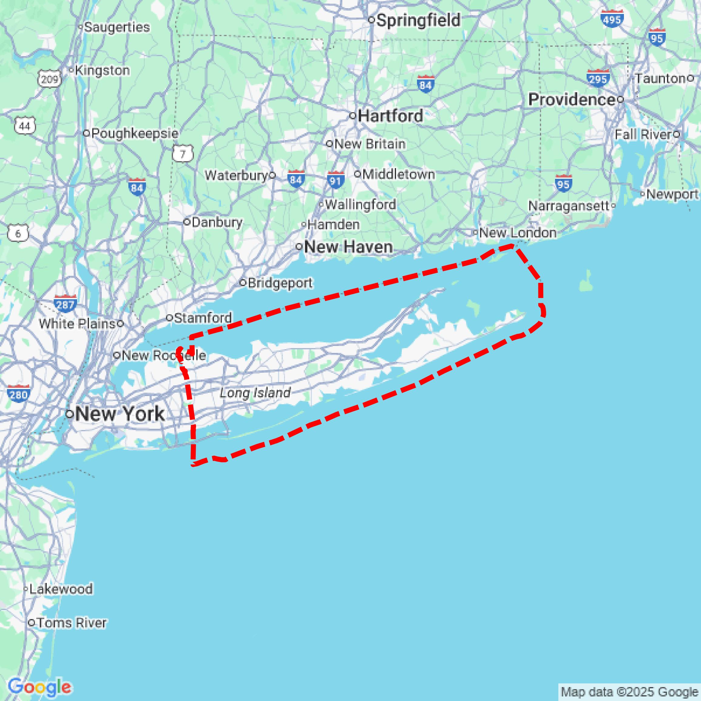
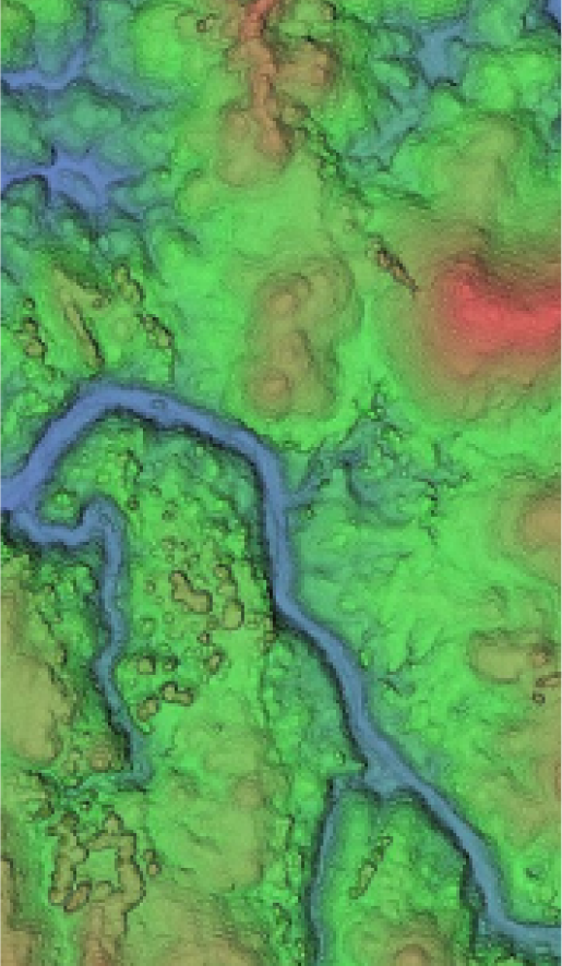

Data Available
Download GIS Data for Suffolk County
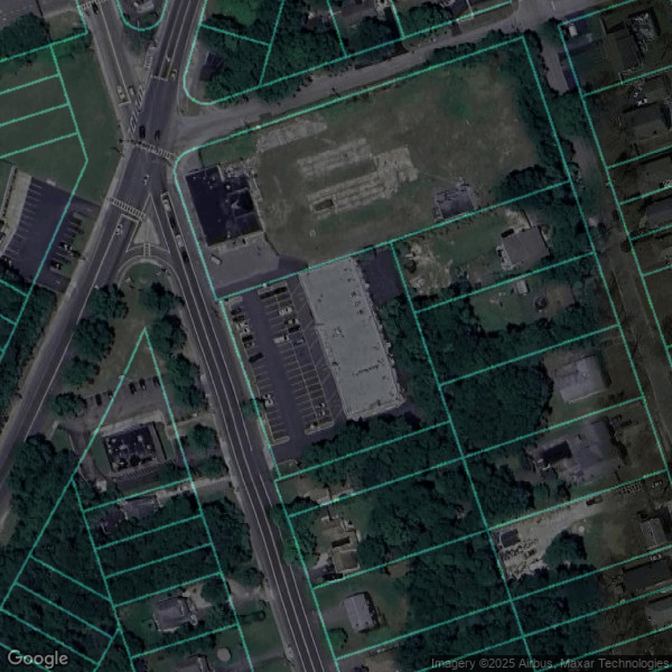
Parcels and Buildings
This image shows parcel and building data in Suffolk County created using GIS data in Equator.
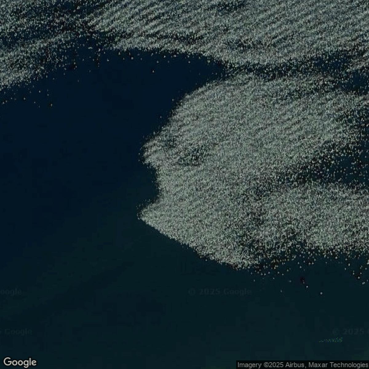
LiDAR
This image shows a LiDAR point cloud in Suffolk County created using GIS data in Equator.
Formats Available
Export Your Data Ready to Use in Multiple Formats
DWG
AutoCAD Drawing - Industry-standard CAD format
Supported Data:
Contour, Parcel, Building Outline
SHP
Shapefile - Standard GIS vector format
Supported Data:
Contour, Parcel, Building Outline
DXF
Drawing Exchange Format - Universal CAD interchange
Supported Data:
Contour, Building Outline
GeoJSON
Geographic JSON - Web-friendly spatial data format
Supported Data:
Contour, Parcel, Building Outline
LAZ
Compressed LAS - Efficient LiDAR point cloud format
Supported Data:
Point Cloud
SVG
Scalable Vector Graphics - Web vector format
Supported Data:
Contour, Building Outline
GPKG
GeoPackage - Modern OGC spatial database format
Supported Data:
Contour, Parcel, Building Outline
LandXML (Coming Soon)
Land XML - Civil engineering data exchange format
Supported Data:
Point Cloud
TIN (Coming Soon)
Triangulated Irregular Network - 3D surface model
Supported Data:
Point Cloud
XYZ (Coming Soon)
XYZ Point Cloud - Simple ASCII point cloud format
Supported Data:
Point Cloud
Background
GIS Data for Suffolk County
The Suffolk County Cartography and GIS website offers a comprehensive suite of Geographic Information System (GIS) and cartographic resources designed to support the Department of Economic Development and Planning, other County agencies, and public entities such as towns and villages. Visitors can access extensive "GIS Data" layers through the Suffolk County GIS Portal and Open Data Portal covering topics like land use, demographics, development, natural resources, farmland, and aquaculture. The site also hosts a unique repository of "Historic Aerial Photography" of Suffolk County from 1928 through 2001, available for viewing by appointment, along with instructions and links to additional historic aerial sources and the online Suffolk County GIS Viewer. Additionally, the Cartography and GIS unit provides numerous "Maps Available For Download" in PDF format, including detailed land use maps by town and year, such as "Land Use" maps for each town from 2007 to 2016 and thematic maps covering topics like "Potential Environmental Justice Areas," "Disadvantaged Communities," "Sewered Areas and Sewage Treatment Plants," "Legislative Districts," and natural features such as "Pine Barrens & NYS Wetlands." Specialized resources like the Suffolk County Jurisdictional Map, project data for environmental and aquaculture programs, and maps for community development and water quality improvement initiatives are also featured. This site serves as an essential hub for detailed spatial information, mapping tools, and data sets supporting planning, environmental analysis, and regulatory review across Suffolk County.
Access Suffolk County GIS Data in Equator →Suffolk County Portal →