Overview
Island County GIS Data – For CAD
Equator helps civil engineering, architecture and consulting firms with the tools to instantly find, process and download accurate LiDAR, contours, parcel data, building footprints, DEMs, point clouds and other GIS data for Island County in an online web mapping portal.
Island County GIS Data →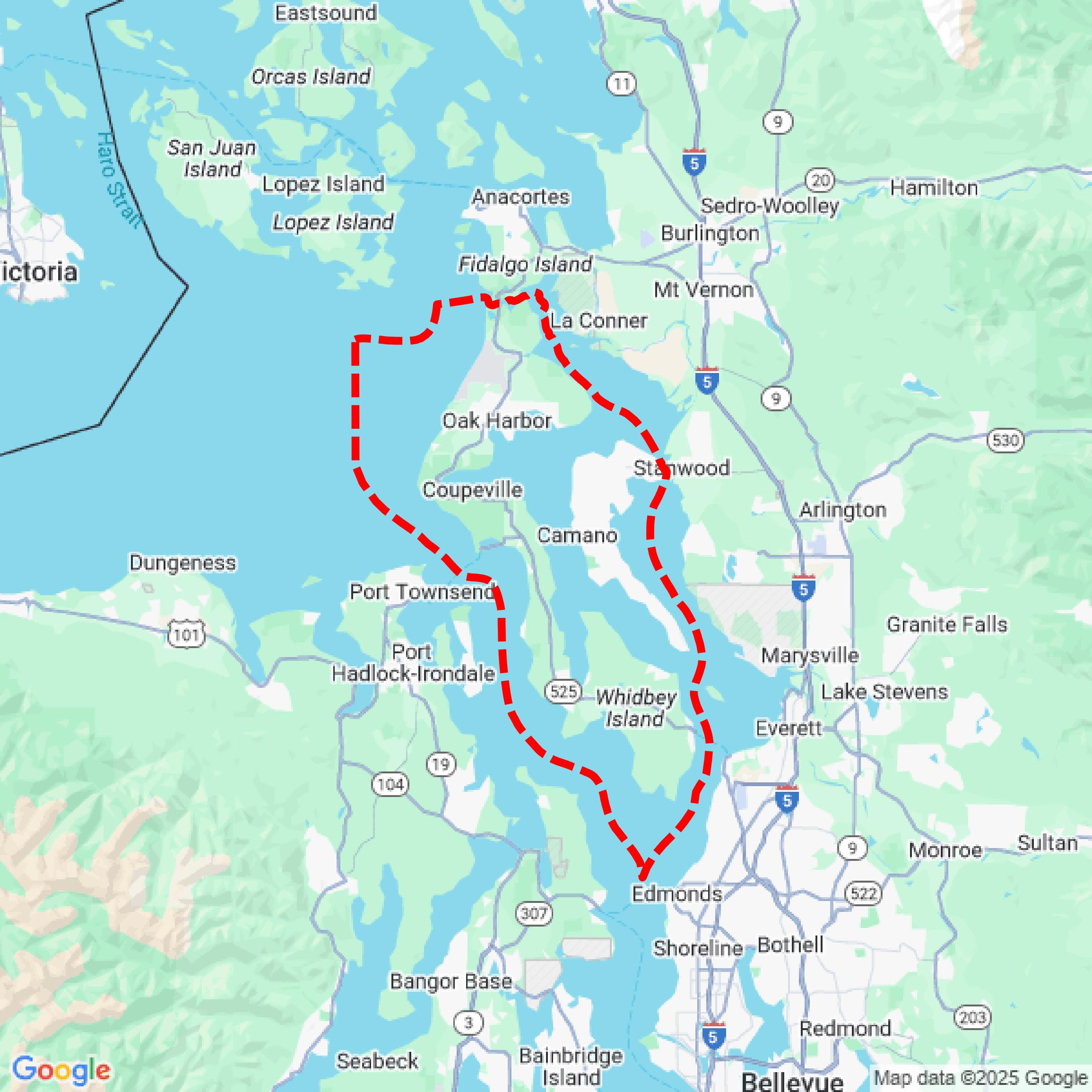

Data Available
Download GIS Data for Island County
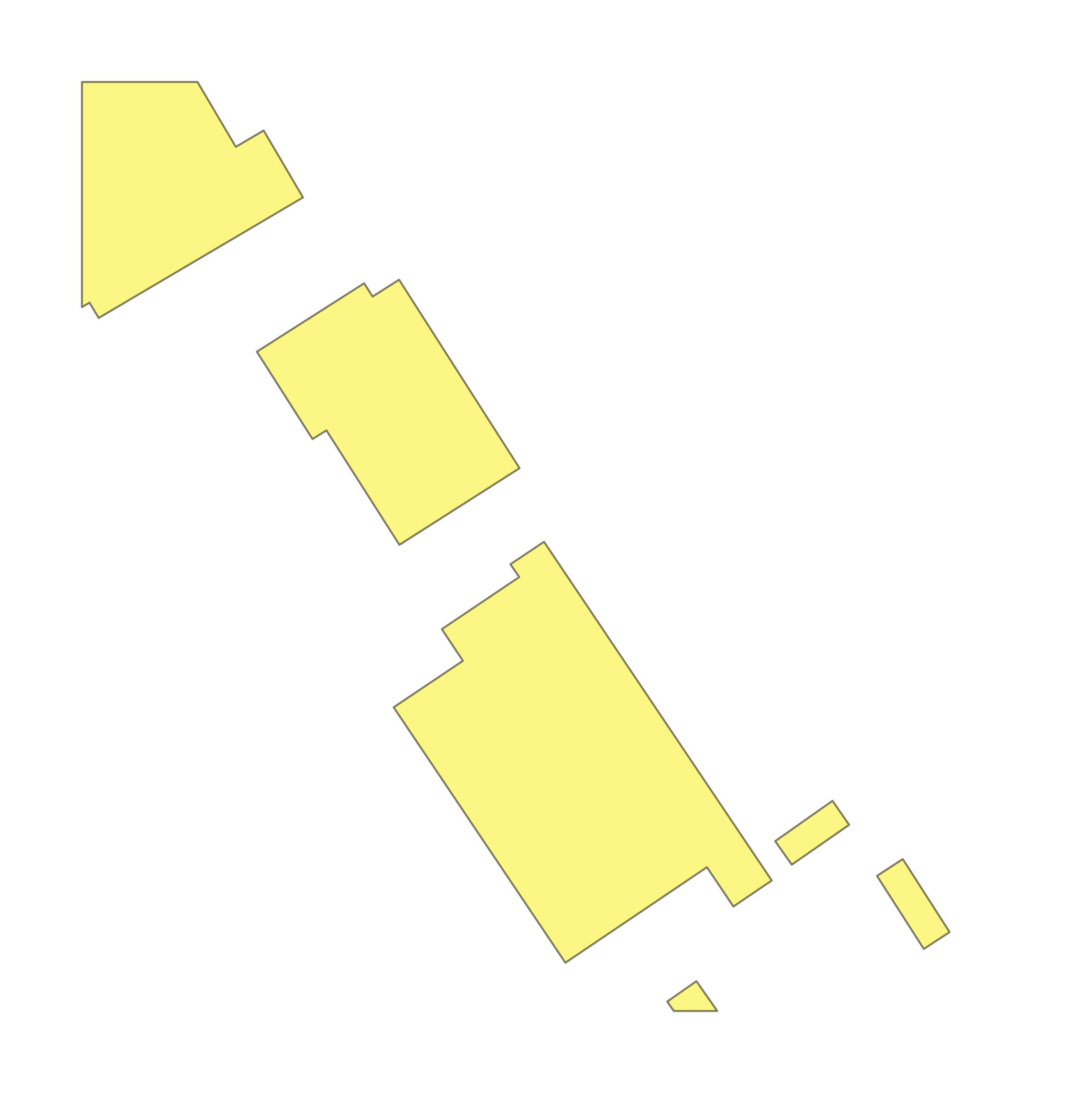
Parcels and Buildings
This image shows parcel and building data in Island County created using GIS data in Equator.
Get Parcels and Buildings for Island CountyLiDAR
This image shows a LiDAR point cloud in Island County created using GIS data in Equator.
Get LiDAR for Island CountyContours
This image shows a contour map in Island County created using GIS data in Equator.
Get Contours for Island CountyFormats Available
Export Your Data Ready to Use in Multiple Formats
DWG
AutoCAD Drawing - Industry-standard CAD format
Supported Data:
Contour, Parcel, Building Outline
SHP
Shapefile - Standard GIS vector format
Supported Data:
Contour, Parcel, Building Outline
DXF
Drawing Exchange Format - Universal CAD interchange
Supported Data:
Contour, Building Outline
GeoJSON
Geographic JSON - Web-friendly spatial data format
Supported Data:
Contour, Parcel, Building Outline
LAZ
Compressed LAS - Efficient LiDAR point cloud format
Supported Data:
Point Cloud
SVG
Scalable Vector Graphics - Web vector format
Supported Data:
Contour, Building Outline
GPKG (Coming Soon)
GeoPackage - Modern OGC spatial database format
Supported Data:
Contour, Parcel, Building Outline
LandXML (Coming Soon)
Land XML - Civil engineering data exchange format
Supported Data:
Point Cloud
TIN (Coming Soon)
Triangulated Irregular Network - 3D surface model
Supported Data:
Point Cloud
XYZ (Coming Soon)
XYZ Point Cloud - Simple ASCII point cloud format
Supported Data:
Point Cloud
Background
GIS Data for Island County
The Island County, Washington GIS and open data portal provides access to a variety of geographic information system (GIS) resources, including interactive web maps and downloadable datasets. Key offerings include the ICGeoMap, which features multiple layers for viewing and analyzing spatial data, and the Island County Oblique Imagery Viewer, showcasing aerial imagery captured in 2020. The updated Open Data platform allows users to access refreshed datasets, preview data before downloading, and explore additional layers linked to other Washington State agencies. The site emphasizes that the GIS data is intended as a general guide and should not be relied upon for precise measurements or legal purposes.
Access Island County GIS Data in Equator →Island County Portal →Showcase
Sample GIS Data for Island County
Parcels and Buildings
Parcel and building data in Island County are used in a variety of fields including architecture, real estate, and urban planning.
Get Parcels and Buildings for Island CountyLiDAR
Point clouds (LiDAR) in Island County can produce highly accurate 3D models of terrain, structures, and vegetation.
Get LiDAR for Island CountyContours
Contours in Island County visualize 3D elevations on a 2D surface allowing you to better understand your site.
Get Contours for Island County