Overview
San Juan County GIS Data – For CAD
Equator helps civil engineering, architecture and consulting firms with the tools to instantly find, process and download accurate LiDAR, contours, parcel data, building footprints, DEMs, point clouds and other GIS data for San Juan County in an online web mapping portal.
San Juan County GIS Data →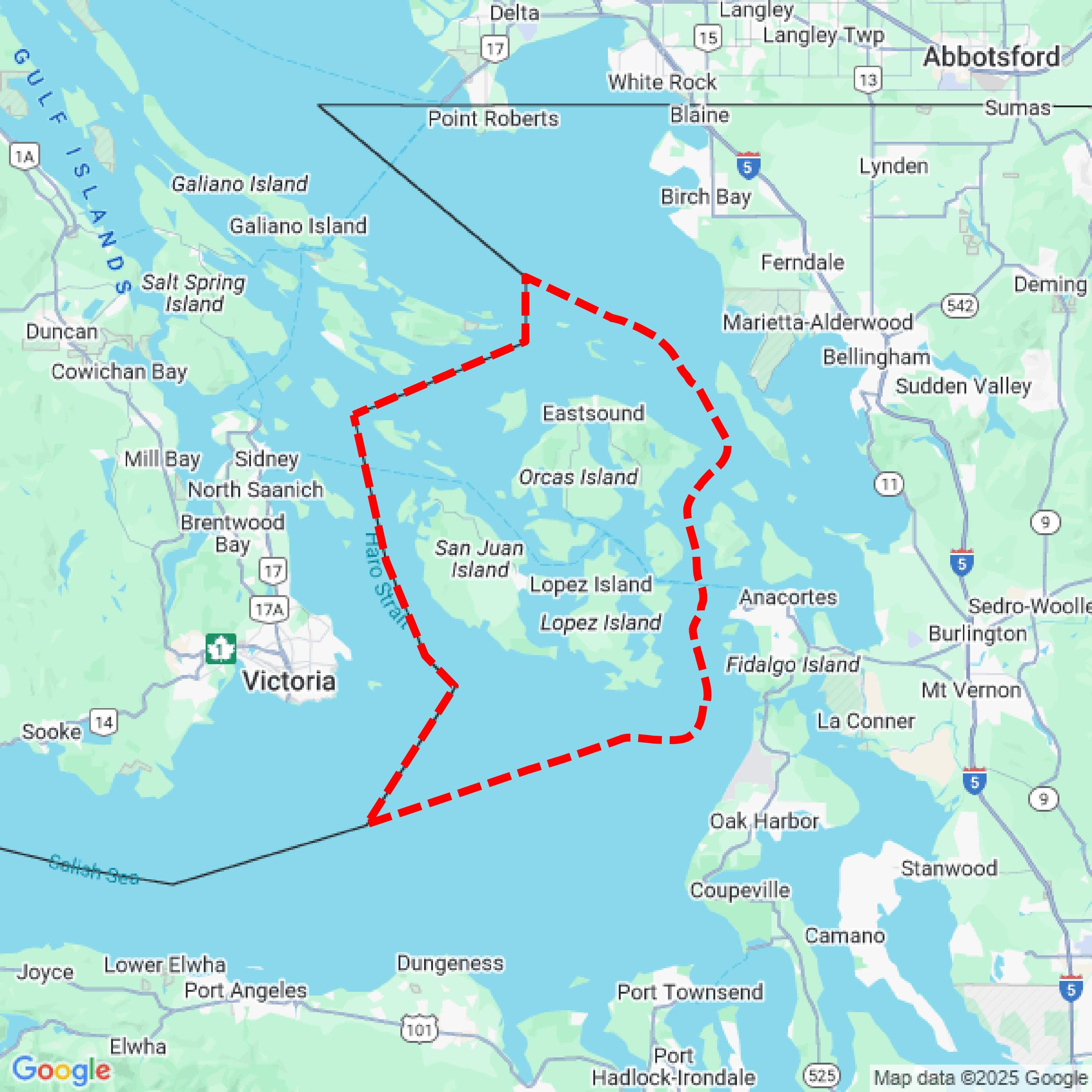

Data Available
Download GIS Data for San Juan County
Parcels and Buildings
This image shows parcel and building data in San Juan County created using GIS data in Equator.
Get Parcels and Buildings for San Juan CountyLiDAR
This image shows a LiDAR point cloud in San Juan County created using GIS data in Equator.
Get LiDAR for San Juan CountyContours
This image shows a contour map in San Juan County created using GIS data in Equator.
Get Contours for San Juan CountyFormats Available
Export Your Data Ready to Use in Multiple Formats
DWG
AutoCAD Drawing - Industry-standard CAD format
Supported Data:
Contour, Parcel, Building Outline
SHP
Shapefile - Standard GIS vector format
Supported Data:
Contour, Parcel, Building Outline
DXF
Drawing Exchange Format - Universal CAD interchange
Supported Data:
Contour, Building Outline
GeoJSON
Geographic JSON - Web-friendly spatial data format
Supported Data:
Contour, Parcel, Building Outline
LAZ
Compressed LAS - Efficient LiDAR point cloud format
Supported Data:
Point Cloud
SVG
Scalable Vector Graphics - Web vector format
Supported Data:
Contour, Building Outline
GPKG (Coming Soon)
GeoPackage - Modern OGC spatial database format
Supported Data:
Contour, Parcel, Building Outline
LandXML (Coming Soon)
Land XML - Civil engineering data exchange format
Supported Data:
Point Cloud
TIN (Coming Soon)
Triangulated Irregular Network - 3D surface model
Supported Data:
Point Cloud
XYZ (Coming Soon)
XYZ Point Cloud - Simple ASCII point cloud format
Supported Data:
Point Cloud
Background
GIS Data for San Juan County
The webpage for Fire Risk & Burn Permits in San Juan County, Washington, provides essential information regarding burn permits, including application processes and associated costs for residential and commercial burning. It outlines the seasonal availability of permits, emphasizing fire safety and regulations during specific months. The site includes GIS resources related to fire risk, offering spatial data that may assist in understanding fire danger levels and compliance requirements. Additionally, it may feature maps and datasets pertinent to fire management and land use within the county, contributing to informed decision-making regarding outdoor burning activities.
Access San Juan County GIS Data in Equator →San Juan County Portal →Showcase
Sample GIS Data for San Juan County
Parcels and Buildings
Parcel and building data in San Juan County are used in a variety of fields including architecture, real estate, and urban planning.
Get Parcels and Buildings for San Juan CountyLiDAR
Point clouds (LiDAR) in San Juan County can produce highly accurate 3D models of terrain, structures, and vegetation.
Get LiDAR for San Juan CountyContours
Contours in San Juan County visualize 3D elevations on a 2D surface allowing you to better understand your site.
Get Contours for San Juan County