Overview
St. Louis County GIS Data – For CAD
Equator helps civil engineering, architecture and consulting firms with the tools to instantly find, process and download accurate LiDAR, contours, parcel data, DEMs, point clouds and other GIS data for St. Louis County in an online web mapping portal.
St. Louis County GIS Data →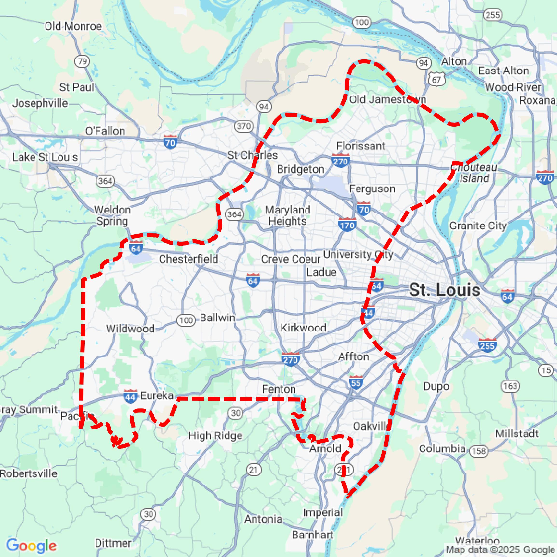

Data Available
Download GIS Data for St. Louis County
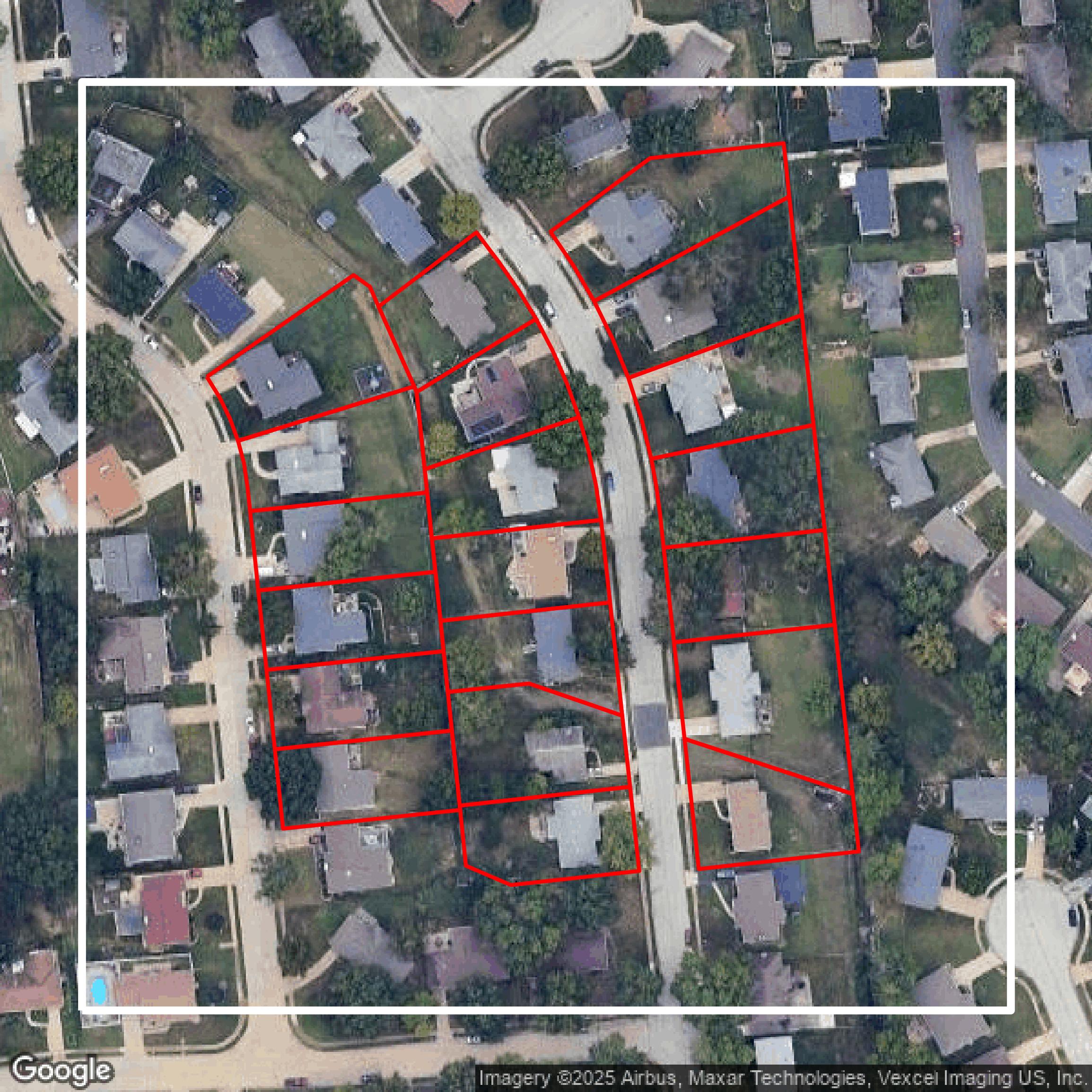
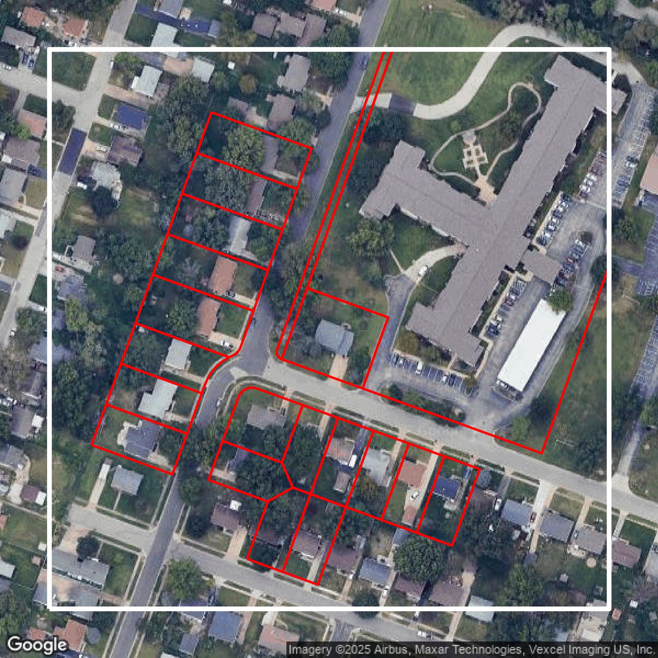
Parcels
This image shows parcel data in St. Louis County created using GIS data in Equator.
Get Parcels for St. Louis County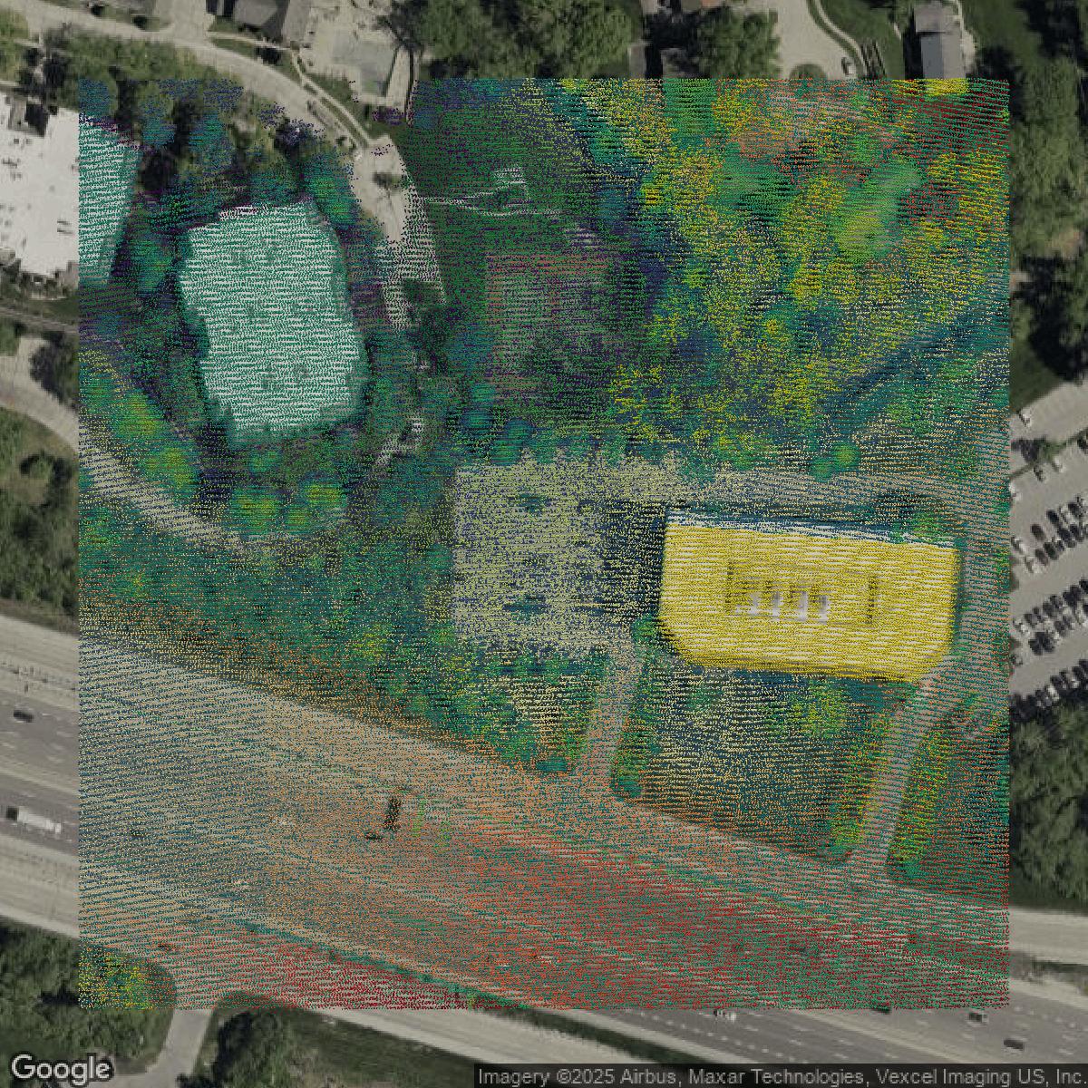
LiDAR
This image shows a LiDAR point cloud in St. Louis County created using GIS data in Equator.
Get LiDAR for St. Louis County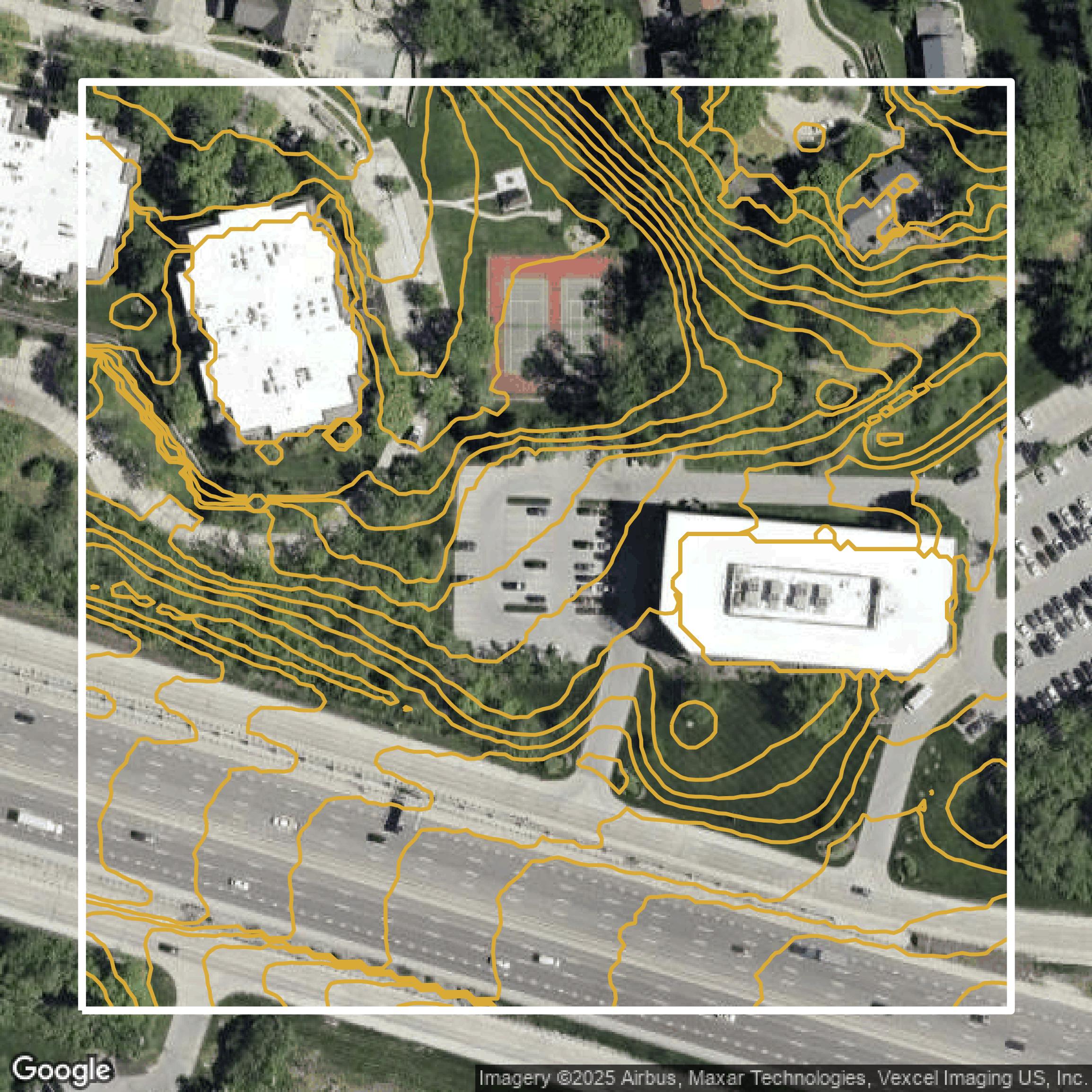
Contours
This image shows a contour map in St. Louis County created using GIS data in Equator.
Get Contours for St. Louis CountyBackground
GIS Data for St. Louis County
Saint Louis County’s Open Government website offers a comprehensive platform where visitors can access accurate, consistent, and affordable Geographic Information Systems (GIS) data and services designed in partnership with public and private agencies. Users can explore a rich collection of datasets including “Parcel Boundaries,” “Flood Zones,” “Zoning Districts,” and “Transportation Networks,” alongside interactive tools such as “Interactive Maps” that enable dynamic spatial analysis and visualization. The site hosts a variety of open data resources under categories like “Open Data” and provides easy-to-use search features to find specific datasets tagged with “HubAllData,” “HubPrintAll,” and “HubAppAll.” Whether you are a government official, business professional, or community member, you can expect to find comprehensive geospatial information and mapping tools that support transparency, planning, and informed decision-making in Saint Louis County.
Access St. Louis County GIS Data in Equator →St. Louis County Portal →Showcase
Sample GIS Data for St. Louis County
Parcels
This image shows parcel data in St. Louis County created using GIS data in Equator.
Get Parcels for St. Louis County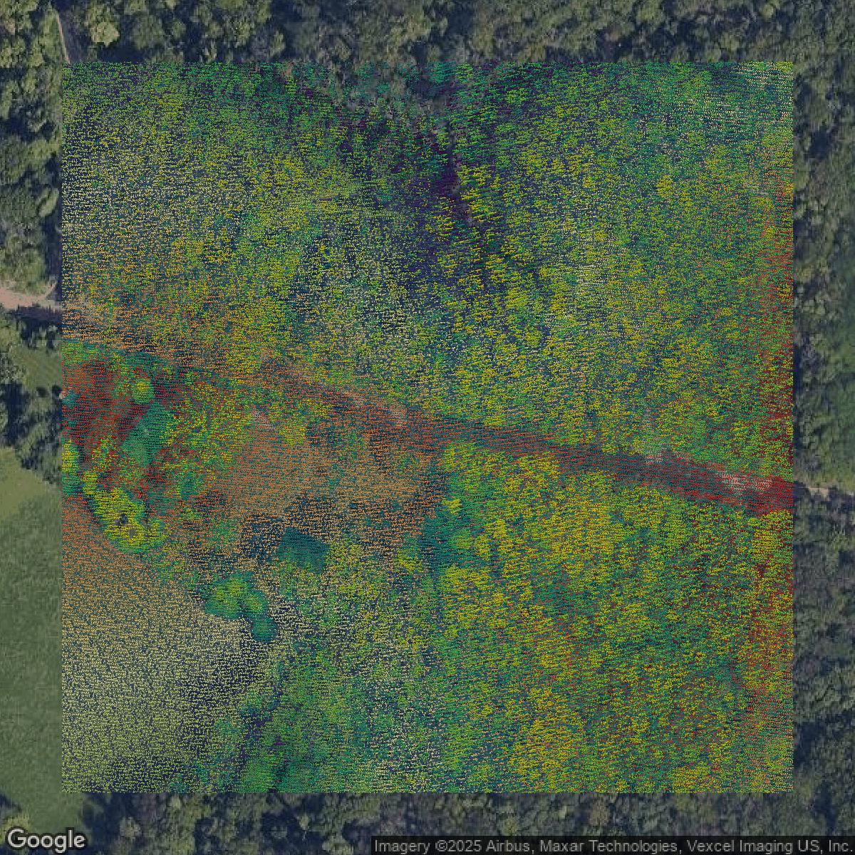
LiDAR
This image shows a LiDAR point cloud in St. Louis County created using GIS data in Equator.
Get LiDAR for St. Louis County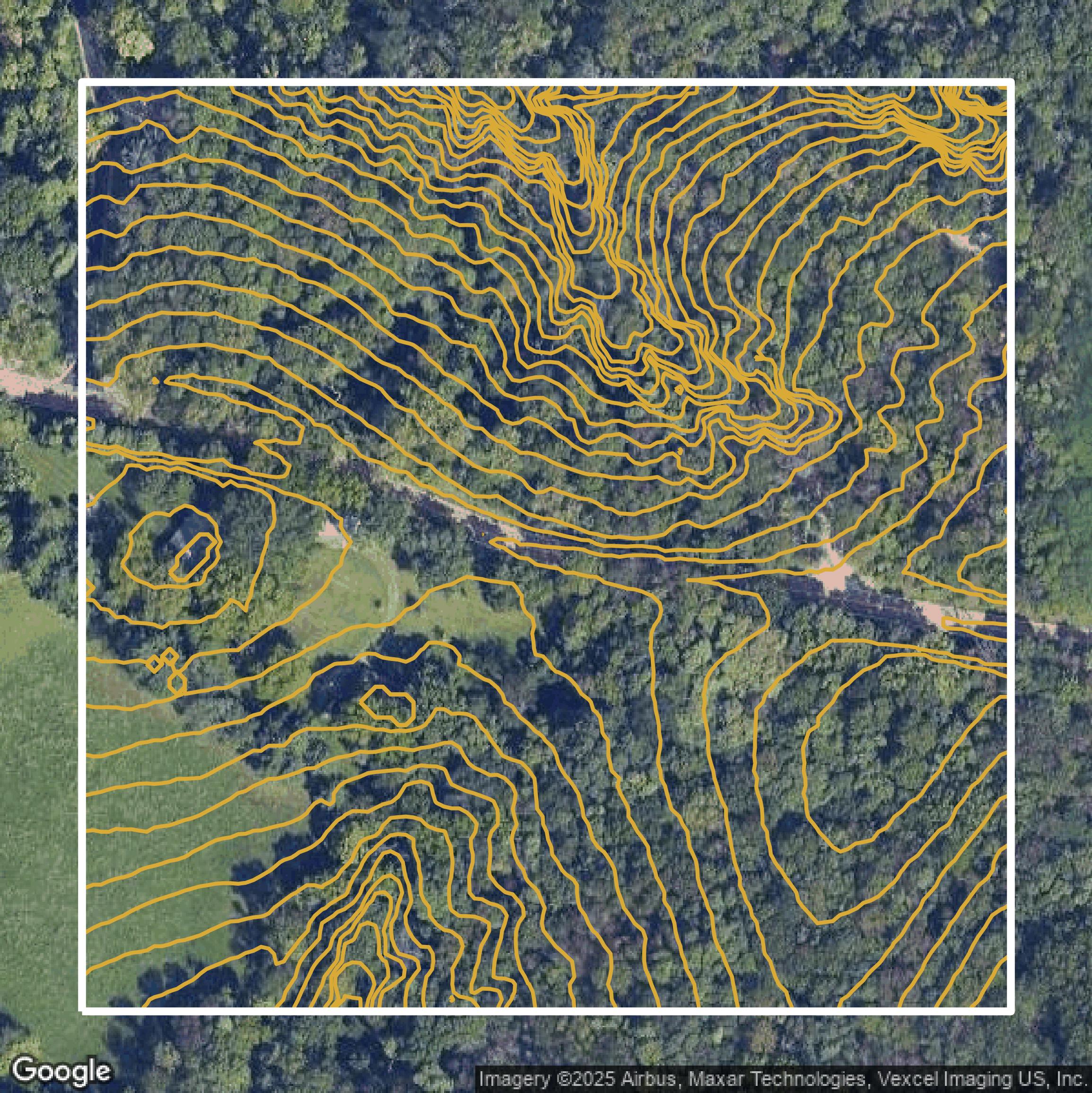
Contours
This image shows a contour map in St. Louis County created using GIS data in Equator.
Get Contours for St. Louis County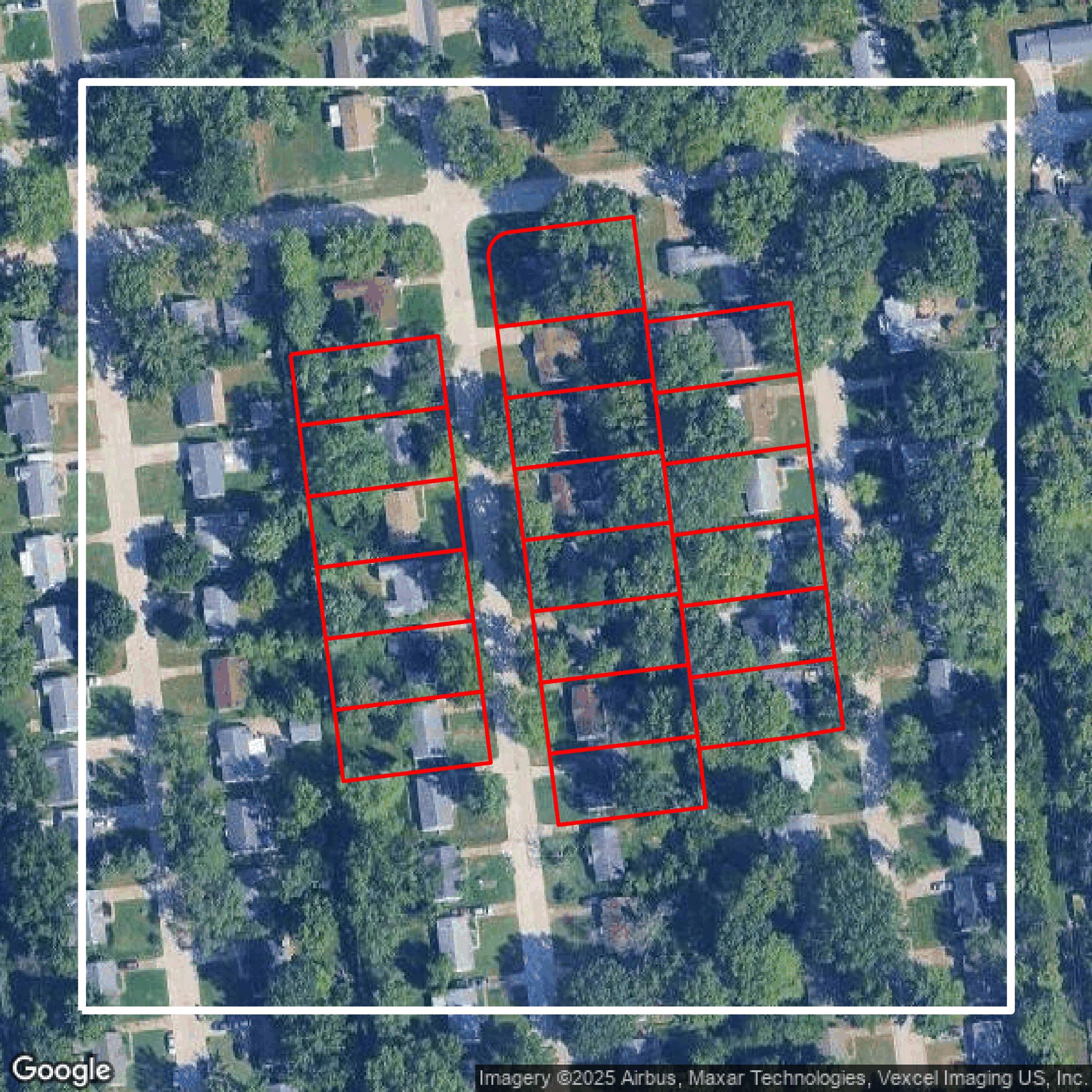
Parcels
This image shows parcel data in St. Louis County created using GIS data in Equator.
Get Parcels for St. Louis County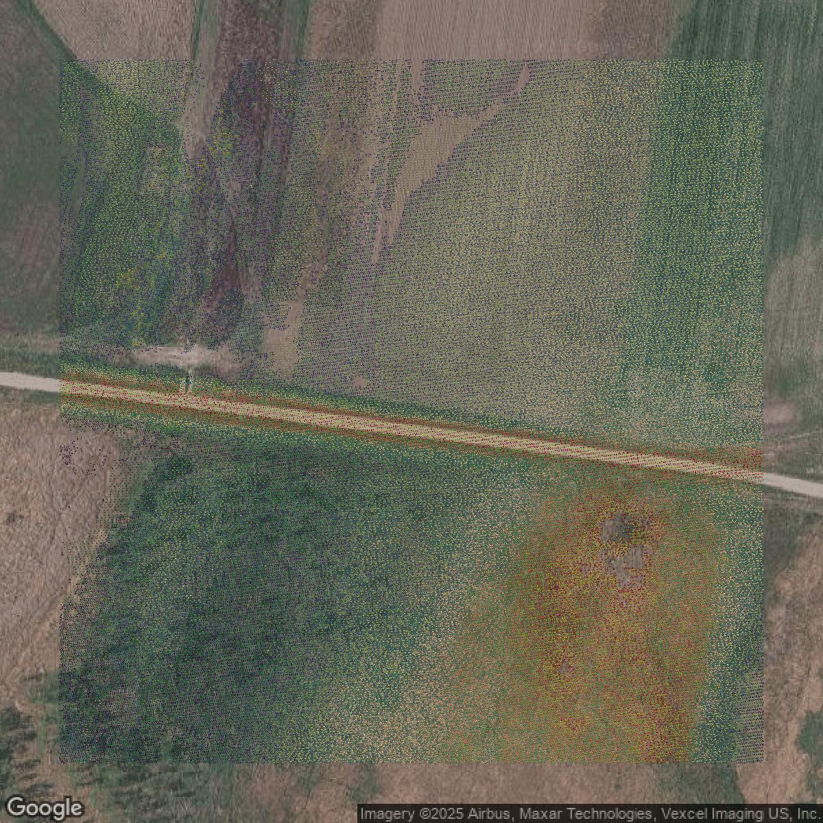
LiDAR
This image shows a LiDAR point cloud in St. Louis County created using GIS data in Equator.
Get LiDAR for St. Louis County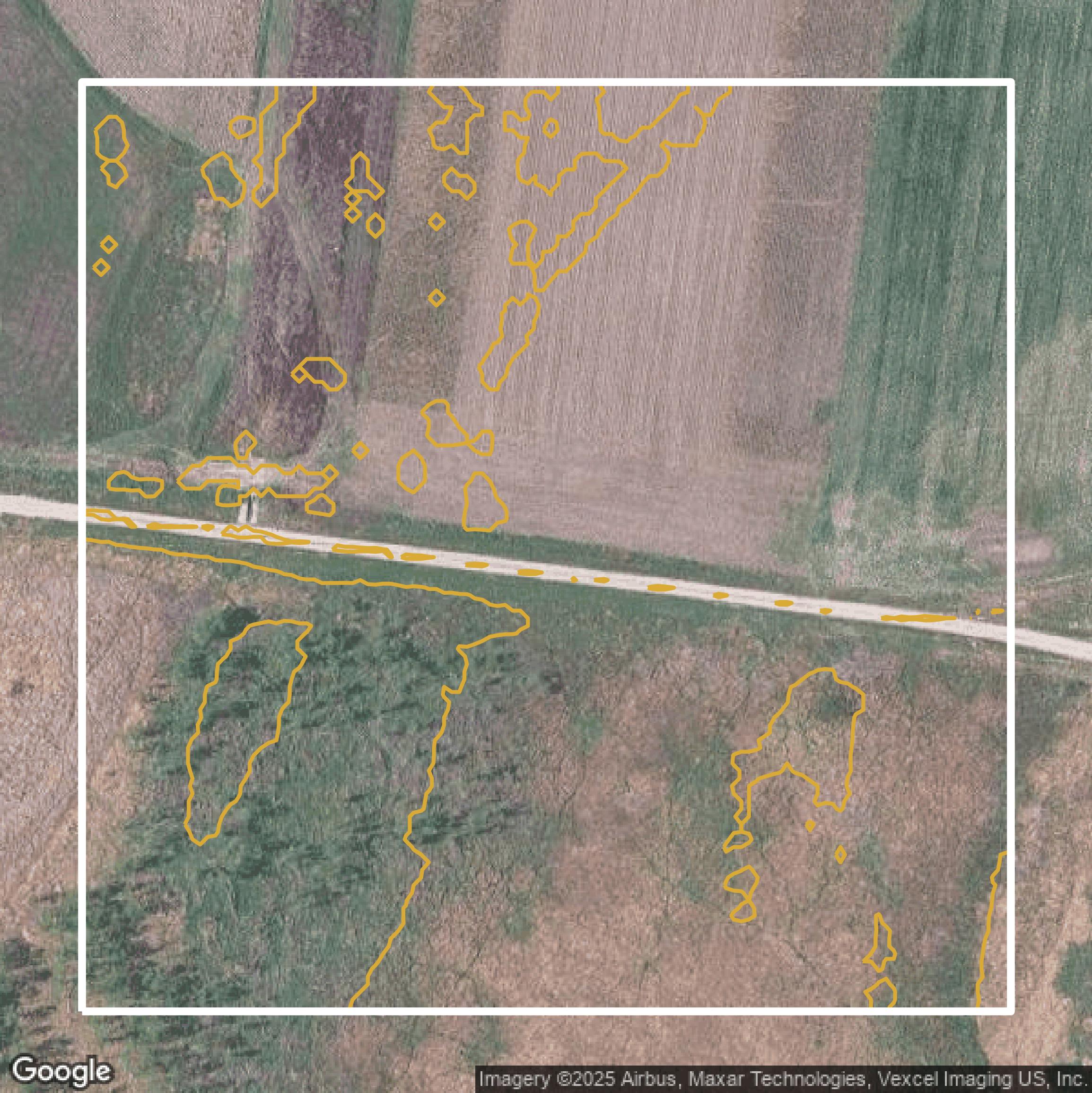
Contours
This image shows a contour map in St. Louis County created using GIS data in Equator.
Get Contours for St. Louis County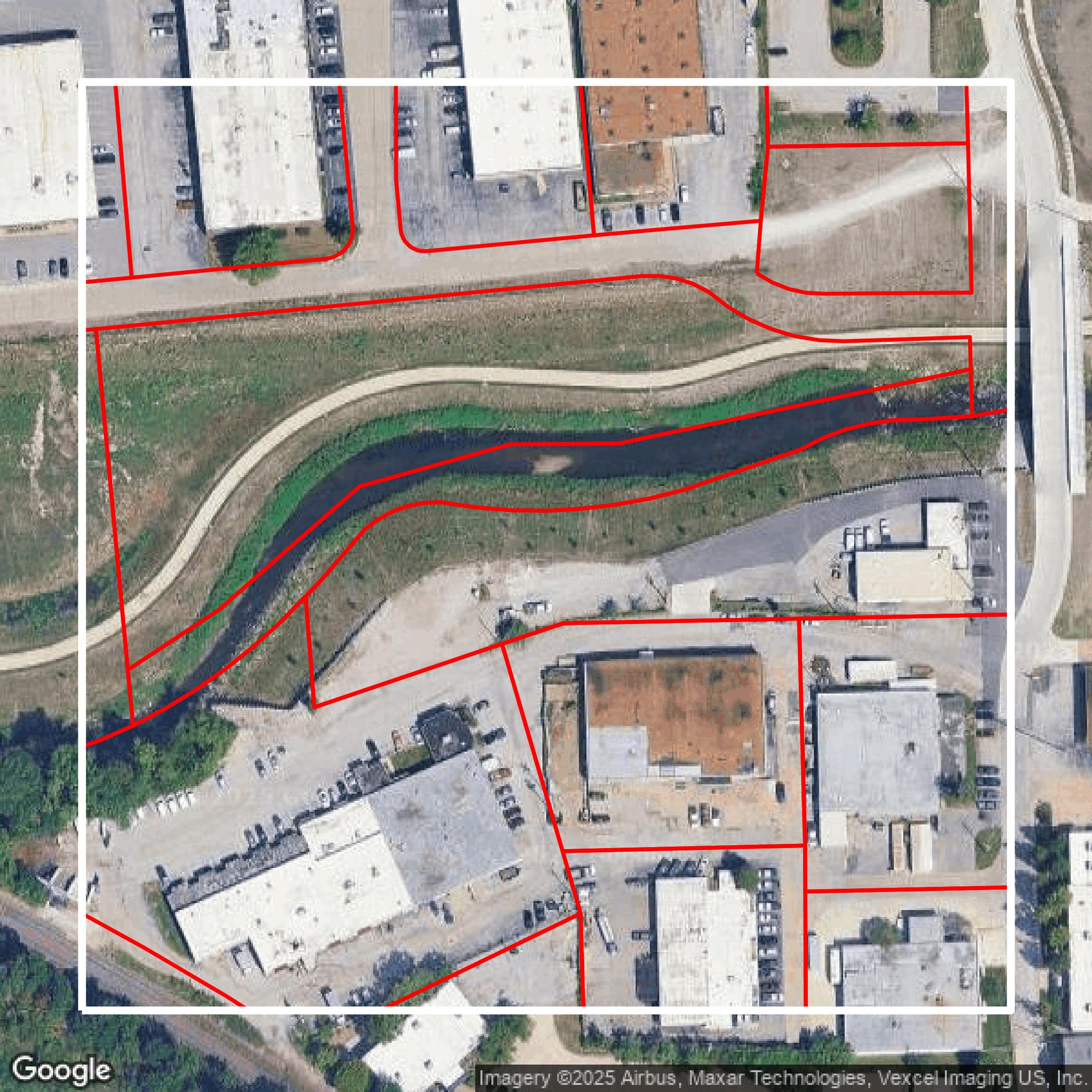
Parcels
This image shows parcel data in St. Louis County created using GIS data in Equator.
Get Parcels for St. Louis County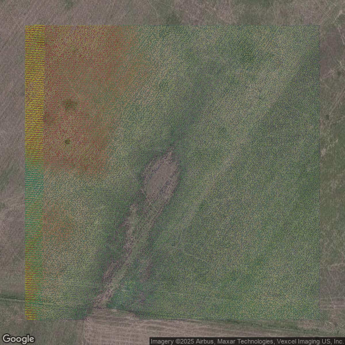
LiDAR
This image shows a LiDAR point cloud in St. Louis County created using GIS data in Equator.
Get LiDAR for St. Louis County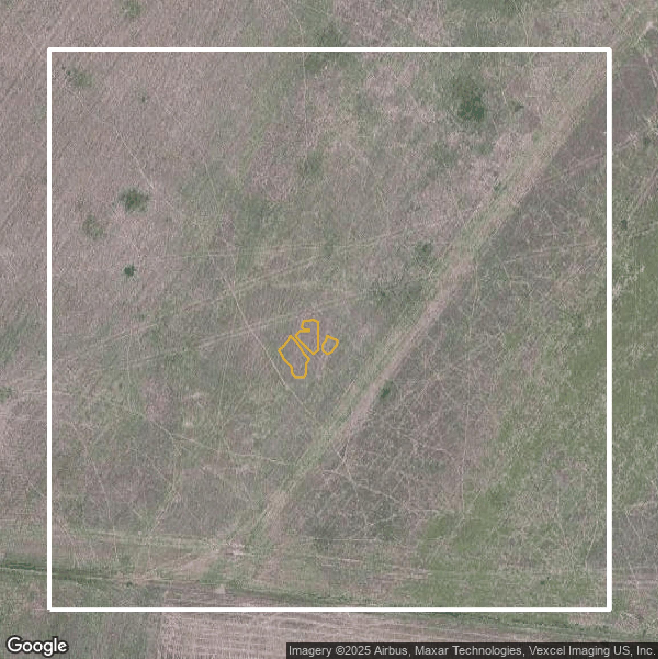
Contours
This image shows a contour map in St. Louis County created using GIS data in Equator.
Get Contours for St. Louis County